 Lovelock Cave
Lovelock
Overview
|
Sat 44 | 14 |
Sun 50 | 17 |
Mon 52 | 22 |
Tue 54 | 33 |
Wed 57 | 34 |
| View Full Weather Details | ||||
|
Sat 44 | 14 |
Sun 50 | 17 |
Mon 52 | 22 |
Tue 54 | 33 |
Wed 57 | 34 |
| View Full Weather Details | ||||
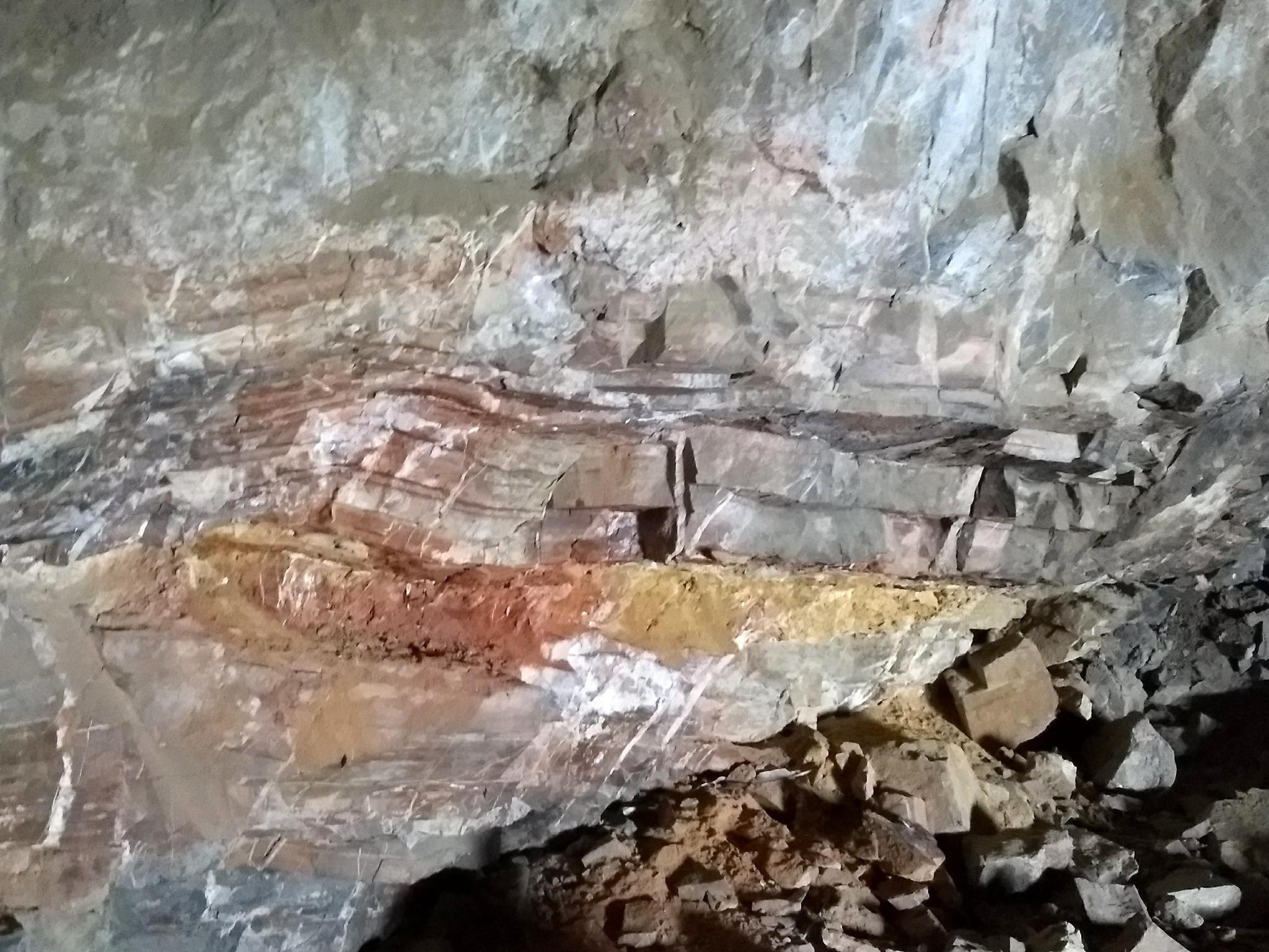
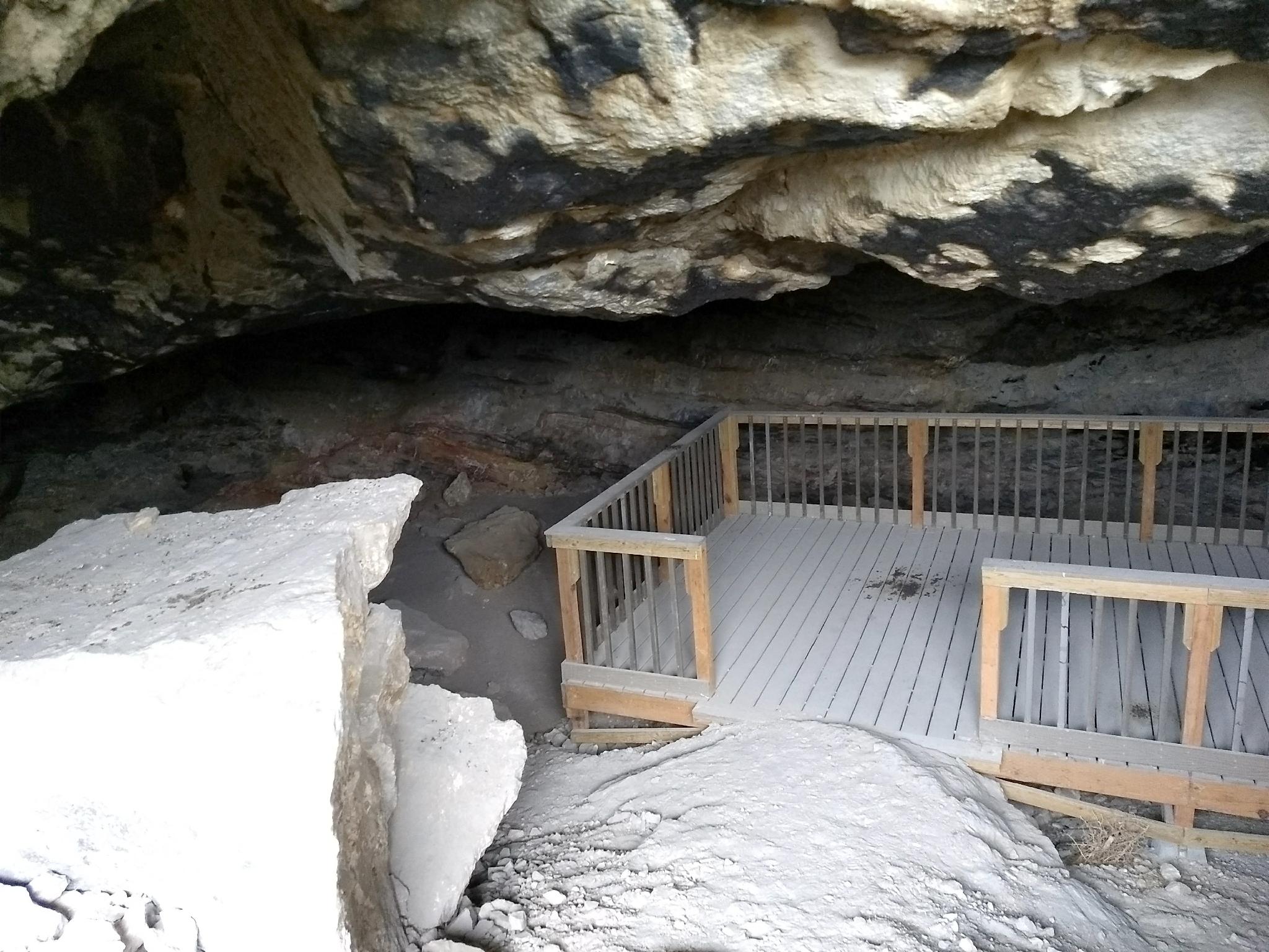
Lovelock Cave is one of the of crown jewels of archaeological finds in northern Nevada and quite possibly the entire west. The cave was "discovered" in modern times in 1911 when two guano miners (David Pugh and James Hart) were excavating the cave. They removed an astounding 3-6 foot thick layer of the smelly black gold, leaving all but the most interesting artifacts in a heap outside of the cave.
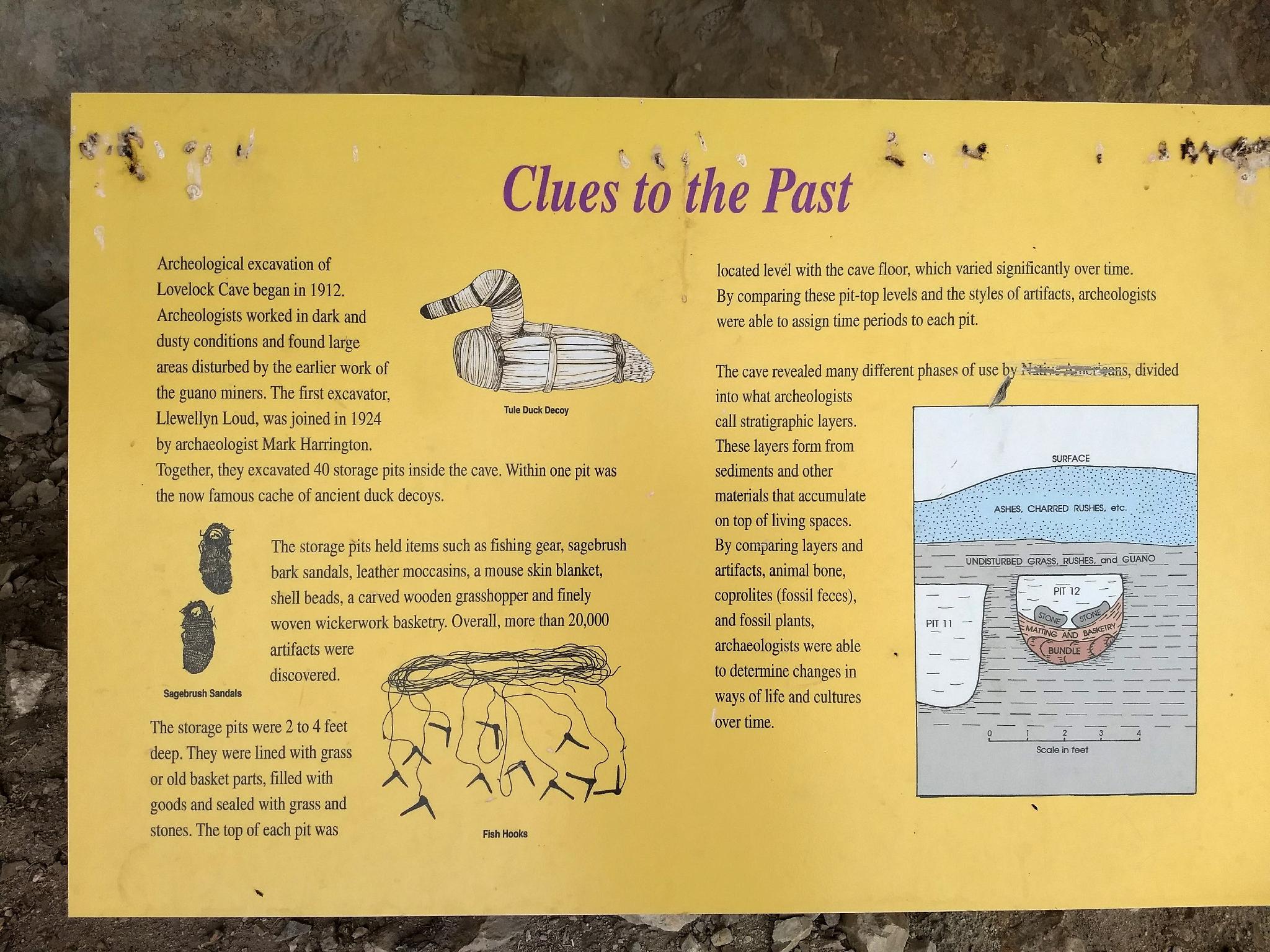
In 1912, L. L. Loud, an employee of the Museum of Anthropology, University of California, spent 5 months in the cave, collecting an estimated 10,000 artifacts!
There have been several major investigations and excavations of the cave, most notably by Loud (from the 1912 excavation) and Mark Harrington in 1924. Together, they excavated an astonishing 40 storage pits in the cave. The pits were 2-4 feet deep and lined with grasses, then covered with rocks. The caches held items the natives were storing for future use. Most famous of the items found in these pits were duck decoys presumably used for hunting.
The tops of the pits were at different heights, depending on the ground level when the pit was buried. This gave archeologists an idea of the time period of each pit and shows that many different groups used the cave for storage over an extended period of time. This cache system and the artifacts in each cache give a fascinating insight into the cultures that used the cave.
The BLM has created a byway guide for sights in Lovelock proper and for the drive to the cave. It is highly recommended, and available for download.
Getting There
Reaching the cave starts from the town of Lovelock Nevada. Take exit 106 off of I-80.
Once off the highway, turn north on Main Street, then a left onto Amherst Ave. Follow Amherst for 6.5 miles. It crosses under the highway at 0.4 miles. At 6.5 miles is a 4-way junction, stay straight.
At 8.5 miles, the road reaches a T-junction. Go left.
At 9.4 miles, stay straight (ignoring the left side road)
10.5 miles, turn right.
18.5 miles, the trailhead parking area.
Route
From the trailhead and parking area, the signed trail leaves the parking area. I recommend starting on the southeast side of the parking area and hiking the trail in a counterclockwise direction. This gives big views of the scenery and visits the cave last for a spectacular ending to the hike.
| Trailhead |
11S 366907E 4424766N 39°57'45"N 118°33'30"W |
| Lovelock Cave |
11S 366942E 4424847N 39°57'48"N 118°33'29"W |


