 Roadside Attraction
Pony Express Trail
Roadside Attraction
Pony Express Trail
West Desert
Overview
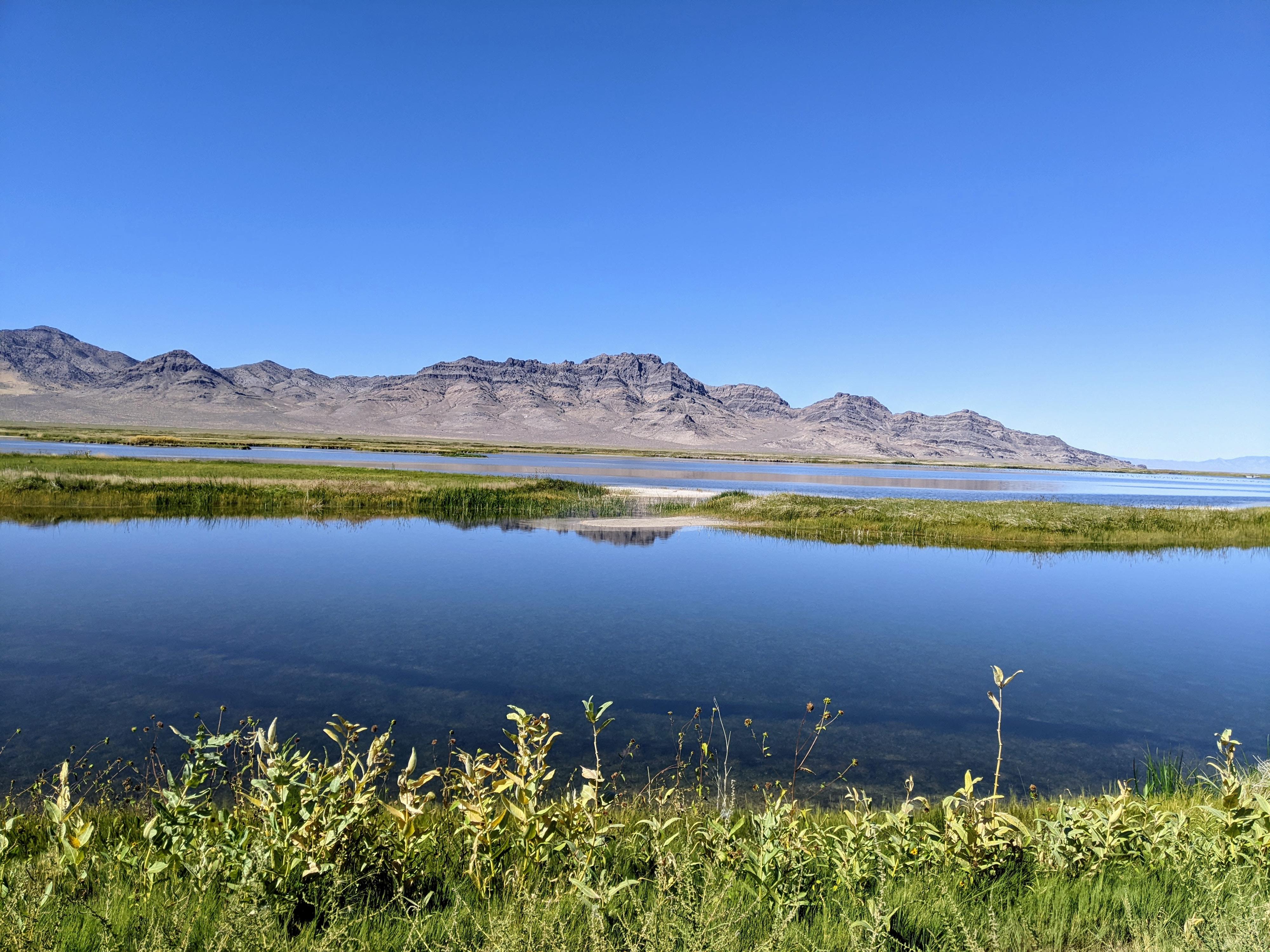
Utah’s west desert is a vast and inhospitable place! The area has limited and poor quality water, scorching temperatures in the summer, freezing temperatures in the winter, and very limited resources. This is a place for hardy people that will put up with much hardship.
It also happens to be the chosen route for the Pony Express trail that was in use during 1860 and 1861. Today, the historic trail is a popular dirt road driven by those looking to experience history and the wild west the way it once was. Aside from improved dirt roads, the scenery has changed little along the road since the Pony Express days. The dirt road doesn't exactly follow the old route, but for the most part is pretty close.
A bit of Pony Express History:
“Men Wanted” The undersigned wishes to hire ten or a dozen men, familiar with the management of horses, as hostlers, or riders on the Overland Express Route via Salt Lake City. Wages $50 per month and found.
- Ad in Sacramento Union, March 19, 1860.
Starting in April 1860, and running until October 1861, the Pony Express changed history and the United States. The route, an incredible 1800 miles from St. Joseph, Missouri, to Sacramento, California, took 10 days to traverse. The riders would travel on horseback for 75-100 miles, changing horses every 10-15 miles. To accomplish such a feat, the Pony Express had to establish over 150 stations along the path across the country.
Once the telegraph came into existence, the Pony Express had a quick demise because it was no longer necessary to deliver messages urgently via mail. Though short-lived and never profitable, the Pony Express is a legendary example of American problem-solving and innovation.
Notes on driving the Pony Express Trail:
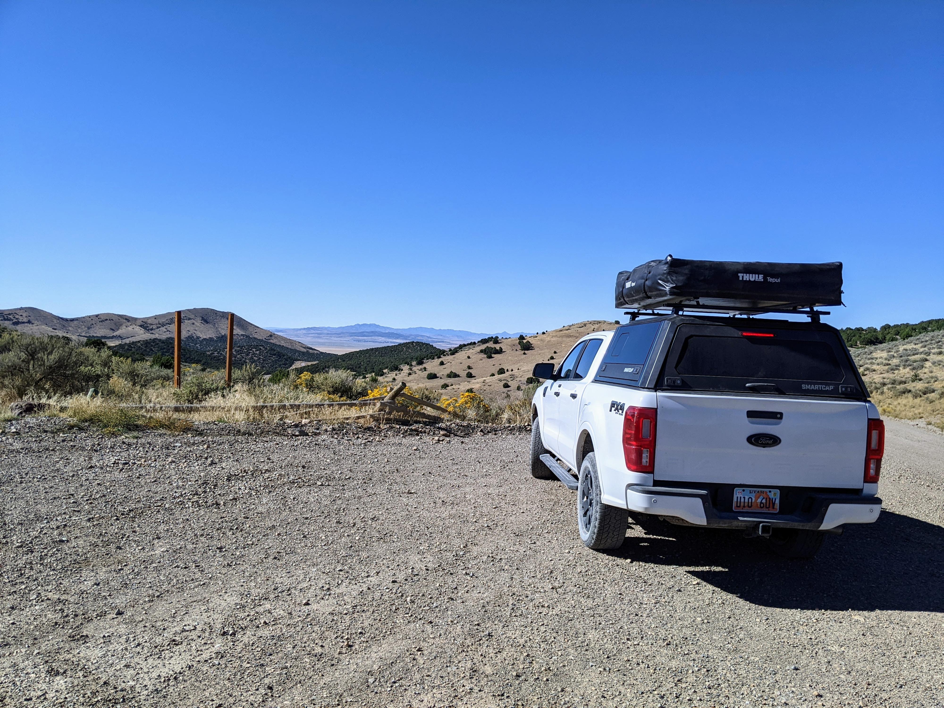
- The road is generally good, but about 100 dusty washboard miles separate Faust from Ibapah. Passenger cars drive the road, but I would recommend a mid-to-high-clearance vehicle. If you are going to leave the main road, many of the side roads require high clearance.
- The nearest services are Stockton on the east side of the route and Ibapah on the west. Stockton has fuel, but for much more you will want to continue to Tooele. Ibapah has a trading post with fuel but has limited hours. Many continue on to Wendover which has full services. Be sure to have a full tank of fuel, extra food and water, and spare tire before venturing out.
- There are two campgrounds along the trail. Simpson Springs, about 25 miles into the trail from the east, is lovely. Water, picnic tables, pit toilet, and shade trees. You can reserve Simpson Springs sites online are recreation.gov.
The other campground is the CCC Campground near Callao. It has a couple of picnic tables and fire pits, but nothing else. The CCC Campground is about 30 miles from Ibapah. It is not reservable, though I have seen no one else camped there the couple of times I have stayed there. - Aside from campgrounds, the area is almost exclusively BLM with primitive dispersed camping allowed most everywhere. There are many spur roads that provide excellent and isolated camping spots. If dispersed camping, be sure to cleanup trash and leave the area better than you found it.
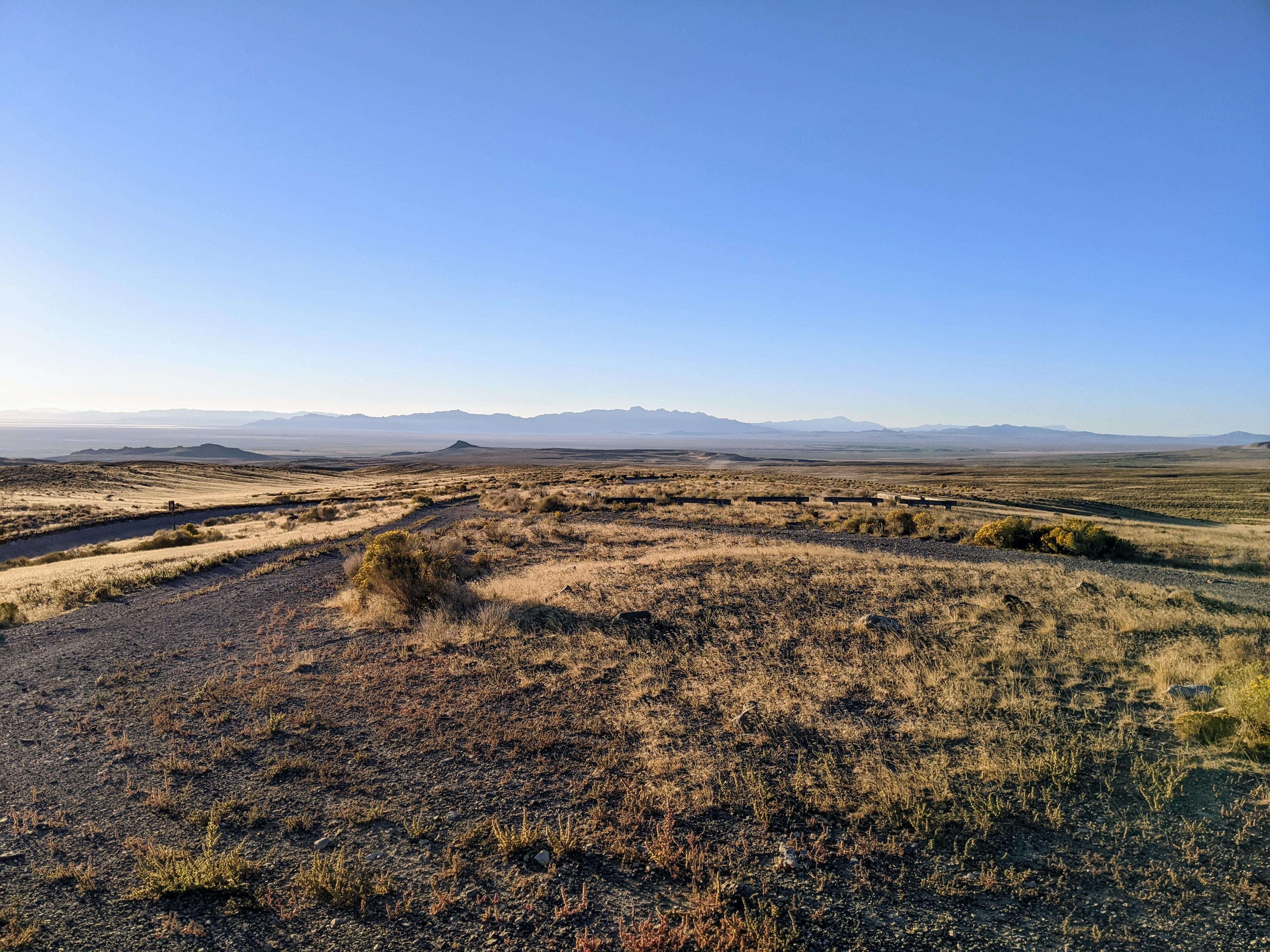
- The drive, at about 100 miles, can be done in a half day easily, though I strongly recommend camping at least one night. There are many sights to see, and the sunrises/sunsets are really stunning in the west desert. We camped 2 nights, one not far from Simpson Springs, and one at the CCC Campground.
- If visiting the Dugway Geode Beds, which I highly recommend, bring a shovel, pick, hammer, gloves, and eye protection.
Getting There
The route described below starts at the Faust Station. This is at mile marker 27.1 on UT-36, and about 21 miles south of the small town of Stockton Utah.
Route Description
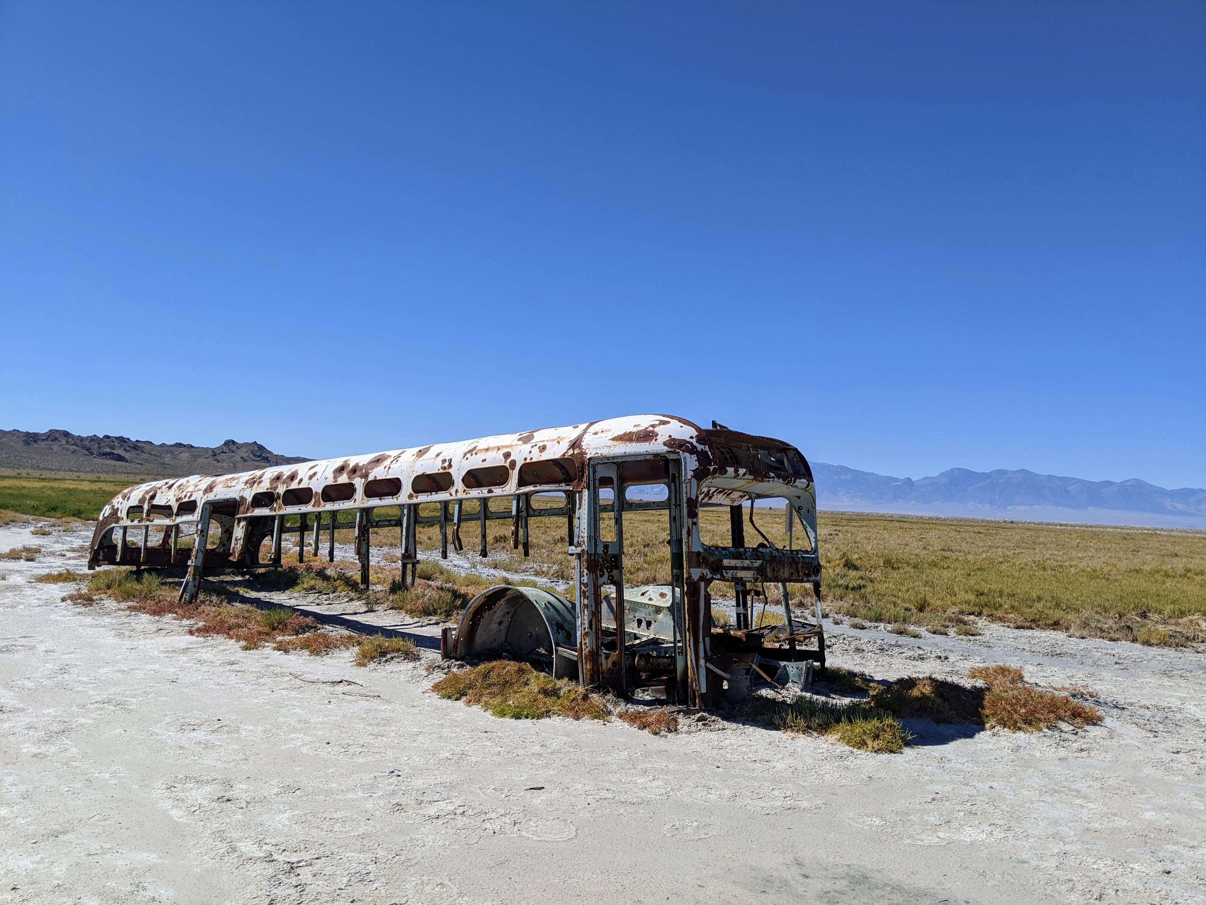
They originally used the trail as a series of stations, so I will describe it broken up the same way. Most of the old Pony Express stations are nothing more than a historic marker or remnants of a foundation today.
Lookout Pass
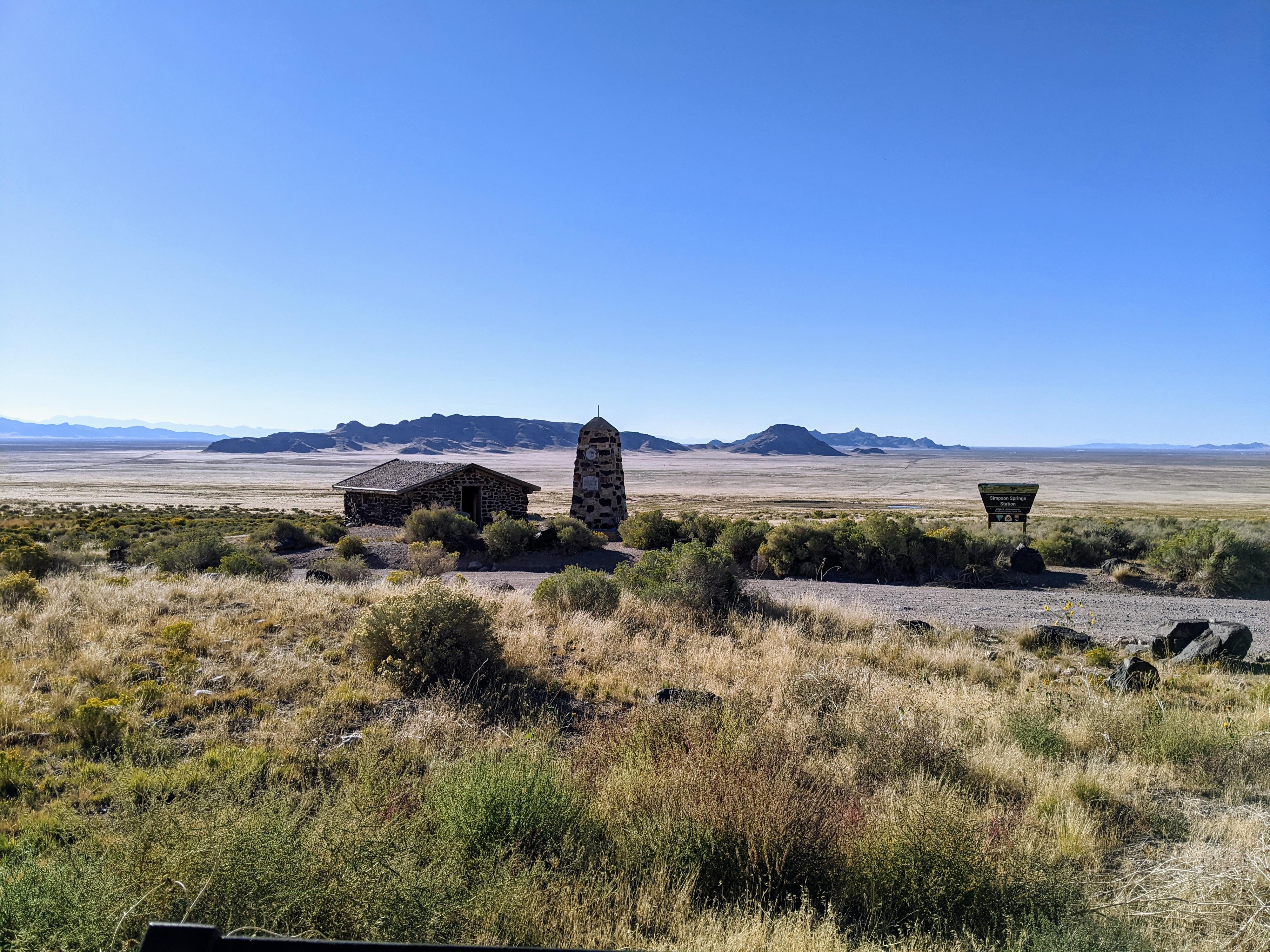
Simpsons Springs Station
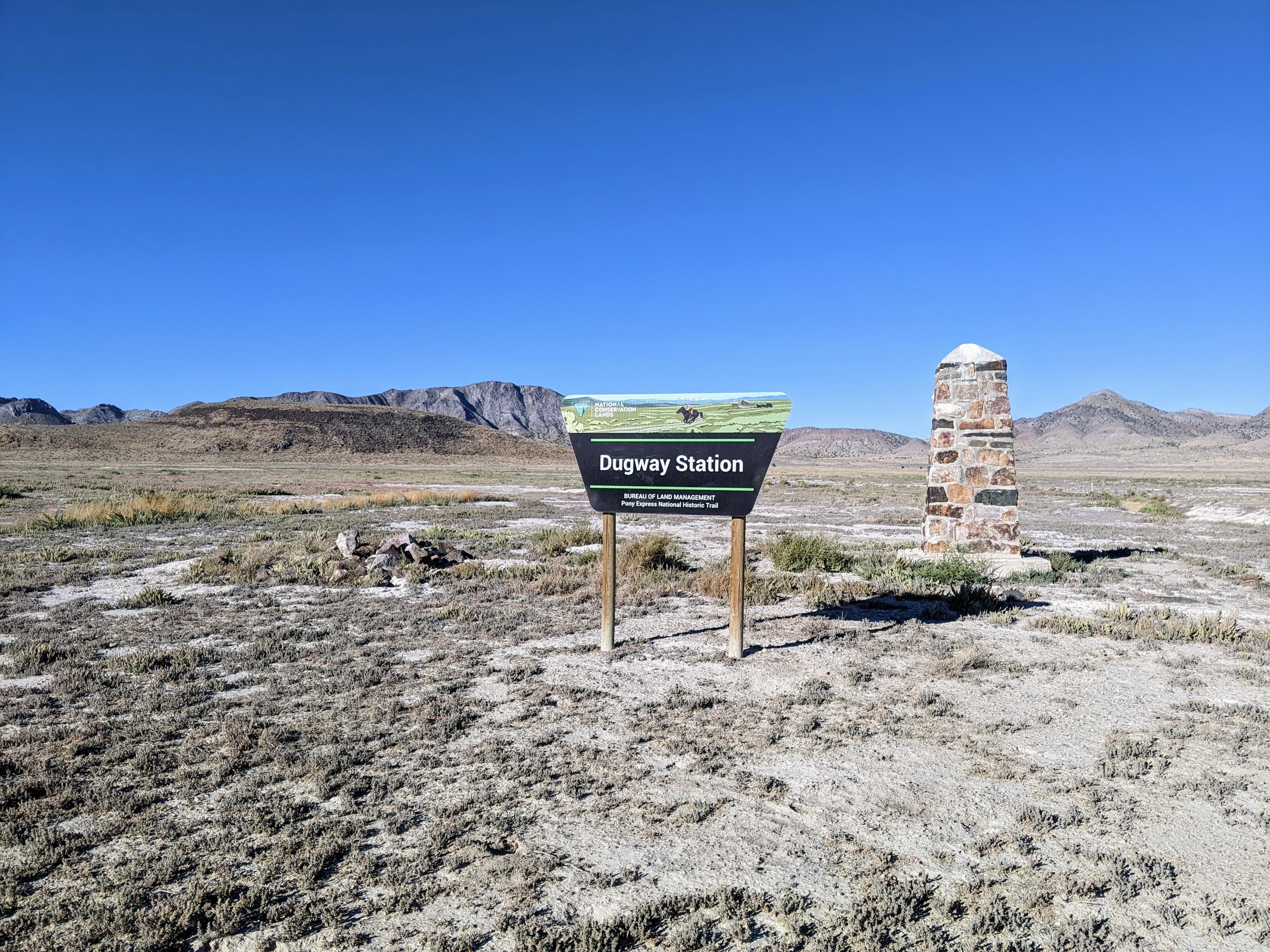
Dugway Station on the Pony Express Trail
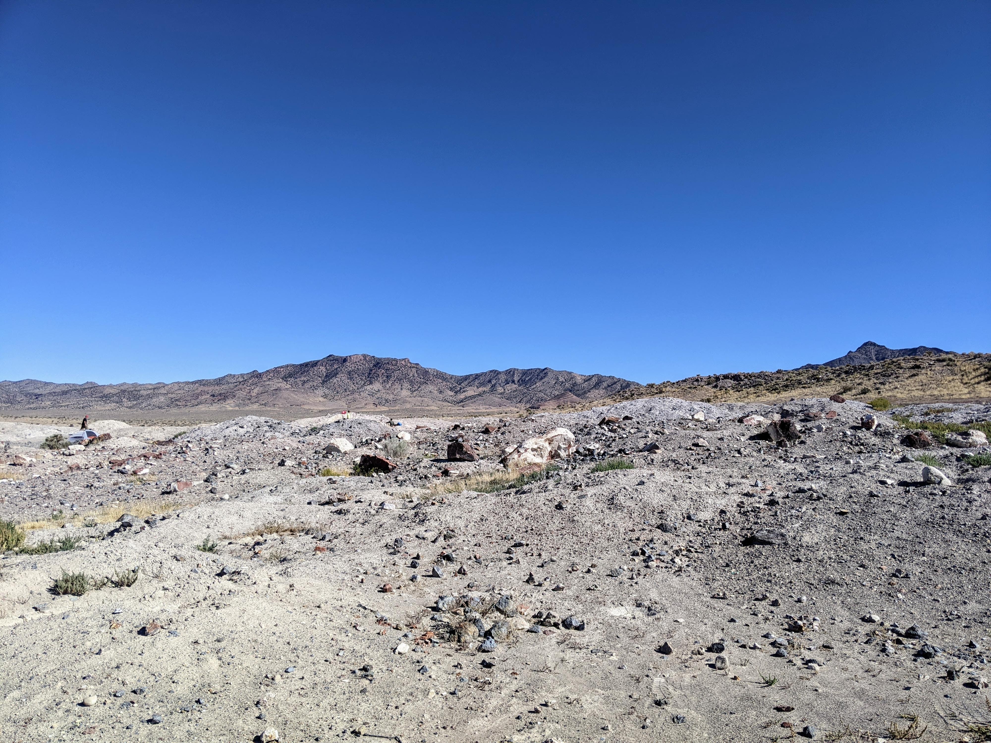
Dugway Geode Beds
Fish Springs Auto Tour
Wilson Health Springs Area
The view from Canyon Station
Photos
Maps
")
")
")
")
")
")
")
")
")
")
12T 378470E 4448063N
40°10'27"N 112°25'38"W
12T 378166E 4447090N
40°09'55"N 112°25'51"W
12T 377668E 4447098N
40°09'55"N 112°26'12"W
12T 376868E 4446458N
40°09'34"N 112°26'45"W
12T 366561E 4441688N
40°06'54"N 112°33'57"W
12T 365668E 4442246N
40°07'11"N 112°34'35"W
12T 365560E 4442116N
40°07'07"N 112°34'40"W
12T 362433E 4444400N
40°08'19"N 112°36'53"W
12T 362187E 4444322N
40°08'17"N 112°37'04"W
12T 347534E 4433671N
40°02'22"N 112°47'14"W
12S 338112E 4425015N
39°57'35"N 112°53'43"W
12S 326377E 4416889N
39°53'03"N 113°01'50"W
12S 325841E 4413971N
39°51'29"N 113°02'10"W
12S 317058E 4415839N
39°52'22"N 113°08'21"W
12S 317310E 4418198N
39°53'39"N 113°08'13"W
12S 315997E 4418573N
39°53'50"N 113°09'08"W
12S 305751E 4416693N
39°52'41"N 113°16'17"W
12S 294680E 4412698N
39°50'22"N 113°23'59"W
12S 293747E 4413668N
39°50'53"N 113°24'39"W
12S 293150E 4418483N
39°53'28"N 113°25'09"W
12S 293147E 4418375N
39°53'25"N 113°25'09"W
12S 292046E 4419203N
39°53'51"N 113°25'57"W
12S 292030E 4419910N
39°54'14"N 113°25'58"W
12S 292196E 4420216N
39°54'24"N 113°25'52"W
12S 281543E 4413519N
39°50'37"N 113°33'12"W
12S 268014E 4420145N
39°53'59"N 113°42'49"W
12S 262680E 4415705N
39°51'30"N 113°46'27"W
12T 260824E 4436431N
40°02'39"N 113°48'13"W
12T 257359E 4440170N
40°04'37"N 113°50'44"W