 Hiking
Blind Lake
Hiking
Blind Lake
Boulder Mountain
Overview
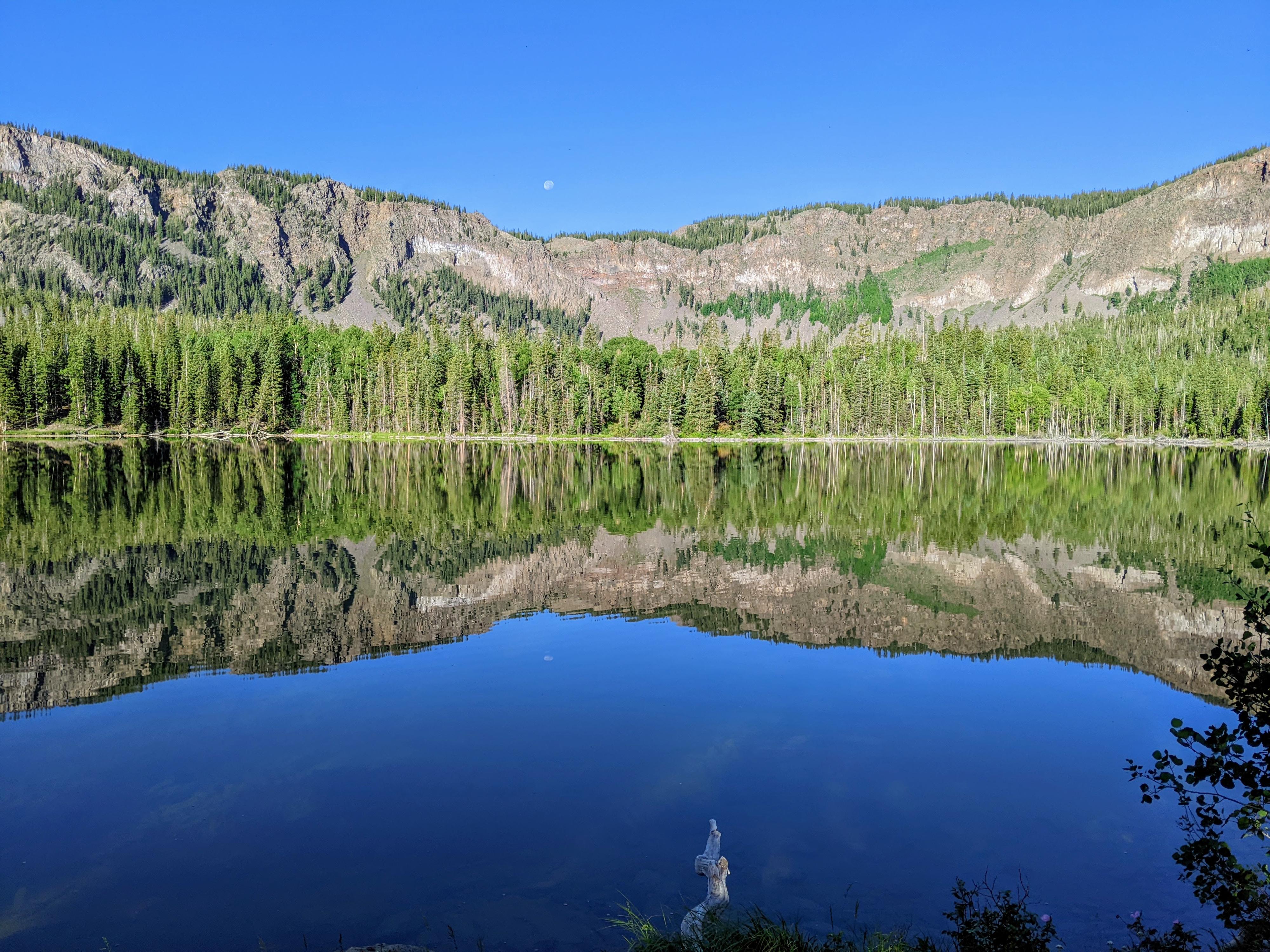
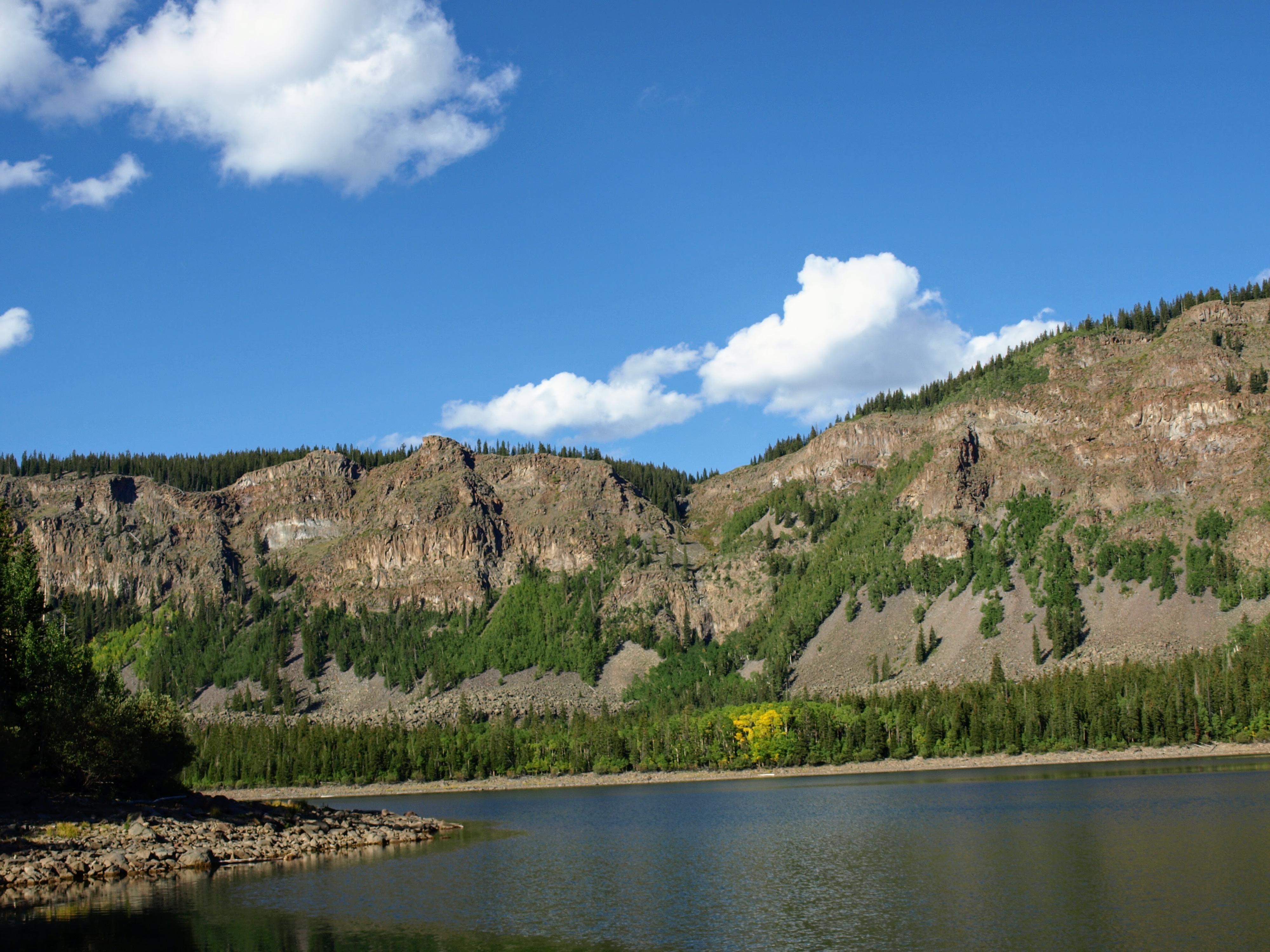
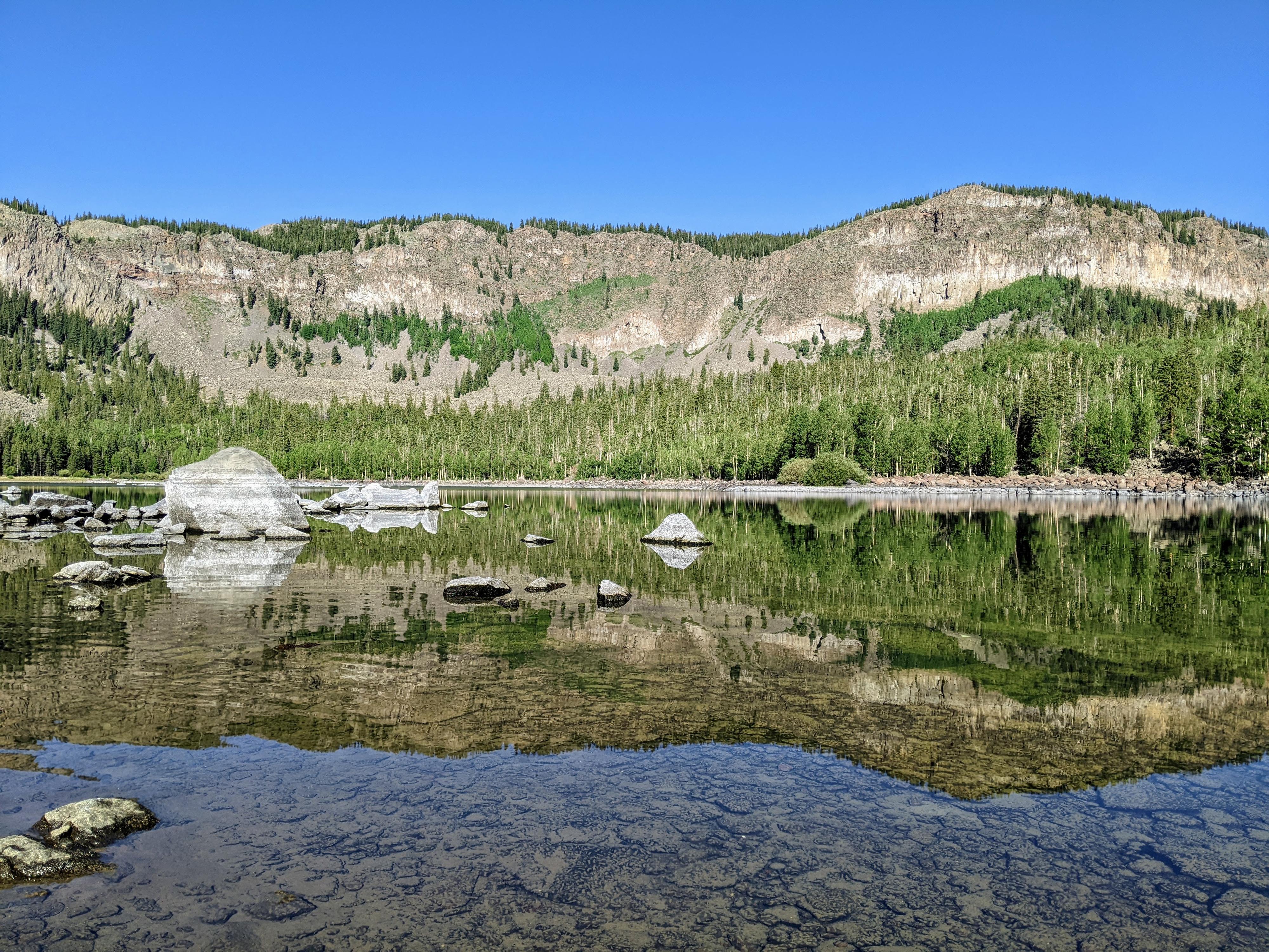
Blind Lake is the largest and deepest lake on Boulder Mountain. The lake is a reservoir created by the Forrest Service in the early 1900s, but there is not much evidence of that construction now. Today, Blind Lake is a spectacular high mountain lake tucked below the cliffs that make up the summit plateau of Boulder Mountain. The lake is a popular fishing destination and is said to contain some of the largest fish in the area. The deep turquoise waters are lovely.
The area also contains Pear Lake, Beaver Dam Reservoir, and Fish Creek Lake. The lakes are all close enough that it is easy to visit them all, and all have their charm. Fish Creek Lake was one of my personal favorites. Pear Lake, on my second trip during the summer of 2022, was not much more than a shallow wet field.
There are two common routes to the lakes. The first, requiring high clearance, is the shortest and reasonable for even fairly young children to reach Blind Lake. The second, suitable for low clearance vehicles, hikes up the very rough Fish Creek Road that is now mostly used by ATVs and hikers, though a modified pickup had made it up to the lake on my trip. I normally don’t enough hiking dirt roads, but the road up Fish Creek lightly trafficked, and I enjoyed hiking it. If you have two vehicles, or don’t mind walking the 2.5 mile section of road between the two trailheads, this makes a great loop hike or overnight backpack.
Getting There
From Torrey, UT, go east on UT-24 a short distance to the junction with UT-12. Go south on UT-12 toward Escalante for about 5 miles to mile post 118. The signed Blind Lake/North Slope Road leaves UT-12 here on the right.
Follow the North Slope road (Forest Road #179). There are many smaller side roads, but stay on the obvious main road. At about 5.8 miles from pavement, the Fish Creek Trailhead road goes off on the left. A short distance down the left side road is a large parking area before the Fish Creek Road becomes rough. Stay right to continue to the Blind Lake Trailhead. If in a low clearance vehicle, I recommend the Fish Creek route.
The road gets rougher between the Fish Creek Trailhead and the Blind Lake Trailhead. High clearance vehicles should not have a problem. It may stop low clearance at one or two rough patches. It is 2.5 miles from the Fish Creek Trailhead junction to the Blind Lake Trailhead. The trailhead is a small pullout and sign on the left side of the road on a bend.
Route Description
Blind Lake Trailhead (about 1 mile to Blind Lake, about 3.2 miles to Fish Creek Lake on way)
From the trailhead, the well-used trail climbs relatively steeply through aspen trees. It flattens out a bit but continues an upward climb for just over a mile. Just before the lake, an unsigned junction is reached. Both go around the lake. My recommendation is to go left (clockwise) around the late. Blind Lake is not visible until you reach it. The big reveal from dense forest to the lake and cliffs is dramatic!
As the trail follows the lakeshore on the north side, it is far enough back from the lake for only occasional views. On the east side, a junction to Fish Creek is reached. If you go left, towards Fish Creek Lake, the trail soon passes Pear Lake, and descends to Beaver Dam Reservoir. On the east side of the reservoir, follow the dirt road right (south). It soon ends at the short of Fish Creek Lake.
Fish Creek Trailhead (3.5 miles to Beaver Dam Reservoir/4.5 to Blind Lake one way)
From the Fish Creek Trailhead, follow the rough jeep road south. A side road soon leaves on the right down to the stream area below. Stay left.
About 0.6 miles from the trailhead, in Hickman Pasture, is another junction. Go right here. From the trailhead, it is about It is about 3.5 miles from the trailhead to where the road splits at Beaver Dam Reservoir. There is one stream crossing en route, but should always be easy enough to rock skip across.
At the road split when reaching Beaver Dam Reservoir, going left takes you to Fish Creek Lake at the road’s end in a 1/3 of a mile. There are some good primitive campsites in this area.
From Beaver Dam Reservoir, the trail to Pear and Blind Lakes crosses the stream that comes out of Beaver Dam Reservoir, follows the shoreline briefly, then climbs up to Pear Lake first and on the Blind Lake. It is about a mile one way from Beaver Dam Reservoir to Blind Lake. There are a few good camping spots around Pear Lake and on the south end of Blind Lake.
Photos
Maps

12S 464853E 4227456N
38°11'40"N 111°24'05"W
12S 464690E 4227222N
38°11'32"N 111°24'12"W
12S 464671E 4226524N
38°11'09"N 111°24'12"W
12S 463474E 4224884N
38°10'16"N 111°25'01"W
12S 462213E 4224230N
38°09'55"N 111°25'53"W
12S 462628E 4226900N
38°11'21"N 111°25'36"W
12S 461287E 4225177N
38°10'25"N 111°26'31"W
12S 460963E 4225747N
38°10'44"N 111°26'45"W