 Hiking
Lake Catherine
Hiking
Lake Catherine
Big Cottonwood Canyon
Overview
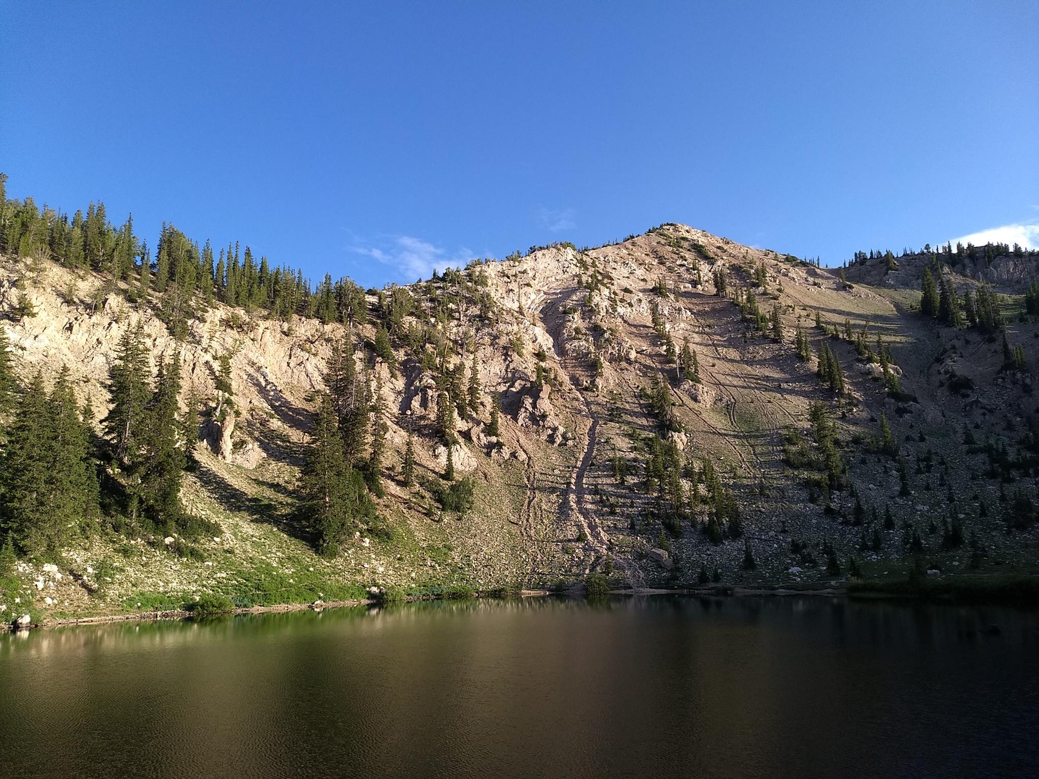
Tucked up under Sunset Peak, Pioneer Peak, and Mount Tuscarora, Lake Catherine is a popular hike to a very scenic lake. Unlike Lake Mary or Twin Lakes, this is an actual lake, not a reservoir. It is small but scenic and a great place to see summer wildflowers. On my trips, I have often seen moose and other wildlife along the trail as well.
Lake Catherine is one of my favorite hikes at Brighton. It visits several lakes en route and is easy enough most find it and enjoyable 1/2 day outing. Highly recommended, and family-friendly.
Getting There
Big Cottonwood Canyon is on the east side of the Salt Lake City Valley. Get there by taking I-215 to the east, taking exit 6 off the interstate and heading east.
Follow 6200 South which becomes Wasatch Blvd for 1.8 miles to the stop light and signs for Big Cottonwood Canyon.
Turn left at the light and reset your odometer.
Drive up Big Cottonwood Canyon 14 miles to the small community of Brighton. At the loop, go right, with Brighton Ski resort just ahead. Parking in the large parking lot near the main Brighton Ski Resort Building.
Route Description
To Lake Mary (1.25 miles one way)
From the Brighton parking lot, go just right (south) of the main Brighton building. A path leads up the slope, then heads right and passes between large logs to become a single narrower track. The single track switchbacks up the hillside, crossing under the ski lifts, before heading more south. After a short steep section is a junction to Dog Lake.
Dog Lake is a recommended side trip and takes only a few minutes. At the intersection to Clayton Peak, stay right for Dog Lake.
From the Dog Lake junction, it is a couple of minutes to the Lake Mary/Twin Lakes junction. Stay left here, passing under the Lake Mary Dam, then up to the lake proper.
To Lake Catherine (1 mile from Lake Mary)
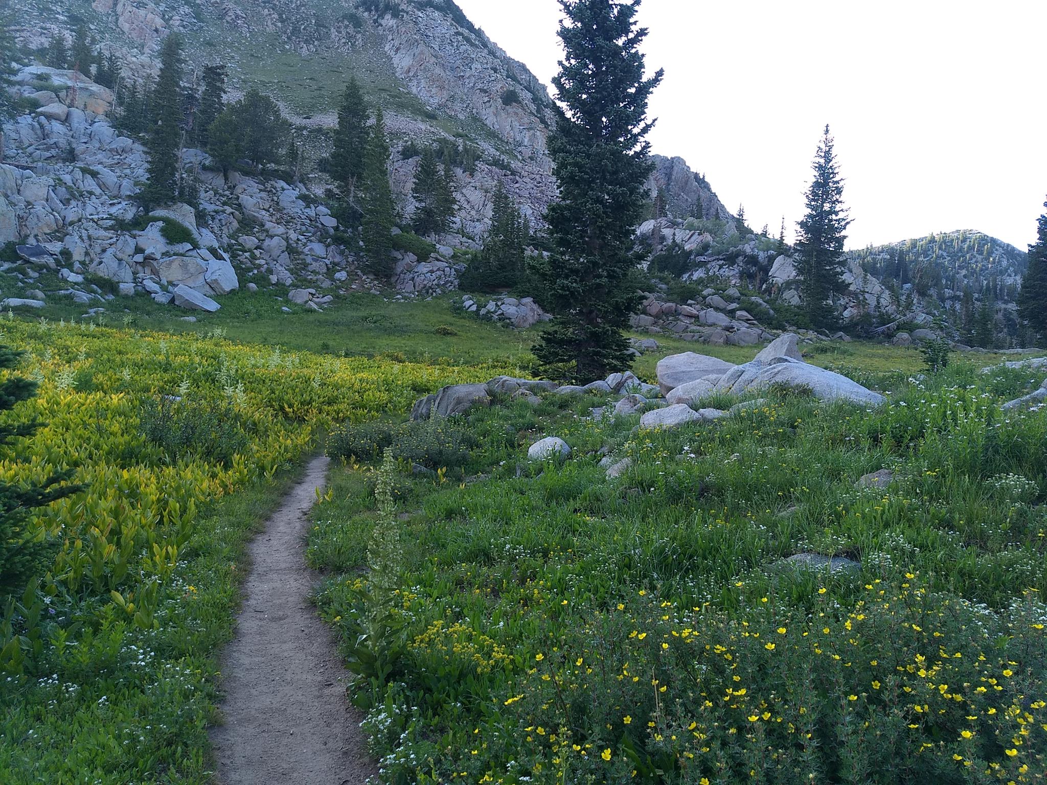
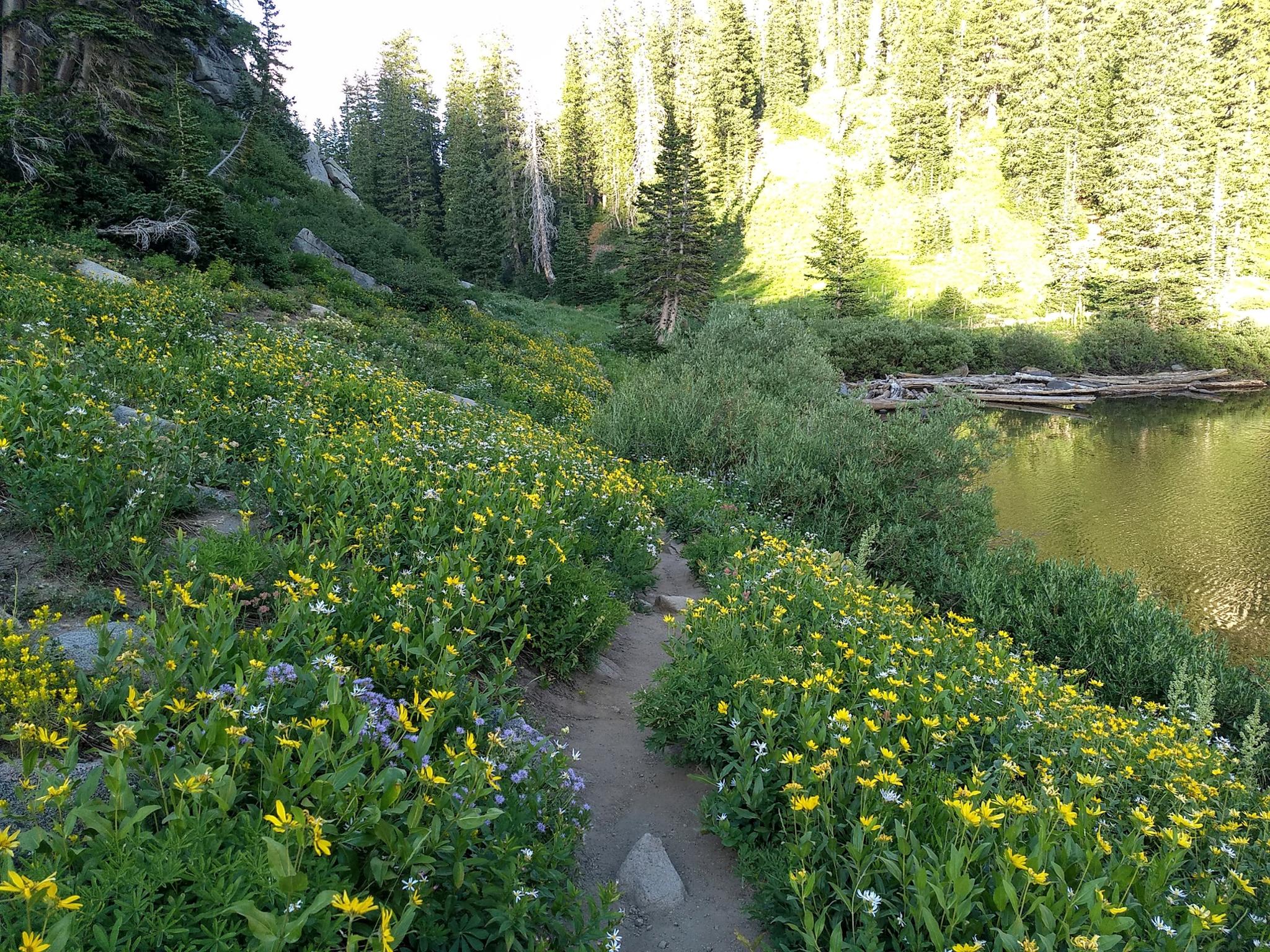
From Lake Mary, the trail follows the shoreline south, then begins climbing. You can see Lake Martha below as the trail climbs, but it is not directly along the trail.
Past Lake Martha, the trail continues to climb steeply, leaves the trees, and the headwall of Catherine Pass comes into view. At the junction, go left on the somewhat lesser-used trail to Lake Catherine.
Return the same way, or continue up the main trail to Catherine Pass for excellent views of Brighton and surrounding ridges.
Maps

12T 450565E 4494340N
40°35'54"N 111°35'03"W
12T 450661E 4494222N
40°35'50"N 111°34'59"W
12T 450580E 4493357N
40°35'22"N 111°35'02"W
12T 450499E 4493365N
40°35'23"N 111°35'06"W
12T 449904E 4492595N
40°34'57"N 111°35'31"W
12T 449766E 4492456N
40°34'53"N 111°35'37"W