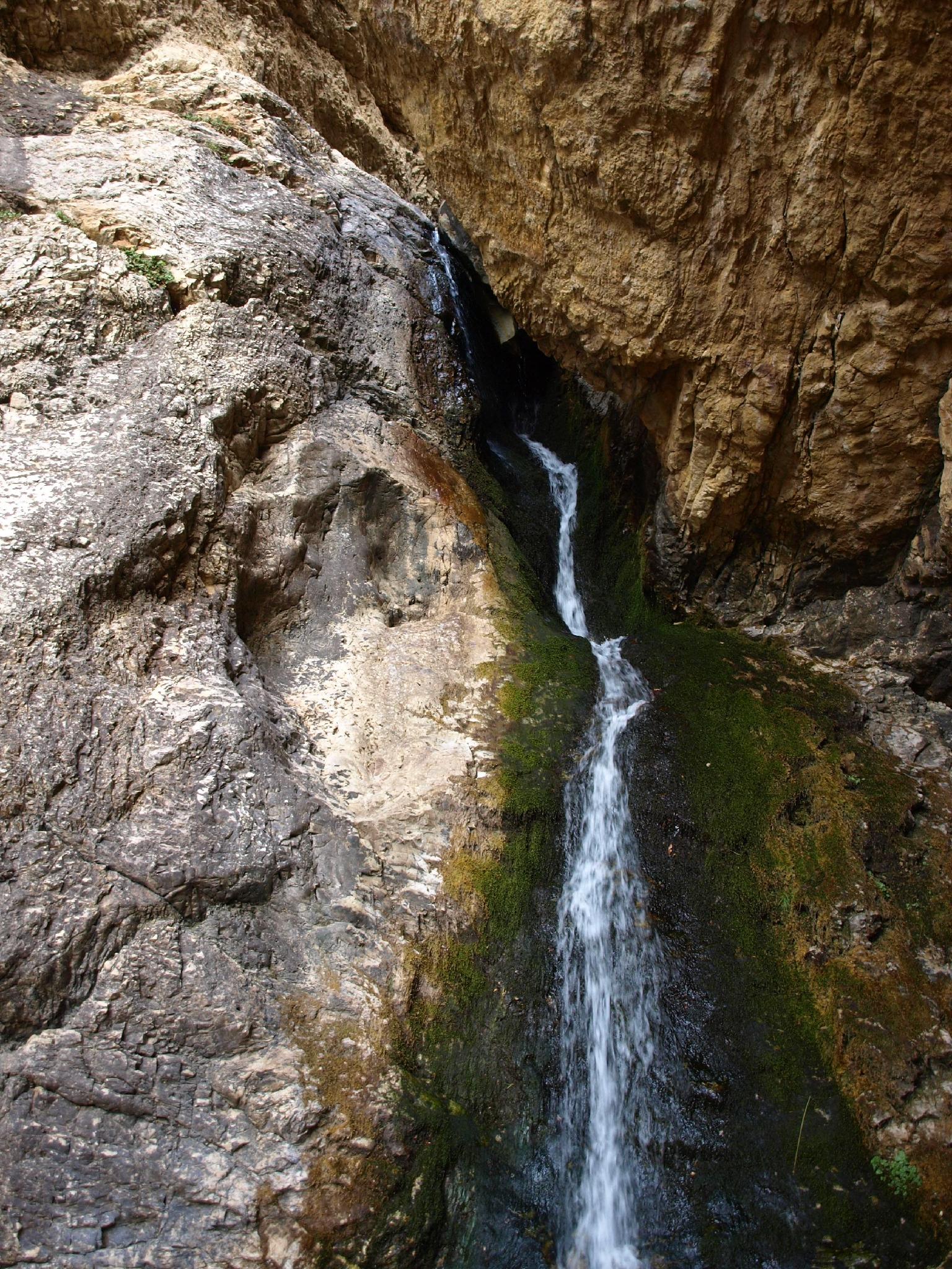
Hidden Falls |

Big Cottonwood Canyon

Hiking Hidden Falls - Big Cottonwood Canyon Hiking Hidden Falls

Big Cottonwood Canyon

Overview

RATING: Easy Hike
MAPS: MOUNT AIRE, UT

Tue

Sunny. High near 55, with temperatures falling to around 52 in the afternoon. West southwest wind around 6 mph.

55 | 38

Wed

Sunny, with a high near 56. Southwest wind 5 to 10 mph.

56 | 38

Thu

A chance of rain after noon. Mostly sunny, with a high near 56. Chance of precipitation is 30%.

56 | 40

Fri

A chance of rain after noon. Mostly sunny, with a high near 56.

56 | 40

Sat

Rain and snow likely. Partly sunny, with a high near 55.

55 | 41

View Full Weather Details
SEASON: Spring, Summer, Fall
WATER: Flowing

Tue

Sunny. High near 55, with temperatures falling to around 52 in the afternoon. West southwest wind around 6 mph.

55 | 38

Wed

Sunny, with a high near 56. Southwest wind 5 to 10 mph.

56 | 38

Thu

A chance of rain after noon. Mostly sunny, with a high near 56. Chance of precipitation is 30%.

56 | 40

Fri

A chance of rain after noon. Mostly sunny, with a high near 56.

56 | 40

Sat

Rain and snow likely. Partly sunny, with a high near 55.

55 | 41

View Full Weather Details
Old mine tunnel at the base of the falls.

Old mine tunnel at the base of the falls.

The aptly named Hidden Falls, though close to the hustle and bustle of the Big Cottonwood Canyon road and Lake Blanche trailhead, feels off the beaten path and infrequently visited. The hike to the falls is short, making it more of a roadside attraction than an actual hike.

In my opinion, this is an often overlooked (or unknown) gem. The cool mist from the falls makes this the perfect family destination on a hot summer day. The short distance is rocky enough that small children will likely enjoy the challenge.

The lovely Hidden Falls

The lovely Hidden Falls

Ruby and Ryan taking in the views.

Ruby and Ryan taking in the views.

Getting There

Note: The trailhead parking area is fairly small and fills up early on busy summer weekends and even weekdays. Carpooling highly recommended, and be prepared to park along the main Big Cottonwood Road and walk a short distance if you get a late start.

Big Cottonwood Canyon is on the east side of the Salt Lake City Valley. Get there by taking I-215 to the east, taking exit 6 off the interstate and heading east.

Follow 6200 South which becomes Wasatch Blvd for 1.8 miles to the stop light and signs for Big Cottonwood Canyon.

Turn left at the light and reset your odometer.

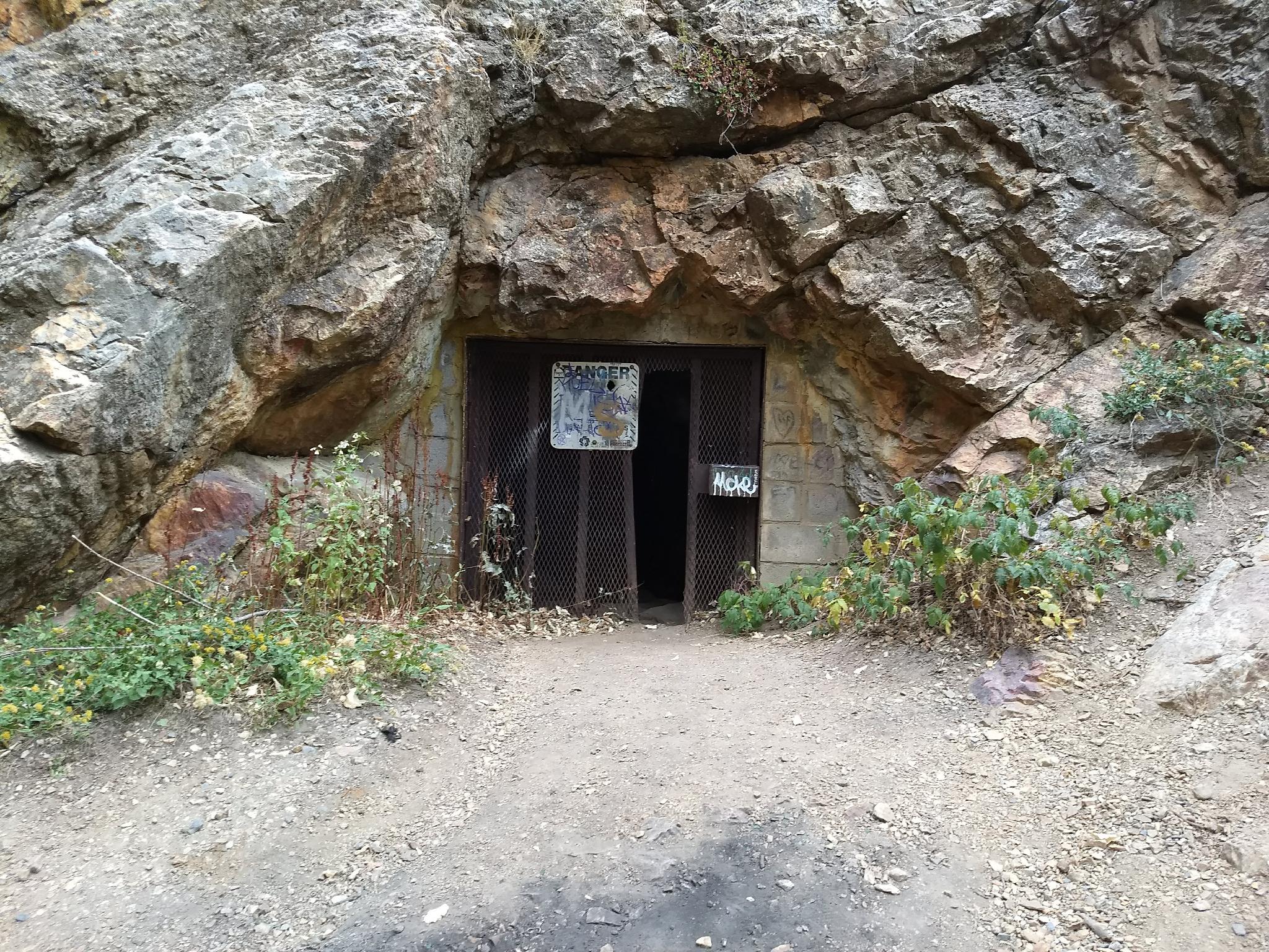
Drive up Big Cottonwood Canyon. At 4.7 miles, just at the start of the S-Curve, the trailhead is on the right side of the road. Just after this is another smaller parking area. You want this second, smaller parking area. It is the Hidden Falls/Mill B Trailhead.

The falls.

The falls.

Route

From the parking area, the trail leaves on the north side off the lot. There is a sign here with a trail map. The trail quickly crosses the Big Cottonwood Canyon road. This is a busy road, and the crossing is on a curve. Use great caution when crossing!

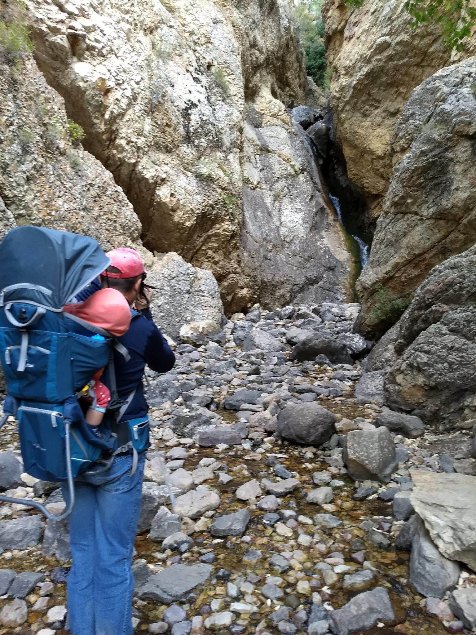
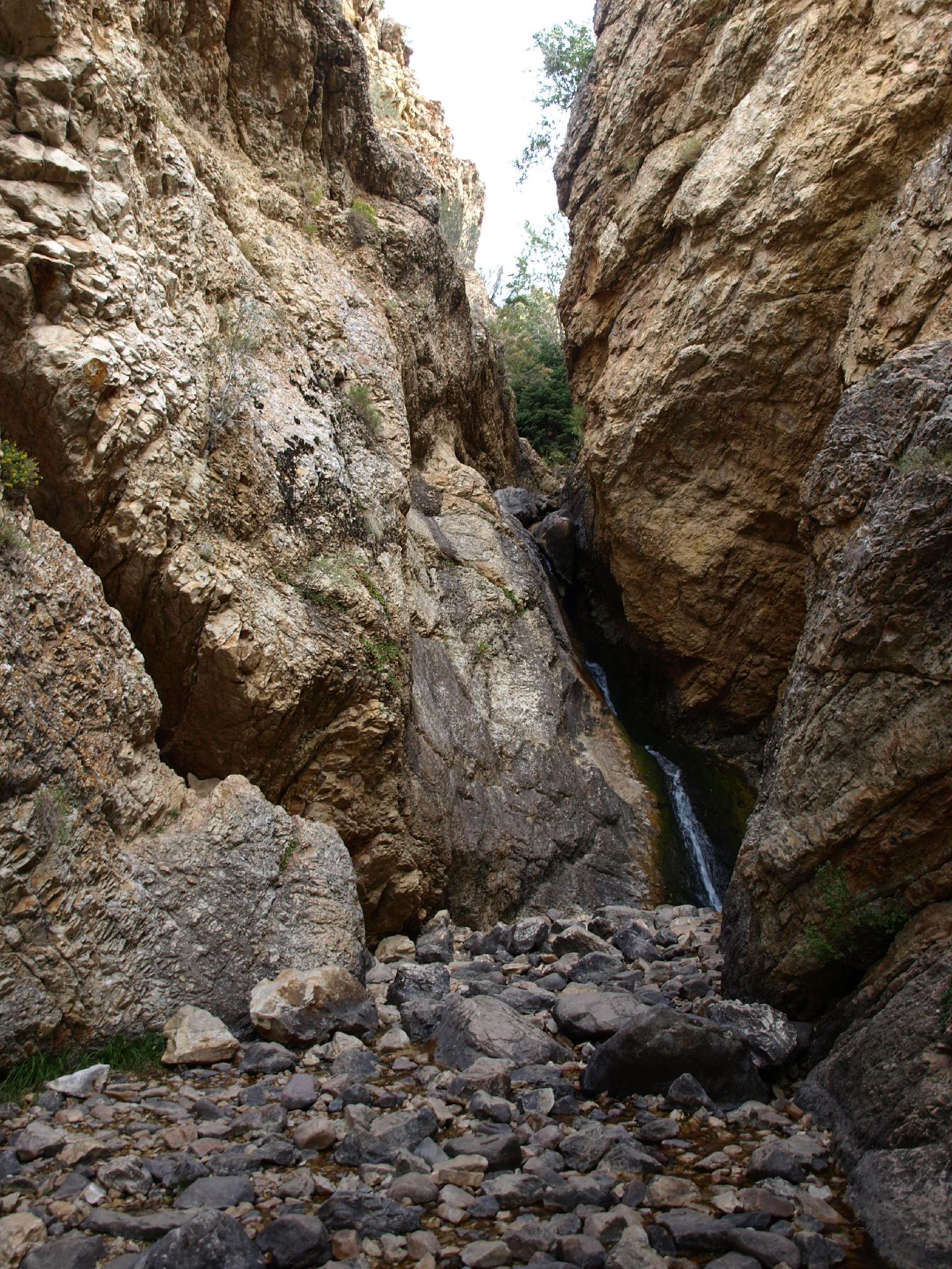
Once across, the main trail goes right and begins climbing switchbacks up Mill B Fork. Stay left, on a well used social path in (or very near) the stream bed. The trail reaches the base of the falls less than 5 minutes from the trailhead.

The cliff face on the west side, just before the falls, is The Pile climbing area, hence the bolts and chalk visible.

Note: An old mine is on the east side of the stream near the base of the falls. It is gated but has been somewhat broken into. Be mindful of small children, as they could potentially squeeze in between the bars. The tunnel, apparently, goes in a short distance then merely ends. I could not find an official name or information on the mine.

Maps

Route / 0.09 miles / Elevation Range 6,231 - 6,315 ft.
Printable Maps:
Trailhead

12T 438765mE 4498451mN

N40° 38' 05" W111° 43' 27"

Hidden Falls

12T 438780mE 4498512mN

N40° 38' 07" W111° 43' 26"

Comments

Want to make a comment? Login and let yourself be heard.