 Canyoneering
Hidden Canyon From the Top
Canyoneering
Hidden Canyon From the Top
Zion East Side
Overview
Is Hidden Canyon a hidden gem often overlooked by Zion canyoneers? No, no it is not. Hidden Canyon had been far at the bottom of my list of Zion canyons to do. I had never known anyone personally that had done it, and so doubted it was very good. A fall weekend in Zion left me permit less, with very few options. Hidden Canyon, not surprisingly, had permits available. Given a scarcity of permits for other canyons, Diane and I decided to visits Hidden Canyons hidden depths.
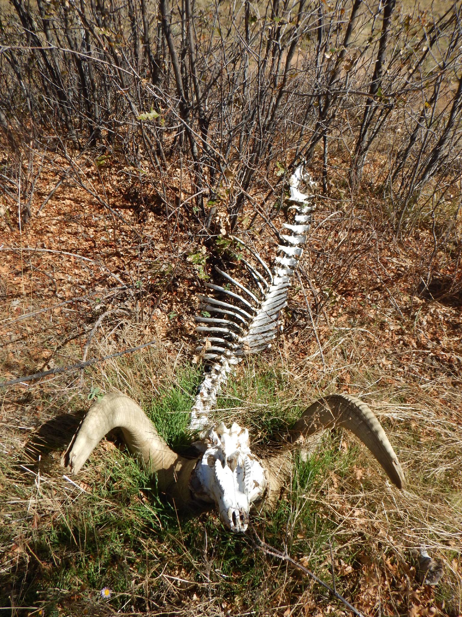
Well, the best thing about Hidden Canyon, in my harsh opinion, is the approach hike and then only if you do the side trip to Cable Mountain. Hidden Canyon itself is a straightforward fault type canyon that runs almost perfectly straight on its way to Weeping Rock. The upper reaches are steep, rocky, and offer quite a few opportunities for either short rappels or down climbs. Intrepid hikers can scramble and work their way quite a ways up Hidden Canyon from the bottom, you're likely to see people the further down you get.
There are a few interesting and pretty spots, but visiting from the bottom would be my recommendation. The canyon does offer a lot of natural anchor practice, and will generally not hold much water so is doable in cooler times of the year without a wetsuit.
Getting There
This route (as described) requires a car shuttle. The exit is the Weeping Rock shuttle stop in the main Zion Canyon. Leave a car at the visitor center as the exit vehicle after riding the shuttle.
The trailhead is off the North Fork road, which starts 2.2 miles east of the east entrance of Zion National Park on highway 9. It is signed.
Route Description
Approach (1-1.5 hours)
From the trailhead, follow the trail about 5-10 minutes or so to a major junction. Right goes down to the main Zion Canyon. Go left instead, following the trail toward Stave Spring and Cable Mountain. 5 minutes past the first junction is a second junction. Go right here, toward Deer Trap Mountain / Cable Mountain.
About 1.5 miles from the trailhead the Cable Mountain Trail goes off on the right. Stay left, and pay attention from here. Navigation isn't difficult, but a few have missed Hidden Canyon and ended up in Grotto Canyon. You don't want to end up in Grotto unless you brought enough rope for BIG rappels.
From the Cable Mountain junction, the trail crosses a flat area, and a shallow canyon takes off on the right. Stay on the trail as it rounds a knob on the left, and a wider/open drainage is on the right side of the trail. This is the upper Hidden Canyon, and has a small cliff band on the opposite side you are on.
Leave the Deer Trap Trail and descend into upper Hidden Canyon. Follow the wide/shallow drainage down until parallel with the end of the cliff band. Go west (left looking down canyon) for 1-2 minutes up and out of the wide drainage to the steep and much deeper main Hidden Canyon, and is easy to spot. Follow social trails down steep dirt to a large tree that marks the first rappel in the canyon.
Canyon
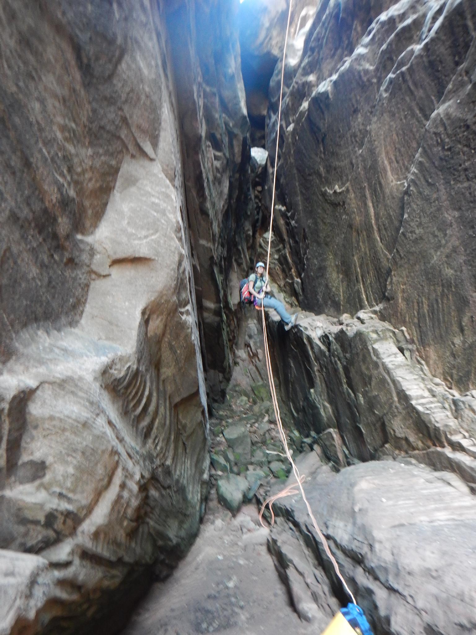
Rappel 1 - The first rappel is about 40 m ( 132 ft. ) all the way to the canyon bottom, but can be done as a 30 m ( 99 ft. ) rappel and bit of easy downclimbing. This rappel is followed quickly by a short drop most will downclimb, but some may wish to rappel.
Continuing down the canyon is a bit of scrambling and boulder hopping until the canyon drops at a large boulder pile. Downclimb or do a short rappel into the boulder pile. A single bolt here provides an anchor for a 10 m ( 33 ft. ) rappel behind the boulder your standing on. Interesting place!
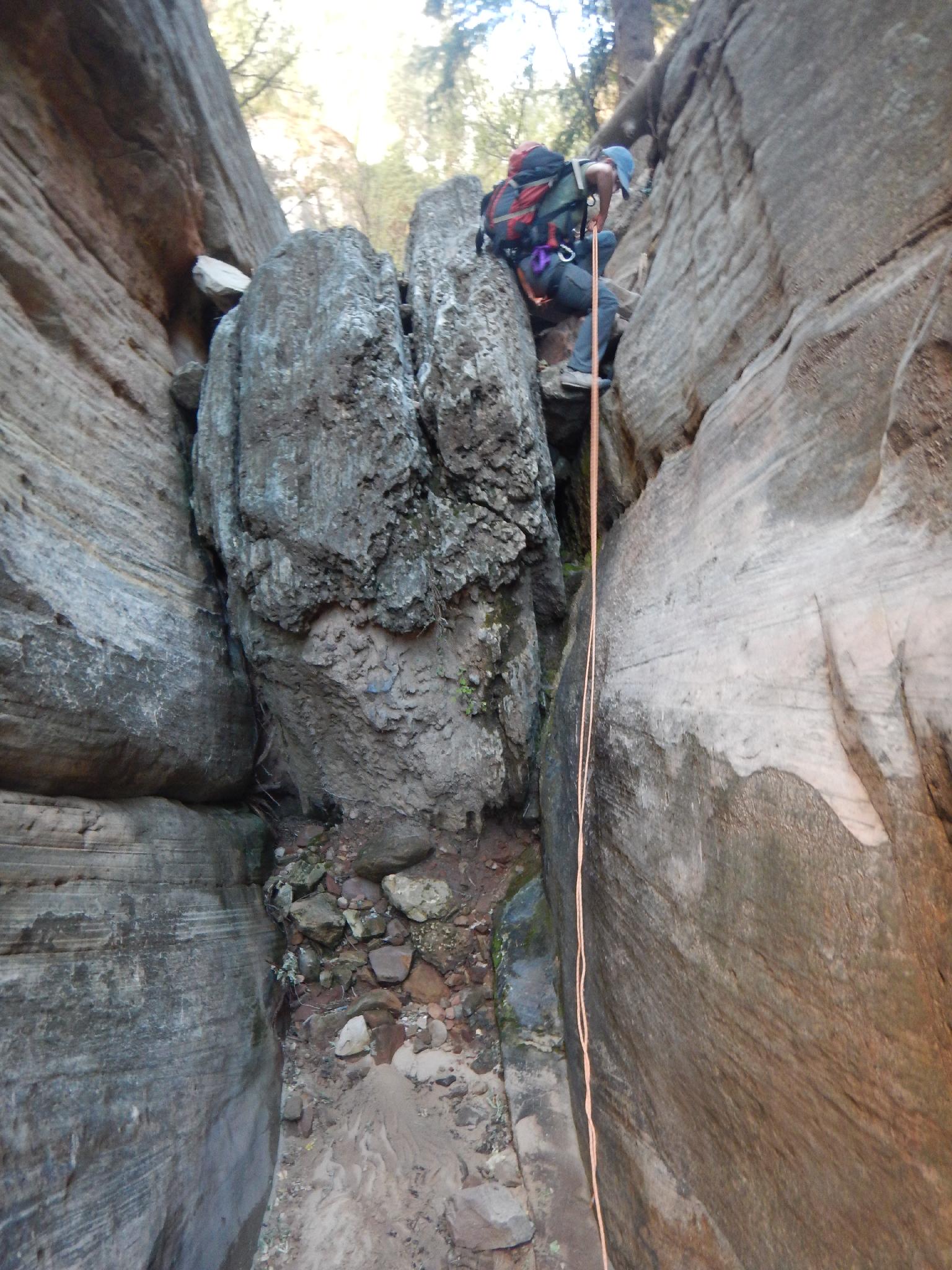
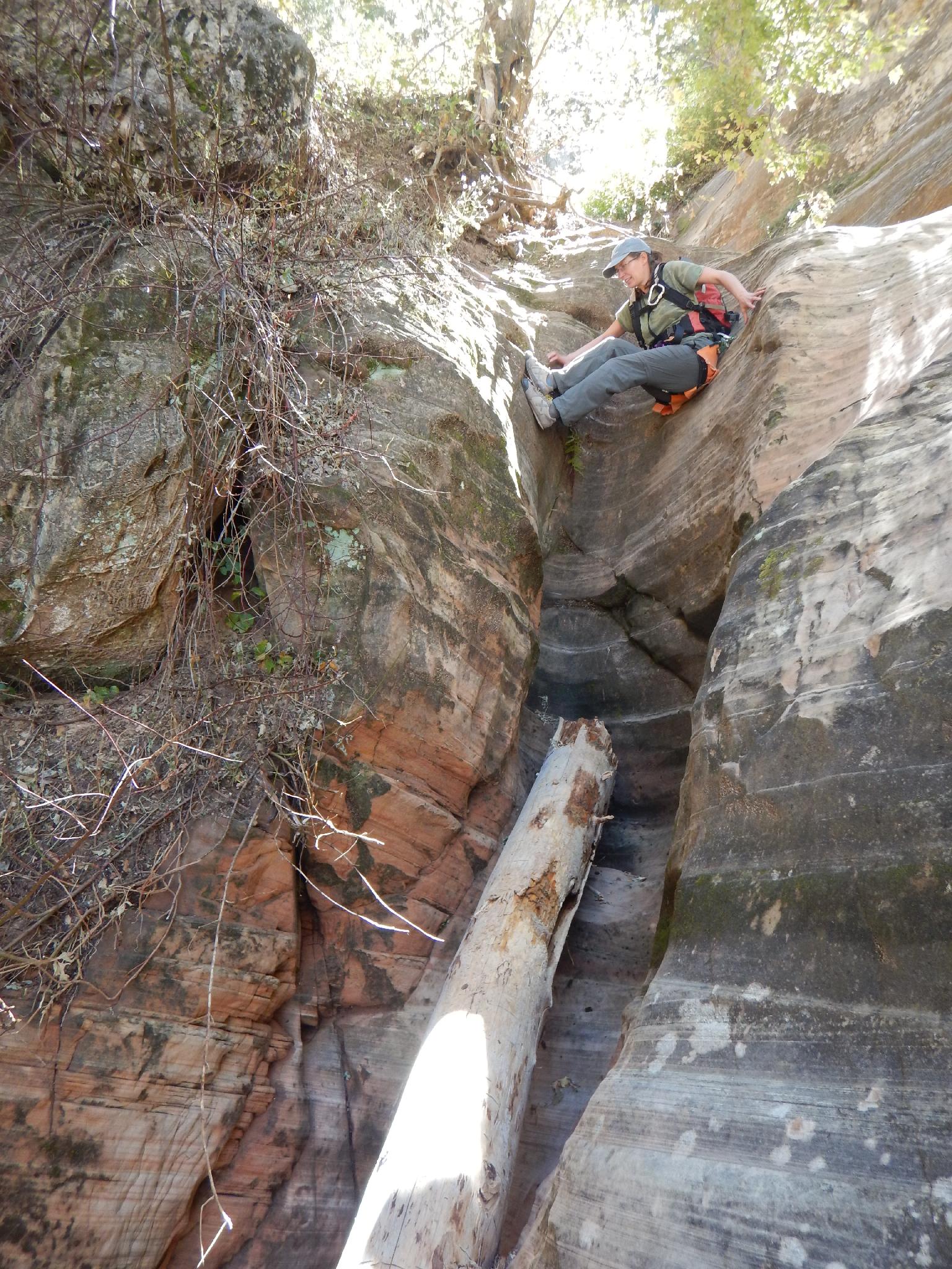
Rappel 3 - A few more downclimbs leads to another short (10 m ( 33 ft. )) rappel near a huge log. Be mindful of rope pull here.
Rappel 4 - At the bottom of rappel 3 is the immediate rappel 4. This is about 20 m ( 66 ft. ).
Rappel 5 - About 15 m ( 50 ft. ).
Rappel 6 - About 20 m ( 66 ft. ).
Rappel 7 - A group up climbed and down climbed this when we visited, but I would recommend walking the left side (looking down canyon) to a large tree and making a 20 m ( 66 ft. ) rappel down the vertical wall. This is much safer! There is rumored to be an arch if you continue along the trail past the tree, but we missed it on our trip.
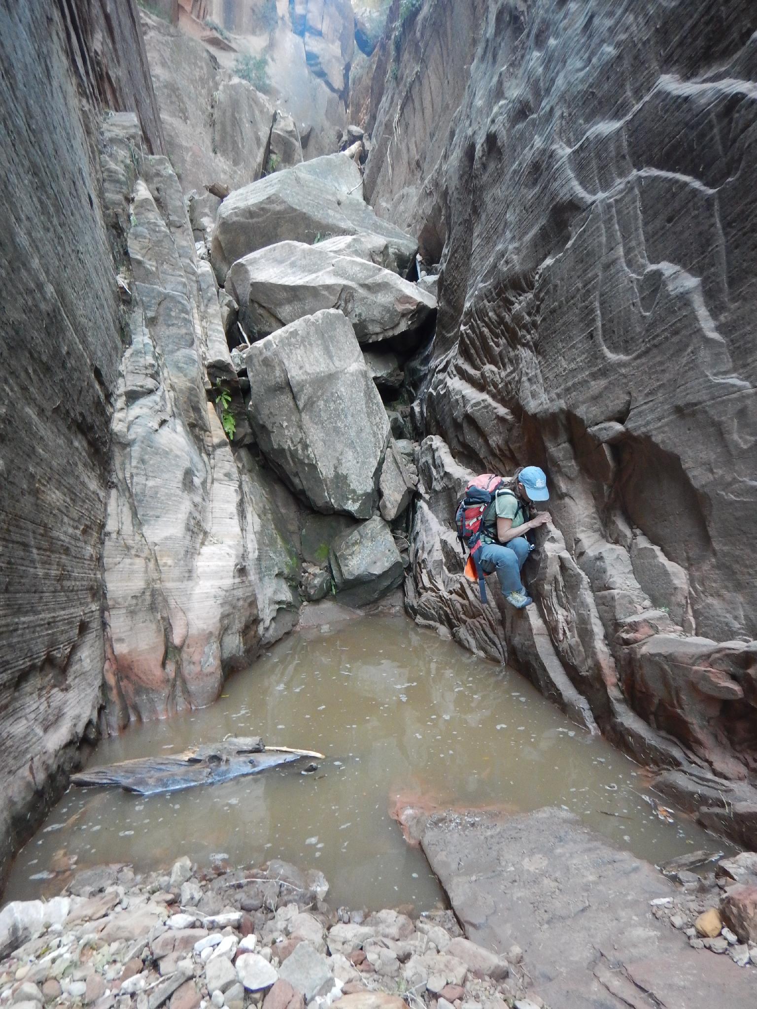
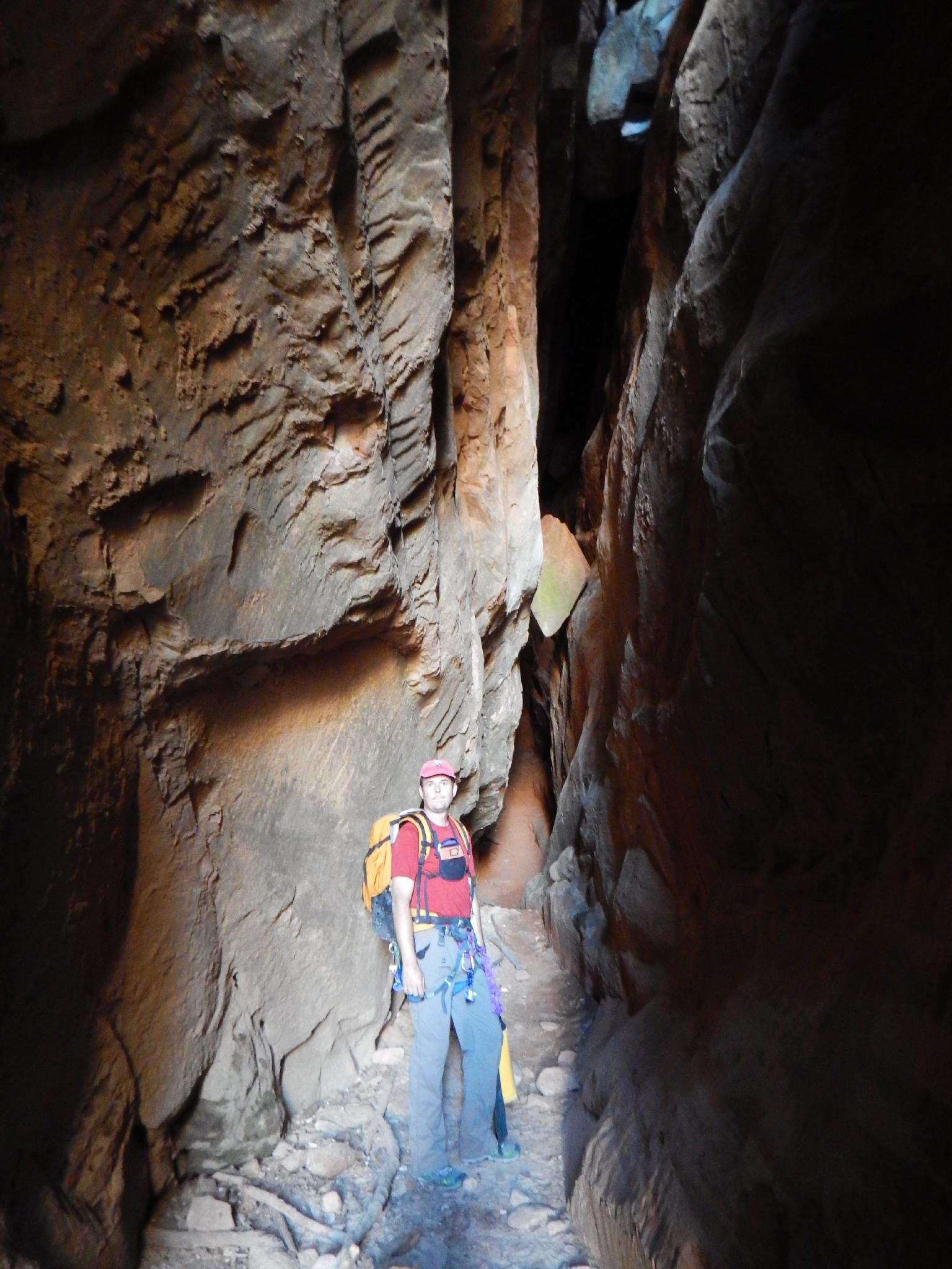
The rappels are over, but the obstacles are not. Continue down the canyon, staying in the canyon bottom. Many small obstacles are downclimbed or passed on ledges. Fun.
Exit (1 hour)
When an arch is visible on the left at ground level, you are almost to the end of Hidden. At the end of the canyon, follow the park trail and carved steps on the right. The park trail traverses over to the Observation Point trail. Follow the Observation Point trail down to the Weeping Rock shuttle stop.
Photos
Maps


12S 331650E 4126274N
37°16'04"N 112°53'55"W
12S 330830E 4126091N
37°15'58"N 112°54'28"W
12S 330964E 4125650N
37°15'44"N 112°54'22"W
12S 329994E 4124625N
37°15'10"N 112°55'01"W
12S 328905E 4123708N
37°14'39"N 112°55'44"W
12S 328588E 4123911N
37°14'46"N 112°55'58"W
12S 328129E 4126681N
37°16'15"N 112°56'18"W