 Hiking
Bowns Point
Hiking
Bowns Point
Boulder Mountain
Overview
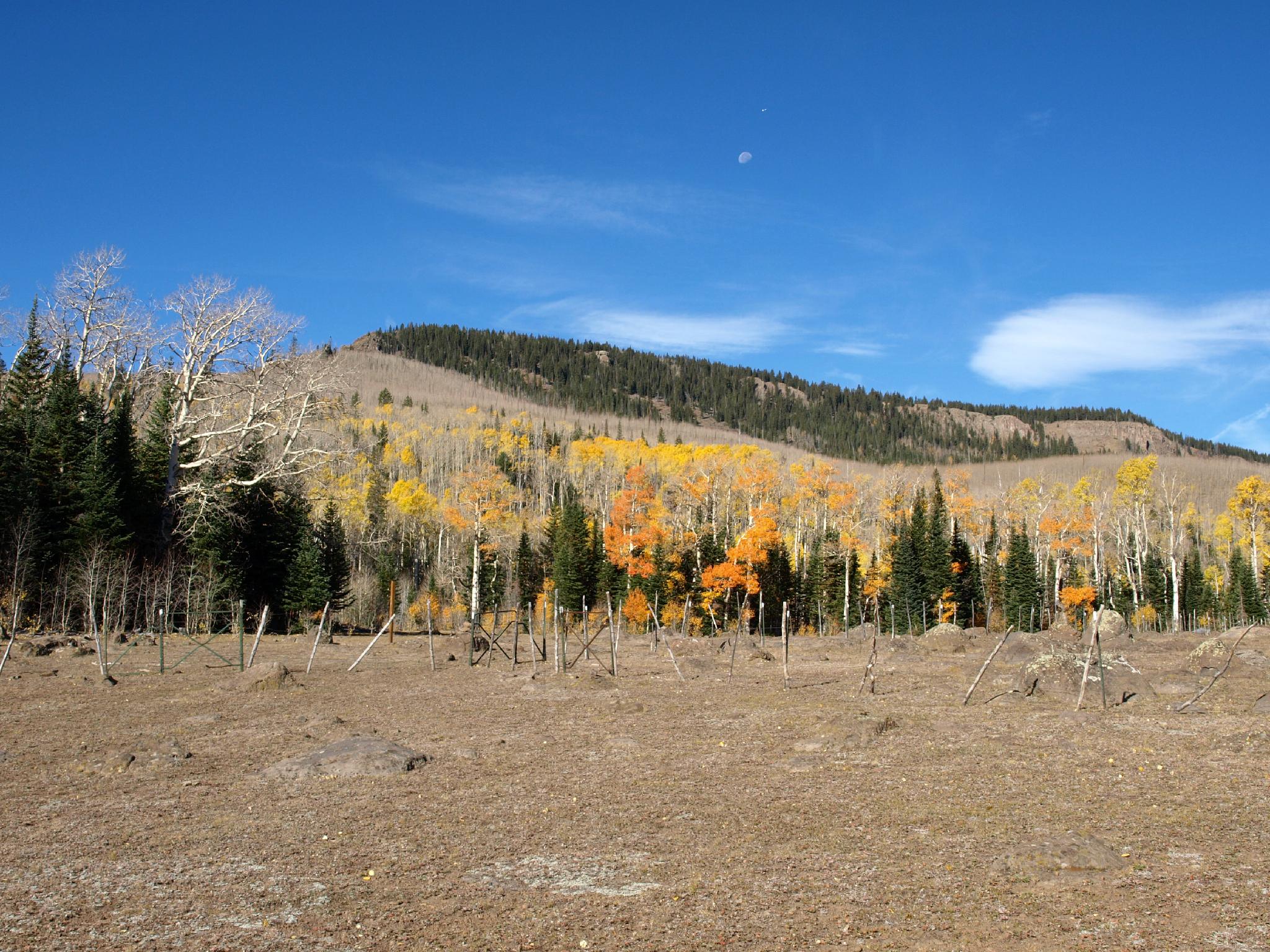
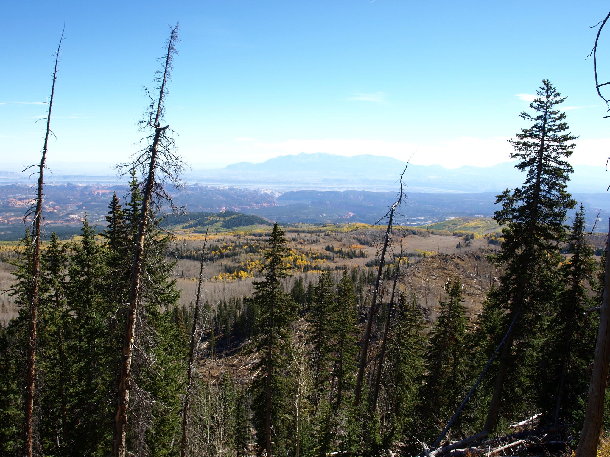
For the desert aficionado, or enthusiastic leaf peeper, Bowns Point is a must do hike. The point, on the eastern edge of Boulder Mountain, has panoramic views of Capitol Reef National Park, the Henry Mountains, Grand Staircase Escalante National Monument, and the Kaiparowits Plateau. Time your visit for the fall, when the leaves are changing, and you will be rewarded with some of the best colors in Utah.
The point was named after the Bowns family. The Bowns family originally ran cattle in Wayne County but was one of the early families to change to sheep. They developed the Sandy Ranch at Notom and ran an estimated 2500-3000 sheep a year in the county. Bowns Reservoir is another reminder of the family name, and the impact they had on the county. I am not sure if they build the original trail to the point, but my hat is off to whoever did. The trail steep, rocky, and would require an enormous amount of work to build.
Getting There
The trailhead is reached from UT-12 at milepost 100.9, where a rough dirt side road goes off to the west (signed Scout Lake). This is about 21 miles south of Torrey, or about 14 miles north of Boulder.
About 0.5 miles from UT-12 is a junction. Go right, toward Scout Lake. Continue another 0.8 miles (1.3 from UT-12) to a small sign indicating Bowns Point Trail in the middle of a large open grassy area.
Route Description
The first part of the trail is a bit tricky to find. From the trailhead, head southwest across the open area, aiming for a rock cairn. There are a handful of cairns beyond, but keep an eye out for them. Just a few minutes from the trailhead, a fence and gate are reached. Cross the gate, and again keep a sharp eye out for cairns. A few cairns after the gate and the trail joins the more well-traveled Great Western Trail. At this point, the path becomes well defined and easy to follow.
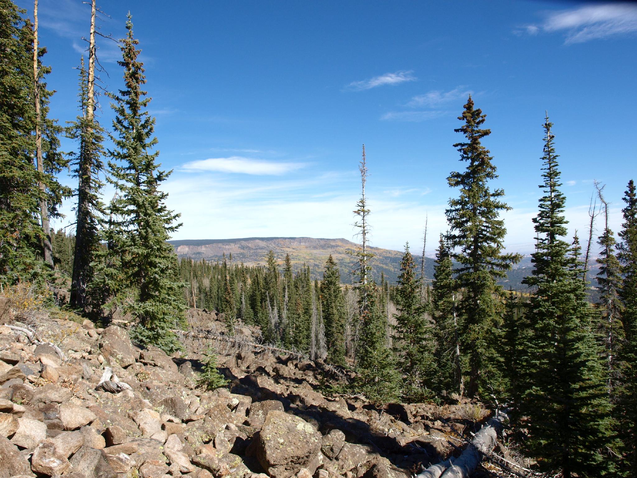
The trail begins gently but quickly climbs through a thick grove of aspen trees. If timing is right in the fall, this will be a very colorful section! After the aspen, a short flatter section of trail is an excellent chance to catch your breath and take in the views.
The trail quickly, and steeply begins climbing again to Bowns Point. A couple of switchbacks help a little here, but this final half of the hike to the point is steep! A gate and fence mark the top. Once at the gate, walk a little east to the edge.
Views:
To the north is the flat-topped Thousand Lake Mountain.
In the far northeast, you can see the San Rafael Swell in the distance.
To the east is Capitol Reef National Park, with the Henry Mountains prominent in the background.
To the southeast is the vast and colorful Grand Staircase Escalante National Monument, with the Kaiparowits Plateau making up the southern part of the view.
In the distance to the southeast is Navajo Mountain.
In the fall, the slopes below Bowns Point will be ablaze in fall color.
Maps

12S 470070E 4211916N
38°03'16"N 111°20'28"W
12S 469912E 4211754N
38°03'11"N 111°20'35"W
12S 468673E 4211604N
38°03'06"N 111°21'25"W
12S 468653E 4211579N
38°03'05"N 111°21'26"W