 Roadside Attraction
Mossy Cave
Roadside Attraction
Mossy Cave
Bryce Canyon National Park
Overview
Mossy Cave and the waterfall near the cave makes an excellent roadside attraction on the east side of Bryce Canyon National Park. It is popular. A short hike leads to a photographer's paradise. The ease and length of this outing make it a good family friendly stop to stretch legs while passing near Bryce.
"Bringing Water to the Desert
By 1874 members of the Church of Jesus Christ of Latter Day Saints had begun to settle in the Paria Valley east of Bryce Canyon. Arid conditions gave rise to a plan to divert water 10 miles (16 km) from the East Fork of the Sevier River to the cliffs of Bryce Canyon and down into the valley. Approximately 40 men, digging with hand tools, began work in 1889. On May 23, 1892, their work was completed, and water from the plateau flowed down through Water Canyon. The canal would become known as the Tropic Ditch, taking its name from the new town whose future this precious water secured.
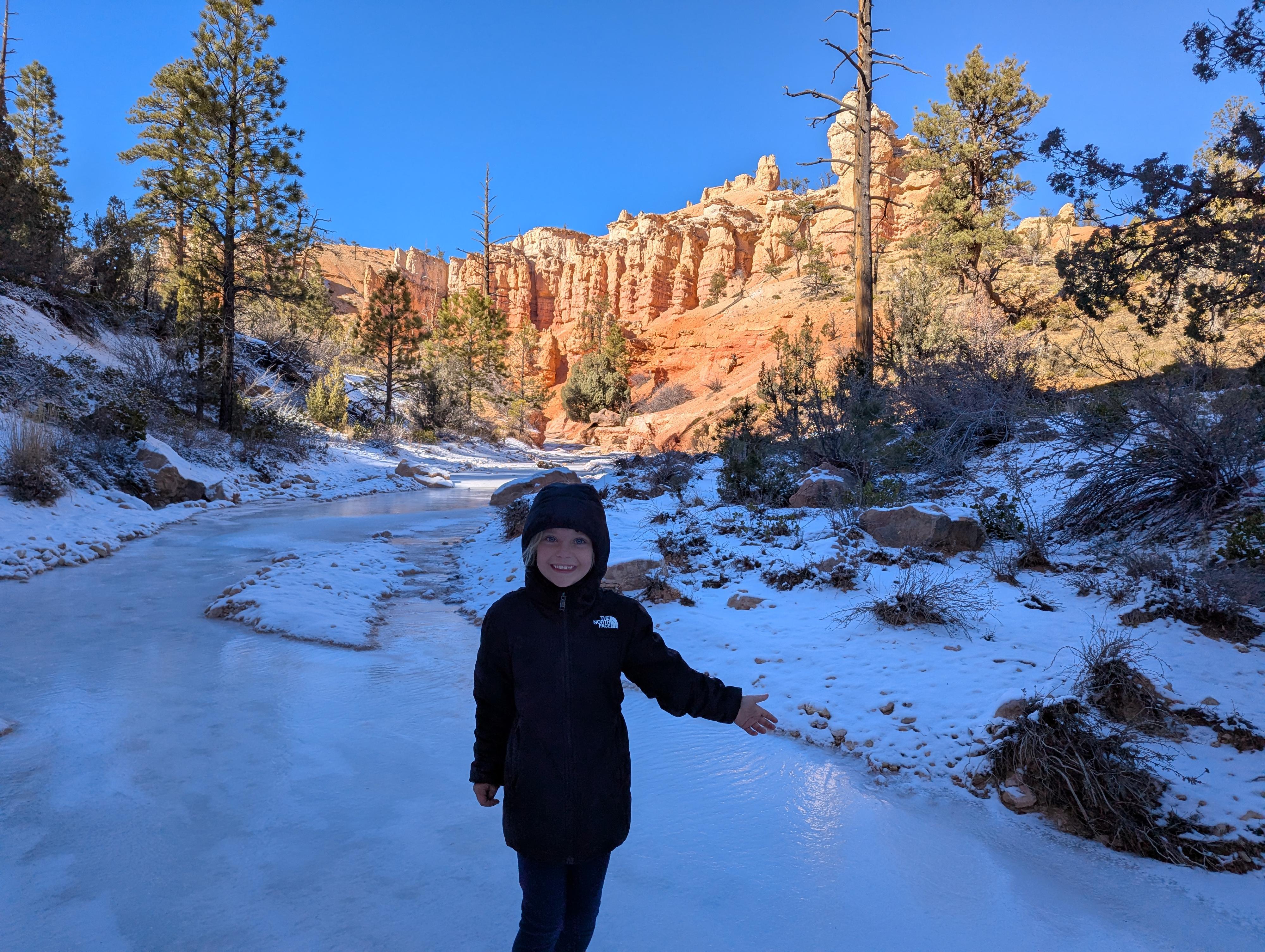
Irrigation water typically flows through Water Canyon from April to October."
Getting There
On highway 12, Mossy Cave is approximately 4 miles east of the junction of Highway 12 and 63. (Alternatively, it is a little over 3 miles west of the town of Tropic.) It is a large pullout on the right (west) side of the road. The trail head has a trail sign and map near the parking area.
Route Description
From the trailhead, simply follow the wide, well-defined trail. After a short distance (0.25 miles) and two bridge crossings, you will reach a junction.
Left is the way to Mossy Cave in 100 meters or so.
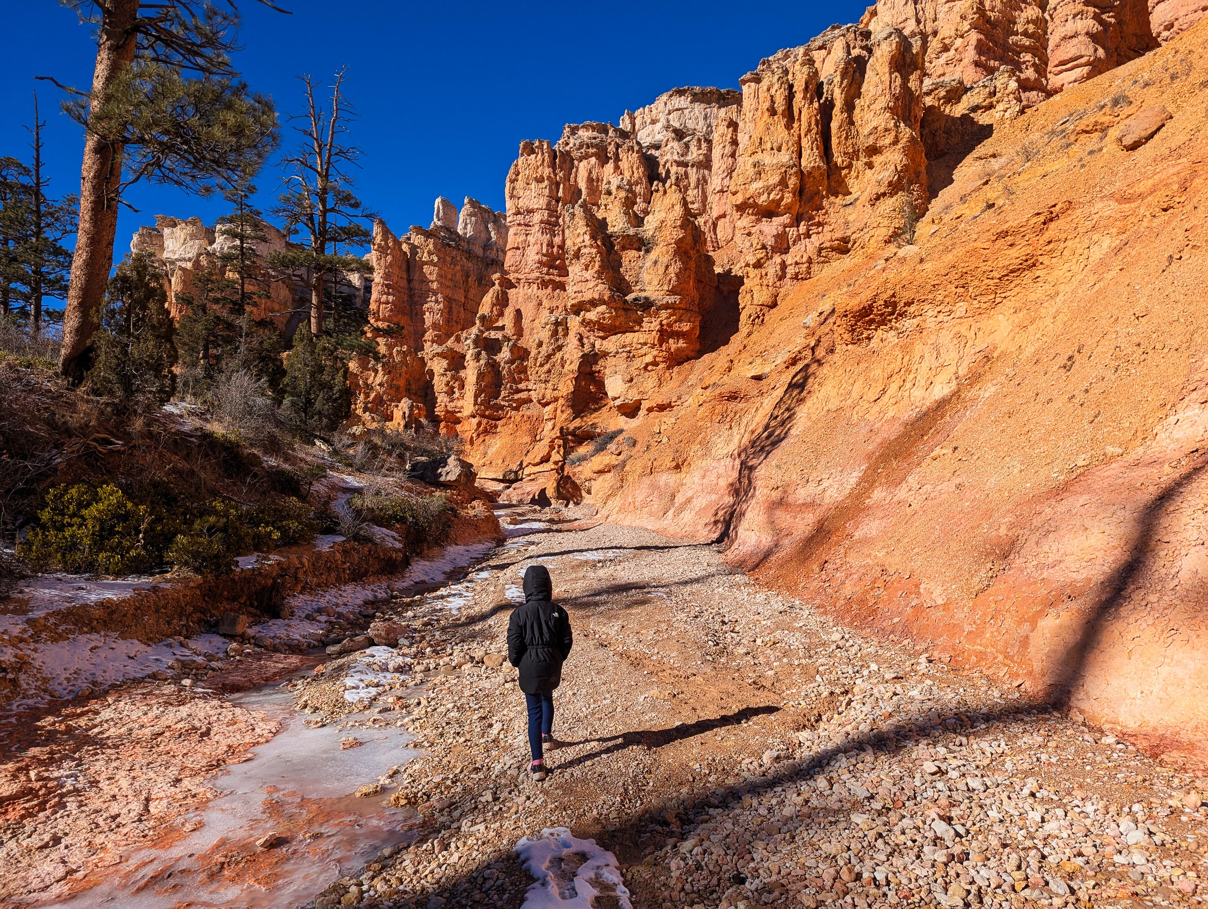
Right takes you to a very scenic waterfall, also in a 100 meters or so. If flows are low, it is worth working up either on the edge of the streambed, or on the trail left of the streambed for a bend or two to dramatic cliffs above. Return the same way.
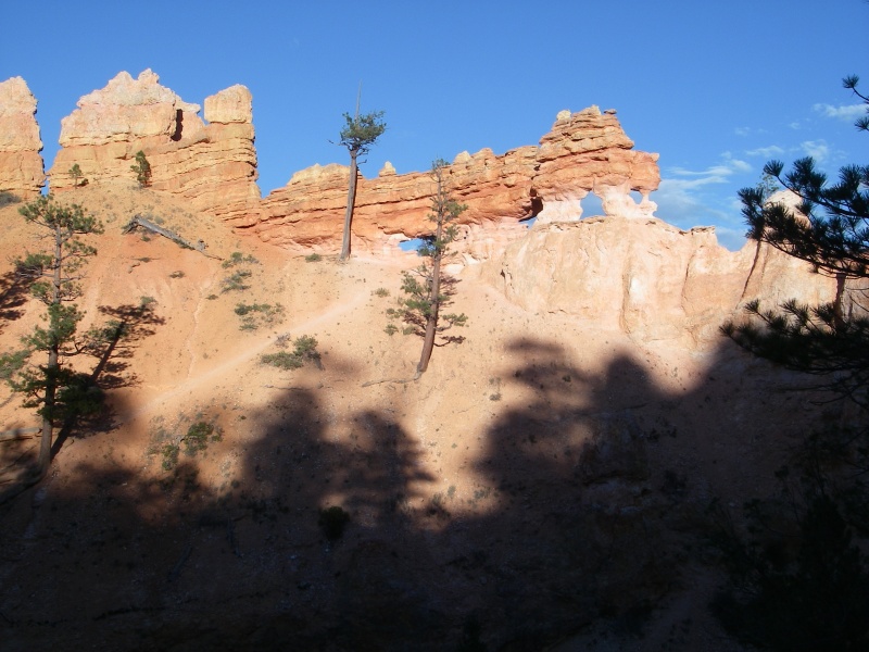
There are many great photographic opportunities in this area. Evening seemed to have the best light.
Photos
Maps

12S 402076E 4169313N
37°39'57"N 112°06'37"W
12S 401701E 4169154N
37°39'52"N 112°06'52"W
12S 401689E 4169068N
37°39'49"N 112°06'53"W
12S 401723E 4169266N
37°39'55"N 112°06'51"W