 Hiking
Thayne Peak
Hiking
Thayne Peak
Millcreek Canyon
Overview
Thayne Peak, at 8,656’, is not the most dramatic of the peaks in Millcreek Canyon. Mount Raymound or Gobblers Knob are my personal favorites for most dramatic peaks in Millcreek. Thayne Peak is quite popular and can be done as a nice semi-loop visiting the Salt Lake Overlook (on the south side of Millcreek) on the return.
It is a lovely outing that is not as long or strenuous as some of the other peaks in the canyon. There are a couple of ways to visit the peak. The shortest route is up Thayne Canyon, returning the same way. Having done Thayne Canyon many times, I must say, I really dislike it! It seems steep, boxed in, and endless feeling every time I have hiked up it. The alternative, the Desolation Trail is the opposite of Thayne Canyon. Originally designed for motorcycle use, the Desolation Trail takes seemingly endless lazy switch backs before intersection the Thayne Canyon trail not far for the peak. It is much longer, but also much more gradual. My preference is to grunt up Thayne Canyon, then take the longer and more leisurely Desolation Trail down.
Getting There
Millcreek Canyon is on the east side of the Salt Lake Valley, just south of I-80 and Parleys Canyon. To get there, take I-215 South from I-80 and take exit 4 off of I-215 and go left (east) on 3900 South.
Turn left on Wasatch Blvd just after crossing under the highway, then the next right on Millcreek Canyon Road.
0.7 miles from the junction of Wasatch Blvd and Millcreek Canyon Road is the entrance to Millcreek Canyon and the pay booth.
Mileage below is from the pay booth.
- 0.7 miles - Pipeline Trailhead on the left (north).
- 2.4 miles - Church Fork Trailhead on the left (north).
- 2.5 miles - Desolation on the right (south). This is the trailhead.
Route Description
From the trailhead, hike south up the trail. In a few minutes, the first Desolation Trai junction is reached. Right goes on the Desolation Trail, straight stays in the Thayne Canyon bottom. A few minutes past this first junction is a second Desolation Trail junction.
If wanting to take the Desolation Trail up, this second junction is the junction I recommend going right on, then following its course up hill. It will pass a rock outcrop on the ridge (The Salt Lake Overlook), then continue up more lazy switchbacks until reaching the Thayne Canyon Junction. This trail has great wide-open views of Millcreek for much of its length. The Salt Lake Overlook is popular for its excellent views of the Salt Lake Valley.
If taking the more direct path, stay straight on the Thayne Canyon Trail as it heads up the drainage. It is steep, rocky, and hemmed in. Grunt uphill until the junction with the Desolation Trail coming in on the right is reached. Phew! A steep climb.
From the Thayne/Desolation junction continue up hill on the Desolation trail. It will pass another major junction after one long switchback. Stay left here. Right climbs up to the ridge and heads down Neff's Canyon.
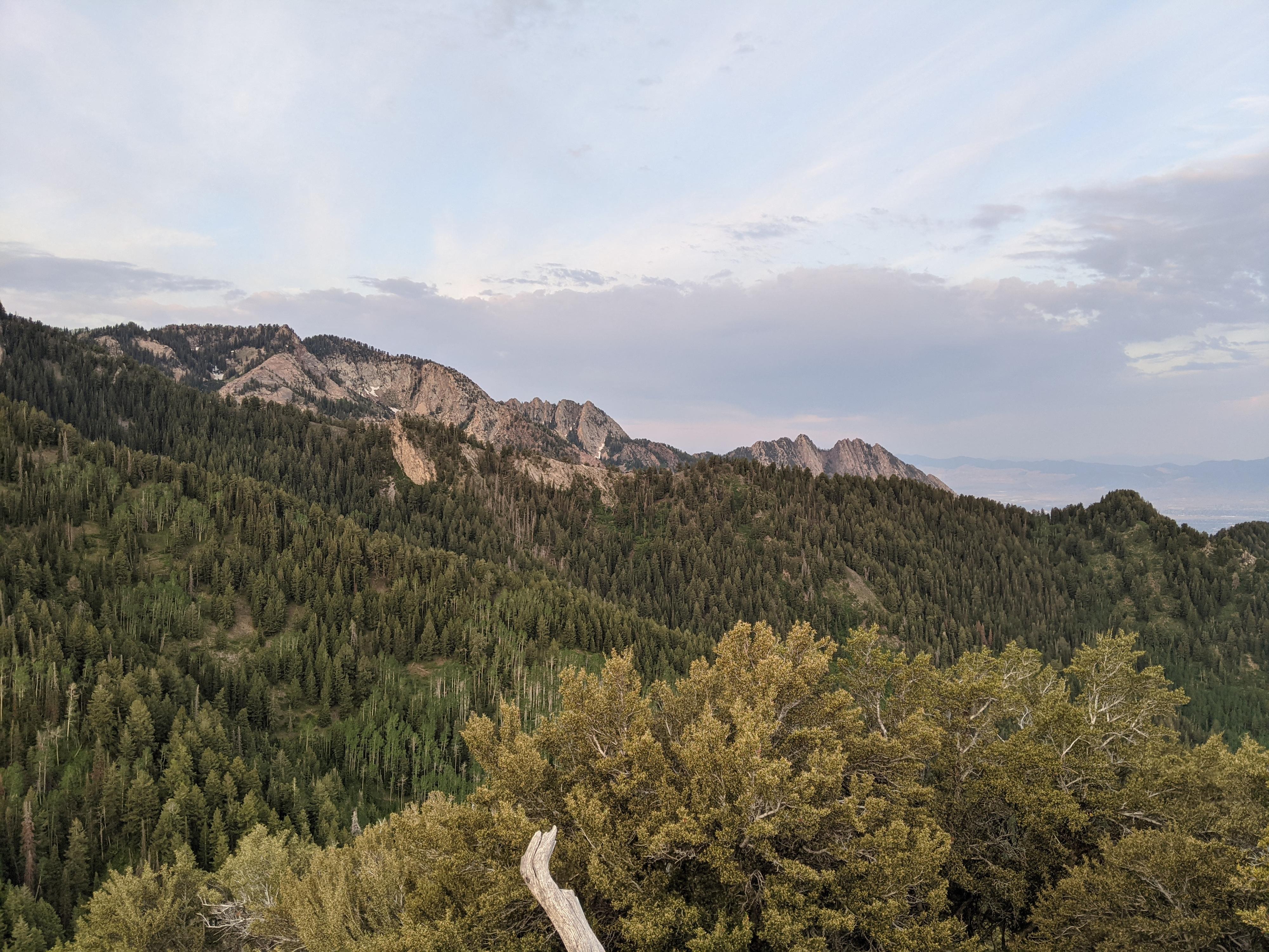
The trail climbs to a shoulder and another switchback. The social trail that leaves this corner heads north up Thayne Peak. It is steep in places, but very well used. The top is an excellent place to take in the views of Millcreek, the Salt Lake Valley, and the ridge separating Millcreek from Big Cottonwood.
Return the same way or take the opposite Thayne/Desolation trail down to make it a semi-loop.
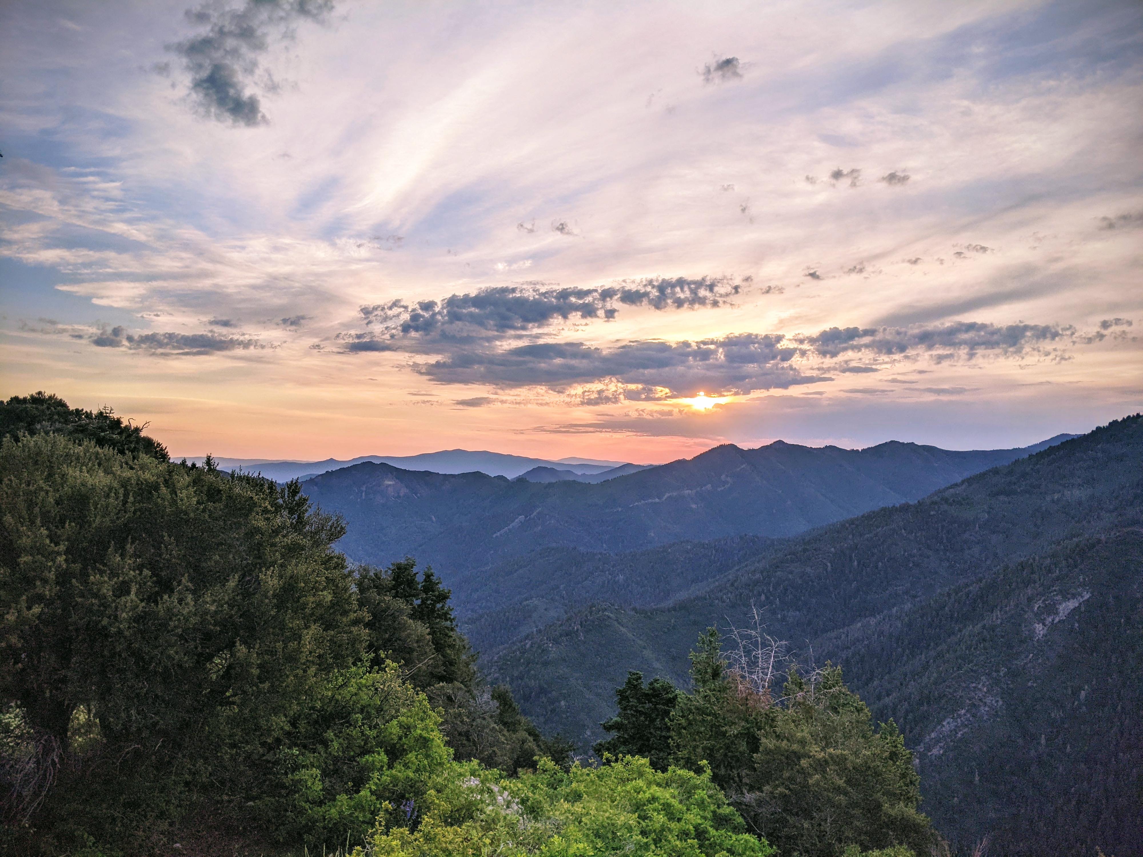
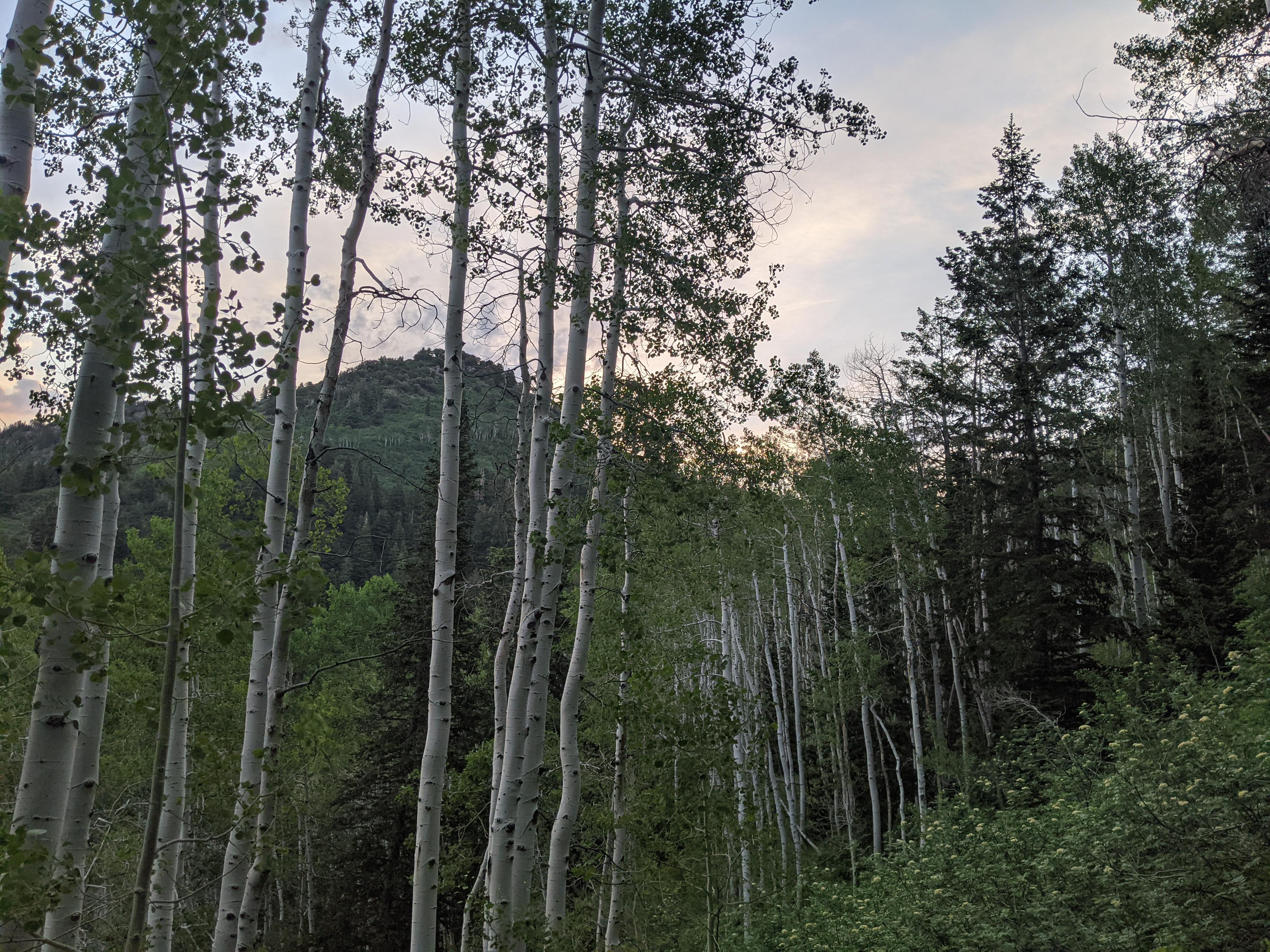
Photos
Maps

12T 437479E 4505454N
40°41'51"N 111°44'24"W
12T 437434E 4505414N
40°41'50"N 111°44'26"W
12T 437693E 4504856N
40°41'32"N 111°44'15"W
12T 437223E 4504489N
40°41'20"N 111°44'35"W
12T 438382E 4503419N
40°40'46"N 111°43'45"W
12T 438224E 4503292N
40°40'42"N 111°43'52"W
12T 438967E 4503392N
40°40'45"N 111°43'20"W