 Hiking
Pipeline Trail
Hiking
Pipeline Trail
Millcreek
Overview
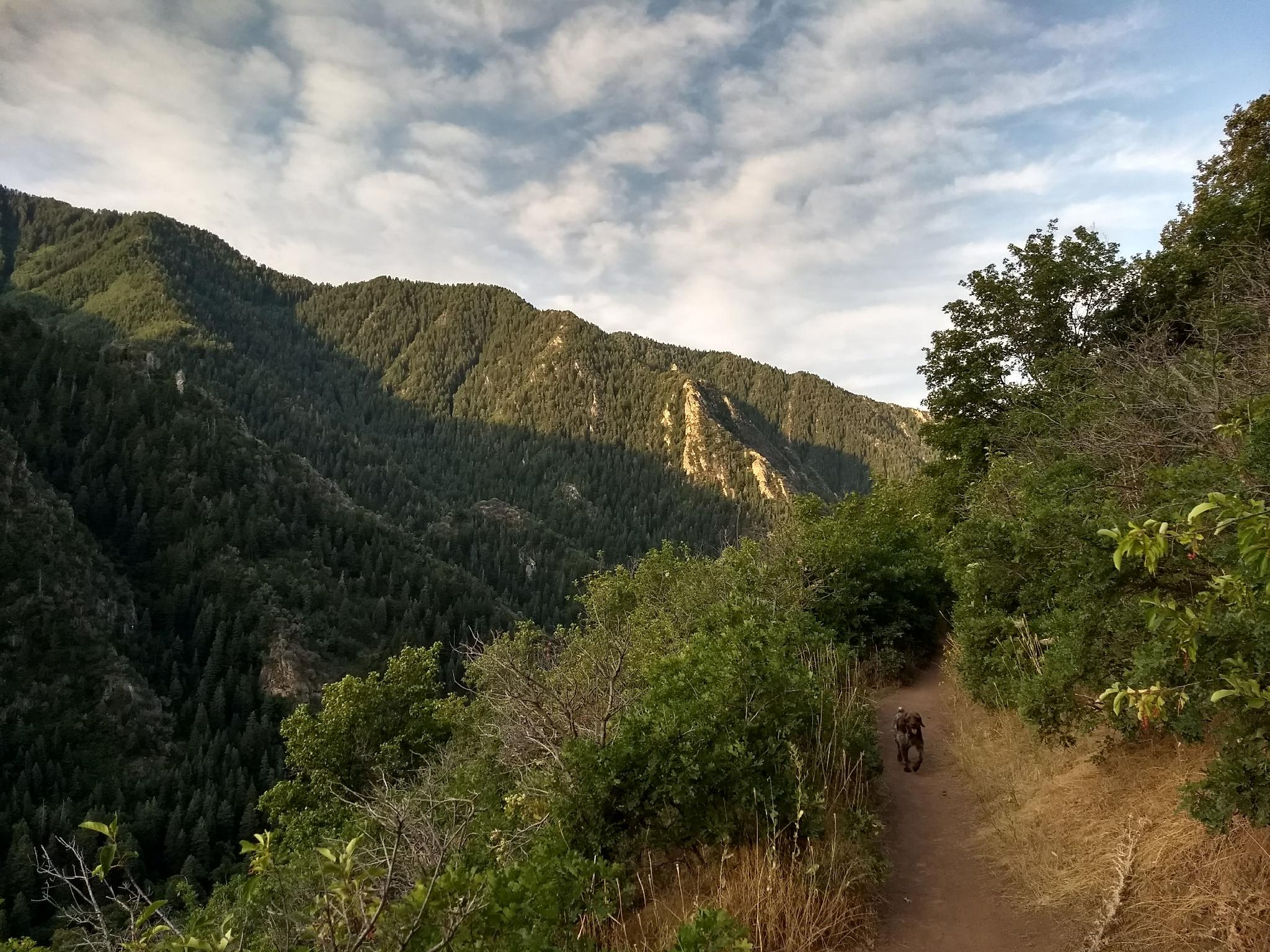
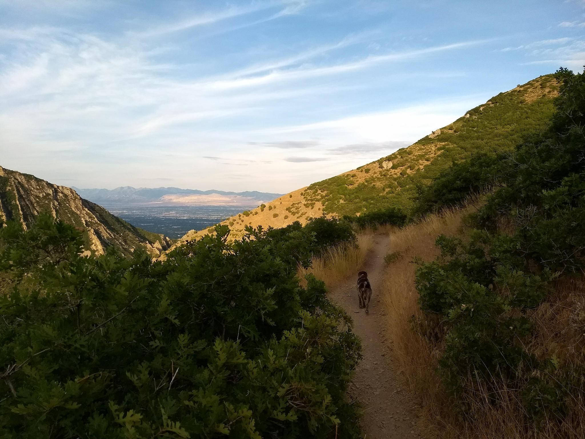
The Pipeline Trail in Mill Creek Canyon runs about 7.5 miles from the Salt Lake Valley Overlook near the mouth of the canyon to Elbow Fork about 1/2 way up the canyon. The Pipeline Trail is one of my favorite running trails! With three trailheads, it is easy to find a section or loop that fits the mood of the day. Much of the path is relatively flat, with all of it being wide, mostly rock free, and easy to run on.
In addition to being well suited for running, the trail makes a great hiking or biking trail as well. The lower section, from about Church Fork down is often done even in the winter. On a cold winter day, the sun on the south-facing slopes can feel glorious!
My favorite section is from Church Fork to Rattlesnake Gulch, or all the way to the overlook if I am feeling motivated. With each ridge crossing as you head down from Church Fork, the views become better and better.
Getting There
Millcreek Canyon is on the east side of the Salt Lake Valley, just south of I-80 and Parleys Canyon. To get there, take I-215 South from I-80 and take exit 4 off of I-215 and go left (east) on 3900 South.
Turn left on Wasatch Blvd just after crossing under the highway, then the next right on Millcreek Canyon Road.
0.7 miles from the junction of Wasatch Blvd and Millcreek Canyon Road is the entrance to Millcreek Canyon and the pay booth.
Mileage below is from the pay booth.
- 0.7 miles - Pipeline Trailhead on the left (north).
- 2.4 miles - Church Fork Trailhead on the left (north).
- 3.5 miles - Burch Hollow Trailhead (north).
- 5.4 miles - Elbow Fork Trailhead (Mount Aire)
Route Description
The Pipeline Trail has three trailheads. From the mouth of the canyon up:
Pipline Trail/Rattlesnake Gulch/Salt Lake Overlook
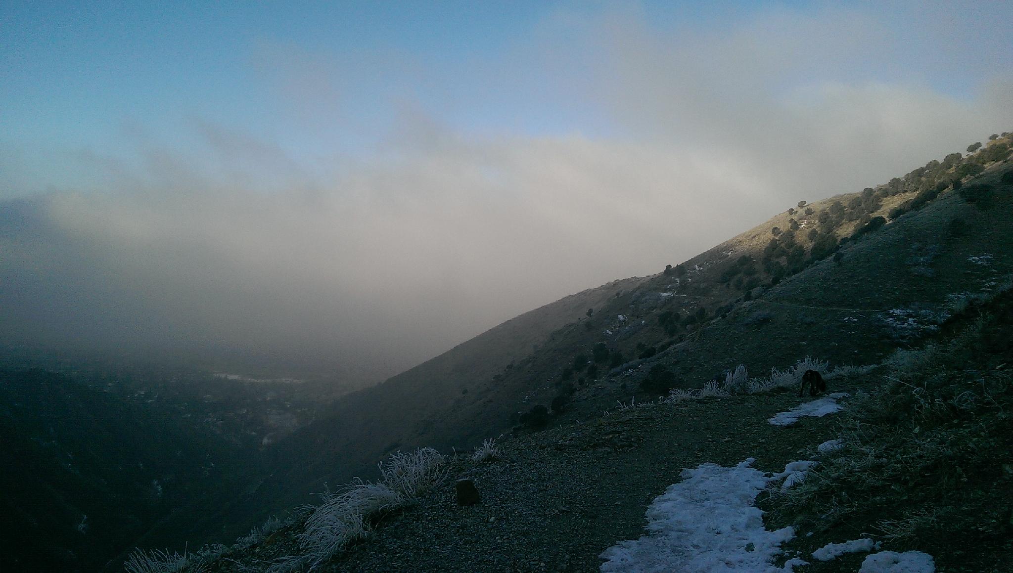
This connector trail is steep, and about 0.8 miles from the road to the Pipeline Trail. A tough way to start a run, but makes a great hike, especially if the Salt Lake Overlook is your goal. The gulch can be quite icy in the winter.
Church Fork
A short stroll from the parking area to the trail or about a 0.75-mile walk from the road if parking is full. This trailhead is also the Grandeur Peak trail, and often quite busy. The picnic area gate is closed during the winter and only open from 8 AM to 10 PM in the other seasons. If you have a k-9 companion with you, Church Fork has flowing water.
Burch Hollow
This trailhead doesn't seem to see quite as much traffic as the others. A good bet for a parking spot on a busy day. It is only a few minutes walk from the parking area to the Pipeline Trail. Left, to Church Fork, is a lovely 3-ish mile round trip amble that is one of our families favorite outings. Right, to Elbow Fork, is the steepest section of the Pipeline Trail.
Elbow Fork
Elbow Fork Trailhead is a small parking area with a pit toilet. This trailhead is also the trailhead for Mt. Aire and is often very busy and hard to find a parking place.
Distances between sections are shown on the maps.
Maps
")
")
")
12T 435023E 4504792N
40°41'29"N 111°46'08"W
12T 437270E 4505784N
40°42'02"N 111°44'33"W
12T 437233E 4505910N
40°42'06"N 111°44'35"W
12T 439070E 4505641N
40°41'58"N 111°43'16"W
12T 438813E 4505650N
40°41'58"N 111°43'27"W
12T 441730E 4506378N
40°42'23"N 111°41'23"W
12T 433915E 4505036N
40°41'37"N 111°46'56"W
12T 435085E 4505573N
40°41'55"N 111°46'06"W