
 Eagle Canyon Arch
Central Swell
Overview
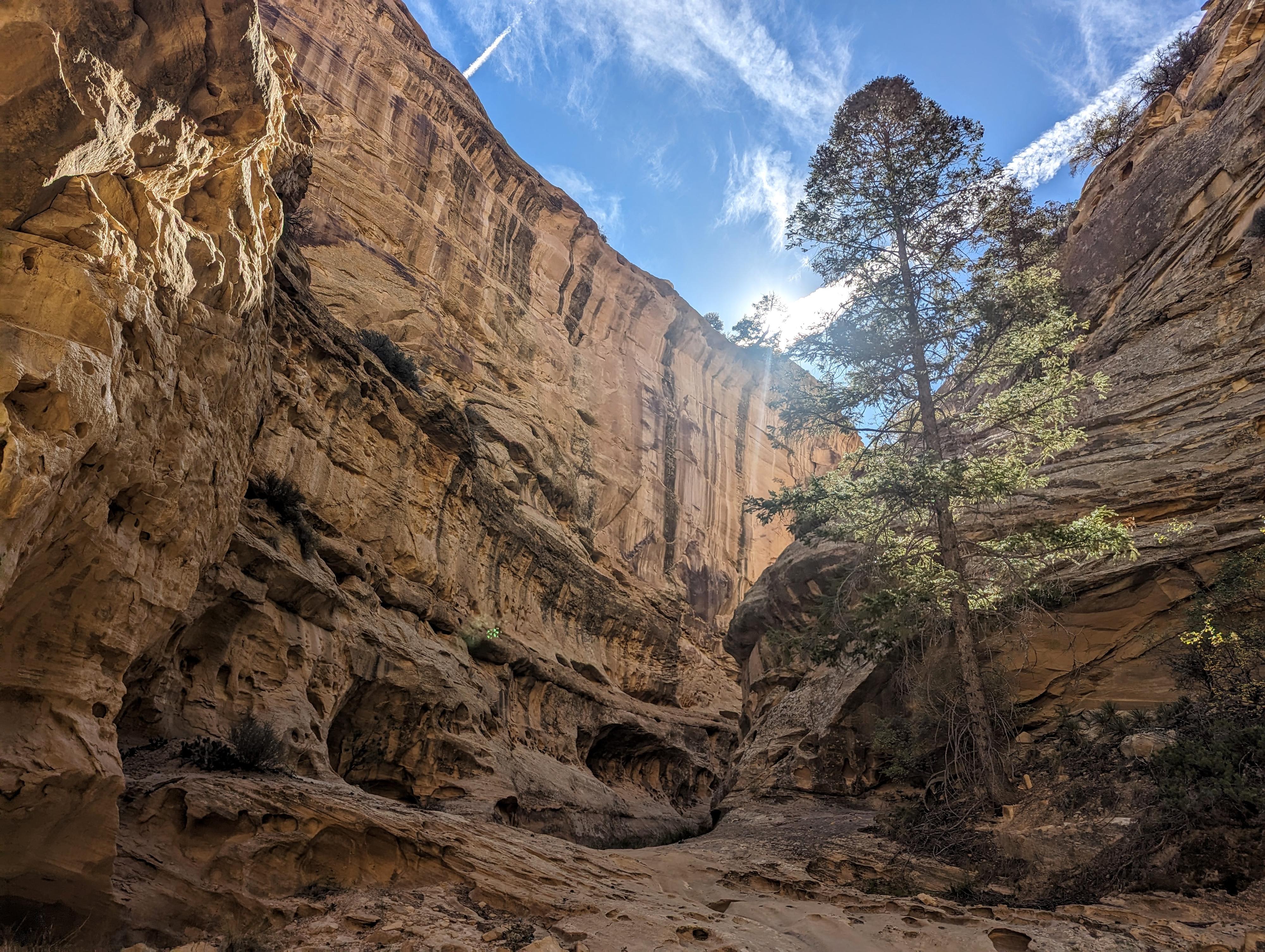
Eagle Canyon Arch is an impressive arch tucked into the bottom of Eagle Canyon, south of I-70. The arch, though only having a span of about 12 feet, has a height of about 50 feet and looks dramatic in the context of the deep walls of Eagle Canyon. Reaching the arch can be done either via four-wheel drive vehicle, ATV, or by foot.
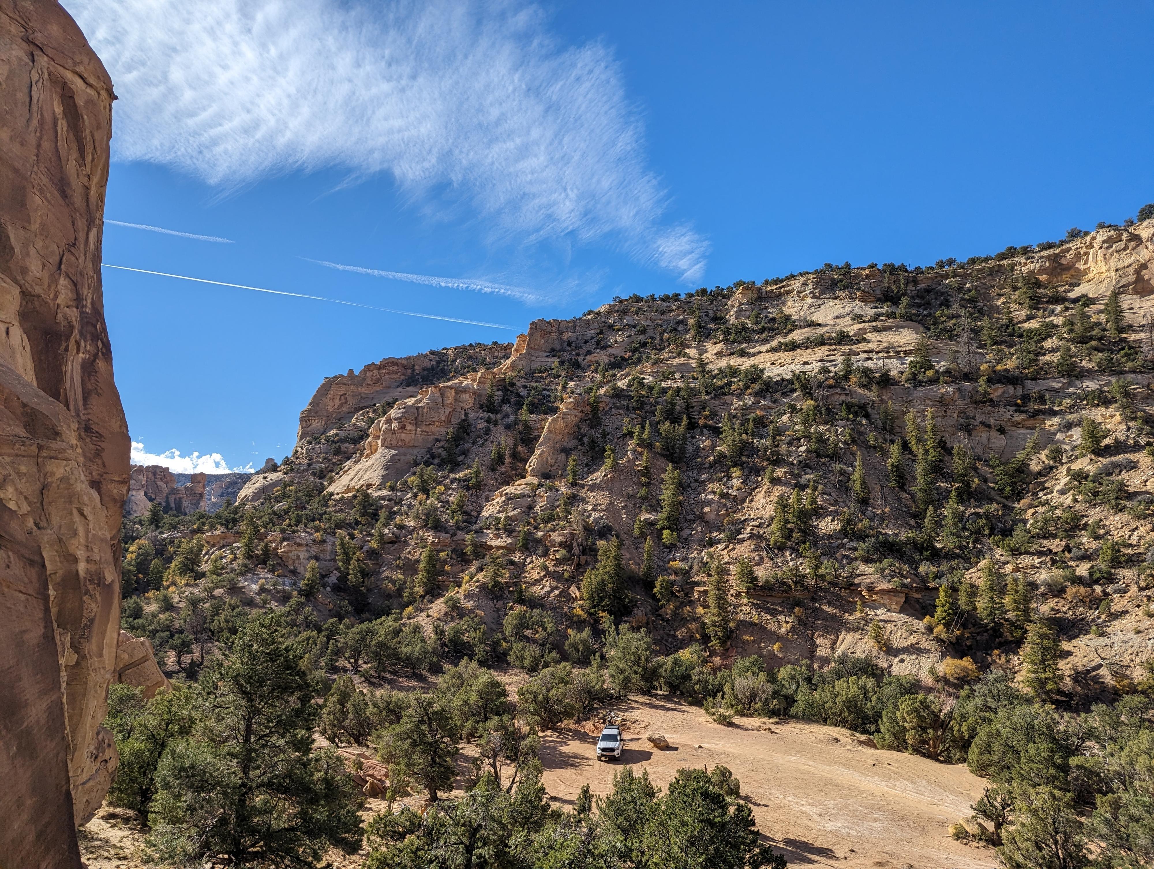
If trying to drive to the arch, the easiest route is from Swasey Cabin. Driving from the cabin is fairly narrow, with a few rock ledges and obstacles to negotiate. You will need a true high clearance four-wheel drive vehicle. For my skill level, I was happy to have a mid-size vehicle (Ford Ranger) and am not sure that I could have successfully gotten a full-size pickup down the trail. The stock Ranger had no problem, though a few spots required careful negotiation to avoid scraping the body.
Mountain biking or walking the jeep road is a great option if you don't have a vehicle capable of negotiating the rough road. The trail is somewhat popular, but even so, you are unlikely to encounter too many motor vehicles if walking.
Getting There
The first step is to reach Swasey's Cabin. The directions for reaching that are below.
Take exit 131 from I-70 (about 30 miles west of Green River). Go south off the freeway.
Route Description
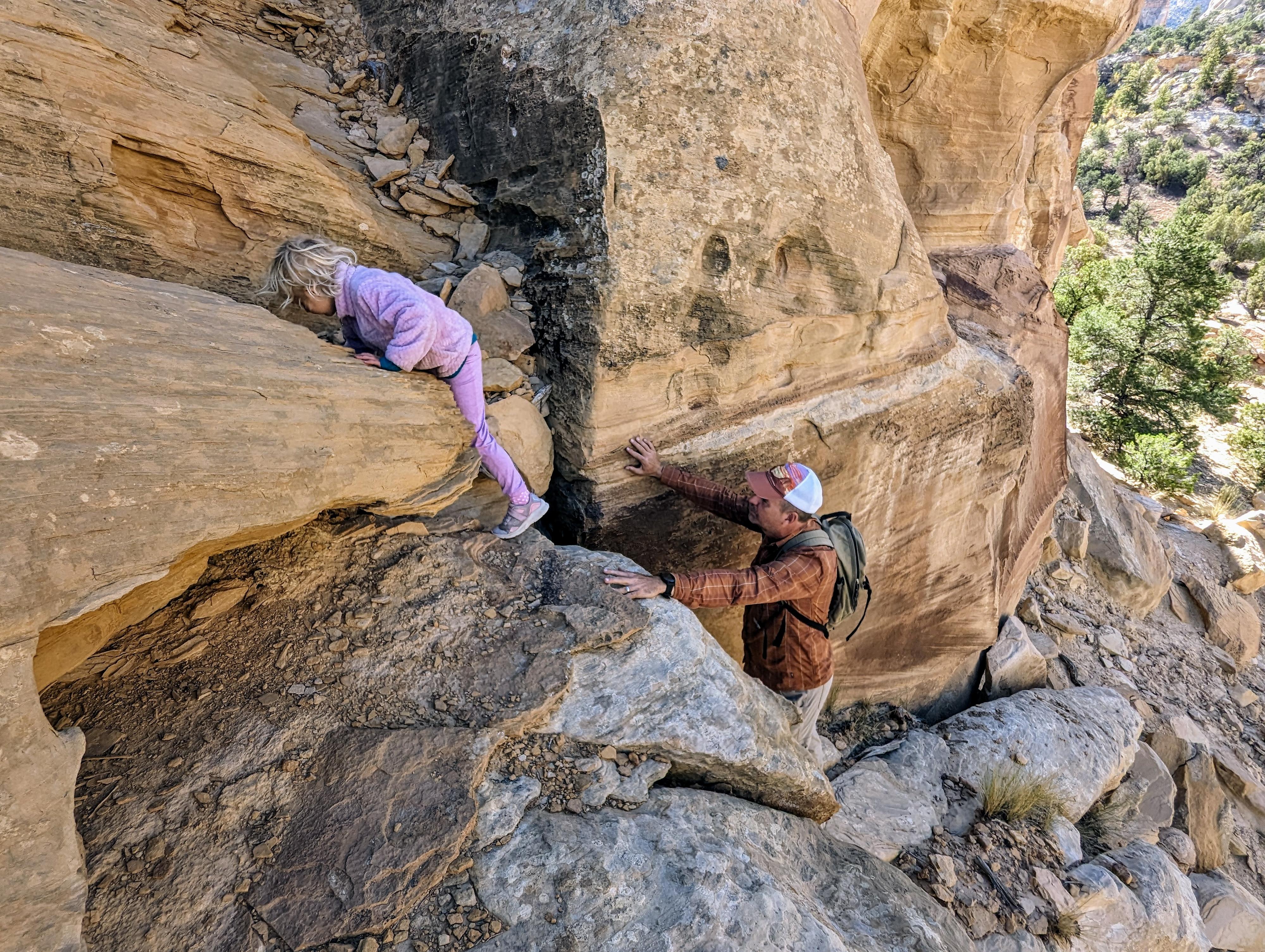
From the big parking area, the arch is a stone's throw away. For the adventurous, you can scramble up to the base of the arch, then around to the left via easy scrambling to get behind the arch. There also appeared to be an easier route to the arch by continuing down Eagle Canyon a couple of hundred feet and climbing the dirt slope.
About 2 miles down from the arch, the road goes under the two arch bridges on I-70. They are very impressive to see from below and worth the side trip, especially if driving.
Maps

12S 516755E 4298621N
38°50'10"N 110°48'25"W
12S 514713E 4299298N
38°50'33"N 110°49'50"W
12S 514464E 4299874N
38°50'51"N 110°49'60"W
12S 512333E 4301116N
38°51'32"N 110°51'28"W
12S 511728E 4301248N
38°51'36"N 110°51'53"W
12S 512912E 4301803N
38°51'54"N 110°51'04"W
12S 510408E 4301828N
38°51'55"N 110°52'48"W
12S 511462E 4301871N
38°51'56"N 110°52'04"W