 Hiking
Lions Head
Hiking
Lions Head
Cape Town South Africa
Overview
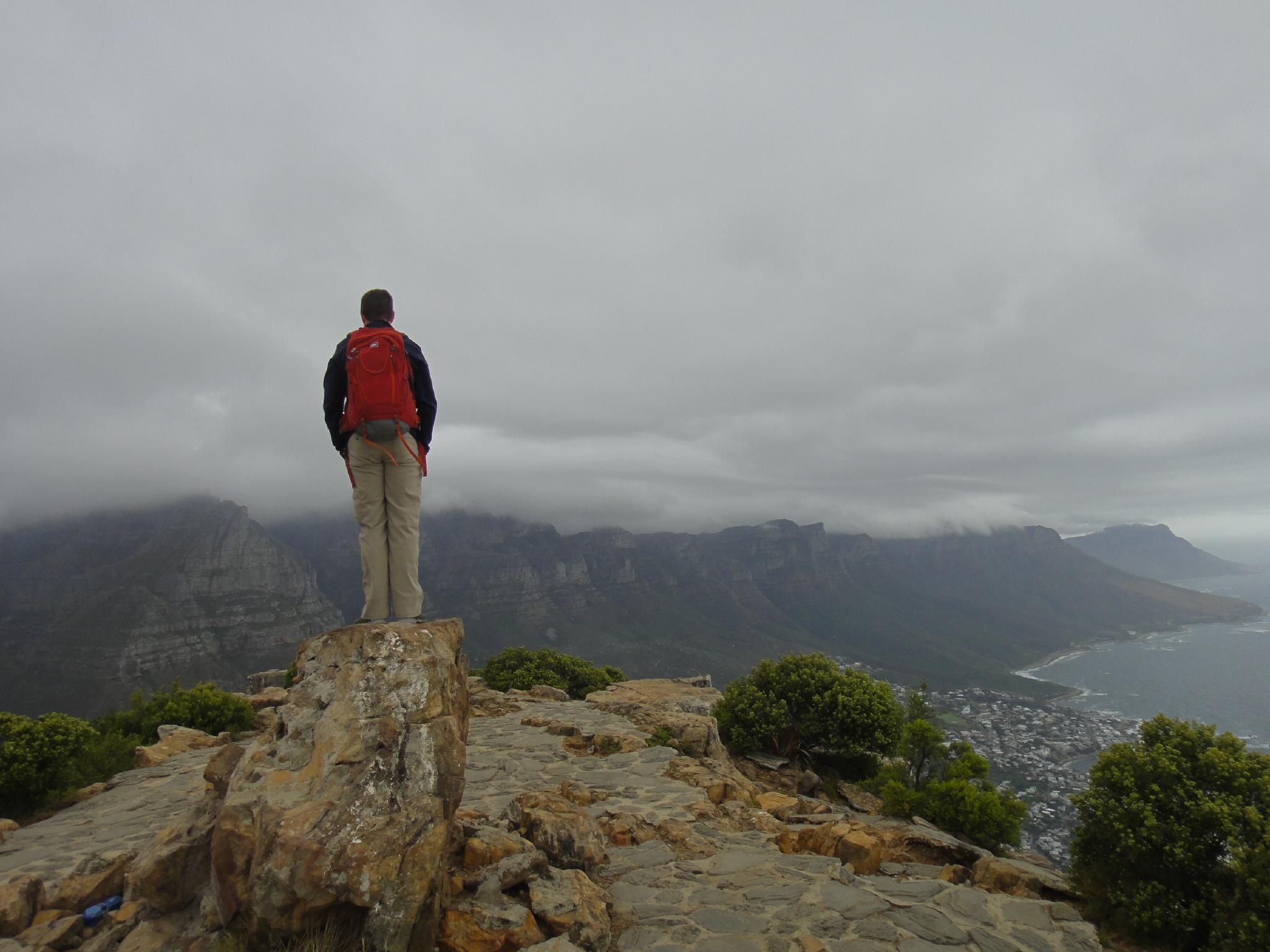
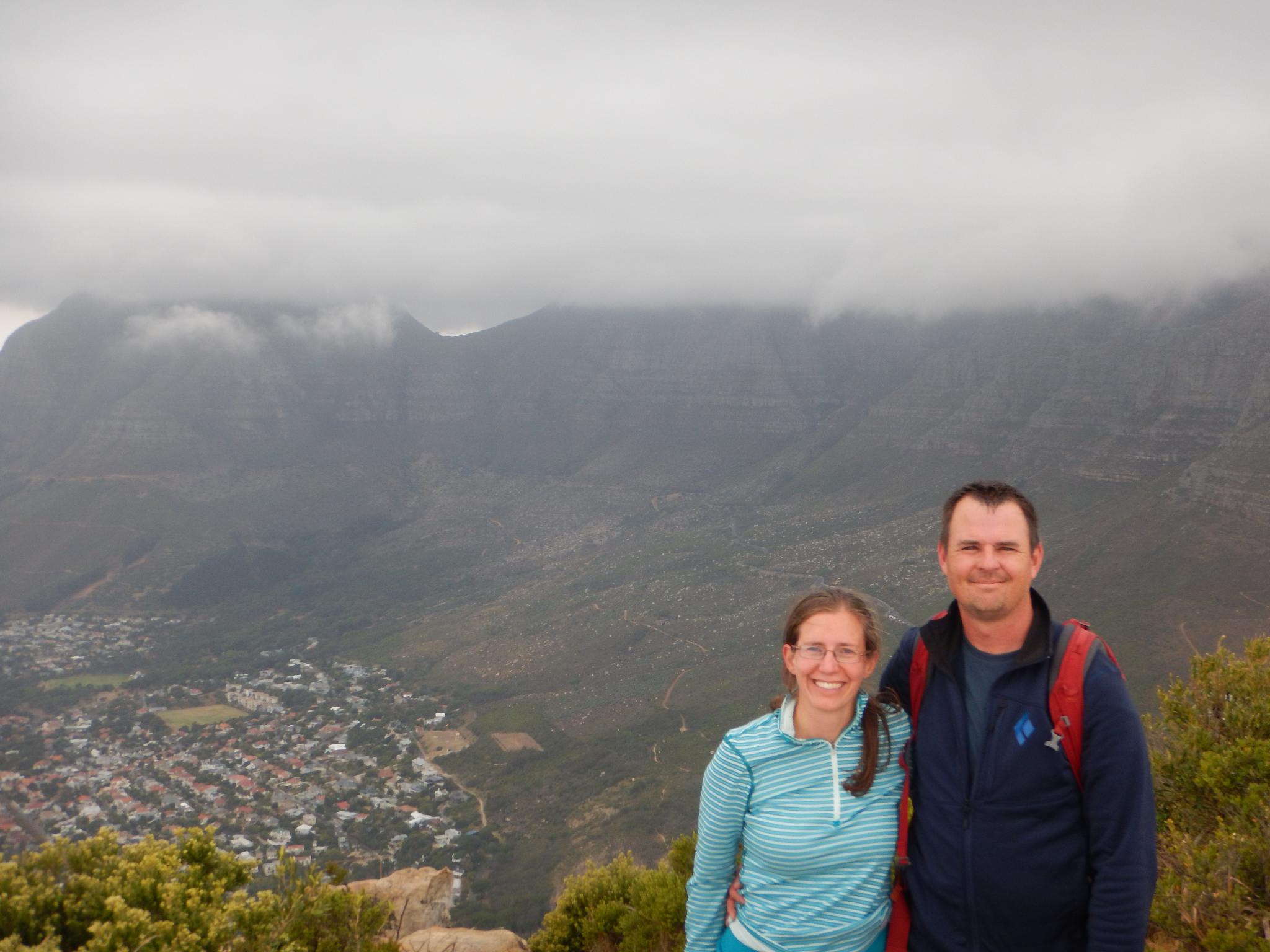
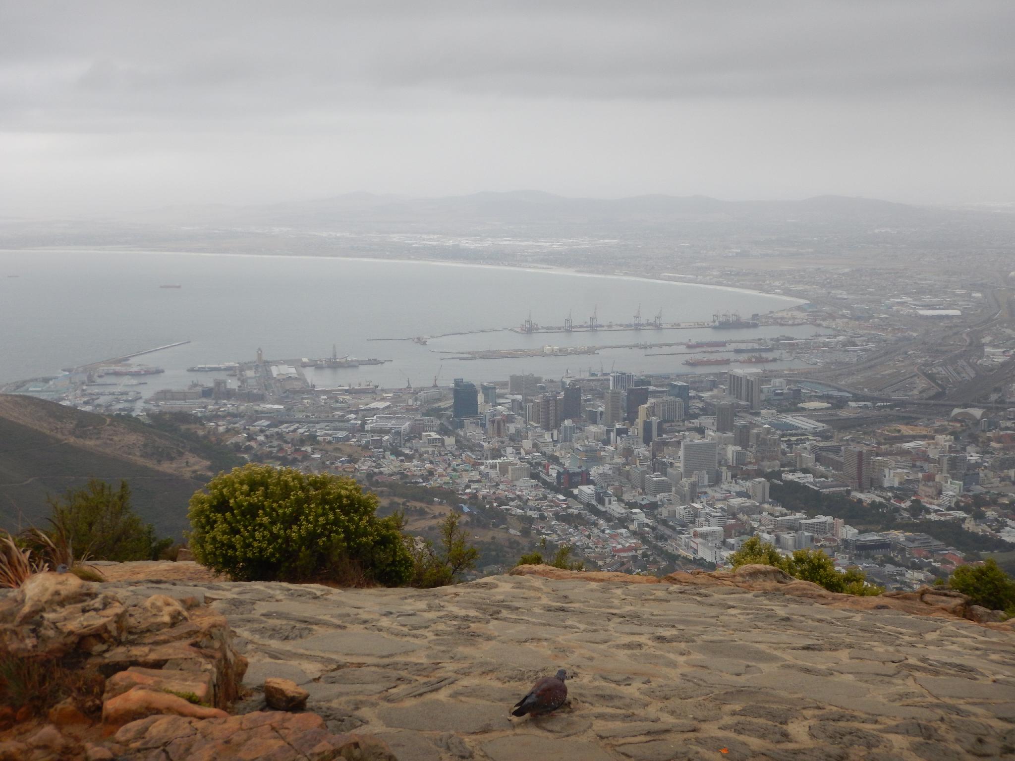
It's tough to find a better hike to recommend around Cape Town than Lions Head. The hike is close to the city, has amazing views, and just a bit of spice making this one you will likely enjoy and remember. I enjoyed hiking up Table Mountain as well, but would rate Lions Head as being even better plus it offers excellent views of Table Mountain.
The hike is a casual amble until near the summit where a junction allows for an easier and longer route, or a more spicy fun route using fixed chains and steps to climb straight up. For most, I would recommend going up the cables, and coming down the longer route simply because it is fun to experience both routes!
Getting There
From Cape Town, travel south-west on Kloof Nek Rd/M62 to the pass with Table Mountain on the left and Lions Head on the right. Turn right here at the junction with Signal Hill Road. Follow Signal Hill Road 1km where the signed trailhead is on the left.
Route Description
From the trailhead, follow the road as it winds its way north and east around Lions Head. When the road ends, the trail begins and continues contouring around Lions Head. On the south side of Lions Head is a sign indicating the route gets a bit more difficult. This is a good spot to stop and take in the views of Signal Hill just to the south, Cape Town and the ocean beyond.
From the south side, the trail continues contouring around the peak, now heading north with Table Mountain in the distance. The trail soon comes to a junction. Right is recommended, and requires using fixed steps and chains to climb up to the ridge. Left offers fewer obstacles and an easier path to the same spot on the ridge. I'd recommend going up the chains and returning via the longer/easier route.
From the ridge, the trail climbs steeply to the summit and amazing views all around. Return the same way.
Maps

34H 259205E 6241769N
33°56'13"S 18°23'41"E
34H 258596E 6241647N
33°56'17"S 18°23'17"E
34H 258753E 6242098N
33°56'02"S 18°23'24"E
34H 258786E 6241873N
33°56'10"S 18°23'25"E
34H 258674E 6241978N
33°56'06"S 18°23'21"E