 Hiking
Mr. Williams' Geology Trail
Hiking
Mr. Williams' Geology Trail
Grand Junction
Overview
Mr. Williams' Geology Trail is a tribute to the Fruita Science teacher Mike Williams. Mr. Williams passed away unexpectedly in 2007 while leading his Geology Class on a field trip to Arches National Park.
The trail is two parts: a section that visits Opal Hill, and a section that visits Devils Canyon. The section of trail described here is the Devil's Canyon section. While the geology is interesting, the scenery is stunning. I recommend the loop even if you aren't interested in geology.
Getting There
From I-70, take exit 19 for CO-340 toward U.S. 6/Fruita. Head south off the highway, staying straight through the round-a-bout to stay on CO-340. (Signed Colorado National Monument)
1.2 miles from I-70, just after crossing the Colorado River, turn right on Kingsview Road. Follow Kingsview Road another 1.2 miles. The Devils Canyon Trailhead is signed on the left, about 0.2 miles off Kingsview Road.
Route Description
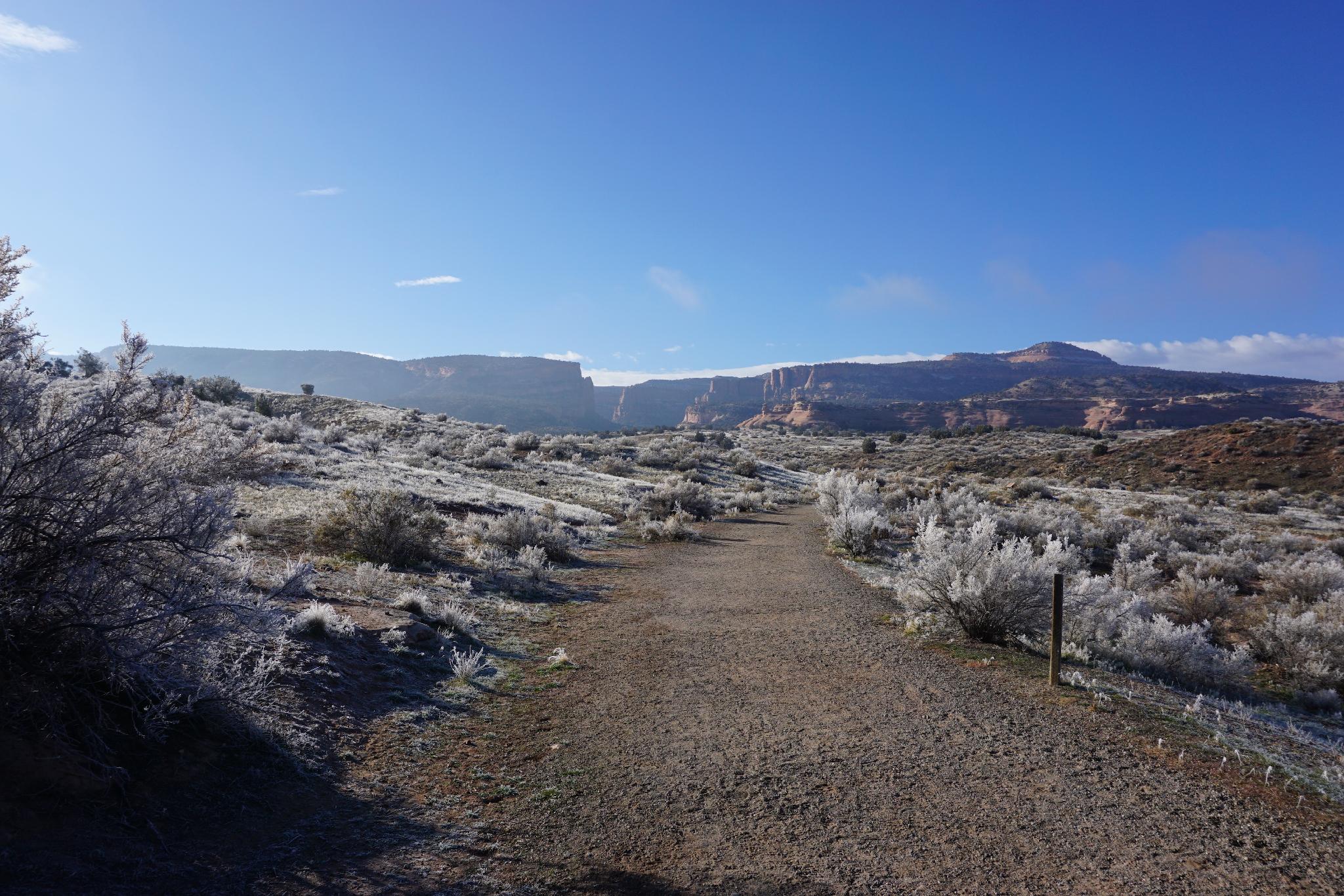
From the trailhead, follow the Devils Canyon trail. The trail is the gated road that is signed and leaves the parking area on the west side. Stay on this road first past a smaller side trail on the right and then past one on the left until you arrive at a major junction.
The junction is signed Devils (right) and Kodel (left). The left trail goes down and crosses a bridge. This junction is the loop junction. The loop can be done in either direction, but we went counter-clockwise, so it is described that way.
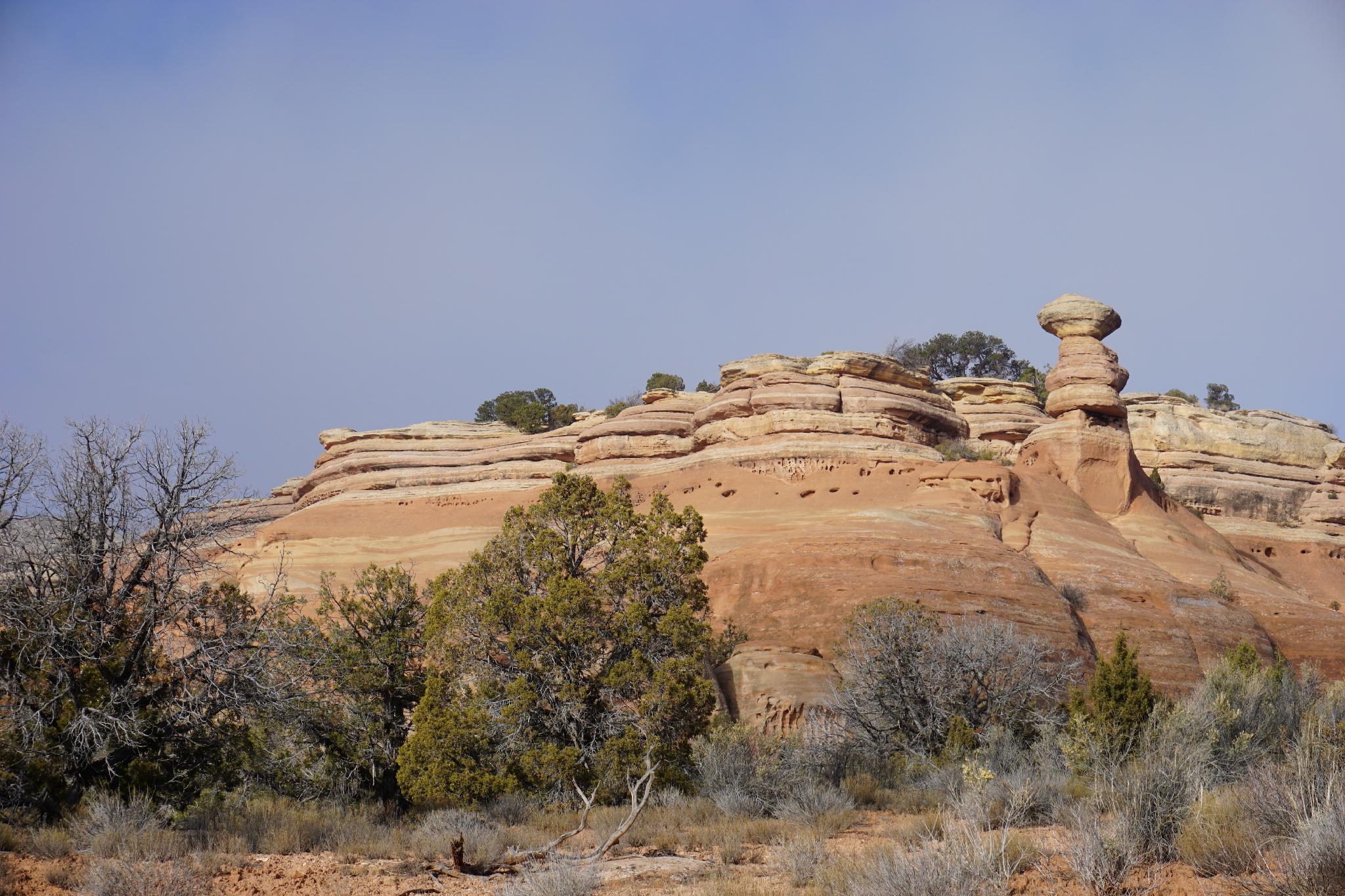
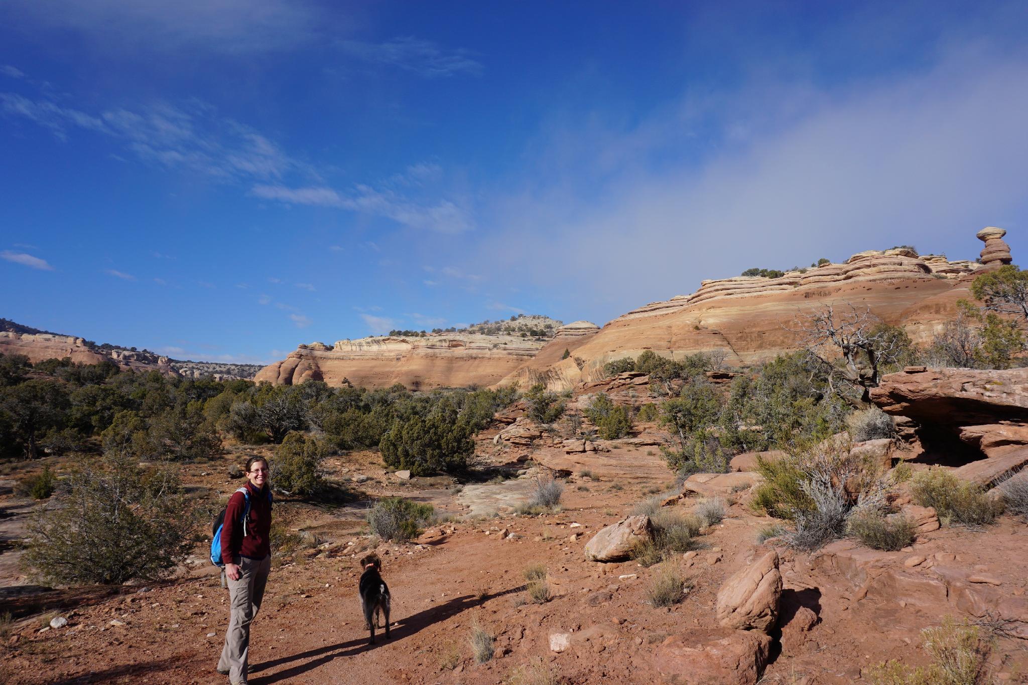
From the Devils/Kodel junction, go right. A photogenic tower is visible on the right, known as the Cowboy Hat. Not far after the Cowboy Hat is a trail junction. Go left here, leaving the road and switching to single track trail. The trail follows the rim of Devils Canyon, then descends to the canyon bottom.
Once in the canyon bottom, go up the canyon a couple of minutes to a Geology Tour Sign, then head down canyon. This section, to me, was the most enjoyable,a very pleasant amble through the canyon. The canyon ends all too soon at the wood bridge on the Kodel Canyon trail. Go left, across the bridge, and back to the Devils/Kodel junction where the loop started.
Return down the road the way you came.
Maps

12S 693917E 4334696N
39°08'24"N 108°45'23"W
12S 693509E 4334409N
39°08'15"N 108°45'40"W
12S 693567E 4334282N
39°08'10"N 108°45'37"W
12S 693627E 4334233N
39°08'09"N 108°45'35"W
12S 693372E 4333867N
39°07'57"N 108°45'46"W
12S 693194E 4333399N
39°07'42"N 108°45'54"W
12S 693687E 4334110N
39°08'05"N 108°45'33"W