 Hiking
Platteklip Gorge
Hiking
Platteklip Gorge
Cape Town South Africa
Overview
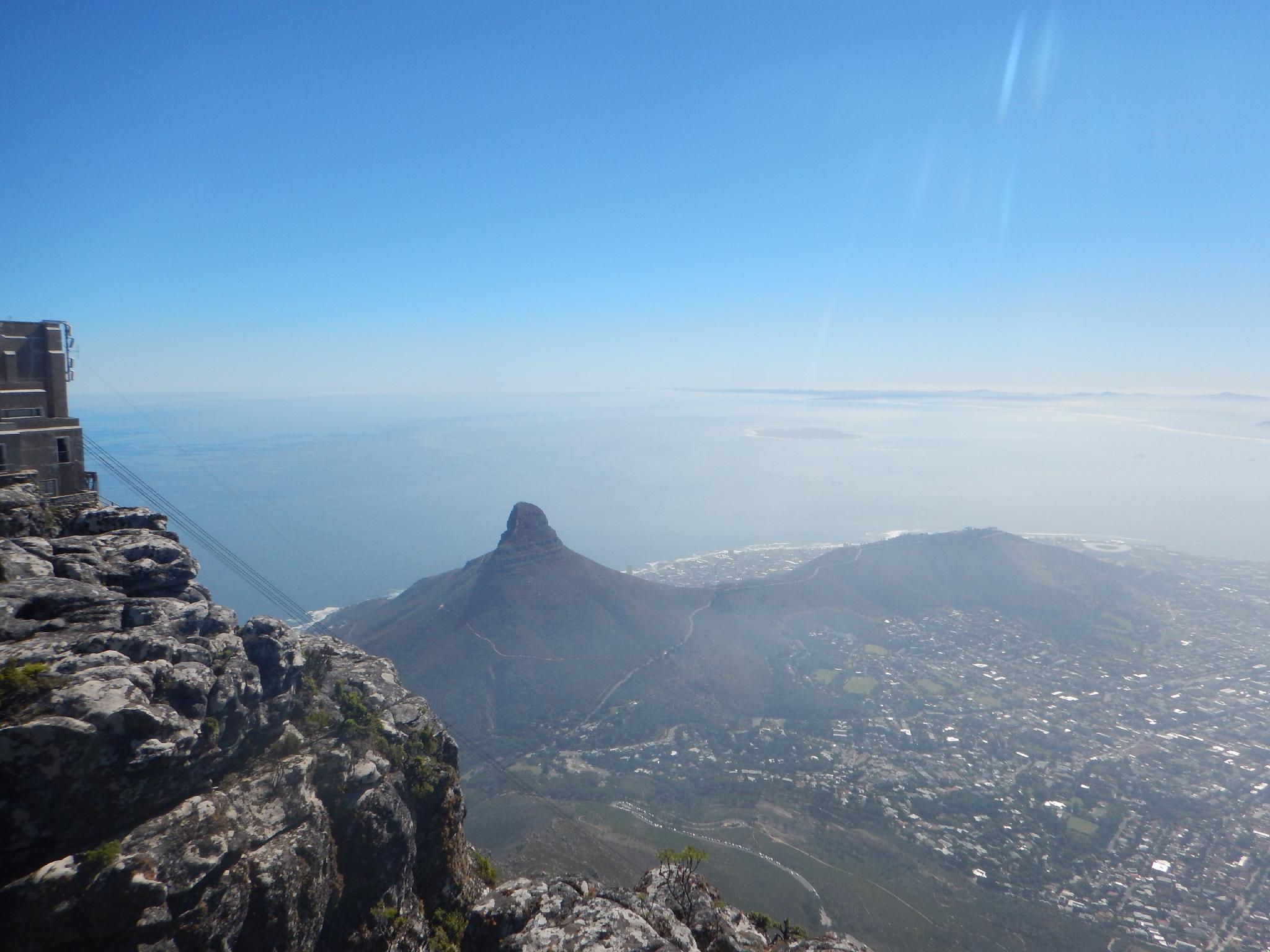
Table Mountain provides a stunning backdrop to Cape Town. Surely every visitor to Cape Town admires the lofty summit. In my opinion, no Cape Town visit is complete without reaching the summit. The views from the top are incredible.
Platteklip Gorge is the second most popular route to the summit of Table Mountain. The most popular? Whether by foot or cable car, reaching the summit is a must do. If hiking Platteklip, start early on hot days and be sure to bring enough water. The route gets full sun and can be a scorcher in the heat.
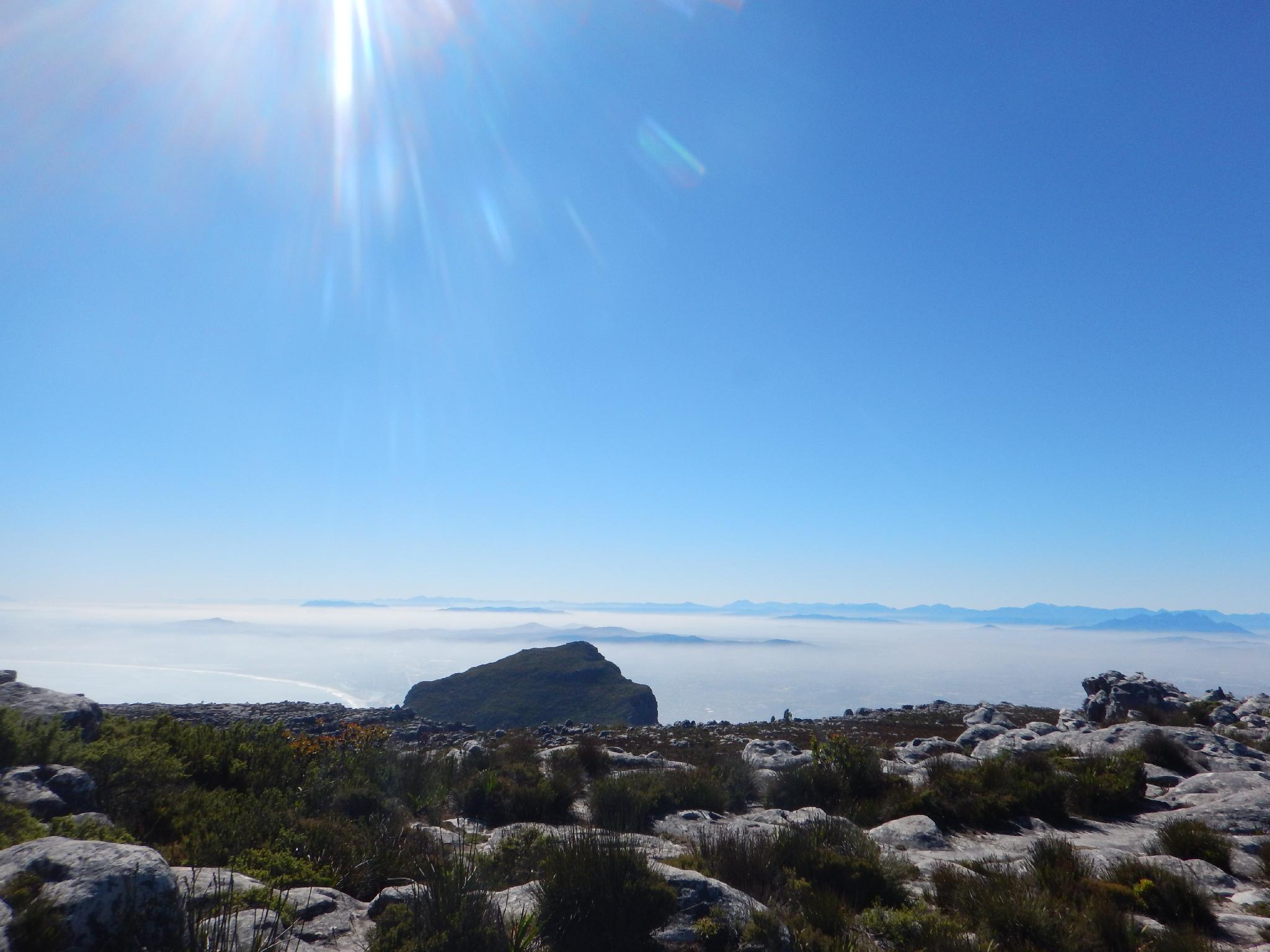
Many days the summit is shrouded in thick clouds. The locals refer to this as Table Mountain having its tablecloth on. Avoid hiking on these days as the views won't be good and route finding on top can be challenging if the clouds are too dense.
Also, if hiking up and taking the cable car down, buy your tickets on the top on the way down to avoid the usually long lines at the bottom cable car.
Getting There
From Cape Town, travel south-west on Kloof Nek Rd/M62 to the pass with Table Mountain on the left and Lions Head on the right. Turn left here at the junction and follow the signs to the cable car station. Depending on how busy it is, you may need to park at one of the first switchbacks. Generally a traffic volunteer will help direct parking.
Route Description
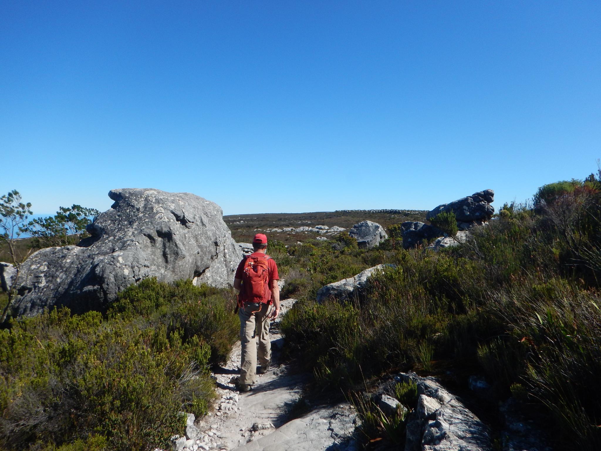
From the cable car station, take the main trail that climbs steeply up to the contour path. The trail start is on the east side of the cable car station, where buses are usually parked. The steep path joins the contour path in 0.5km. At the junction, go left on the contour path. The path is mercifully flat for 1.5km. Stay right at the two major junctions.
The contour path passes through a drainage offering shade a nice respite from the heat. Just past this nice shady spot, go right and begin the steep 2km trudge up the Platteklip Gorge. Big steps and unrelenting steepness make this feel like a Stairmaster. High in the gorge are a few opportunities to rest in the shade.
Once on top, a junction is reached. I would recommend going left 1.8km to visit Maclear's Beacon. This is the highest point on Table Mountain and offers good views along the way. Going right at the top of the Platteklip Gorge takes you to the upper cable car station in about 10/15 minutes (0.8km).
Maps

34H 259910E 6240606N
33°56'52"S 18°24'08"E
34H 259998E 6240214N
33°57'04"S 18°24'11"E
34H 261071E 6239653N
33°57'23"S 18°24'52"E
34H 261212E 6239491N
33°57'29"S 18°24'57"E
34H 261279E 6239490N
33°57'29"S 18°24'60"E
34H 260465E 6239033N
33°57'43"S 18°24'28"E
34H 262128E 6238541N
33°58'00"S 18°25'32"E
34H 260023E 6239516N
33°57'27"S 18°24'11"E