 Hiking
Mountain Dell Canyon
Hiking
Mountain Dell Canyon
Mountain Dell
Overview
Infrequently trodden, I’ll be the first to admit that the trail up Mountain Dell Canyon is a bushwhack! The trail, shown on USGS topo maps has fallen into dis-use and is densely overgrown for much of its length. This is a good trail to get off the beaten path and find some solitude, if you don’t mind a bit of overgrowth.
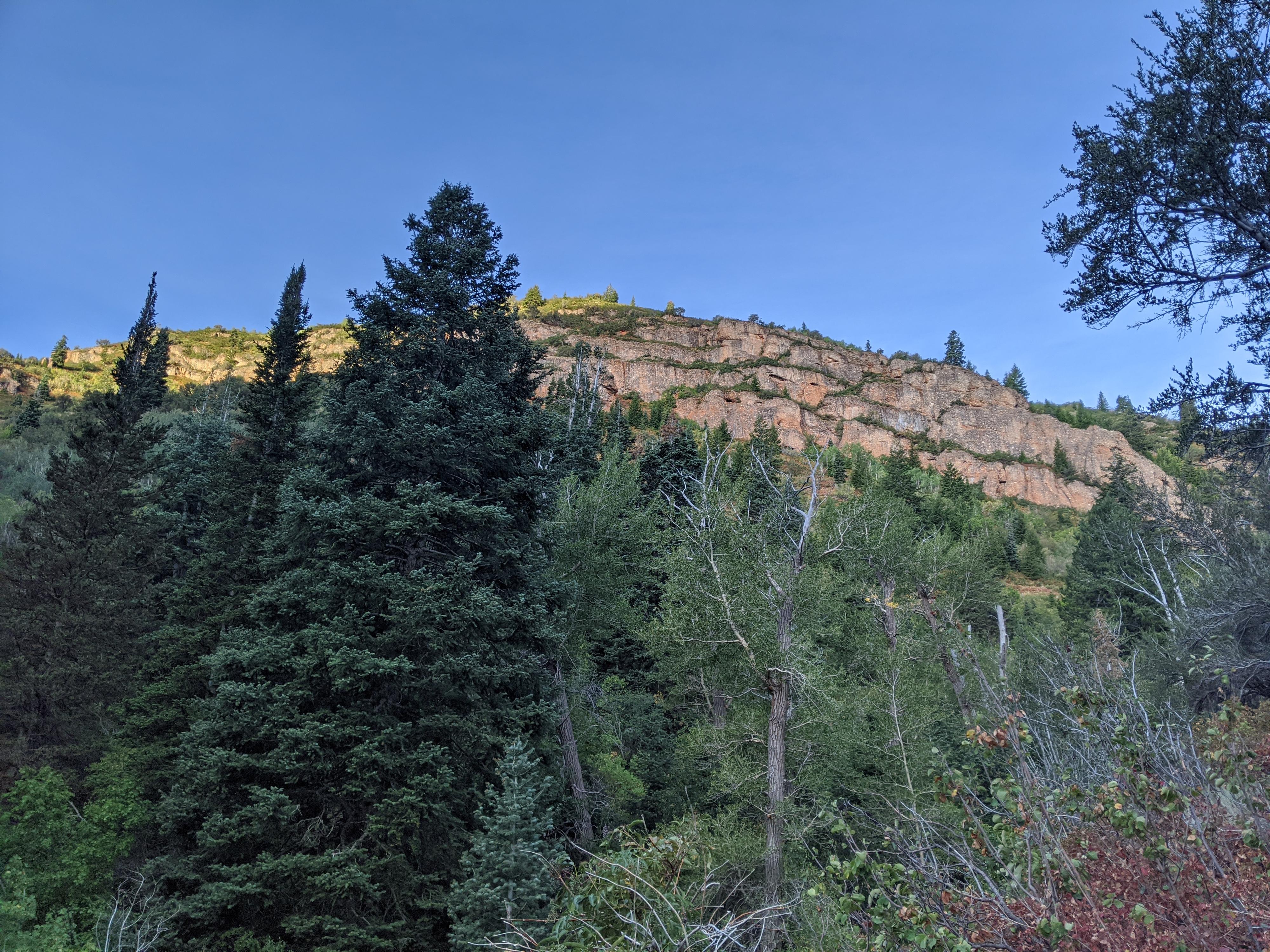
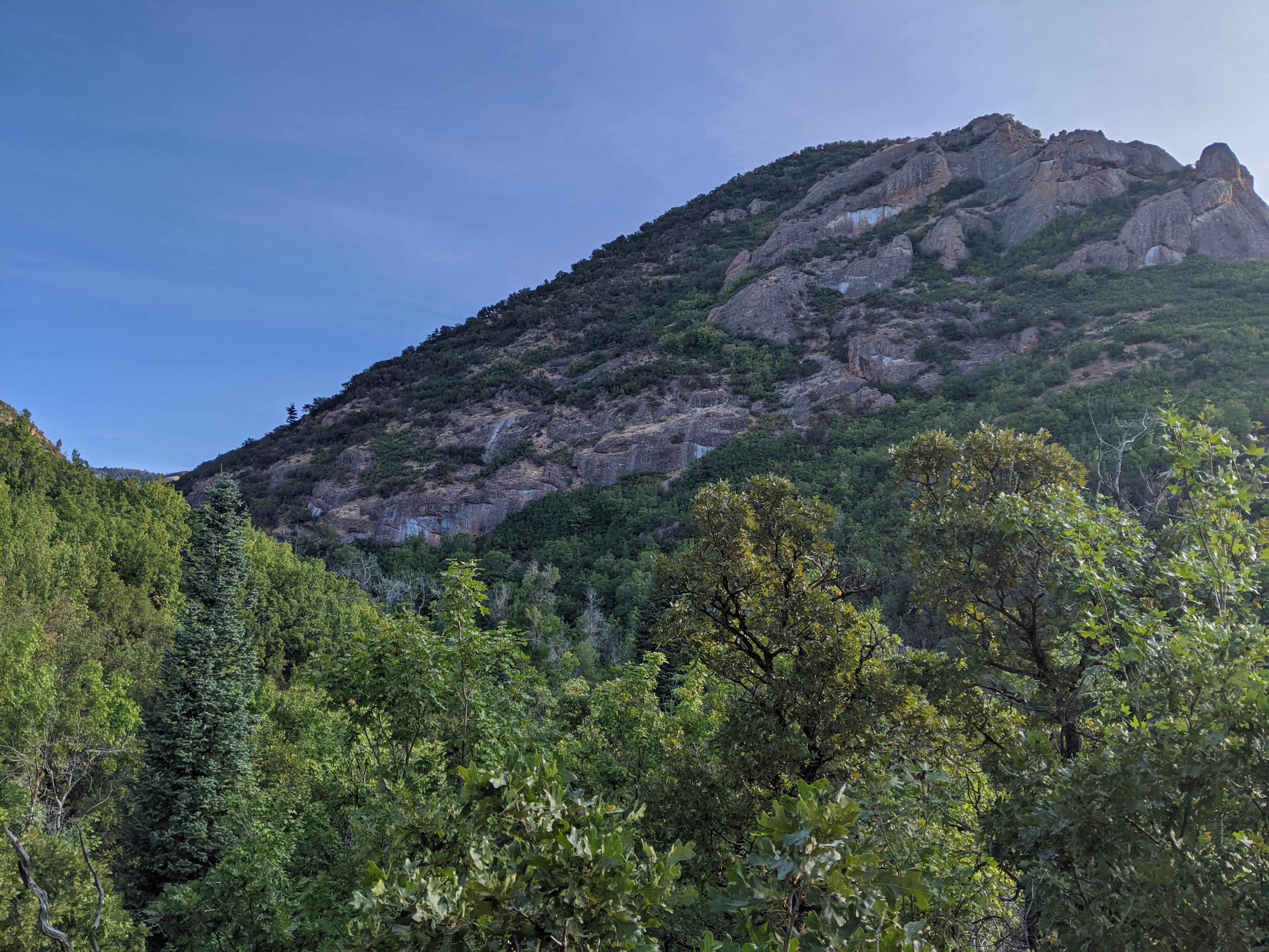
The canyon is made up of conglomerate rock, like lower City Creek Canyon to the west. Unfortunately, the overgrowth only allows for briefs open views of the impressive cliffs that make up the walls of the canyon.
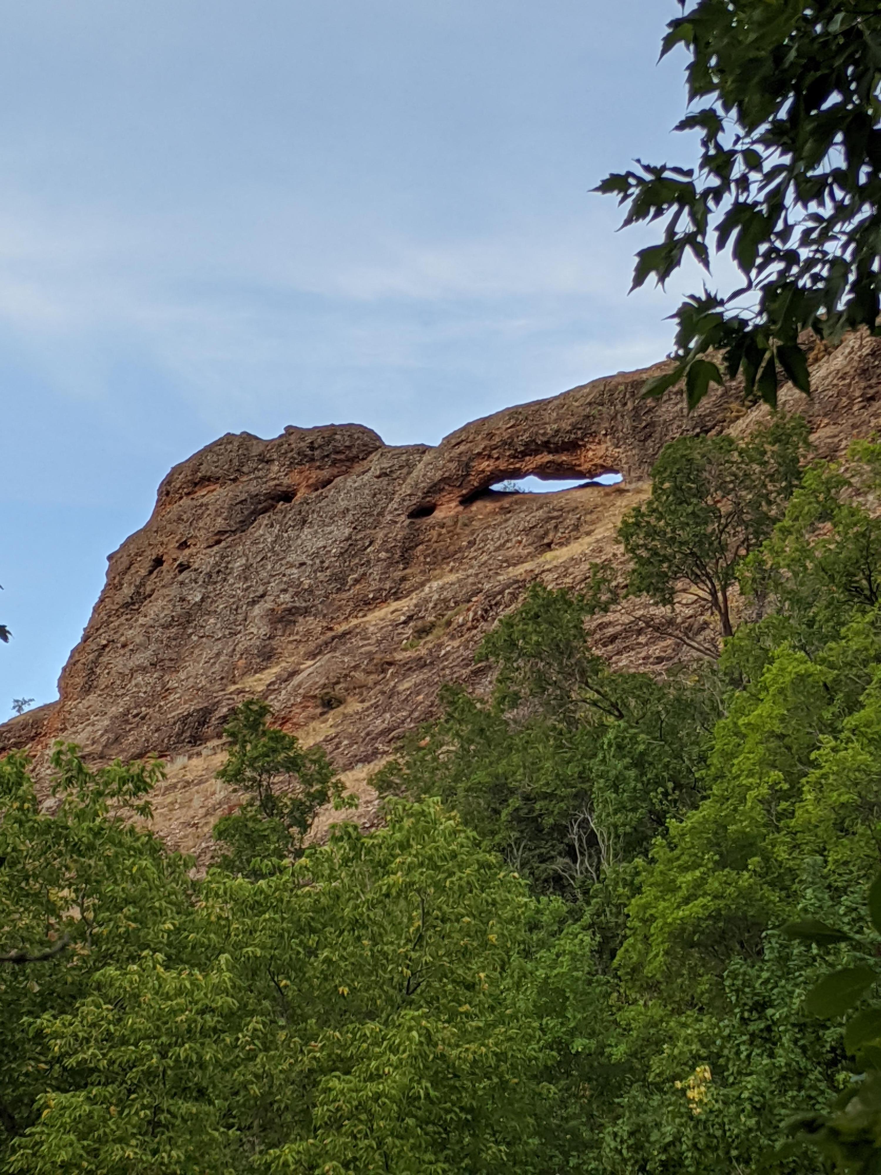
Mountain Dell Canyon holds an interesting surprise! High on the west slopes of the upper canyon is a fairly large arch in the conglomerate rock. It would be hard to visit up close, but is easily viewable from the trail, especially when coming down canyon. So, despite the bushwhack and trail finding difficulties, I thought this was a fun and bit of a unique hike. I have not seen many arches along the Wasatch Front!
Getting There
The road to Affleck Park is closed from about November to May, depending on snow levels.
From Salt Lake City, travel east about 6 miles on I-80 to exit 134 (East Canyon / Little Dell). From exit 134, travel north on UT-65 for 5.3 miles to Affleck Park on the left.
Route Description
From the gate, walk down into the campground. Follow the road across the stream, then turn right and continue along the campground road, heading north. Follow the road to its end, where a trail continues beyond. Continue along the trail a minute or two to where it crosses a bridge over a small stream
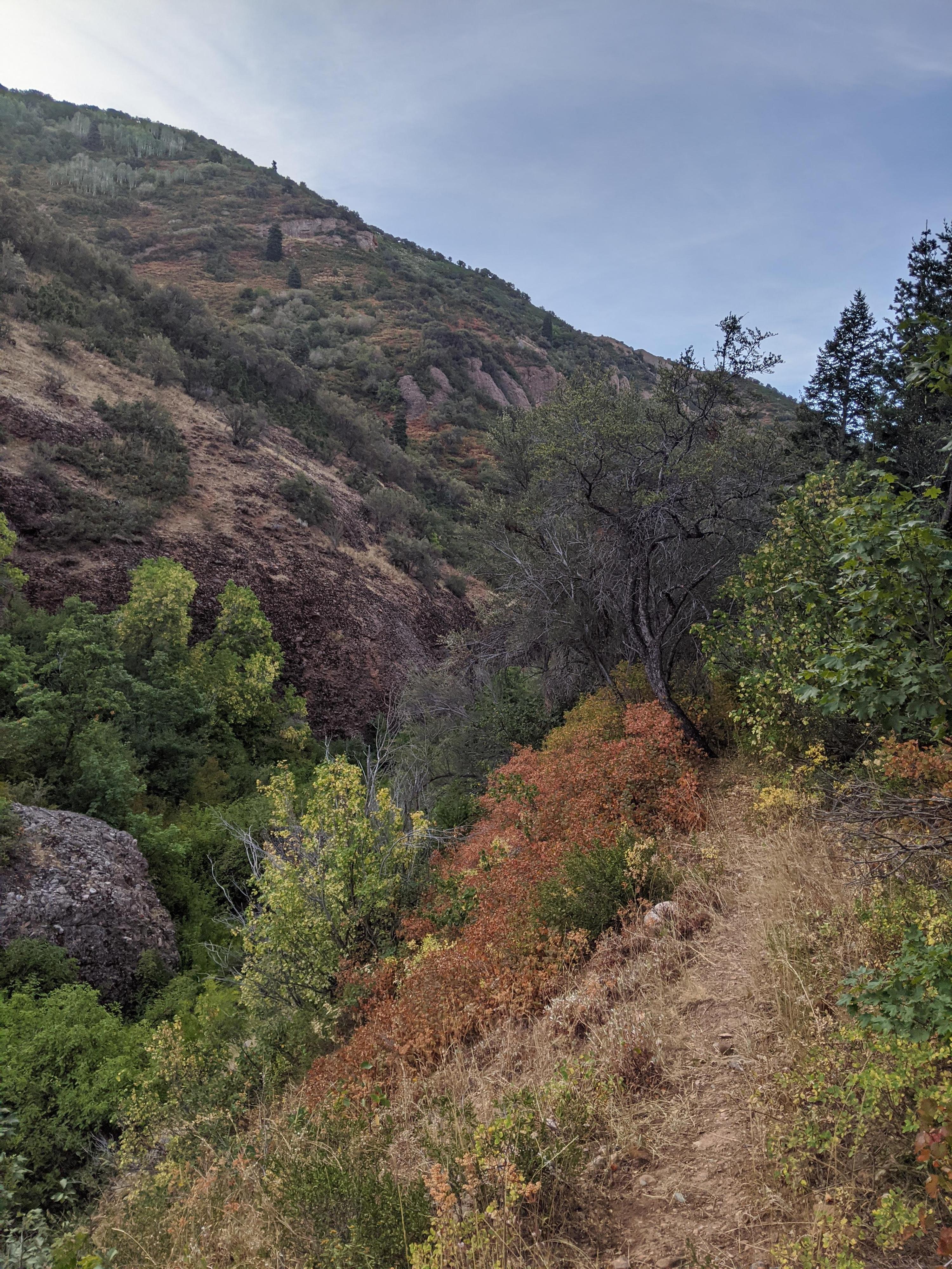
Once across the bridge, look for a lesser used social trail on the left. Follow this social trail as it meanders along the stream. In places it is very overgrown and may require a bit of hunting to find. In other places, it is still well defined and appears to be used occasionally by hikers and frequently by animals. The trail will cross the stream many times, but careful rock hopping should keep your feet dry. If you lose the trail, it is worth taking the time to re-find it.
As the trail nears a side canyon on the left, it steeps and climbs up on the west side of the drainage, then reaches the side canyon proper. The trail seems to end here, or at least I could not find it continuing beyond! The topo maps show it going up the side canyon a short distance, but this seems almost impossibly overgrown. I continued up the main canyon a few minutes, but the overgrown natures finally deterred me. The side canyon seems the best turn around.
Now, on the return, keep an eye out on the right. The arch is visible high on the right. It is obvious, and about 0.3 miles (5-10 minutes or so) down canyon from the turn around.
Maps

12T 442769E 4517985N
40°48'39"N 111°40'43"W
12T 442566E 4518463N
40°48'55"N 111°40'52"W
12T 442450E 4519539N
40°49'29"N 111°40'57"W
12T 442279E 4519937N
40°49'42"N 111°41'04"W