
 Cedar Breaks National Monument
Markagunt Plateau
Overview
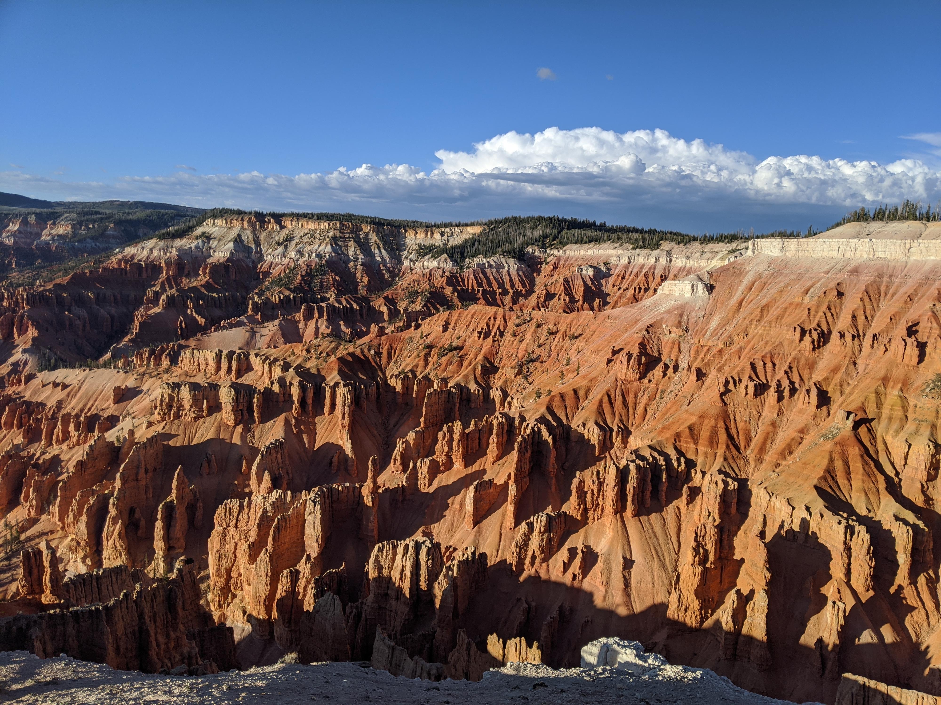
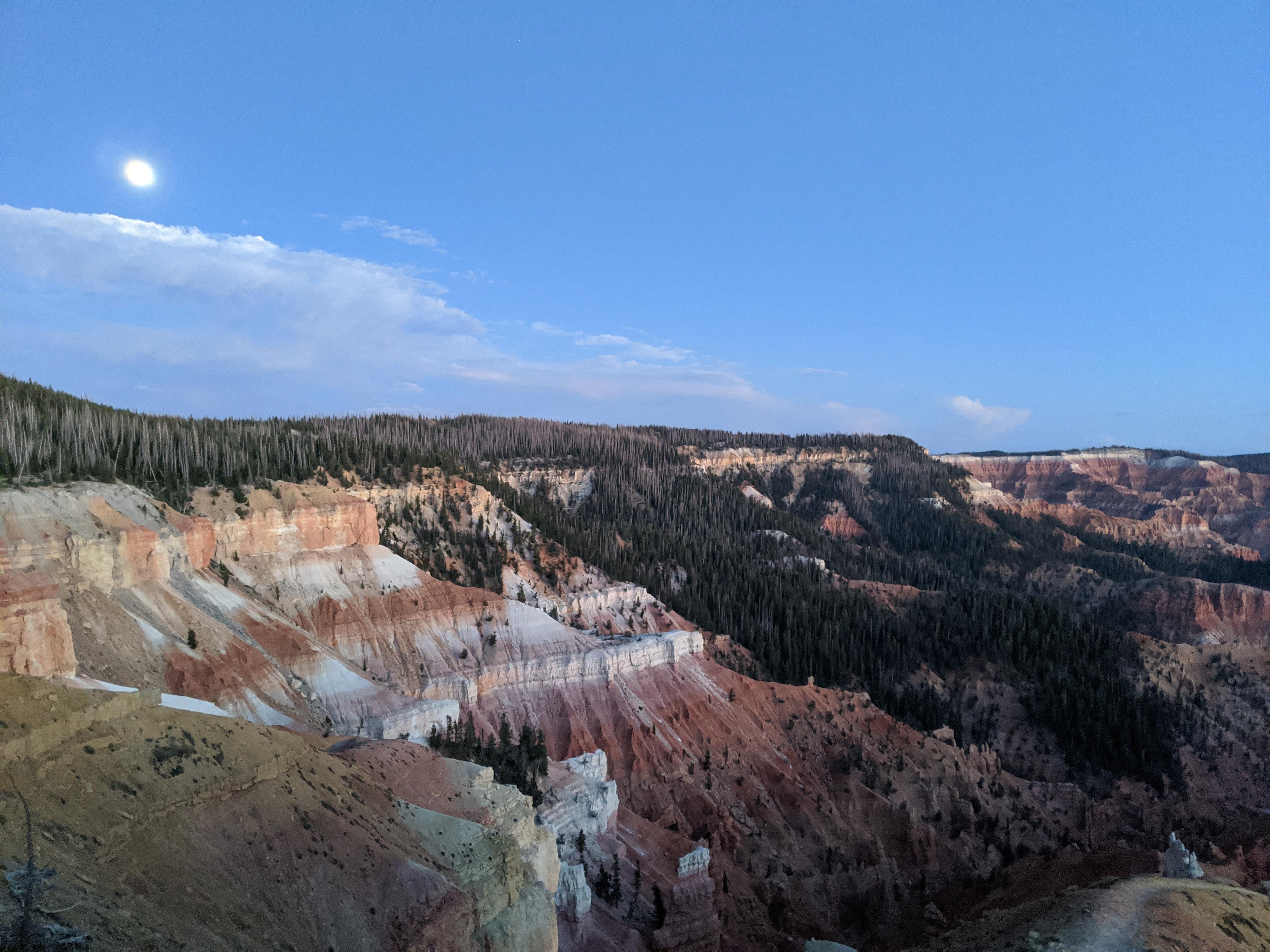
Made a national monument in 1933, Cedar Breaks National Monument encompasses a large eroded amphitheater. The monument gives stunning views of the forbidden landscape below. The amphitheater stretches about 3 miles wide and plunges over 2000 feet from the rim to the valley floor. It is an impressive place to visit.
If the views remind you if nearby Bryce Canyon, it is no coincidence. The geologic layers that created Bryce Canyon are the same that created Cedar Breaks, though the colors a bit more muted at Cedar Breaks. The iron and manganese in the rock are what created the reds and oranges, and the led the native peoples to refer to the area as the Circle of Painted Cliffs.
The monument hosts several overlooks, a small visitor center, a campground, and three hiking trails. The west face of the amphitheater lends itself to stunning sunsets. Though many just visit briefly and move on, I recommend staying for a sunset, it is a magical time at the monument.
Getting There
From Cedar City, travel east on UT-14 for about 18 miles to the junction with UT-148, then follow UT-147 for about 2.5 miles to the monument.
Route Description
All the overlooks are a must-do stops as they each give a quite unique perspective.
The park has only three hiking trails, with only the Sunset Trail allowing leashed dogs.
The Ramparts Overlook Trail (3.6-ish miles round trip and 700’ of elevation gain/loss)
This trail starts at the same parking area as the visitor center on the south side of the monument. Of the three trails in the monument, it is the most strenuous, but also the most dramatic. This is my top recommendation if you only have time for one trail on your visit.
The Alpine Pond Trail (2-mile loop)
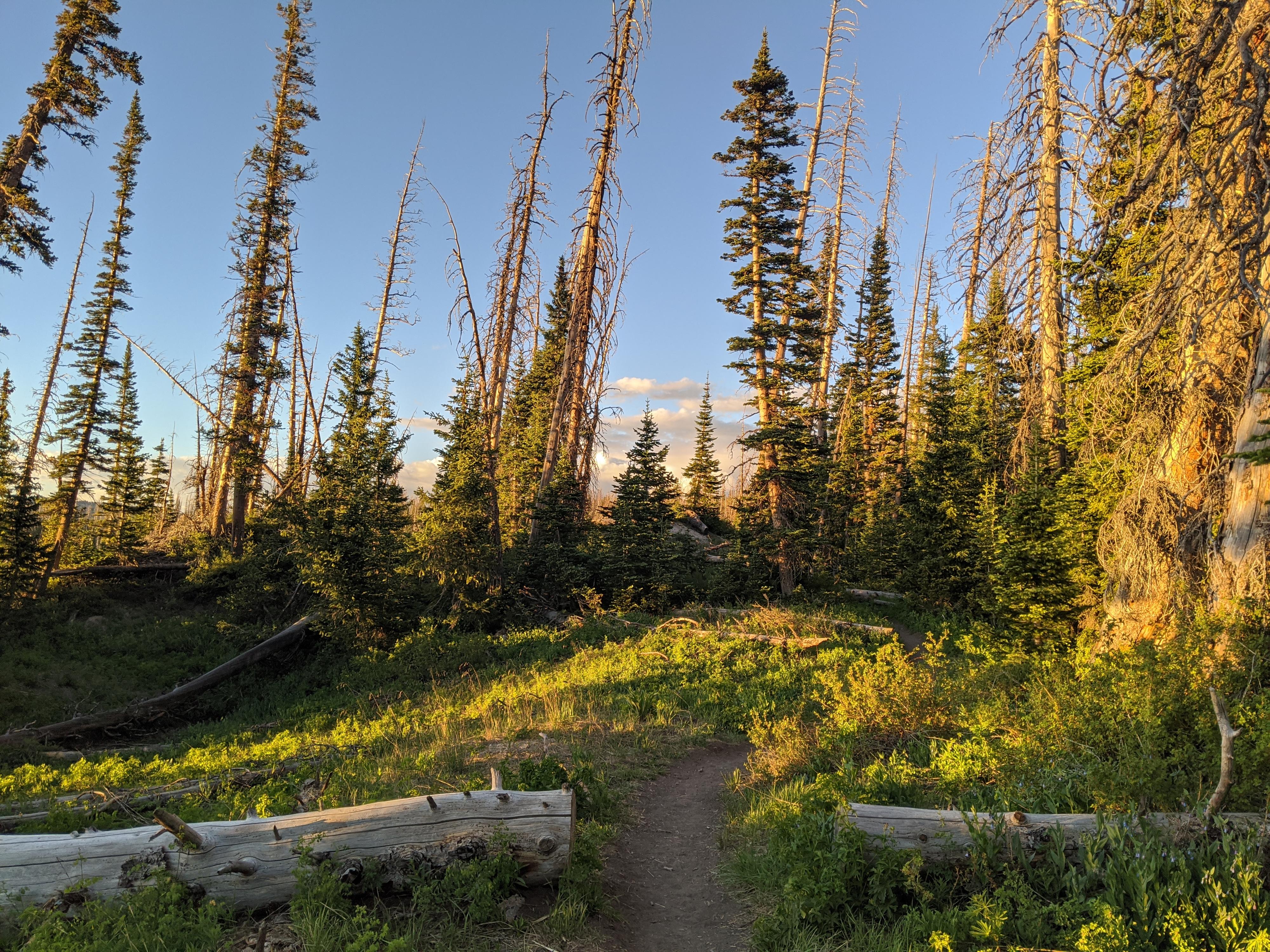
My second recommendation after the Ramparts Overlook Trail is the Alpine Pond Trail. The trail can be started from the north or south and makes a loop around an alpine pond. Though scenic, this trail does not offer many views into the eroded amphitheater. The scenery, however, is forested and lovely particularly at sunset.
The Sunset Trail (1 mile one way)
This is an ADA accessible and pet friendly stroll between the visitor center and Sunset View Overlook. Though near the rim, it does not have the big views of the Ramparts Trail. This was my least favorite trail in the park.
Maps

12S 338184E 4169295N
37°39'24"N 112°50'04"W
12S 339243E 4167627N
37°38'30"N 112°49'20"W
12S 339024E 4167022N
37°38'10"N 112°49'28"W
12S 338333E 4166445N
37°37'51"N 112°49'56"W
12S 338616E 4165293N
37°37'14"N 112°49'43"W
12S 338647E 4165280N
37°37'14"N 112°49'42"W
12S 337757E 4164484N
37°36'47"N 112°50'18"W
12S 337804E 4164347N
37°36'43"N 112°50'16"W
12S 337175E 4164242N
37°36'39"N 112°50'41"W
12S 336335E 4164609N
37°36'51"N 112°51'16"W