 Hiking
Cohab Canyon
Hiking
Cohab Canyon
Capitol Reef
Overview
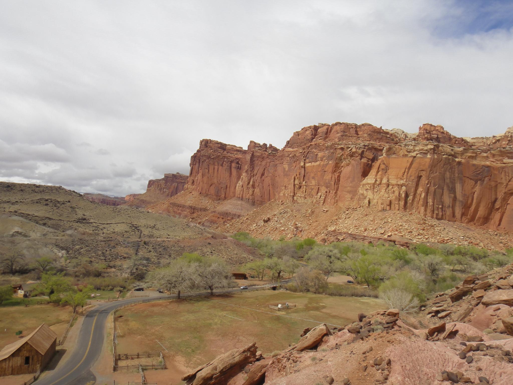
Cohab Canyon was my first hike in Capitol Reef back in the 90's, and it got me hooked. If you have two vehicles, the hike can be done as a through hike, though most will only have one vehicle and do it as an out-and-back. The hike can be done from either the Hickman Bridge Trailhead or Fruita trailhead though I would strongly recommend starting from Fruita since you get the steep part over quickly and come to dramatic views sooner. This description starts from the Fruita side.
Though this hike has a bit of elevation, this is a hike most will enjoy.
Getting There
Campground Trailhead
To reach the trailhead, go past the Capitol Reef visitor center 1.3 miles on the scenic drive. The Cohab Canyon trail is signed. Find parking where you can. There are a few spots along the road.
Hickman Bridge Trailhead (if doing a through hike, leave a vehicle here)
From the Visitor Center, travel east on Highway 24 about 2 miles to the signed Hickman Bridge trailhead on the north (left) side of the road (mile post 81.2). There is a pit toilet here.
Route Description
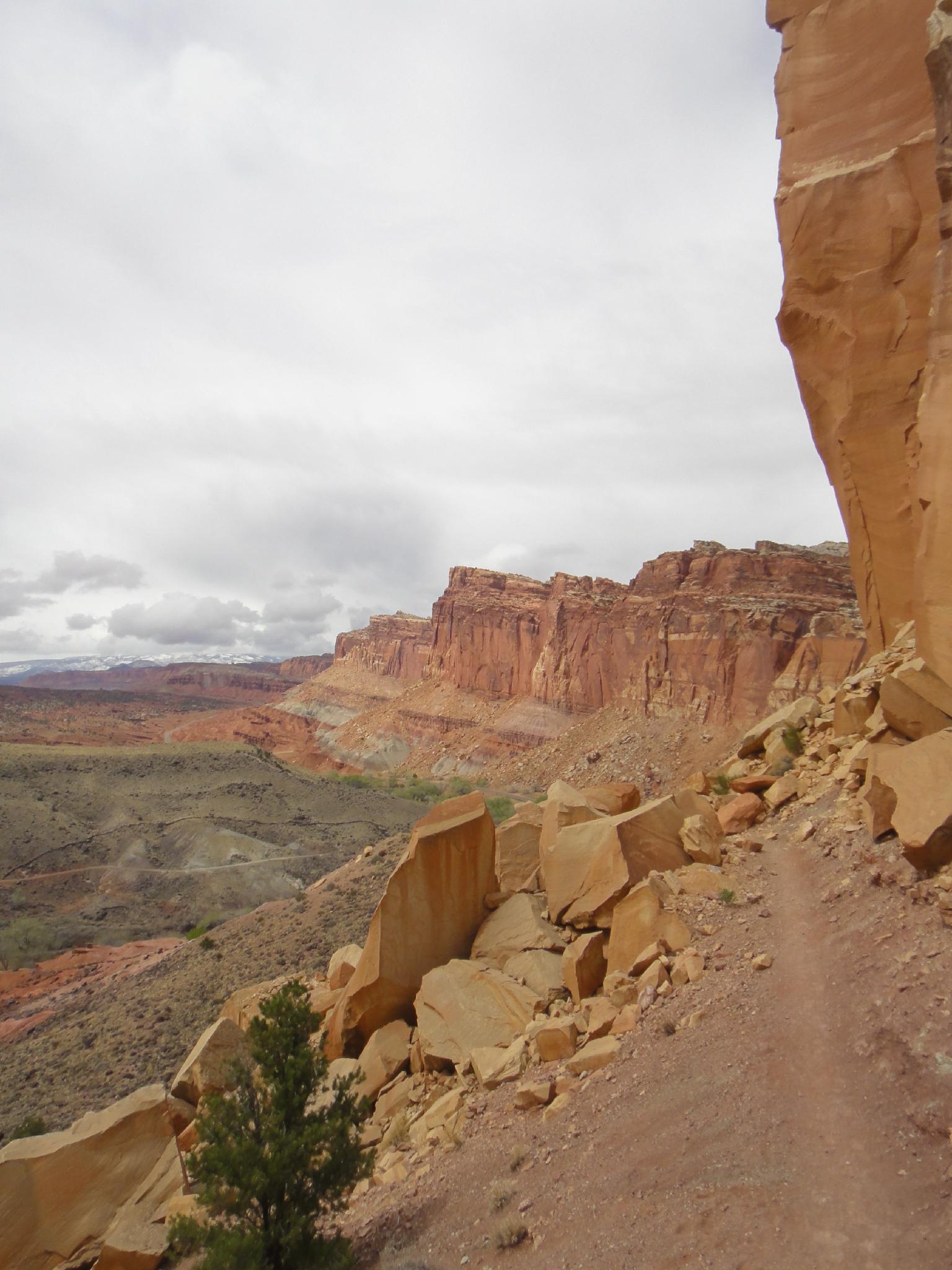
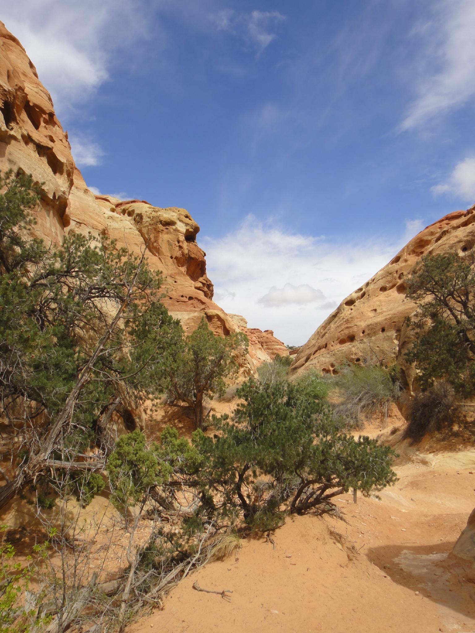
From the Fruita trailhead, climb the steep Cohab Canyon trail for about 25-30 minutes to where it tops out and drops into Cohab Canyon. The saddle here offers amazing views of Boulder Mountain, Fruita, and other areas west of the park.
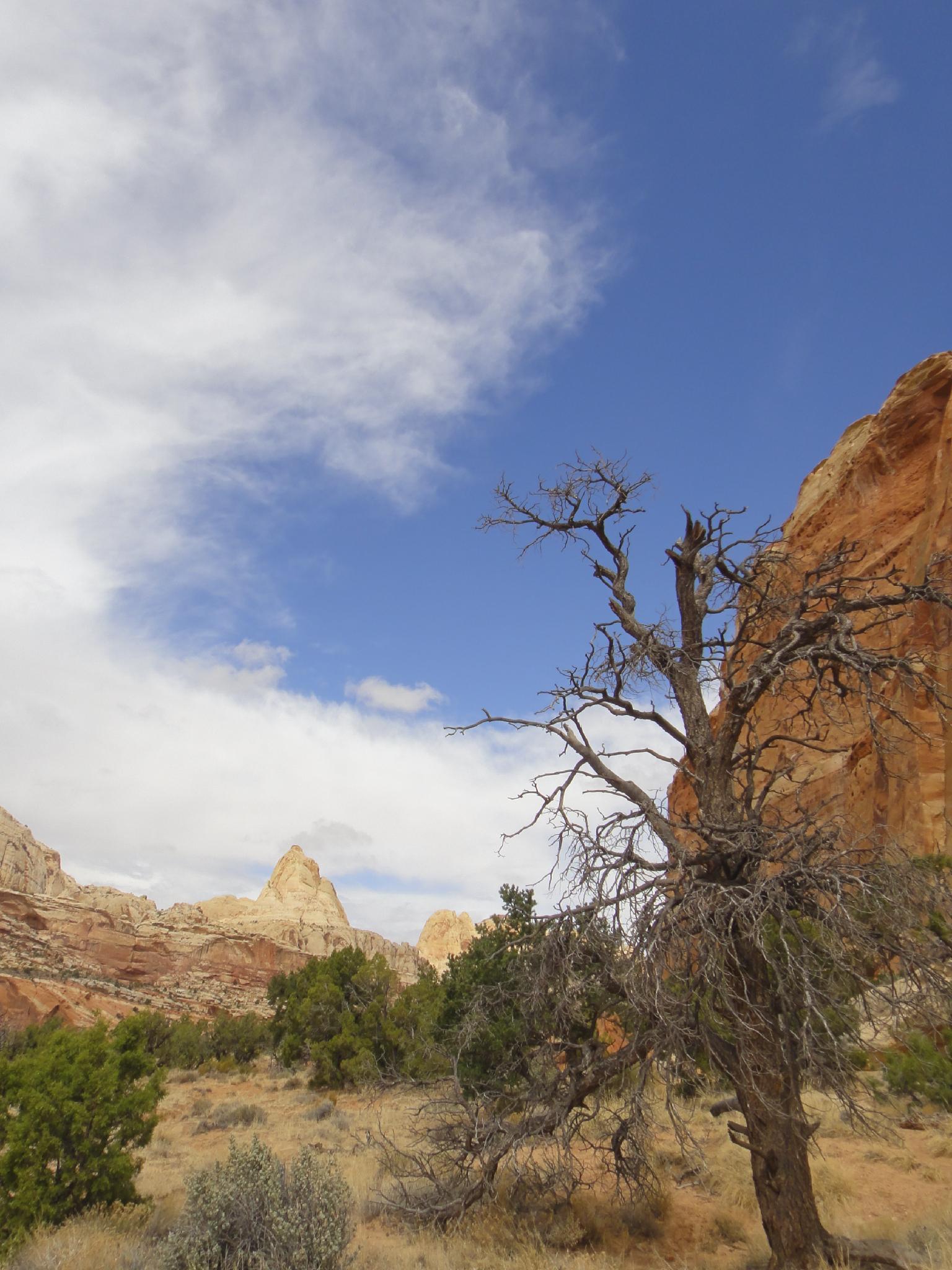
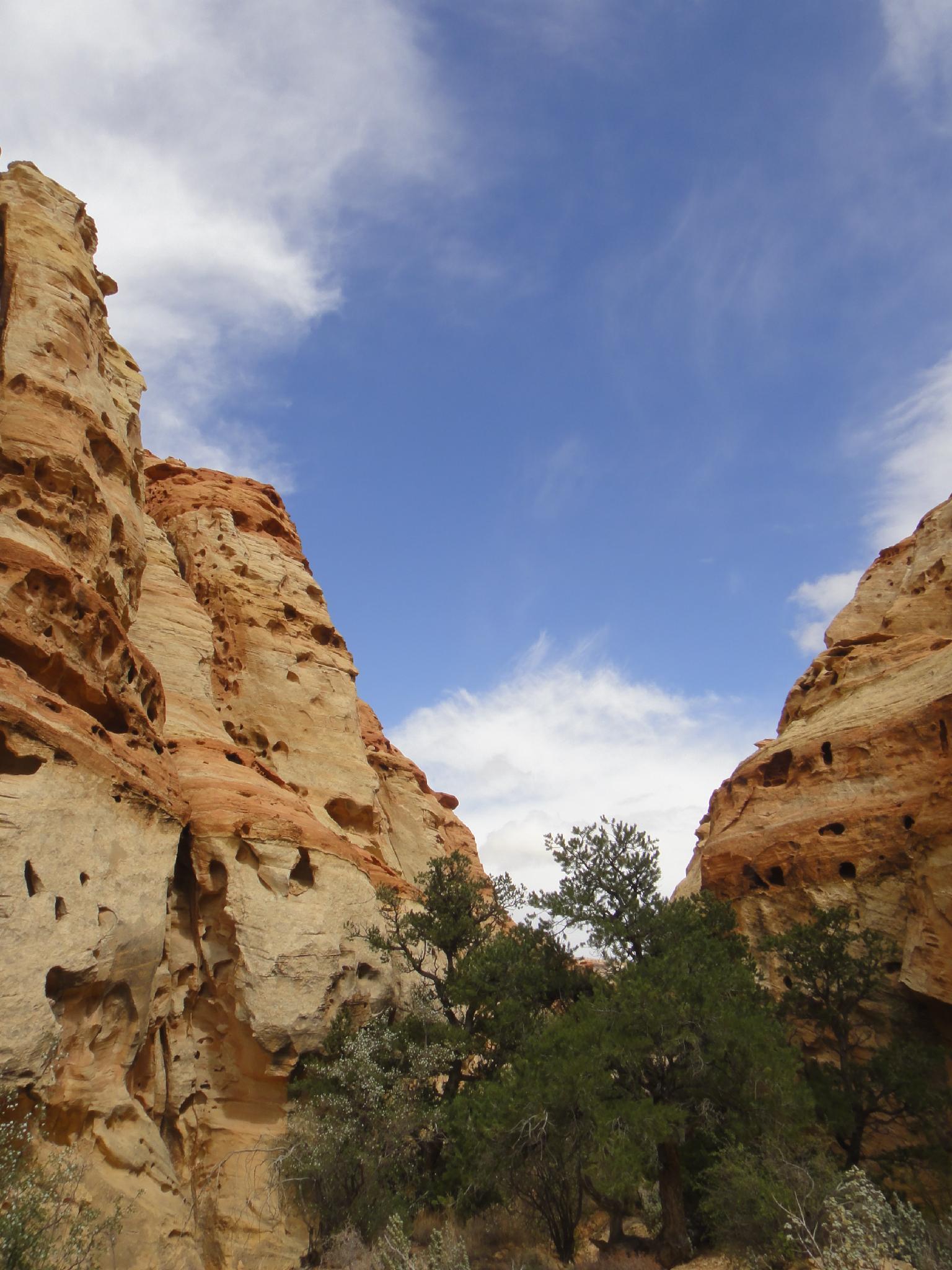
The trail now begins descending the very colorful and featured Cohab Canyon. The Wives, a series of short technical canyons come in on the right-hand side. Wandering up any of the side canyons as far as possible can make a nice diversion.
15 or so minutes from the saddle, as Cohab Canyon becomes wide and open, is a trail junction. Left (north) makes a nice side trip to an overlook of Highway 24 and the Fruita area (20 minutes round trip) while right becomes the Frying Pan Trail and eventually reaches Cassidy Arch. Go straight, which reaches the Hickman Bridge Trailhead in 15-20 minutes. If not doing this as a through hike, the trail junction makes a good turn-around spot to return to the Fruita trailhead.
Maps

12S 478464E 4237199N
38°16'57"N 111°14'46"W
12S 480085E 4237865N
38°17'19"N 111°13'40"W
12S 479459E 4237547N
38°17'09"N 111°14'06"W