Grosvenor Arch | Paria

Roadside Attraction Grosvenor Arch - Paria Roadside Attraction Grosvenor Arch

Paria

Overview

Wed Sunny. High near 61, with temperatures falling to around 59 in the afternoon. Southwest wind 16 to 32 mph, with gusts as high as 52 mph.
61° | 40°
Thu Sunny, with a high near 63. West northwest wind 8 to 16 mph.
63° | 33°
Fri Mostly sunny, with a high near 66.
66° | 35°
Sat Mostly sunny, with a high near 64.
64° | 39°
Sun A chance of rain showers before noon, then a chance of showers and thunderstorms. Partly sunny, with a high near 59.
59° | 37°
RATING: Roadside Attraction
MAPS: BUTLER VALLEY, UT;
SEASON: Any, although summers can be hot.
WATER: None.
Wed Sunny. High near 61, with temperatures falling to around 59 in the afternoon. Southwest wind 16 to 32 mph, with gusts as high as 52 mph.
61° | 40°
Thu Sunny, with a high near 63. West northwest wind 8 to 16 mph.
63° | 33°
Fri Mostly sunny, with a high near 66.
66° | 35°
Sat Mostly sunny, with a high near 64.
64° | 39°
Sun A chance of rain showers before noon, then a chance of showers and thunderstorms. Partly sunny, with a high near 59.
59° | 37°
 Grosvenor Arch
Grosvenor Arch
The path to  Grosvenor Arch
The path to Grosvenor Arch

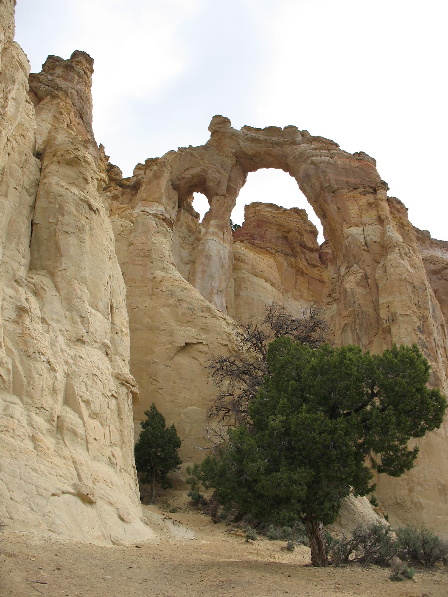
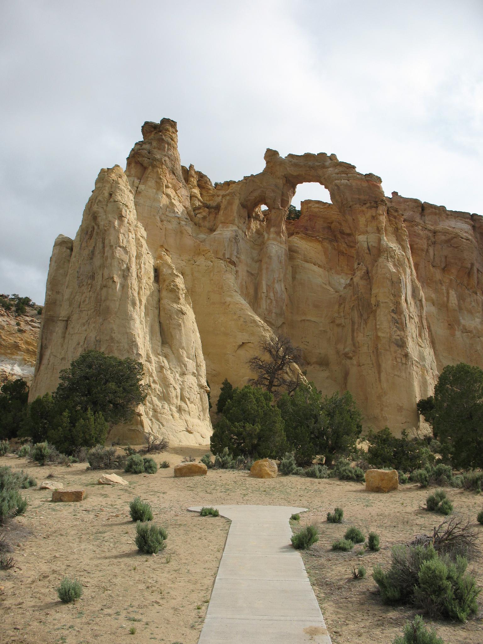
Near Kodachrome Basin, Grosvenor Arch is a must-see if you are in the area. The arch was named after Dr. Gilbert Grosvenor, one of the presidents of the National Geographic Society, after an expedition to the area by the Society. They named the arch after an expedition to the area in 1947. The arch is dramatic and stunning , towering 150 feet up the cliff above the surrounding area and spanning 92 feet.

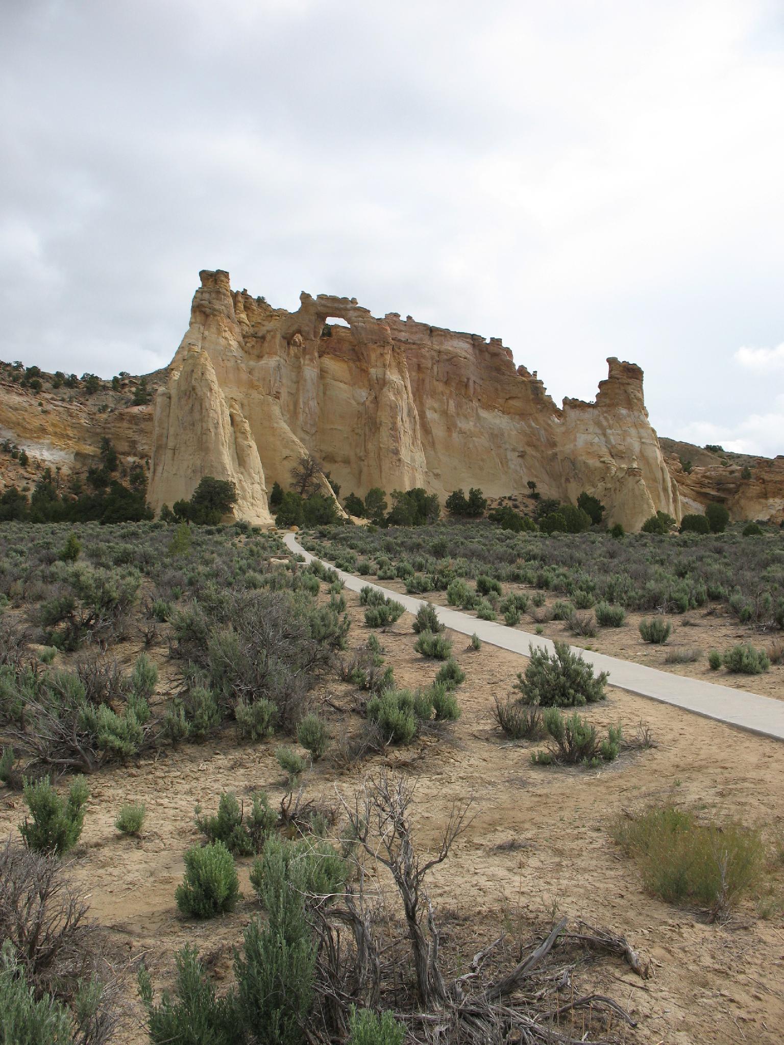
The arch is easy to visit, with a good dirt road that is passable to most vehicles, EXCEPT WHEN WET! Stay out of here if the road is muddy; it can become difficult to impassable quickly. A concrete sidewalk goes from the parking area to the arch, making this accessible to most.

 Grosvenor Arch
Grosvenor Arch
Amazing colors on the drive to Grosvenor Arch

Getting There

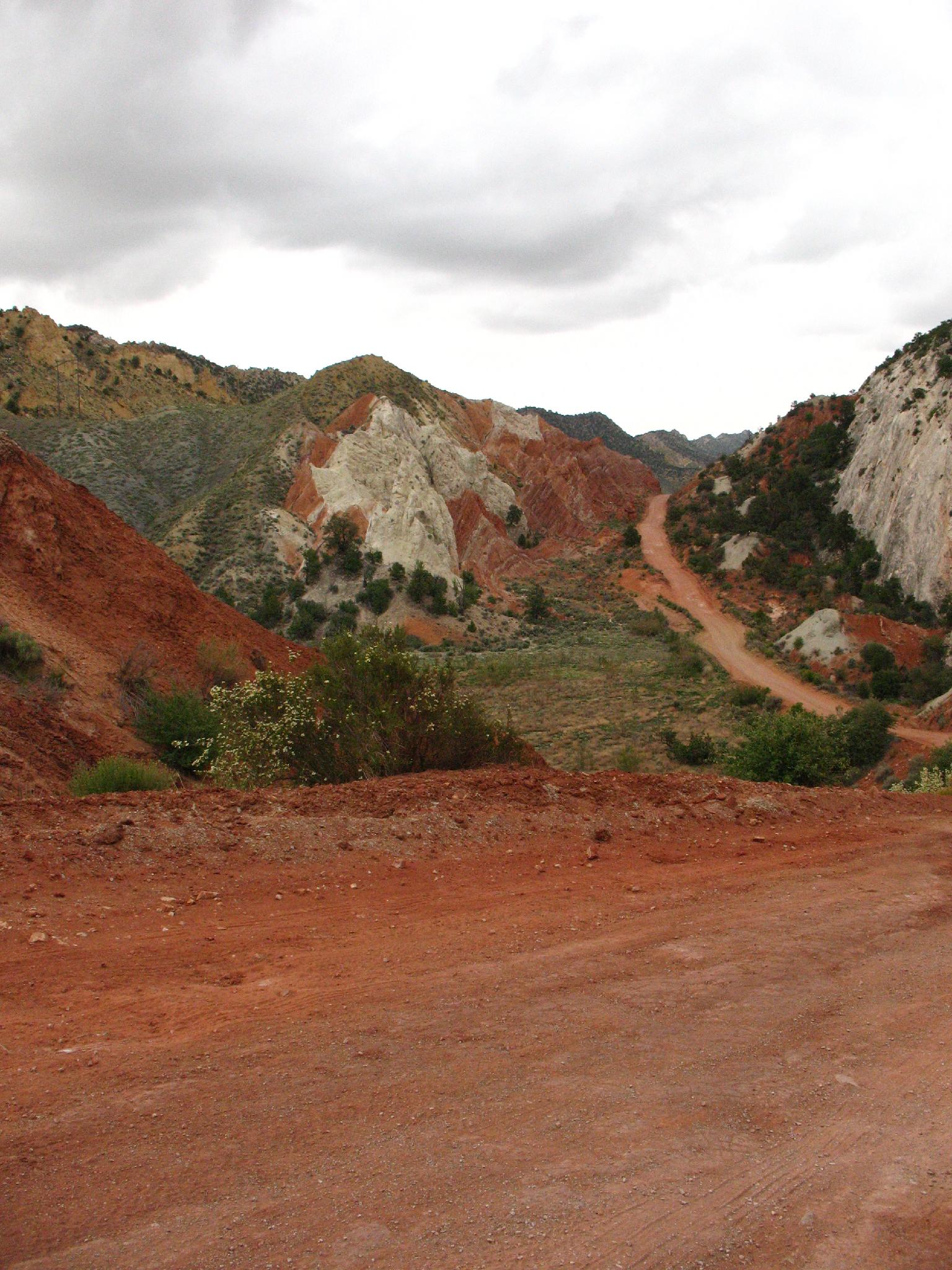
From Cannonville Utah, go south on Main Street. This becomes Kodachrome Road and Cottonwood Canyon Road. Follow this road about 7 miles to the signed junction with Kodachrome Basin on the left.

Reset your odometer at the Kodachrome Basin junction. Stay straight on the Cottonwood Wash Road. Major junctions are listed below, but the goal is to stay on the Cottonwood Wash road for 9.6 miles. 12S 412162E 4150982N / 37°30'06"N 111°59'38"W
0.8 miles, stay left on the main road. 12S 413407E 4150607N / 37°29'54"N 111°58'47"W
1.1 miles - Side road on the left. Stay right on the main road. 12S 413960E 4150457N / 37°29'49"N 111°58'24"W
1.5 miles - Side road on the left, stay right. 12S 414462E 4150303N / 37°29'45"N 111°58'04"W
5.0 miles - Side road on the right, stay left. 12S 419353E 4148924N / 37°29'01"N 111°54'44"W
5.8 miles - Side roads on both sides, stay straight. 12S 420673E 4148933N / 37°29'02"N 111°53'50"W
6.7 miles - Junction, go left. 12S 421531E 4148147N / 37°28'37"N 111°53'15"W
9.6 miles - Grosvenor Arch Jct, go left. The arch is 1.1 miles from this junction. 12S 424892E 4145338N / 37°27'07"N 111°50'57"W

Route Description

The arch is visible from the parking area, though taking the short sidewalk leads to better views!

There are benches and a pit toilet at the parking area.


Photos

Maps

Printable Maps:

Grosvenor Arch
12S 426455E 4145829N 37°27'23"N 111°49'54"W

Comments