
 Kodachrome Basin
Paria
Overview
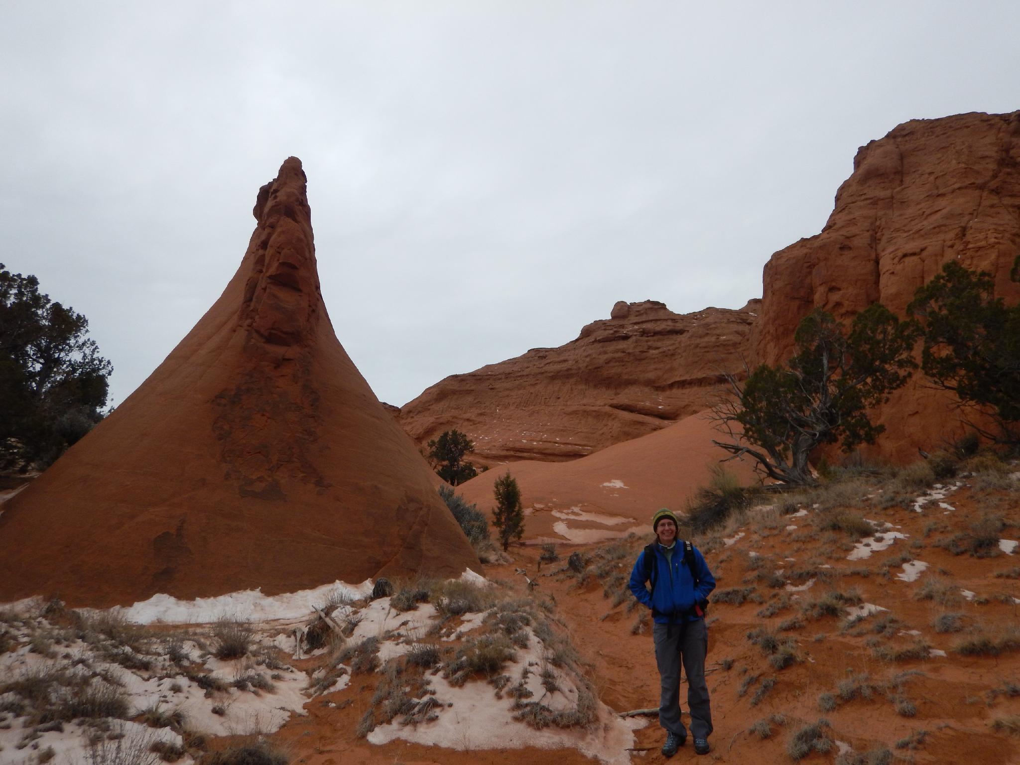
Kodachrome Basin is the place I would recommend if the crowds at Bryce Canyon are getting you down (or the campground is full). Though small, Kodachrome Basin State Park boasts some of the best scenery of any Utah State Park I have been too. Towers, vivid colors, and many short and medium length hiking trails will keep most happily occupied.
The park was named by National Geographic in 1948 after the film they used when visiting the iconic area on an expedition. The name stuck and the park officially opened in 1963. With an excellent campground and far fewer crowds than Bryce, this is a good recommendation to round out a weekend. The park hiking trails will keep a family occupied for a weekend, but a motivated hiker can visit most of the trails in a day.
Getting There
From Cannonville Utah, go south on Main Street. This becomes Kodachrome Road and Cottonwood Canyon Road. Follow this road about 7 miles to the signed junction with Kodachrome Basin on the left. Follow the park road about a mile to the entrance gate.
Route Description
My Trail Recommendations
Angel's Palace Trail: At about 1.5 miles, this makes a good family friendly hike with big views! The loop has several narrow viewpoints that offer breathtaking exposure and many picture opportunities.
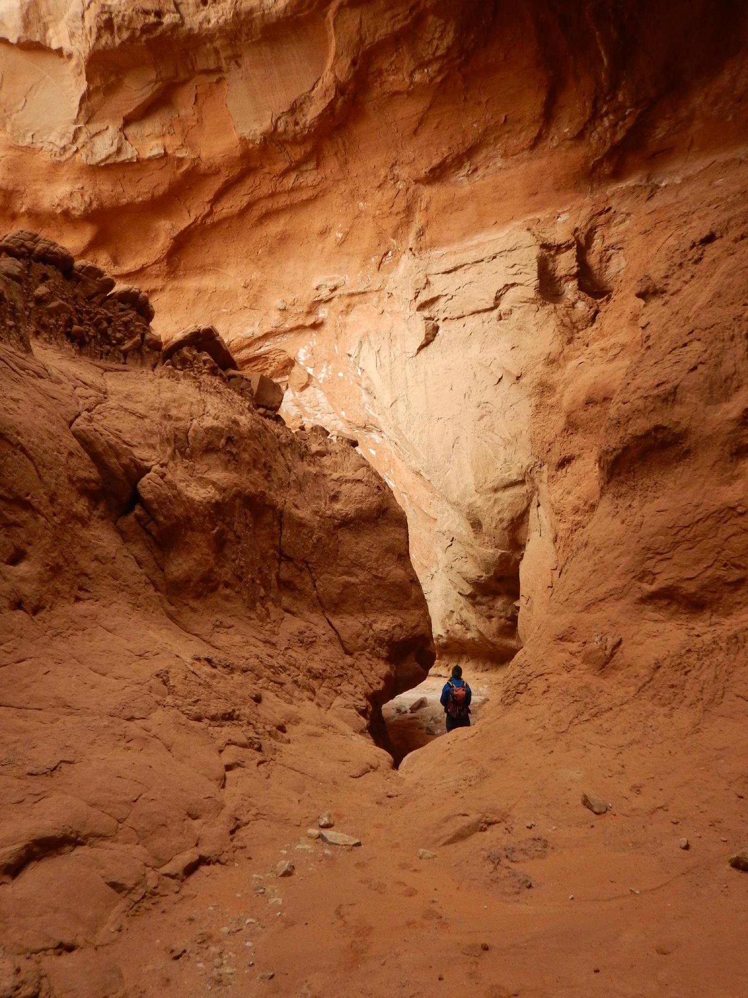
Panorama Trail: Lots of options on this loop, from about 3 miles to 6. I would recommend making the full 6-mile loop if possible. The "Cool Cave" toward the northwest side of the loop is quite neat and tucked in a picturesque canyon. The views from Panorama Point are very good as well.
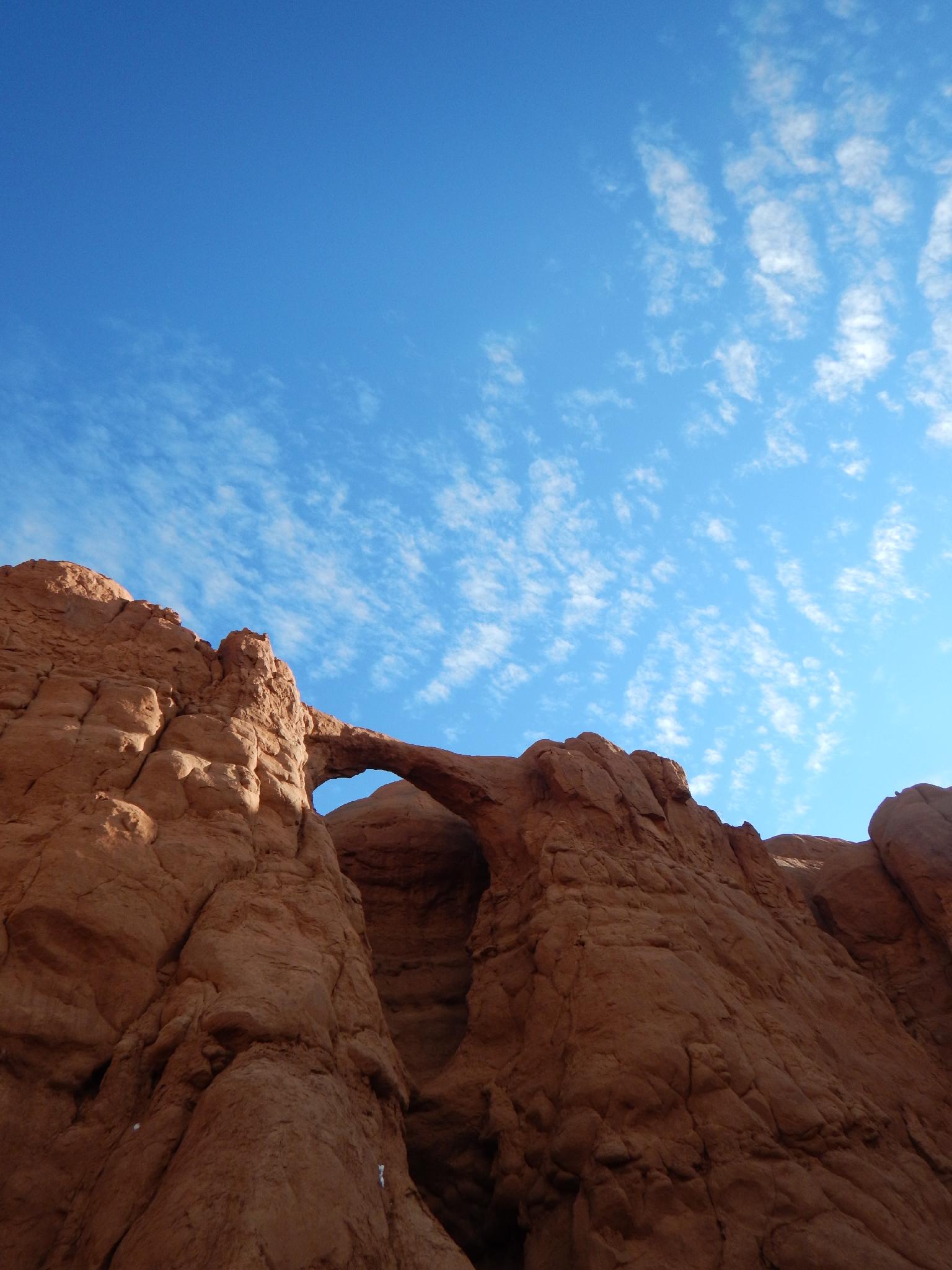
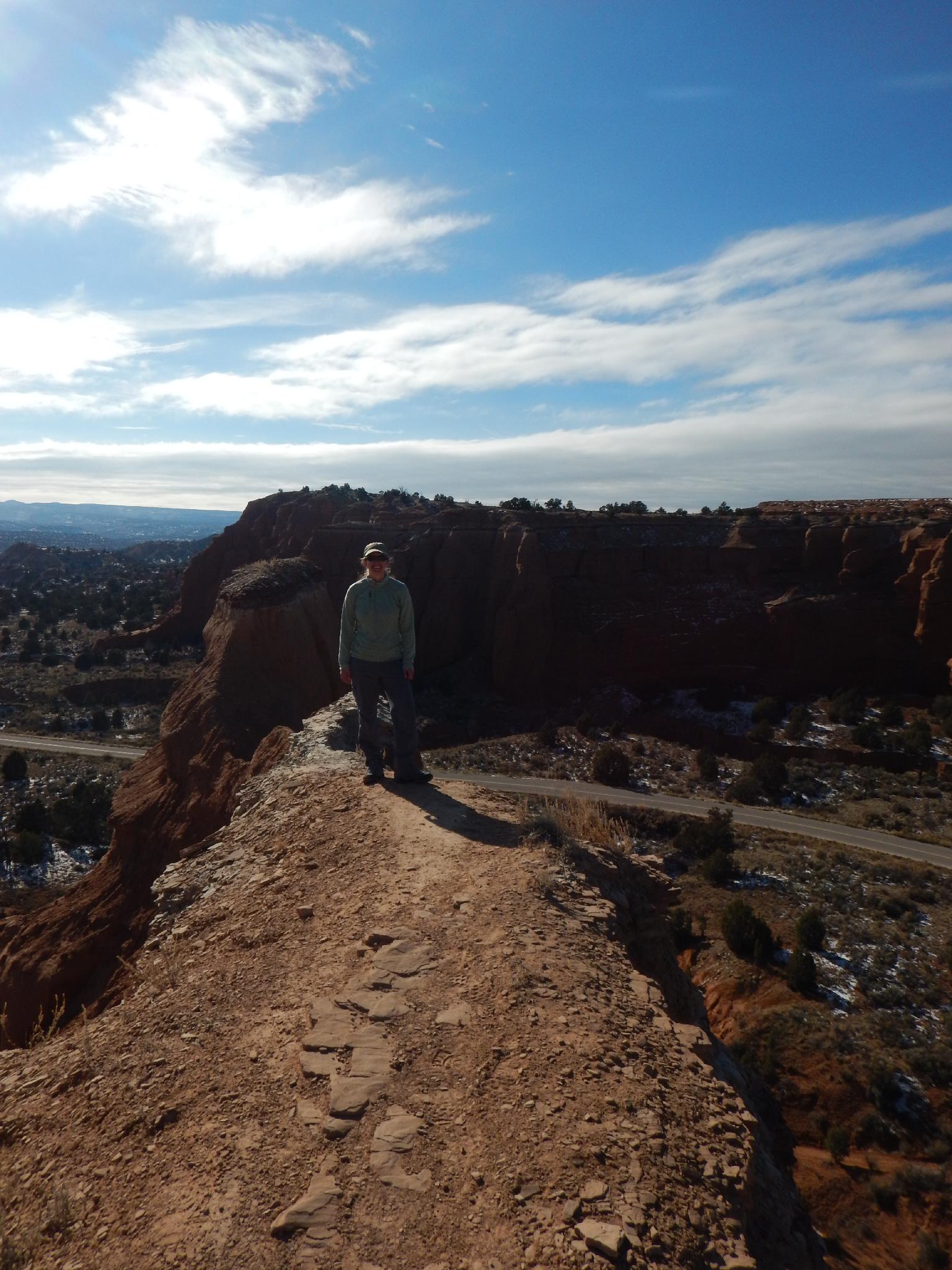
Shakespeare Arch – Sentinel Trail: Two options on this one, both options visit Shakespeare Arch and the Sentinel Trail. On the return, however, the slickrock variation takes an elegant route up and over the hill giving views of Shakespeare Arch from above as well as distance views of the park. The alternate returns via a much less interesting route along the base of the hill. The slickrock variation is highly recommended and only slightly tricky. Most would have no issue with it.
Chimney Rock: Not a hike, but making the drive out to Chimney Rock is recommended and makes a great lunch spot.
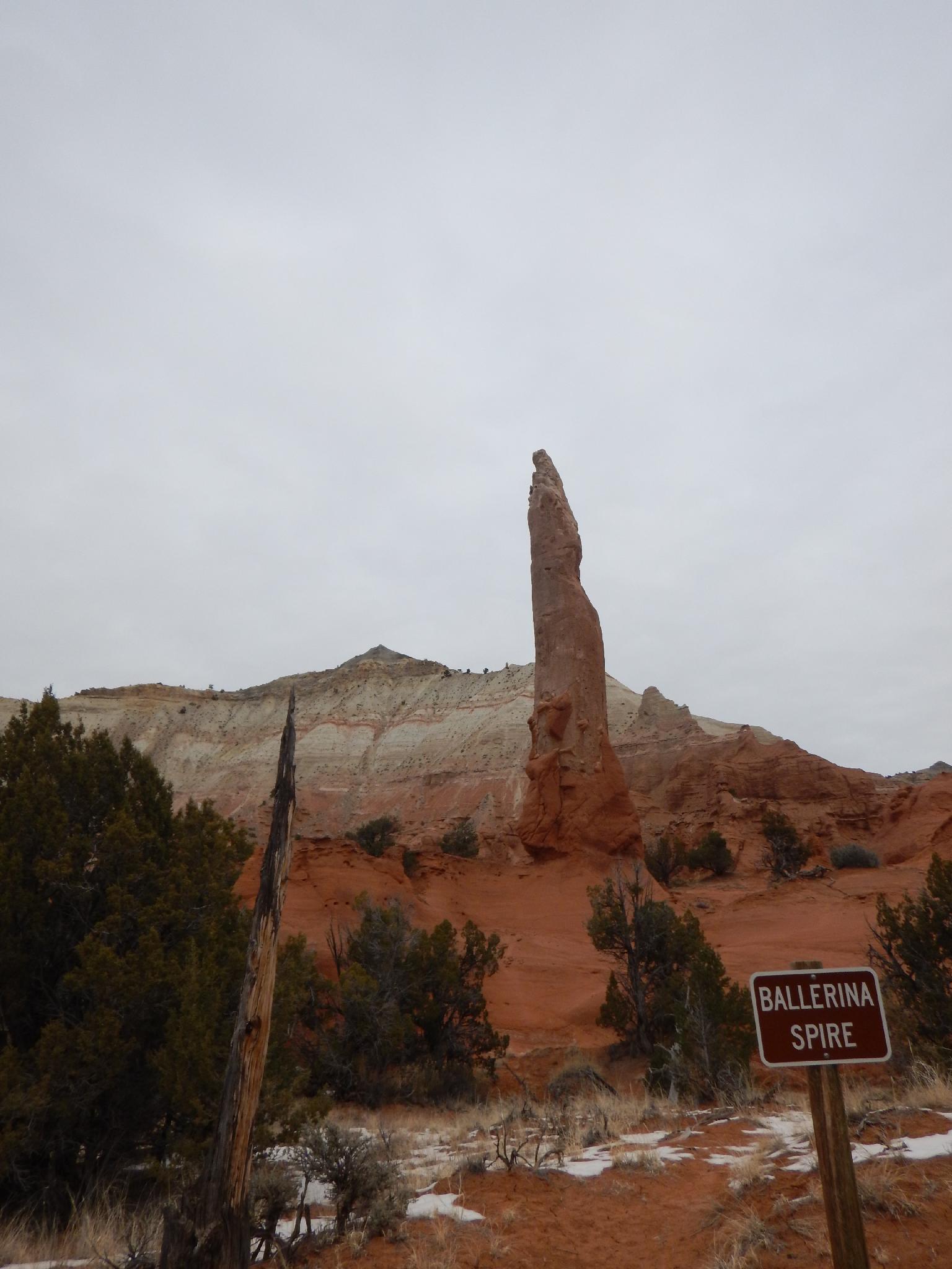
Photos
Maps
")
")
12S 413542E 4151978N
37°30'39"N 111°58'42"W
12S 413208E 4151695N
37°30'29"N 111°58'55"W
12S 413331E 4151424N
37°30'20"N 111°58'50"W
12S 414462E 4153472N
37°31'27"N 111°58'05"W
12S 412309E 4153990N
37°31'43"N 111°59'33"W
12S 412359E 4153326N
37°31'22"N 111°59'31"W
12S 411906E 4153170N
37°31'17"N 111°59'49"W
12S 411945E 4153420N
37°31'25"N 111°59'47"W
12S 411845E 4153727N
37°31'35"N 111°59'52"W
12S 411857E 4153884N
37°31'40"N 111°59'51"W
12S 411308E 4153750N
37°31'35"N 112°00'13"W
12S 411252E 4153690N
37°31'33"N 112°00'16"W
12S 411151E 4153347N
37°31'22"N 112°00'20"W
12S 410626E 4153638N
37°31'31"N 112°00'41"W
12S 410418E 4154268N
37°31'52"N 112°00'50"W
12S 410469E 4153911N
37°31'40"N 112°00'48"W
12S 410881E 4152517N
37°30'55"N 112°00'30"W
12S 411114E 4152937N
37°31'09"N 112°00'21"W