 Hiking
Escalante Petrified Forest State Park
Hiking
Escalante Petrified Forest State Park
Overview
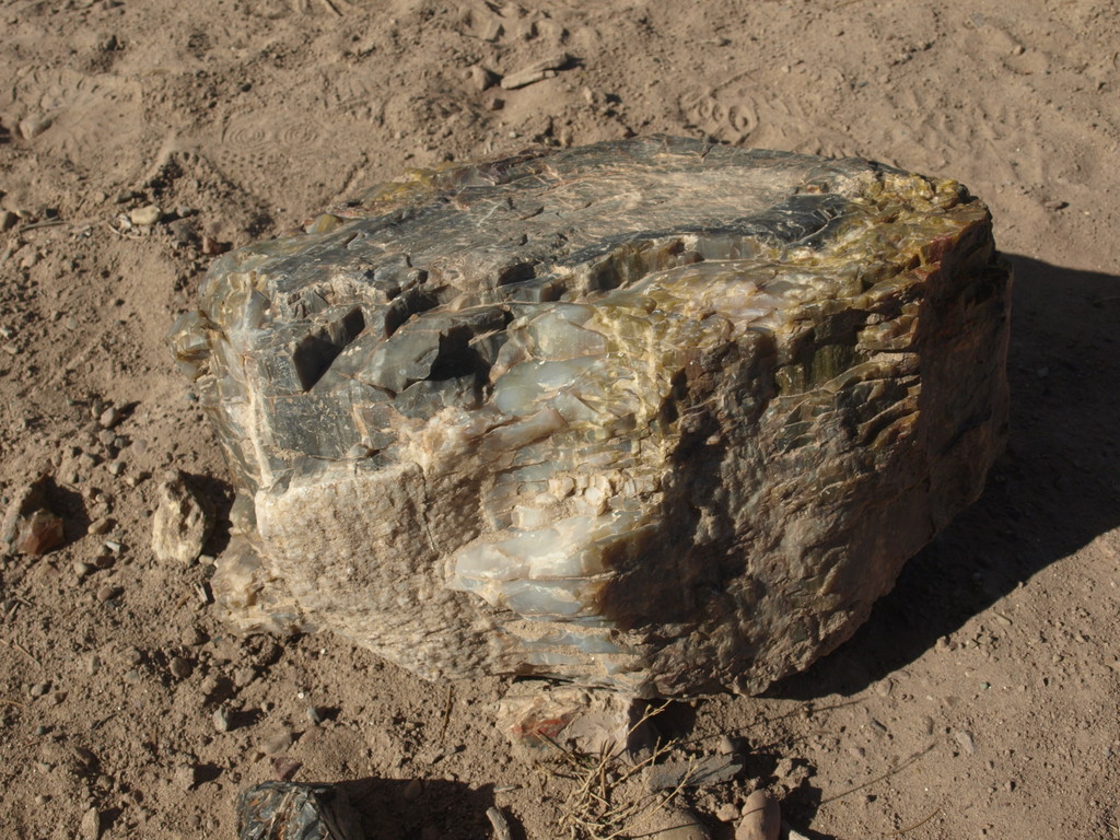
Escalante Petrified Forest State Park is a great family destination. The park was created in 1963, and expanded in 1972 to include shoreline on Wide Hollow Reservoir.While visiting the park there are a full range of things to do including; canoe rentals in the summer, hot showers, full camping hook-ups, and hiking trails.Two hiking trails in the park provide both views of the town of Escalante, as well as the petrified wood specimens.
The State Park is a great destination for camping. Be aware visiting the petrified wood requires a short 1-mile hike with about 200 feet of elevation gain. The hike is easy for most, but not a roadside attraction.
Getting There
Head west out of the town of Escalante on UT-12 about 1.5 miles.Turn right on Reservoir Road. This is signed Escalante Petrified Forest State Park. Follow Reservoir Road about 1 mile to the entrance to the park.
Route Description
Plan an hour for Petrified Forest Trail, 2 hours for both Petrified Forest and Trail of Sleeping Rainbows.
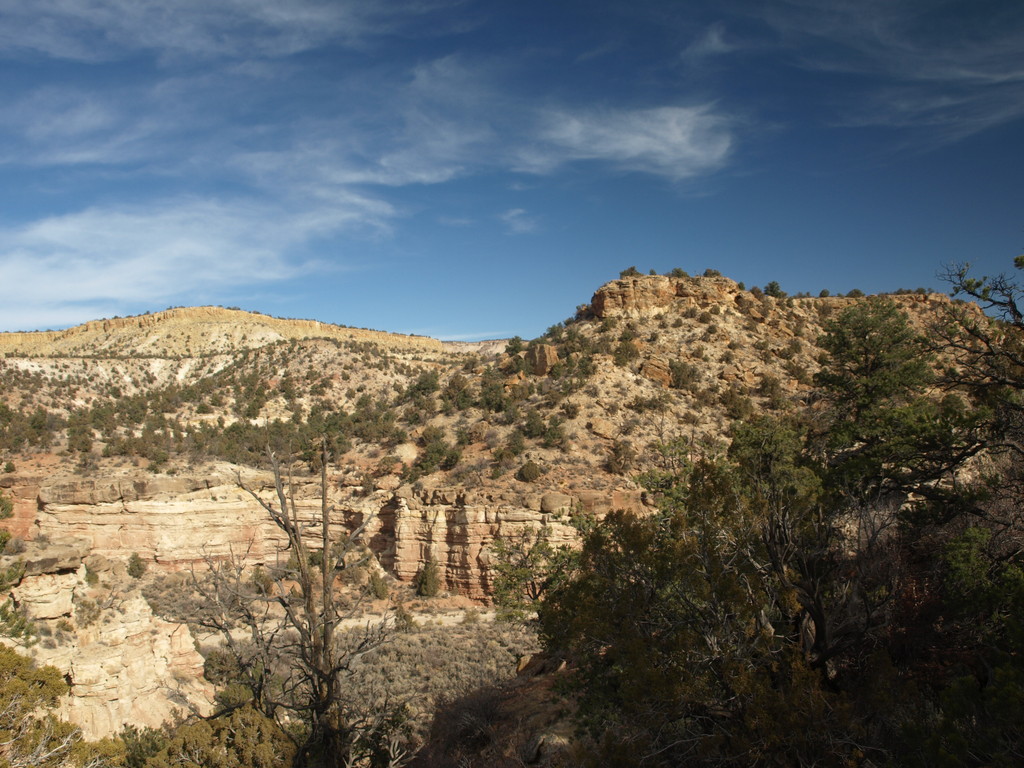
From the park entrance, the trailhead for hiking is on the right/east side just past the visitor building. Be sure to pick up an interpretive pamphlet at the trailhead. The trail begins by winding its way up to the mesa top, before branching where it begins its loop. Go right at the junction, soon admiring the views of the town of Escalante.
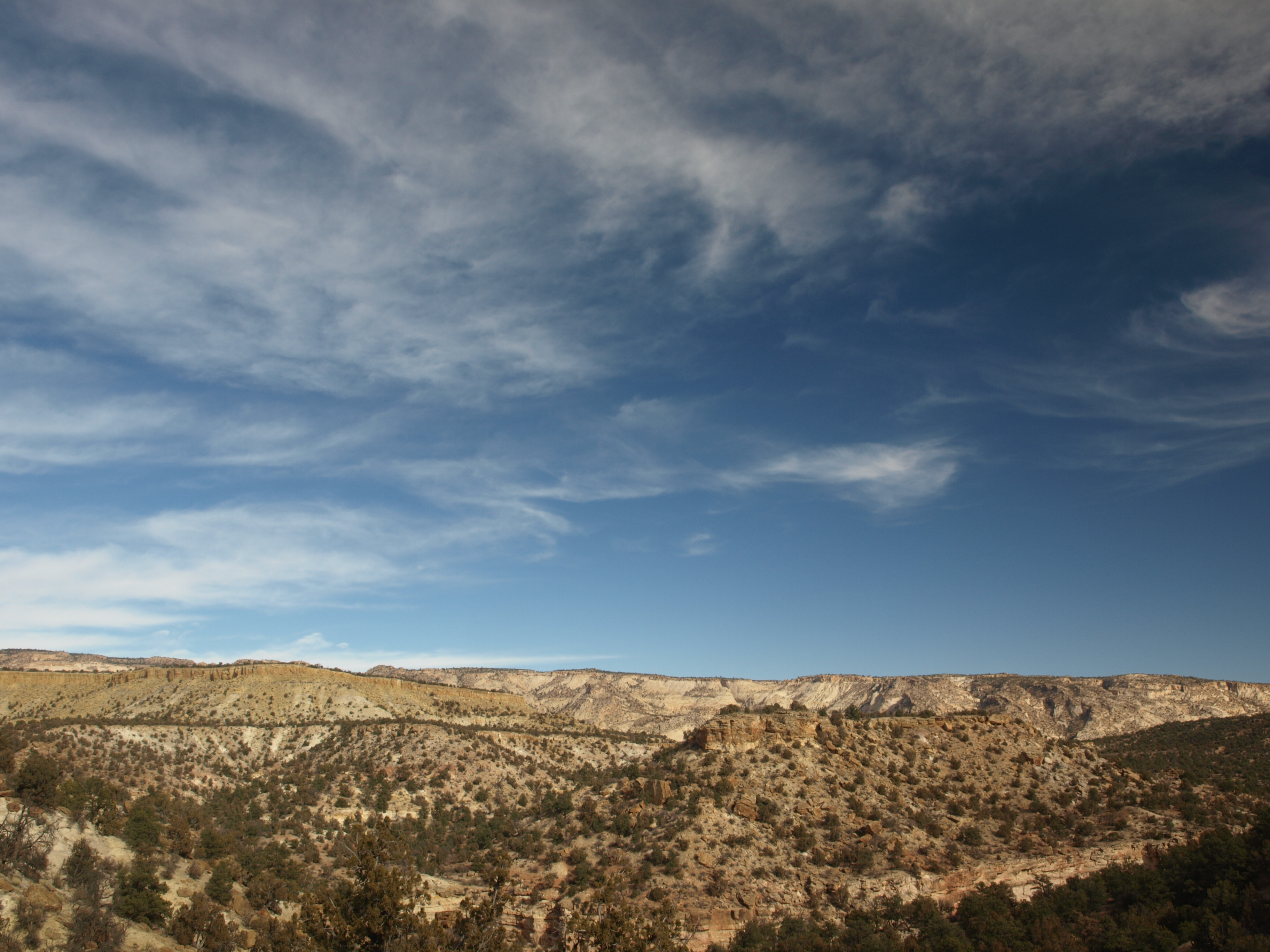
At the next trail junction, the side trail "the Trail of Sleeping Rainbows" goes off the Petrified Forest Trail. It is highly recommended and provides outstanding views of the slickrock country to the north, as well as many great examples of petrified wood.
Follow the main petrified forest trail around its loop, and then back to the trailhead.
Maps

12S 444469E 4182389N
37°47'14"N 111°37'50"W
12S 444805E 4182524N
37°47'18"N 111°37'37"W