 Hiking
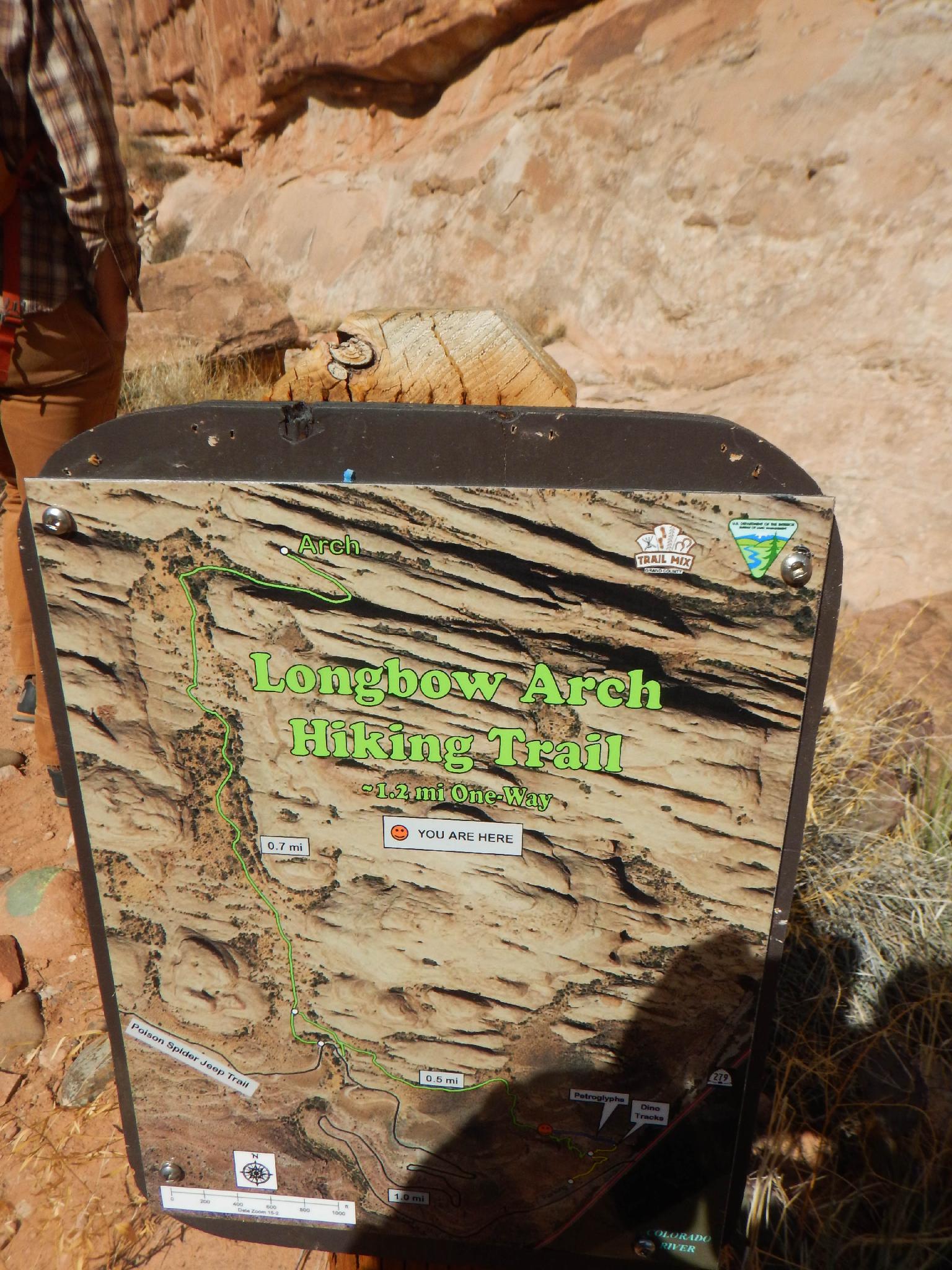
Longbow Arch
Hiking
Longbow Arch
Potash Road
Overview
An excellent family friend hike that is close to Moab, Longbow Arch is a highly recommended evening or morning hike in the summer and a great hike any time during the cooler times of the year. This is an extension to the dinosaur tracks trail. Combining the rock art, dinosaur prints, and arch makes for a pleasant 1/2 day outing with enough diversity to keep most interested.
This is a great addition to the Potash Road Attractions outing that adds on more petrgolyphs/pictographs, and dinosaur prints in addition to the arch hike described here.
Getting There
Go north out of Moab on highway 191 to the Potash Road at milepost 129.8. Reset your odometer here. Major roadside attractions are as follows:
4.3 miles - Wall Street on your right. This area of the road is very popular with rock climbers
5.0 miles - Indian Writings sign and pullout on the south side of the road. The panels are 10-12 feet above the road. Either the bank washed out, or was removed when the road was put in. This has left he panels well preserved.
5.1 miles - Indian Writings sign and pullout on the south side of the road. From the pullout, the panel is clearly visible on the north side of the road a 1 minute walk.
5.2 miles - Not a pullout, but many panels along the cliff band here.
5.7 miles - Poison Spider trailhead 0.1 miles on the right. This is the Longbow Arch trailhead. There is a pit toilet at the trailhead.
Route Description
From the pit toilet at the parking area, follow the social trail. It splits near the cliff at a sign. Go right to visit the petroglyph panel.
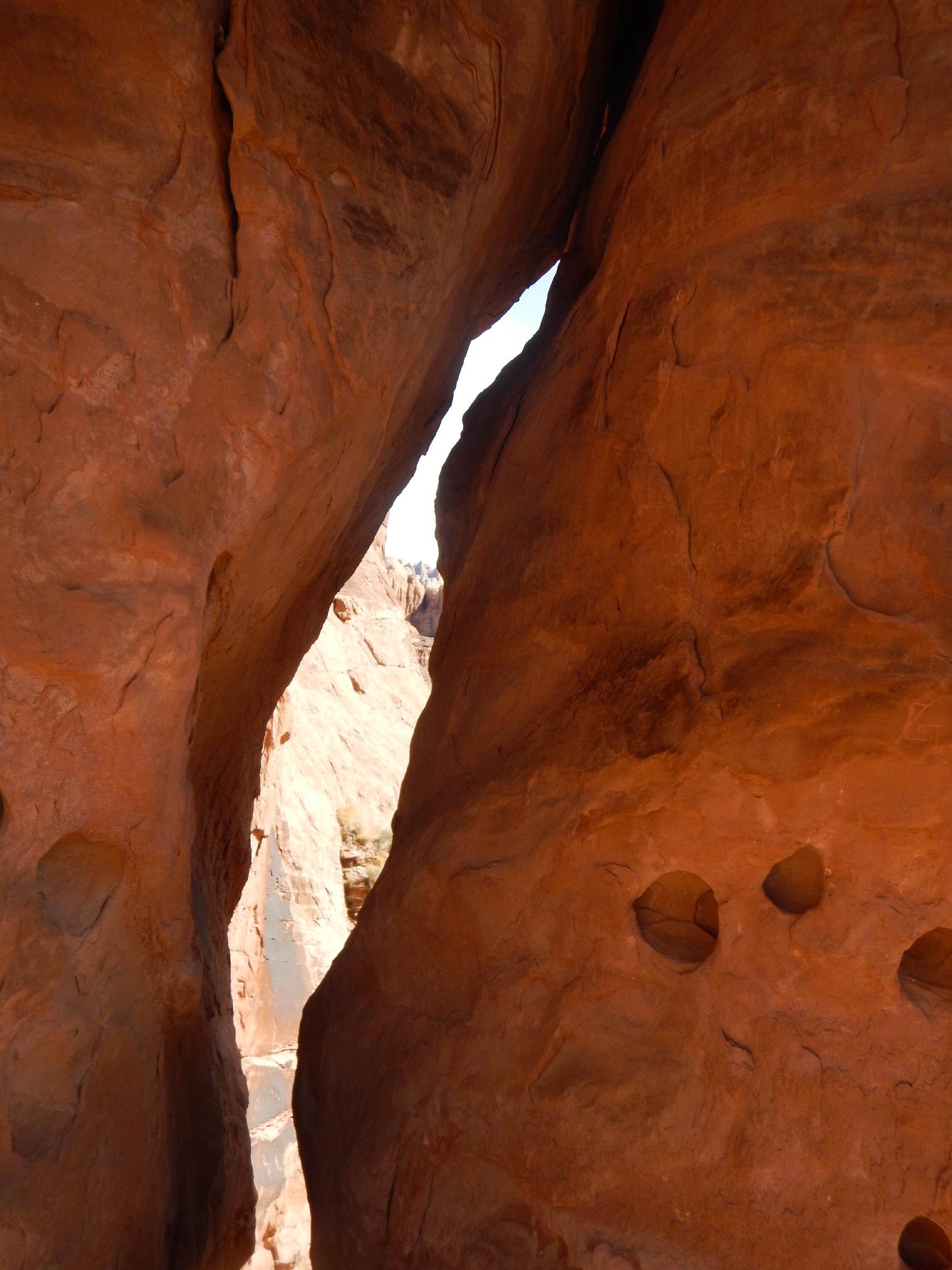
Go left, following the painted blazes on the rock and well worn social trail. The trail meanders near the Poison Spider Jeep Trail, then continues due north up a wide canyon.
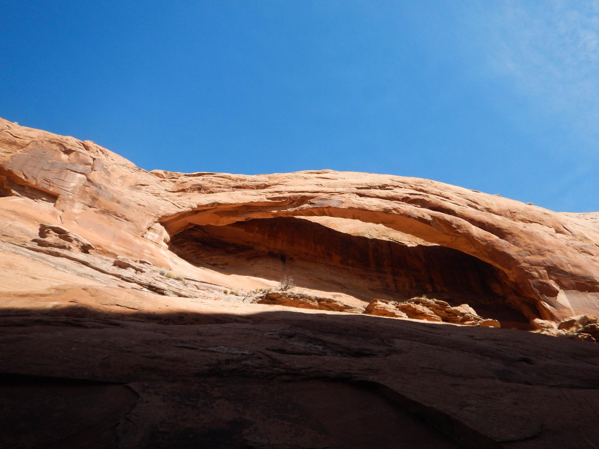
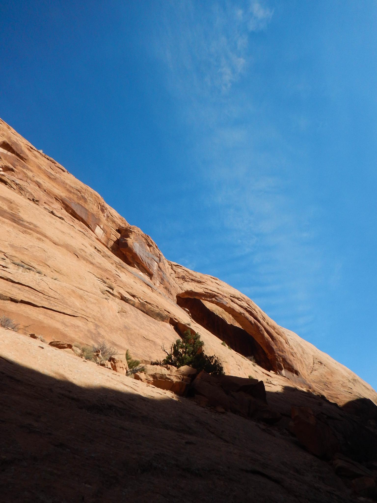
Near the head of the canyon, the trail cuts right (east) a short distance up a side canyon to the prominent Longbow Arch on the left cliff wall. The arch has a span of approximately 60'.
Return the same way.
Maps

12S 621252E 4265854N
38°31'58"N 109°36'32"W
12S 620867E 4266883N
38°32'32"N 109°36'47"W