 Hiking
Dog Lake
Hiking
Dog Lake
Millcreek Canyon
Overview
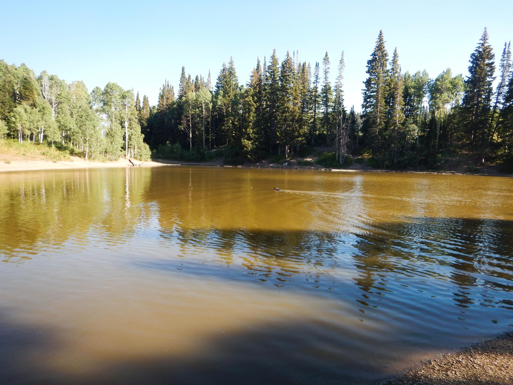
If you are a dog owner in Salt Lake County and haven't taken your dog to Dog Lake, you’re missing out! This is one of the most popular outings for hikers with dogs along the Wasatch Front. The lake, situated on the ridge between Big Cottonwood and Millcreek, is open to dogs, provided you visit from the Millcreek side. If you don't have a dog or are dog-averse, you can visit from the Big Cottonwood side which is closed to dogs until near the lake.
On a given summer evening after work or summer/fall weekend, you may see a dozen or more dogs romping around the shore and swimming for sticks at the lake. It is quite the scene, and a lot of fun for both dogs and their human companions. Be sure your dog is social and you bring a few bags to clean up after him or her along the trail.
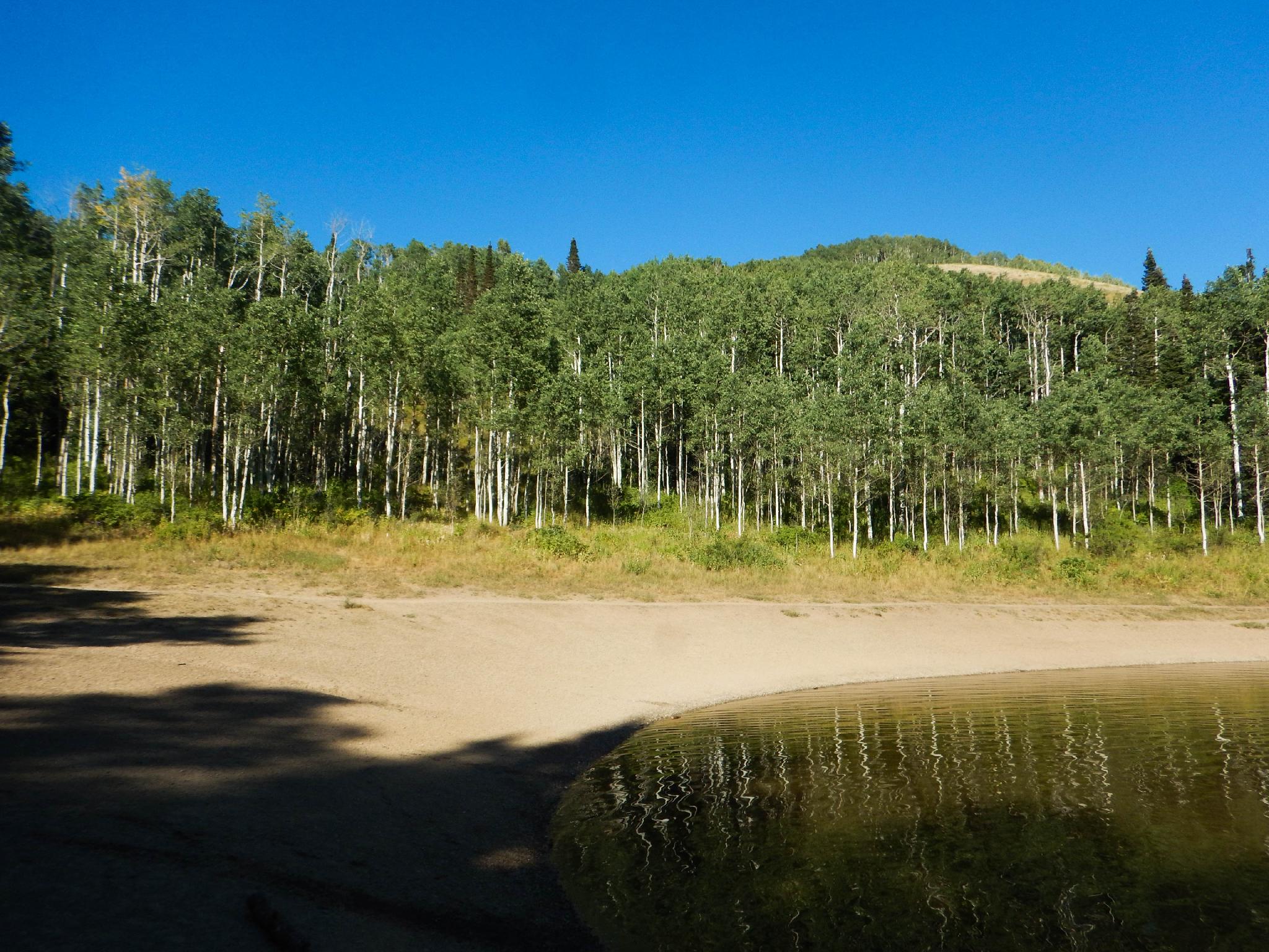
There are a few different routes to the lake from the Millcreek side. The route described here is what I consider to be the best loop, and offers a casual 4.6-mile outing that takes 2 hours if you don't count time spent at the lake. A perfect distance for a summer after work jaunt. Fall is likely the season I would most recommend when the upper hills around the lake are on fire with the leaves changing colors. The trail is well signed and easy to follow.
Getting There
Millcreek Canyon is on the east side of the Salt Lake Valley, just south of I-80 and Parleys Canyon. To get there, take I-215 South from I-80 and take exit 4 off of I-215 and go left (east) on 3900 South.
Turn left on Wasatch Blvd just after crossing under the highway, then the next right on Millcreek Canyon Road.
0.7 miles from the junction of Wasatch Blvd and Millcreek Canyon Road is the entrance to Millcreek Canyon and the pay booth.
Mileage below is from the pay booth.
0.7 miles - Pipeline Trailhead on the left (north).
2.4 miles - Church Fork Trailhead on the left (north).
2.5 miles - Desolation on the right (south).
3.4 miles - Porter Fork on the right (south).
3.5 miles - Burch Hollow Trailhead (north).
3.7 miles - Terraces Picnic Area / Trailhead (south).
3.8 miles - Winter Gate Closure
5.4 miles - Elbow Fork Trailhead (Mount Aire)
6.9 miles - Alexander Basin Trailhead
8.3 miles - Lower Big Water
8.4 miles - End of the road and Big/Little Water Trailhead. This is the trailhead for Dog Lake. There is overflow parking just down canyon if needed.
Route Description
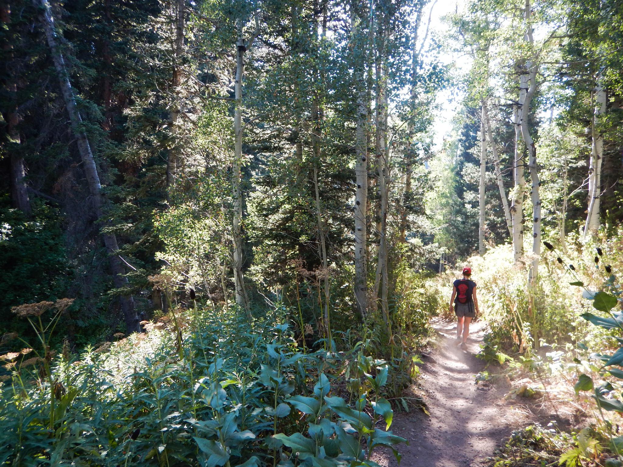
To The Lake (2.6 miles)
Getting started may well be the hardest part of this hike, as there are many trails that leave from the parking area. The correct trail? The one that leaves on the right side (south) of the parking lot as you drive in. Follow this trail, staying left at the junction not far from the parking area. The right turn at this junction goes down to the other parking area.
The trail begins climbing up. Stay on the well-worn trail as it climbs to the first major junction in 1.2 miles. Go right here (signed Dog Lake). Left goes east and meets the descent trail.
Continuing up from the major junction, the views of the ridges that make up Millcreek Canyon begin coming into better view and aspen trees start to come into the mix more. It is another 1.2 miles to a junction just below Dog Lake. Left and right both go to Dog Lake. Going right on the way up is my recommendation. Just below the lake, a final junction is reached. Go left here, with the lake just a couple of minutes ahead.
Back to the Trailhead (1.84 miles)
Head back the way you came, staying right at the first junction a couple of minutes from the lake. Go right again at the second junction, then right one more time at the junction a few minutes from the lake.
Maps

12T 445329E 4503915N
40°41'04"N 111°38'49"W
12T 445284E 4503668N
40°40'56"N 111°38'51"W
12T 445472E 4502920N
40°40'31"N 111°38'43"W
12T 445682E 4503263N
40°40'42"N 111°38'34"W
12T 445865E 4502415N
40°40'15"N 111°38'26"W
12T 445786E 4502196N
40°40'08"N 111°38'29"W
12T 445818E 4502146N
40°40'06"N 111°38'28"W
12T 445923E 4502063N
40°40'04"N 111°38'23"W
12T 446018E 4503068N
40°40'36"N 111°38'20"W
12T 445775E 4503908N
40°41'03"N 111°38'30"W
12T 445495E 4503948N
40°41'05"N 111°38'42"W