 Hiking
Bald Mountain
Hiking
Bald Mountain
East Canyon
Overview
Part of the Great Western Trail, the hike from Big Mountain Pass to Bald Mountain is a great spring or fall outing. The trail climbs from Big Mountain Pass, then again in one final steeper section up Bald Mountain, but much of the hike is gently rolling along or near ridgetops. Though heavily wooded, the trail passes through many meadows and openings that give great views of the Wasatch Front along the way.
I enjoyed this hike more than its neighbor Big Mountain. The gentler terrain and more close up views of the Wasatch Front made it an excellent afternoon out in my opinion. Spring will find the meadows blossoming with wildflowers, while fall colors on the trees can be spectacular.
Getting There
From Salt Lake City, travel east about 6 miles on I-80 to exit 134 (East Canyon / Little Dell). From exit 134, travel north on UT-65 for 8.4 miles to Big Mountain Pass, and a large parking area on the east side of the road.
Route Description
From the pass, it is essential to make sure you are on the correct trail. You want the path leaving the parking lot on the northeast side. It is an old road that climbs up to a gate, and beyond. It is signed as part of the Great Western Trail.
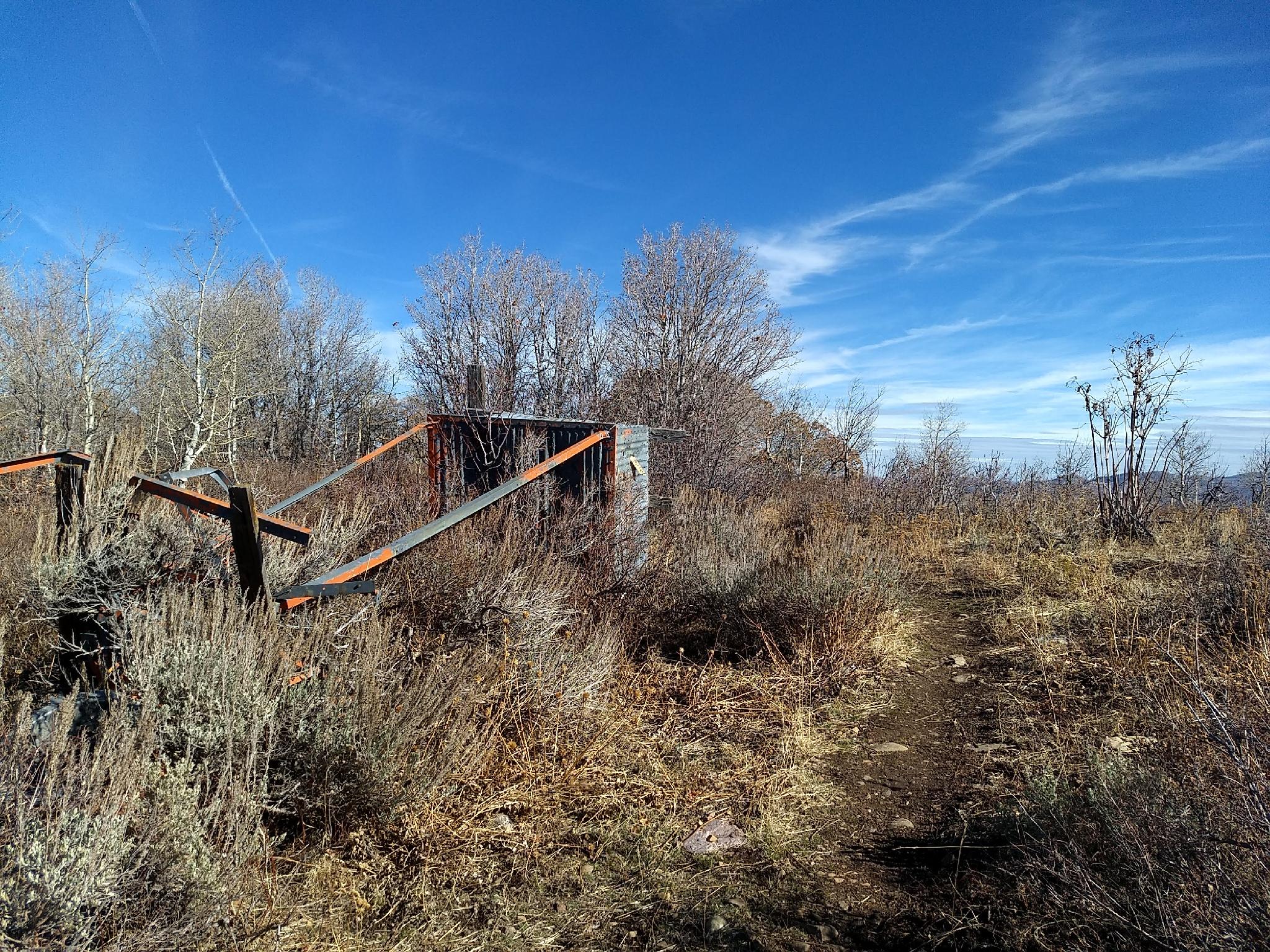
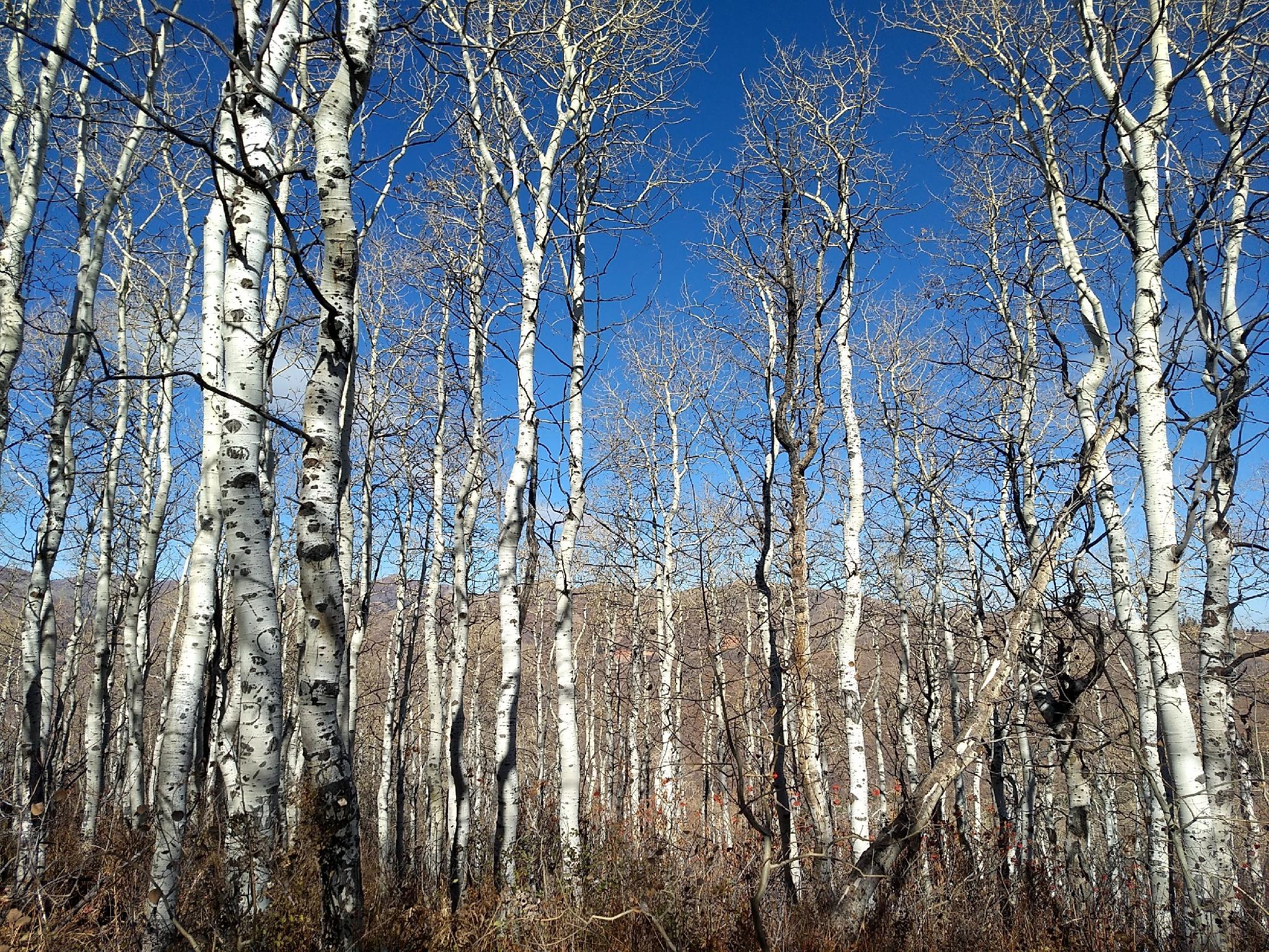
Once on the correct trail, it climbs steeply, but not too steeply up to near the summit of what is often referred to as Little Big Mountain or South Big Mountain. The remains of an old Airway Signal Tower are visible just off the trail near the summit. Continue along, as the trail begins a series of gentle ups and downs, passing through meadows and aspen groves.
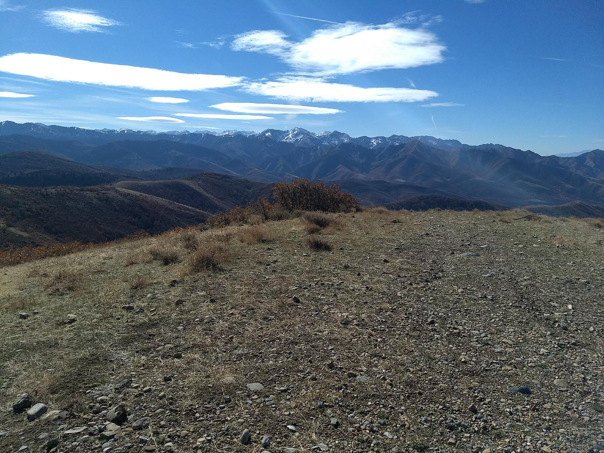
After about 30 minutes, the trail makes a steeper descent, then begins the longest climb up the day up Bald Mountain proper. The trail is heavily wooded as it climbs to the ridge, then opens up with excellent views of the peaks making up Big Cottonwood Canyon and Millcreek Canyon, with the Salt Lake Valley also visible in the distance.
Bald Mountain is the visible summit, with a small rock cairn marking its top. (3.4 miles from the pass to the summit, about 1.5-2 hours one way)
Return the same way.
Photos
Maps

12T 444890E 4519862N
40°49'41"N 111°39'13"W
12T 445521E 4519086N
40°49'16"N 111°38'46"W
12T 445276E 4515917N
40°47'33"N 111°38'55"W