
 Silver Lake
Big Cottonwood
Overview
In 1871, William Stuart Brighton and his family spent the summer on 80 acres they had acquired at what would eventually become the town of Brighton. After settling the area, miners would travel between Park City and Alta in Little Cottonwood Canyon, using the Brighton place as a resting place about half way along the way.
From the humble early beginnings, Brighton grew quickly in the ensuing years as a resort for Salt Lake residents to beat the summer heat. By 1893, a three-story lodge was built and guest visitation was growing. Today Brighton is a resort destination for skiing in the winter and various activities in the summer. Like in its early days, this is a popular area for Salt Lake Valley residents to visit in the summer to get out of the oppressive heat. Unlike in the early beginnings when it took 5-7+ hours for guests to arrive from the Salt Lake Valley, visitors can now make it from Salt Lake City to Brighton in about 30 minutes.
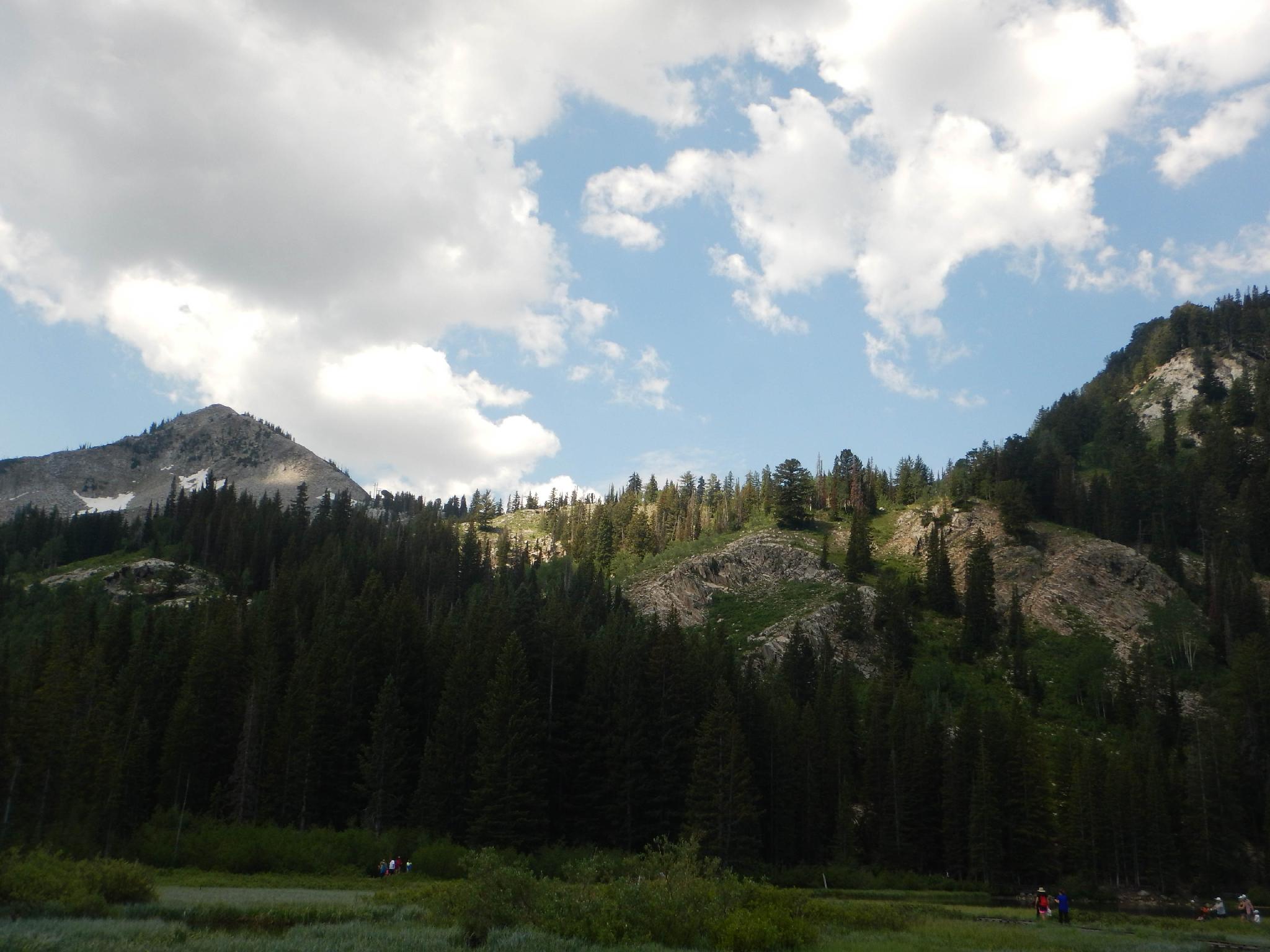
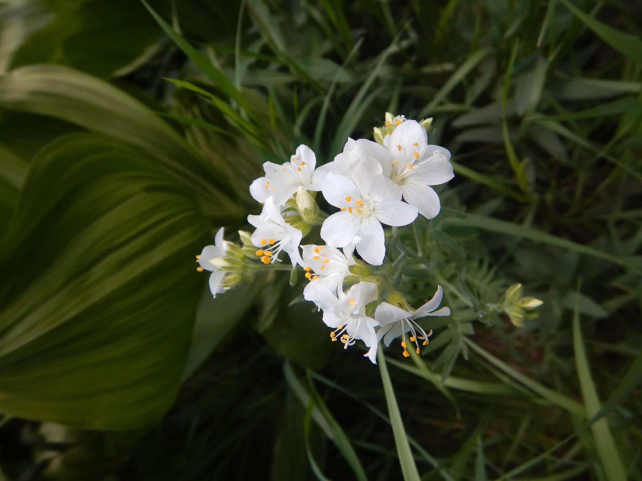
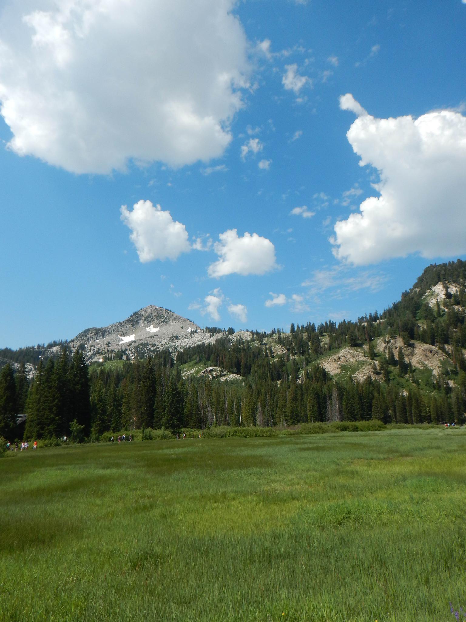
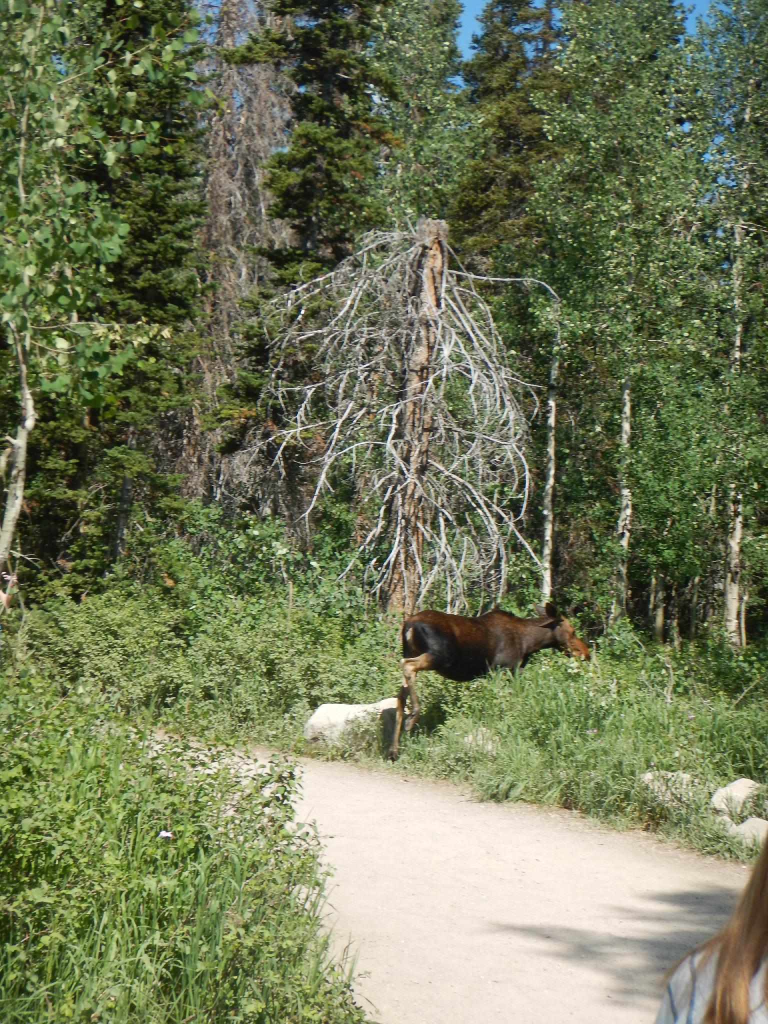
One of the crowning jewels of Brighton, in addition to the towering mountain ridges that surround the small community, is Silver Lake. This picturesque high mountain lake is stunning and worth visiting. The lake has a 1-mile trail around it that is stroller and family friendly. Along the way, the trail has big views of the ridges, exquisite wildflowers in the spring and summer, colorful leaves in the fall, and an abundance of wildlife. It is not uncommon to see moose lazily browsing along the trail during summer months.
If in the area, I can't recommend this hike enough, it has amazing nature to see, and a wealth of information on the history of the area.
Getting There
Big Cottonwood Canyon is on the east side of the Salt Lake City Valley. Get there by taking I-215 to the east, taking exit 6 off the interstate and heading east.
Follow 6200 South which becomes Wasatch Blvd for 1.8 miles to the stop light and signs for Big Cottonwood Canyon.
Turn left at the light and reset your odometer.
Drive up Big Cottonwood Canyon 14 miles to the small community of Brighton. At the loop, go right, with Silver Lake Visitor Center well signed on the right with a small parking area. If the parking area is full, there is more parking just up the road at the resort.
Route Description
The trail starts at the Silver Lake Visitor Center. The center is worth a stop and has information on the history, animals, and environment around Brighton. A few picnic tables and restrooms are available at the Visitor Center as well.
The trail meanders around the lake as a mix of dirt and boardwalk with many interpretive signs and small side areas for fishing or views. There is one junction, the junction to Lake Solitude and Twin Lakes. It is well signed, and easy to stay on the Silver Lake Trail.
Maps

12T 450536E 4494905N
40°36'13"N 111°35'05"W
12T 450223E 4495108N
40°36'19"N 111°35'18"W