 Roadside Attraction
Silver Island Scenic Byway
Roadside Attraction
Silver Island Scenic Byway
Silver Island Mountains
Overview
The Silver Island Mountains are a small mountain range north of Wendover that are surrounded by salt flats and mudflats on 3 sides. The small range is an island in a sea of flats! The rugged limestone range has a long history. Many of the small overhangs show signs of early inhabitation with either smoke stains, small stone walls, or faint pictographs.
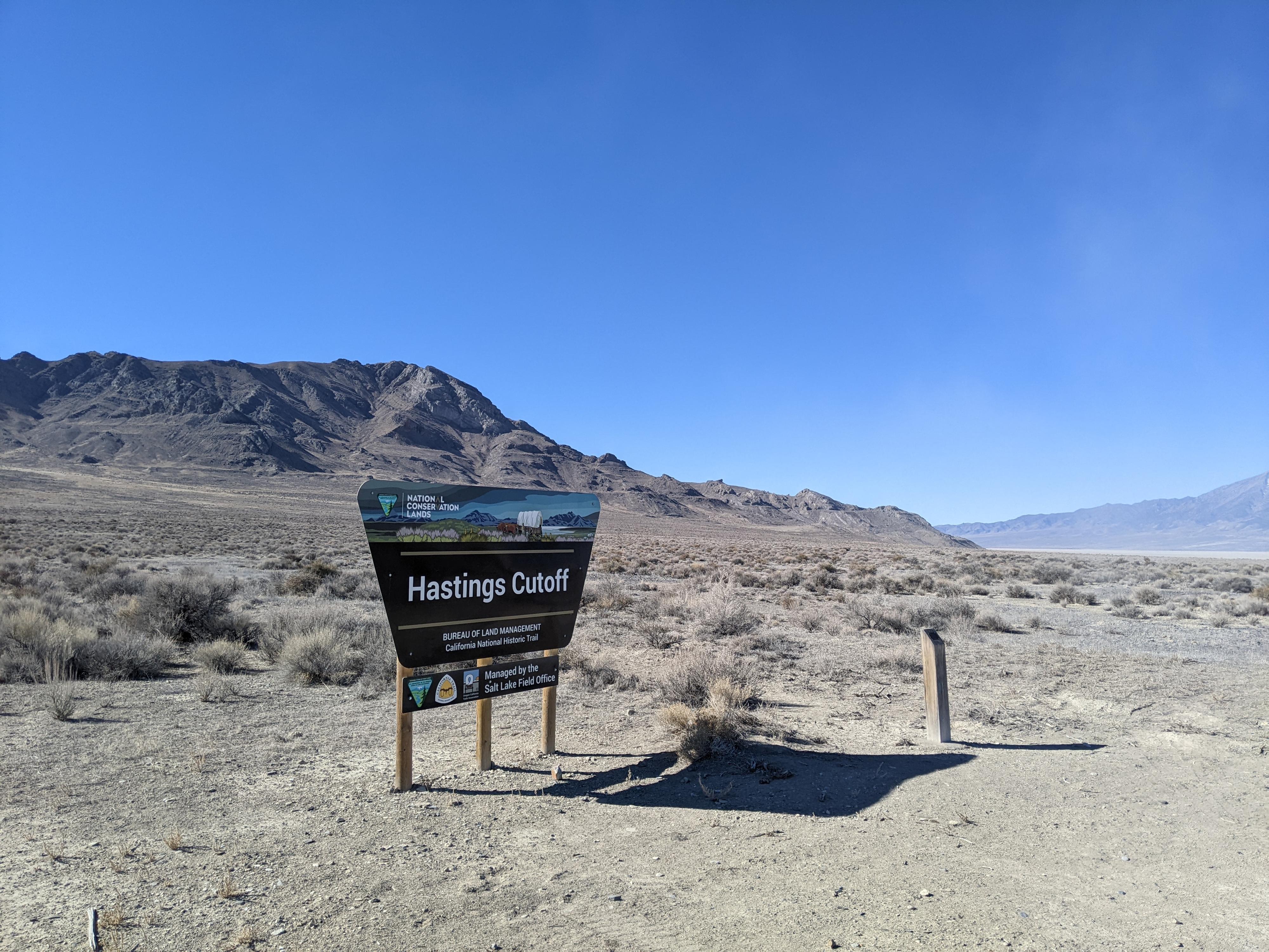
The Donner-Reed party of 1846 left their mark on the range as they crossed mudflats around the north end of the Floating Island and then west between the Silver Island Mountains and Crater Island on what was to become known as the Hastings Cutoff.
In more recent times, the late 1800s and early 1900s, the area saw mining activity. The mining activity left the slopes of the range with some steep jeep roads and pack trails that wind sinuously up to old mines. Mining never proved particularly lucrative, and as the miners left the range in search of the next mineral rush, the nearby Salt Flats became a point of interest for those looking for a place to set speed records.
The 1930s saw the Bonneville Salt Flats come into its own as the place to go to set land speed records. The Salt Flats are at the base of the range on its eastern side. The racers made their marks on the record books, but also the Silver Island Mountains. The peaks are named after prominent people in the Bonneville Salt Flats racing lore.
Today, the range is mostly a lonely, empty place. The scenic byway draws some traffic, but on the many trips I have done to the range, I've never seen more than another car or two, and on most trips, I haven't run into anyone once a few miles down the dirt road. This is a great place to get away from the world.
Getting There
Reaching the trailhead starts by going north off I-80 at exit 4. This is a few miles east of Wendover, UT, and about 115 miles west of Salt Lake City.
Route Description
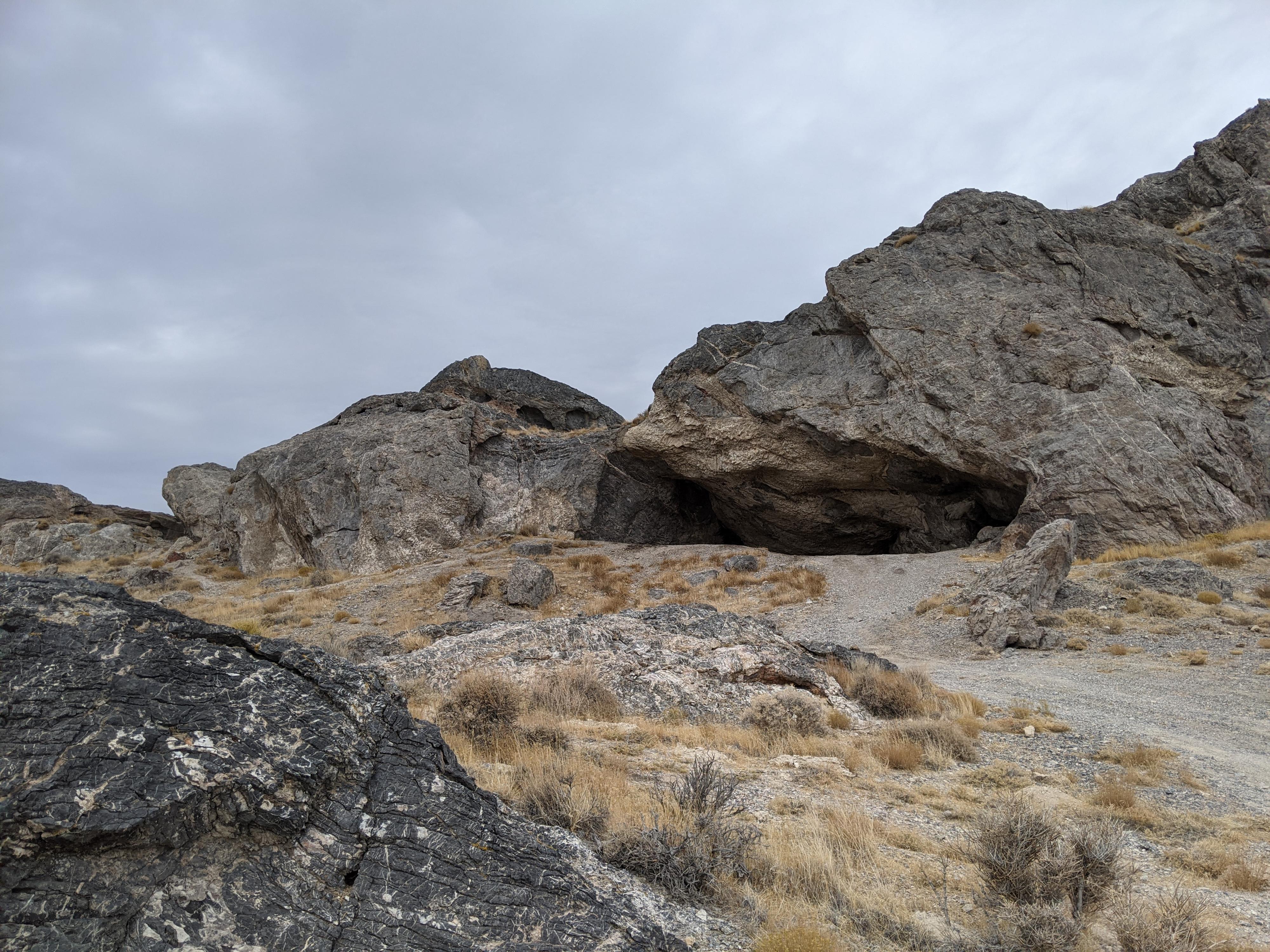
The popular cave.
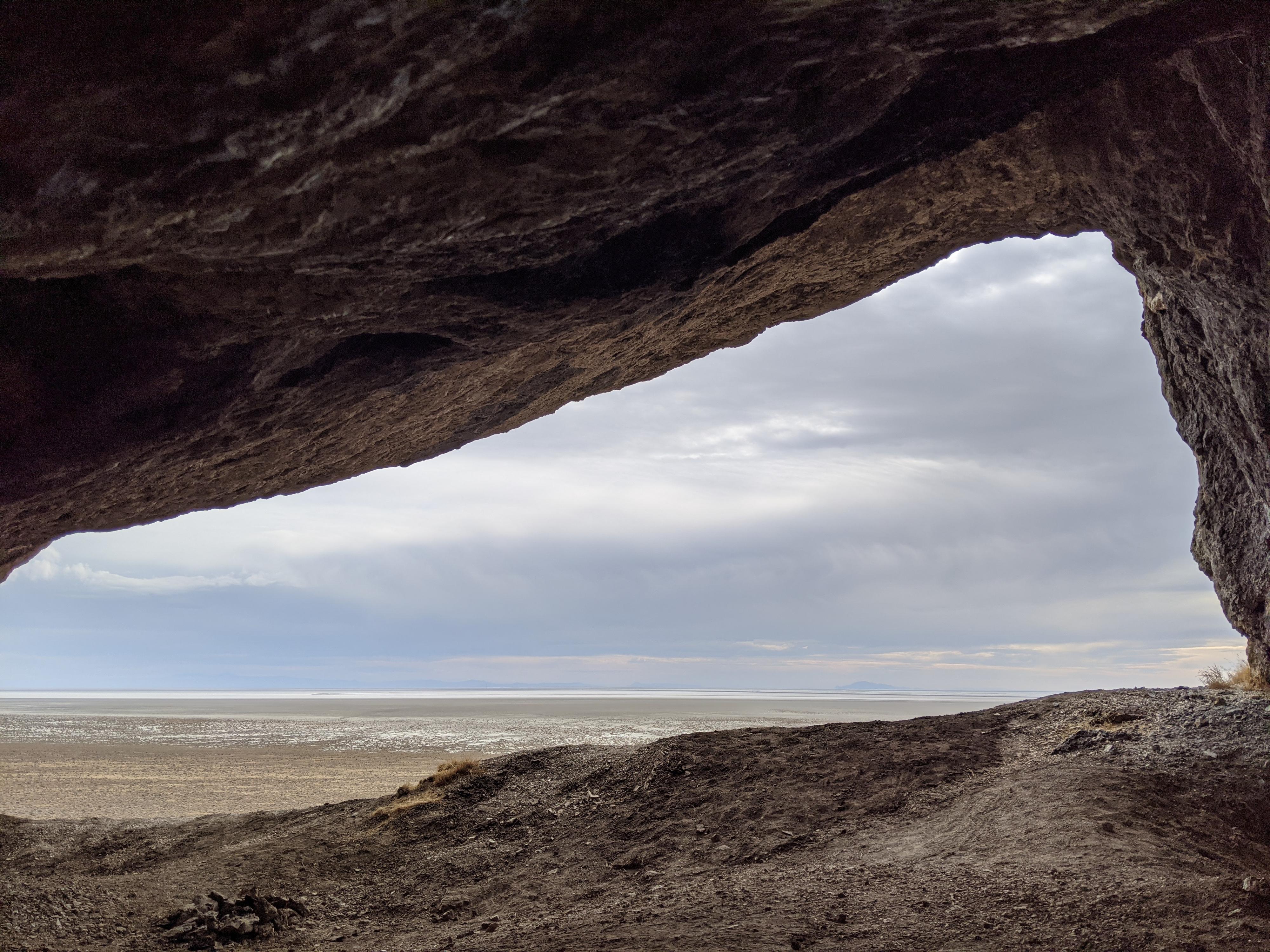
Looking out the cave.
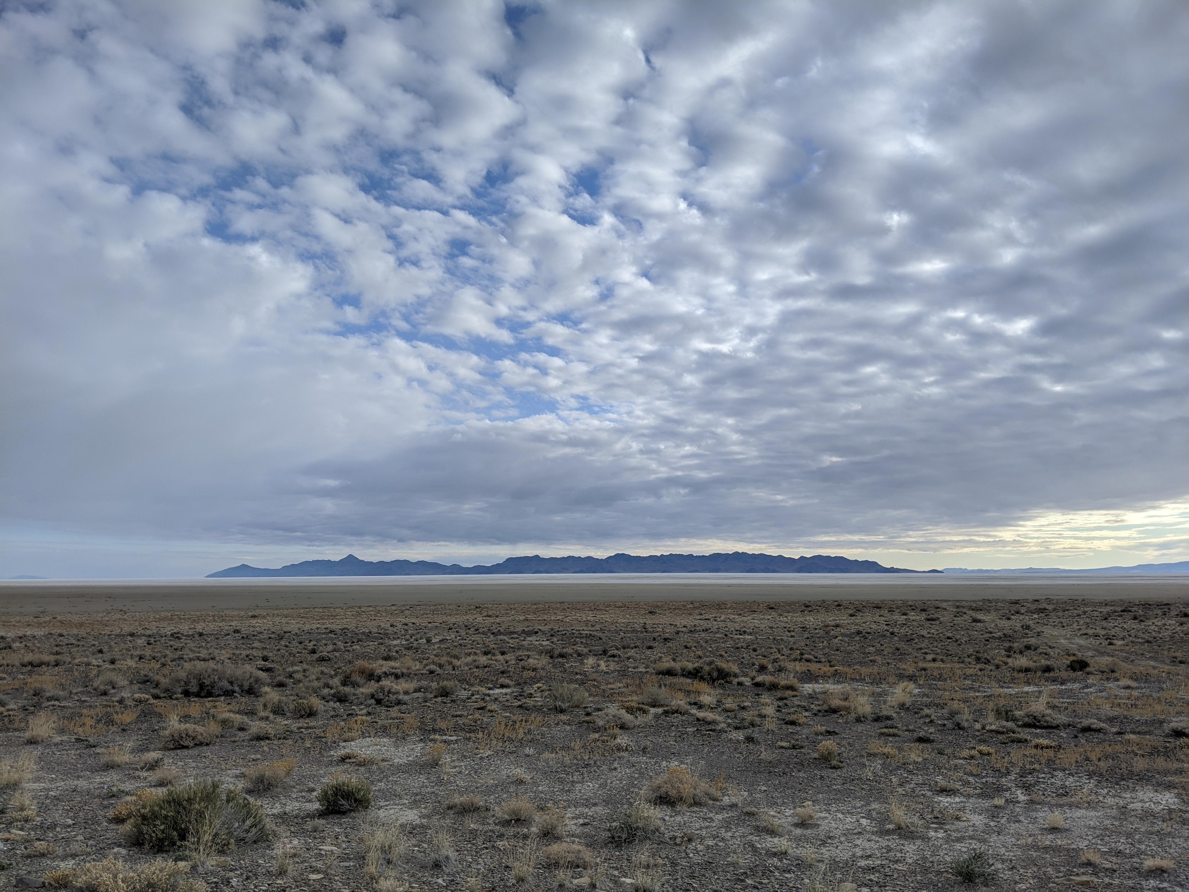
The mudflats and Newfoundland Mountains from near the base of Lamus Peak
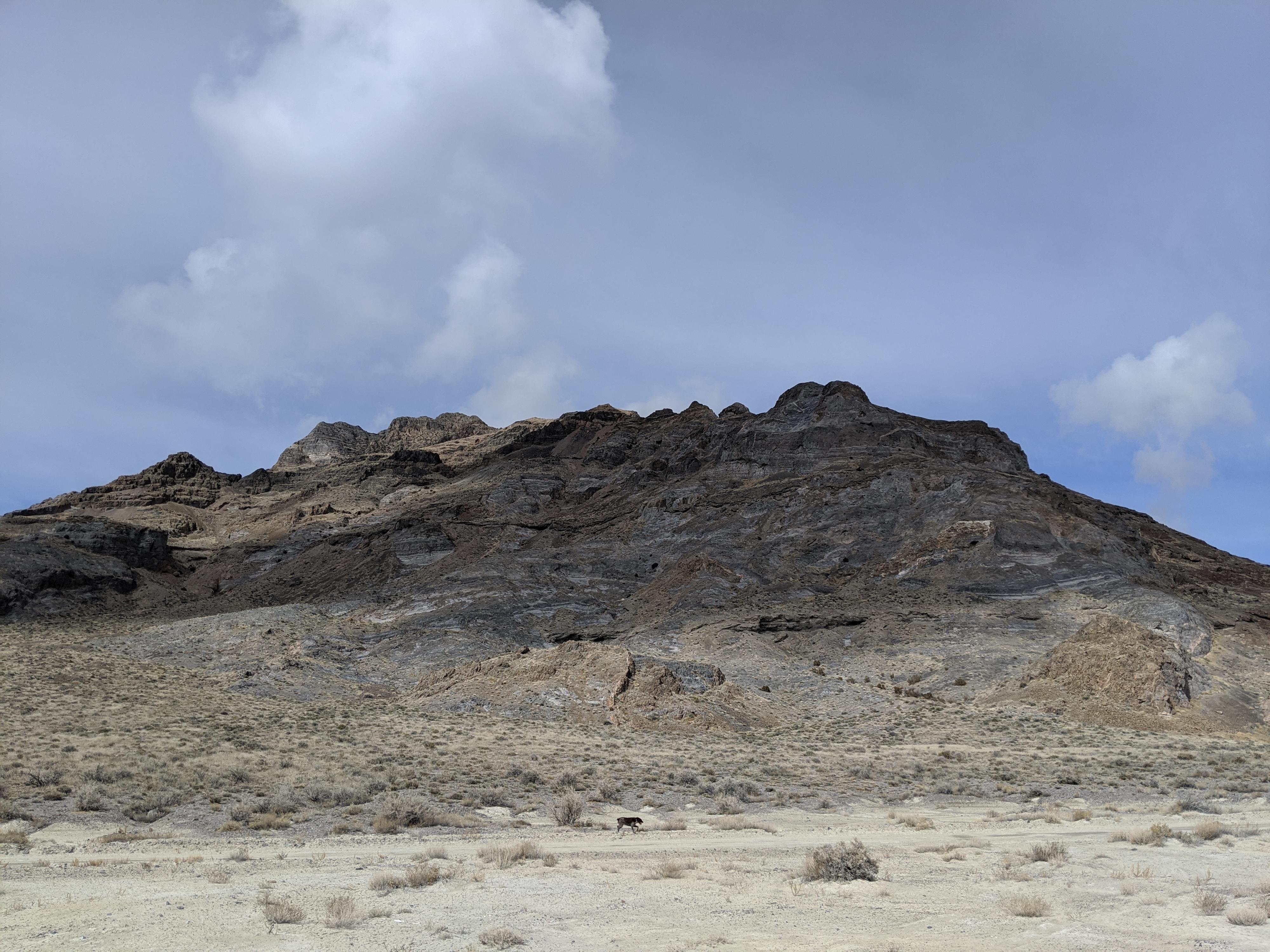
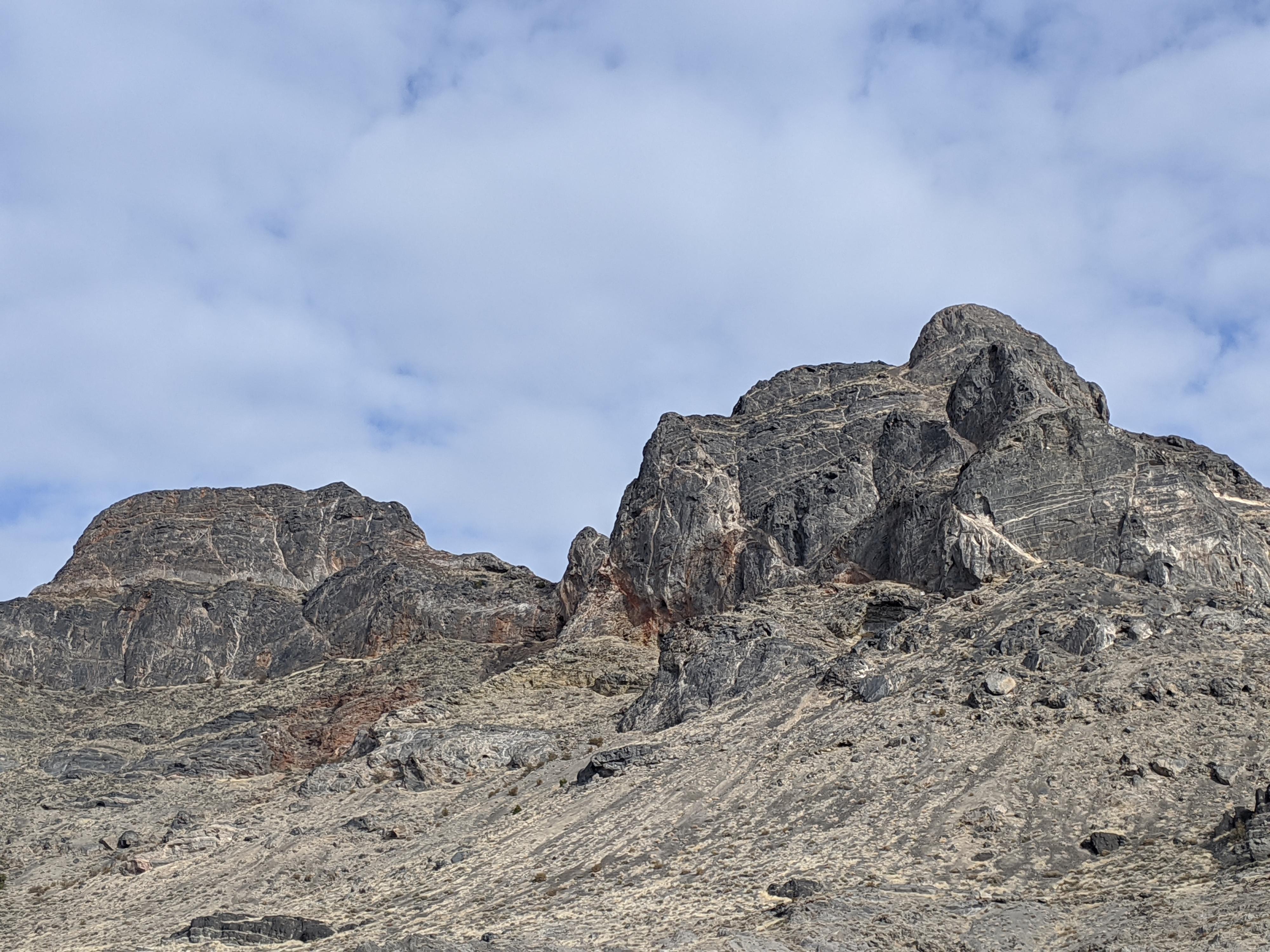
Lamus Peak with Jenkins peaking out in the back.
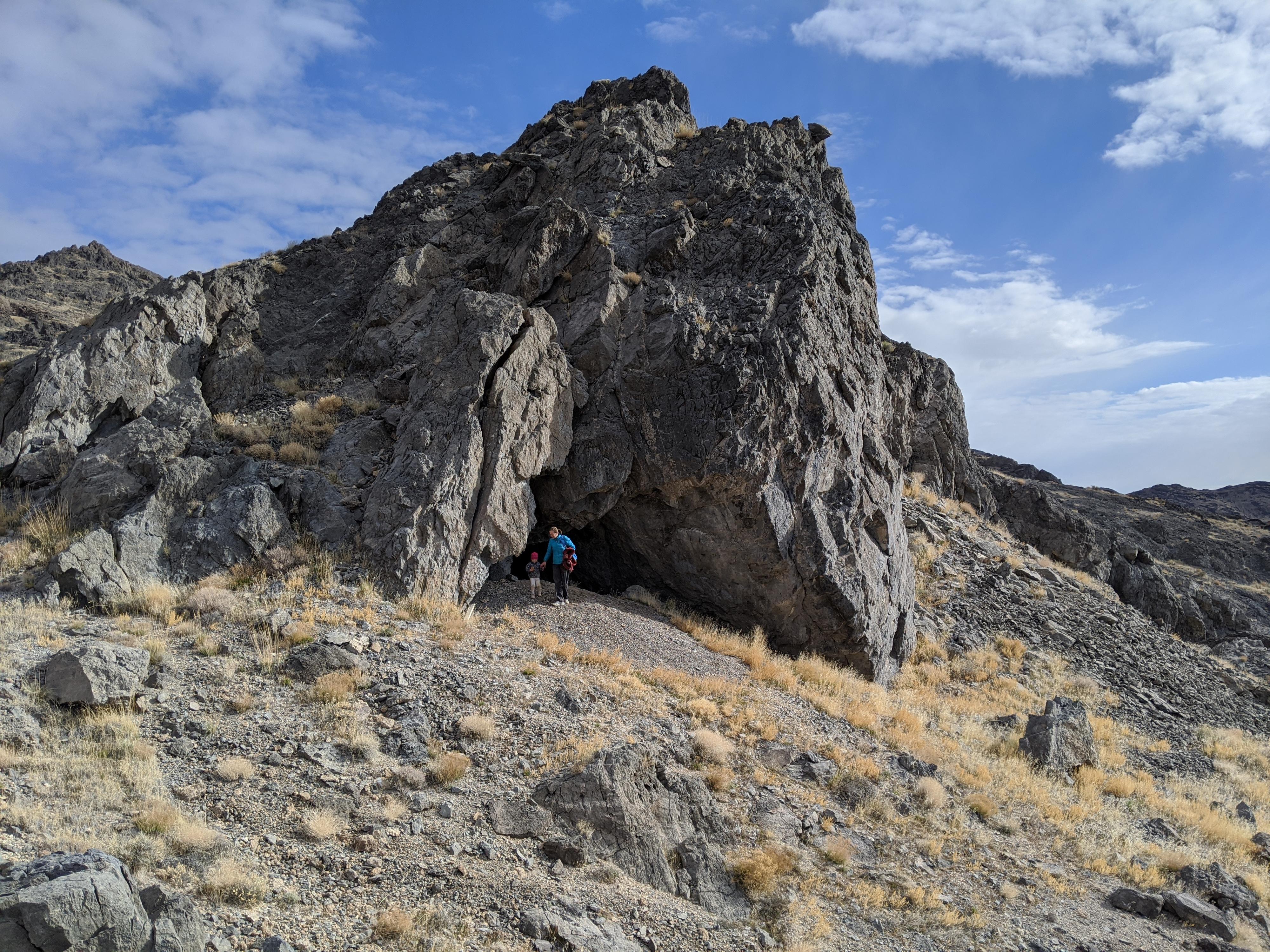
Checking out a cave near Cave Canyon
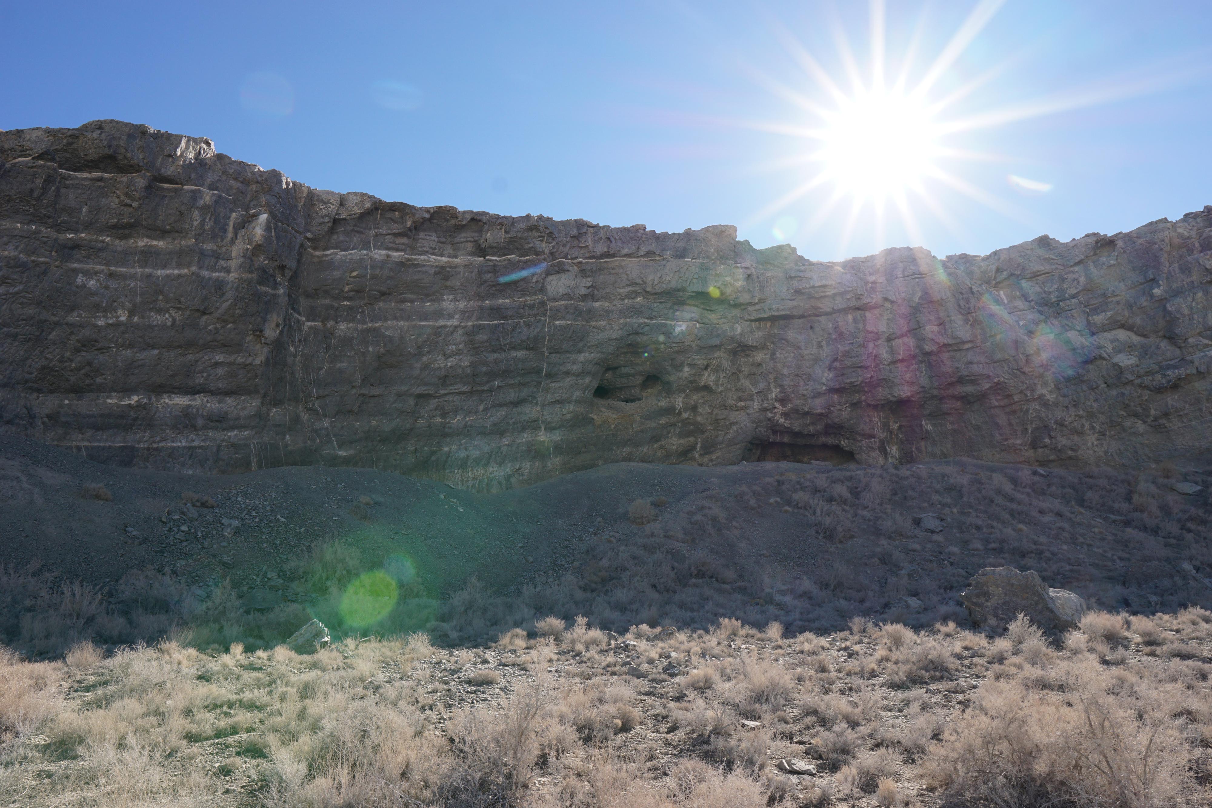
Limestone Walls near Cave Canyon
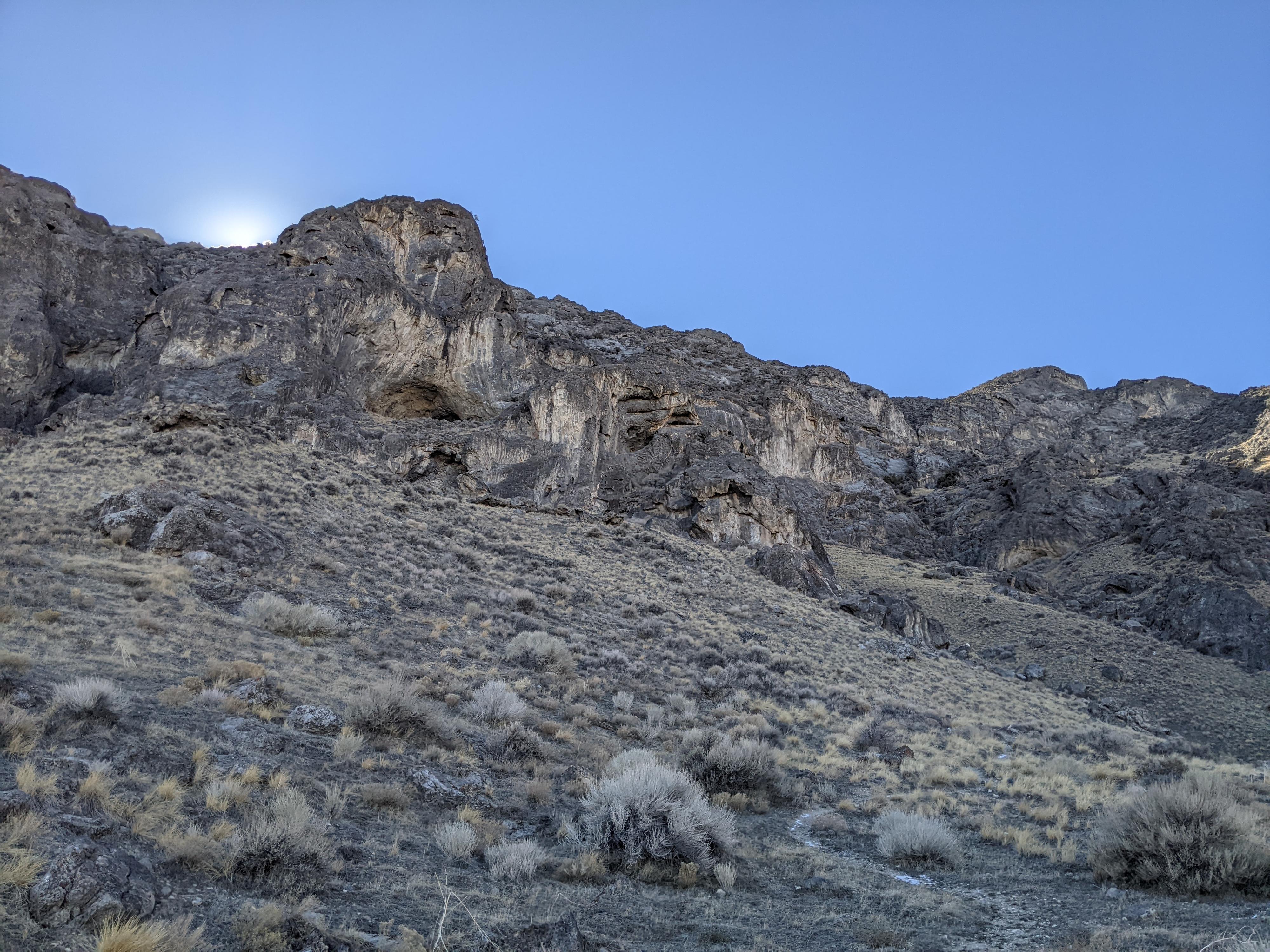
Big limestone walls
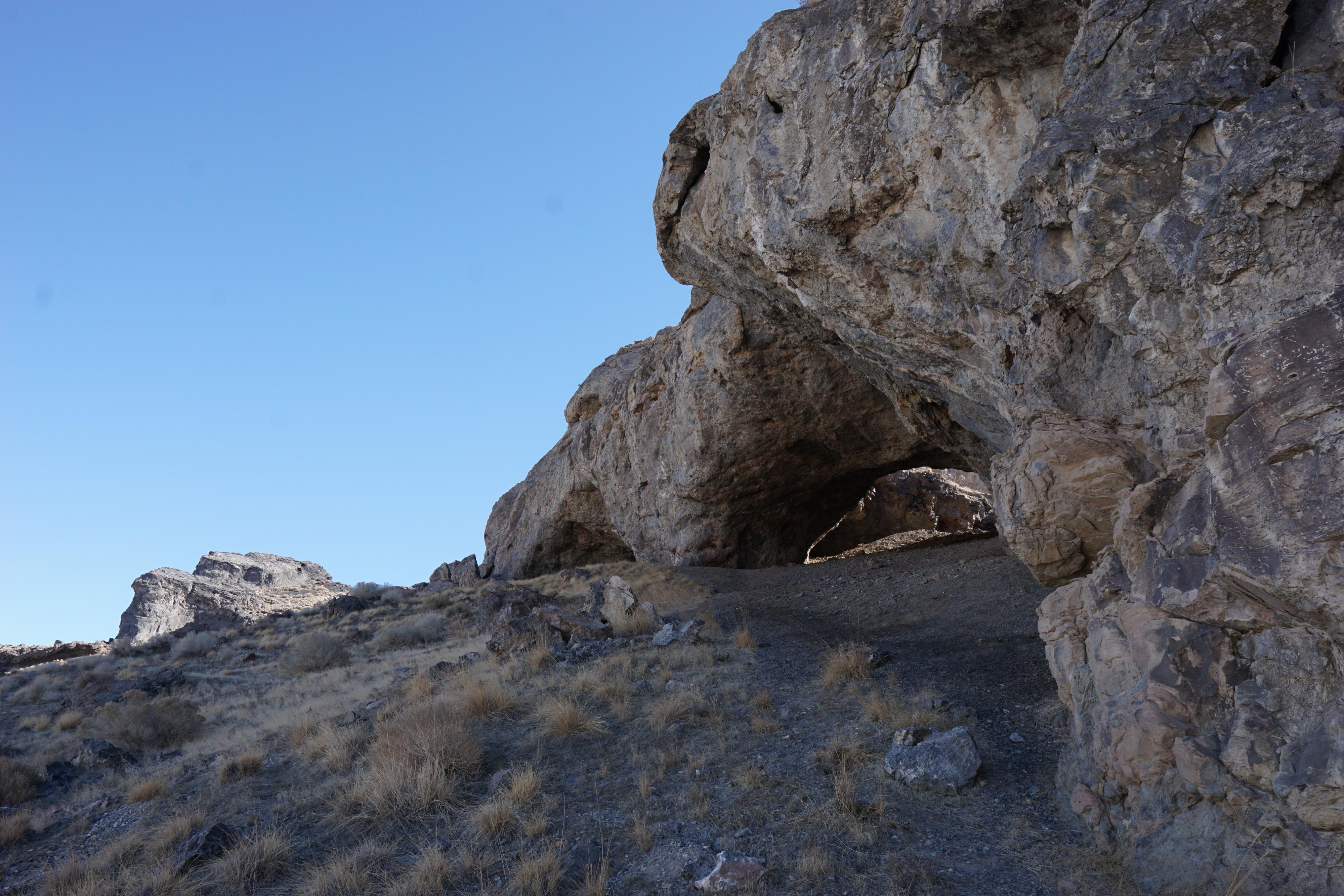
Skylight Cave
Donner-Reed Pass
Caves on the west side of the Silver Island Mountains
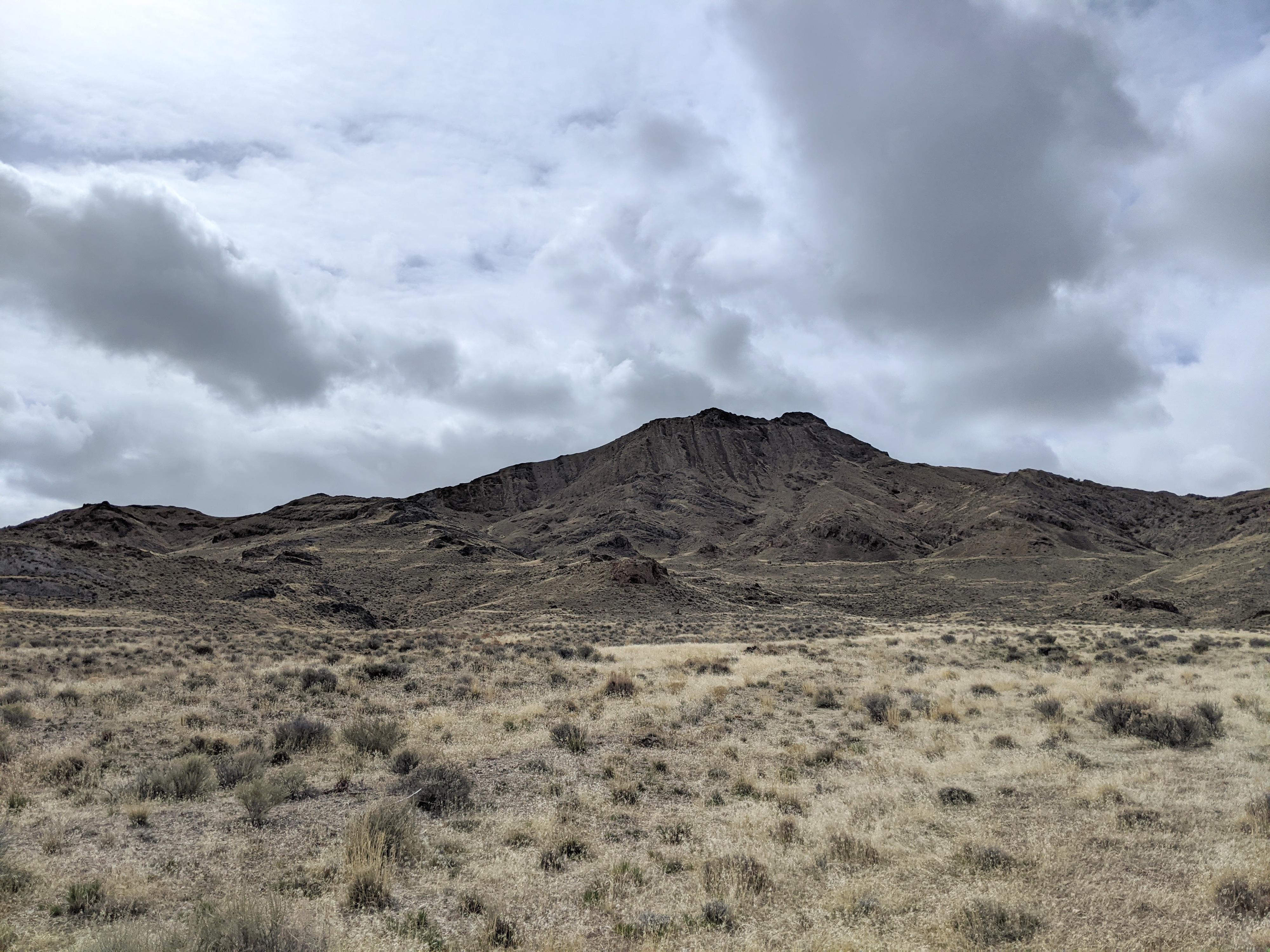
Rishel Peak
Photos
Maps
")
")