 Hiking
Robbers Roost Overlook
Hiking
Robbers Roost Overlook
Angel Point
Overview
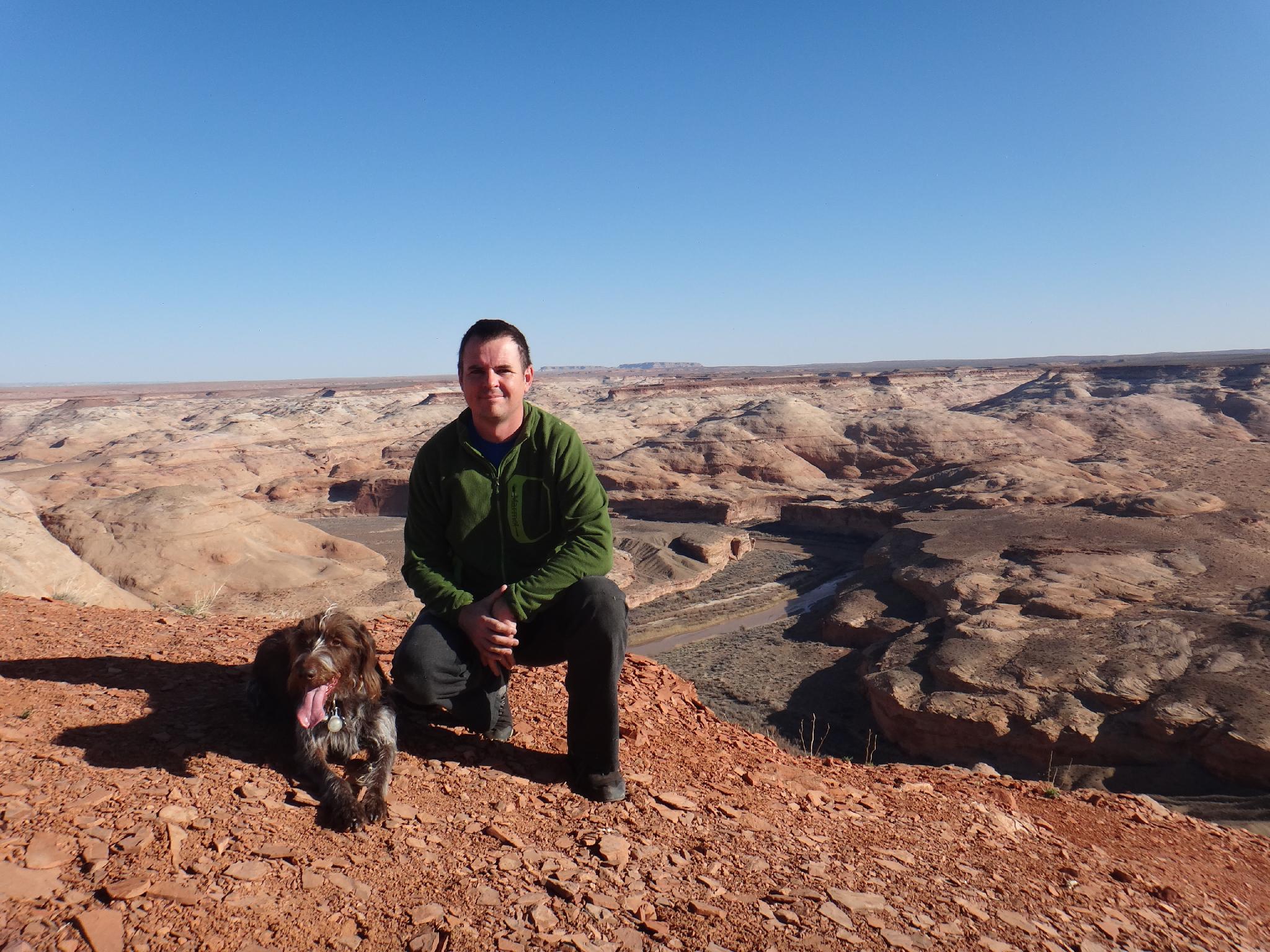
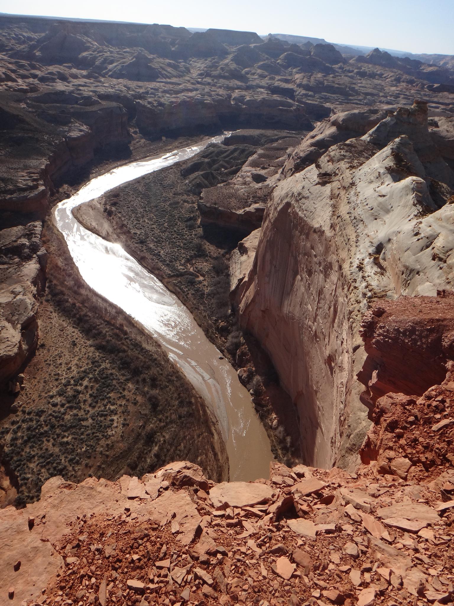
Angel Point offers good views of the Robbers Roost area to the east, but in my opinion, this short hike offers better views and is second to none for watching a sunset. The hike is easy, and family friendly, but ends at the edge of a 600' cliff overlooking the Dirty Devil River. Keep a watchful eye on kids and pets here!
This is a good, short hike to add to the end of a day canyoneering in the area. There is decent primitive camping at the trailhead as long as it is not windy.
Getting There
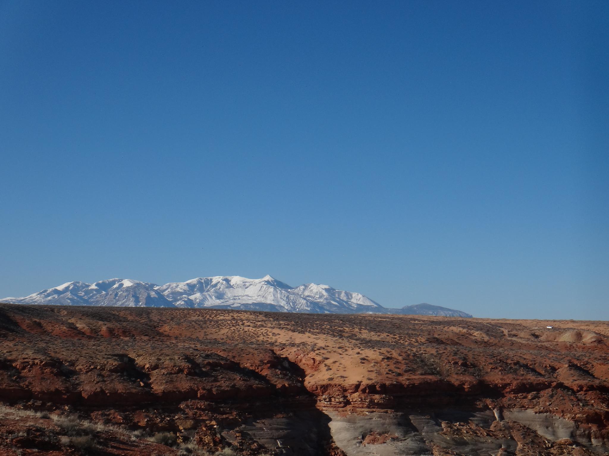
Go south out of Hanksville on Highway 95 toward Hite for 10 miles. Just after mile marker 10, on the left (east) side of the road is a dirt road signed Angel Point. Reset your odometer as you leave the highway. Major junctions are:
- 1.7 miles - Stay Left
- 2.5 miles - Left
- 3.4 miles - Left
- 8.5 miles - Signed Angel Point Road, stay left on the main road
- 8.8 miles - Right on a smaller side road (First road after Angel Point Road)
- 9.1 miles - Small camping area on the left. This is the trailhead. The road beyond is very faded.
Route Description
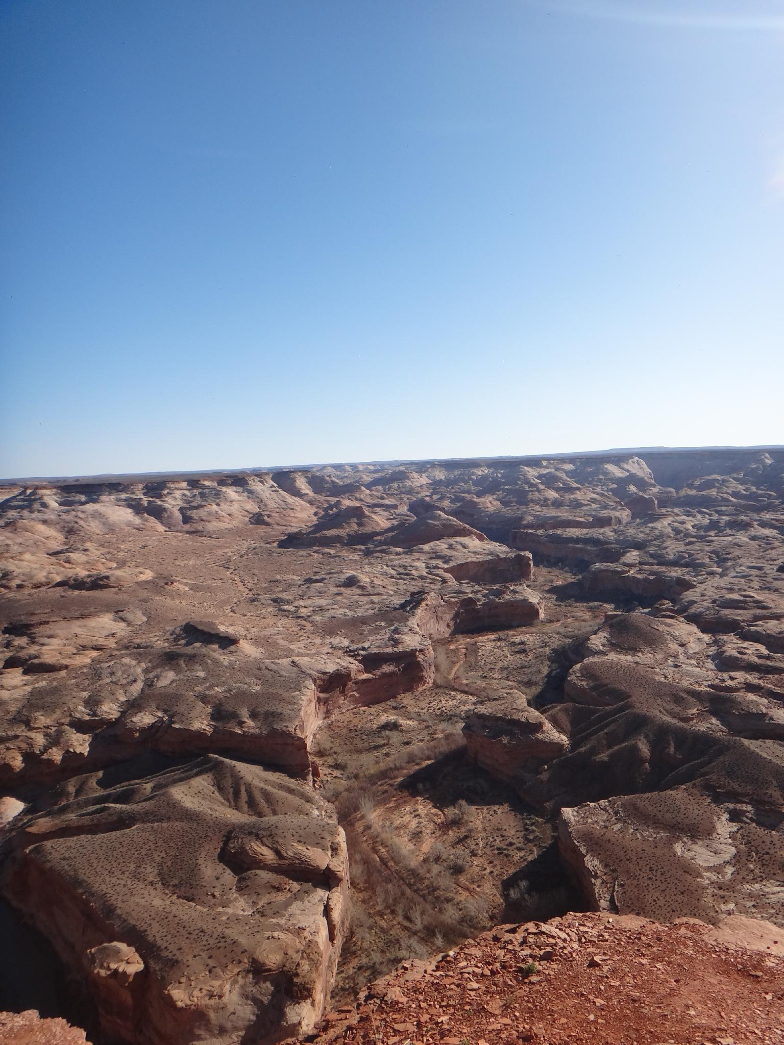
From the trailhead, follow the well used trail north, down, and across Angel Cove Canyon. After crossing Angel Cove, it bends and heads east. The trail is well used, and easy to follow. It ends at an overlook directly across from Robbers Roost Canyon. To the right is Angel Cove canyon, and straight below 600' is the mighty Dirty Devil River. A magnificent and airy pearch for viewing the Roost.
Return the same way.
Maps

12S 539207E 4240663N
38°18'48"N 110°33'05"W
12S 539591E 4241078N
38°19'01"N 110°32'50"W
12S 540334E 4241440N
38°19'13"N 110°32'19"W