Naomi Peak |

Cache County Highpoint

Hiking Naomi Peak - Cache County Highpoint Hiking Naomi Peak

Cache County Highpoint

Overview

RATING: Moderate Hike
MAPS: Naomi Peak, UT

Wed

Sunny, with a high near 44. West wind 9 to 15 mph.

44 | 25

Thu

A slight chance of snow after noon. Partly sunny, with a high near 42. Chance of precipitation is 20%.

42 | 27

Fri

A chance of snow after noon. Mostly sunny, with a high near 42.

42 | 26

Sat

Snow likely. Mostly cloudy, with a high near 41. New snow accumulation of 1 to 2 inches possible.

41 | 29

Sun

Snow. Mostly cloudy, with a high near 31. New snow accumulation of 2 to 4 inches possible.

31 | 23

View Full Weather Details
SEASON: Late Spring, Summer, Fall
GEAR: Standard Hiking Gear
WATER: None.

Wed

Sunny, with a high near 44. West wind 9 to 15 mph.

44 | 25

Thu

A slight chance of snow after noon. Partly sunny, with a high near 42. Chance of precipitation is 20%.

42 | 27

Fri

A chance of snow after noon. Mostly sunny, with a high near 42.

42 | 26

Sat

Snow likely. Mostly cloudy, with a high near 41. New snow accumulation of 1 to 2 inches possible.

41 | 29

Sun

Snow. Mostly cloudy, with a high near 31. New snow accumulation of 2 to 4 inches possible.

31 | 23

View Full Weather Details
The peak before the final climb up to the ridge

The peak before the final climb up to the ridge

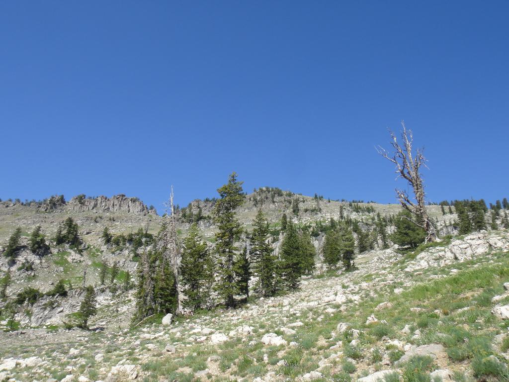
Naomi Peak is the highest peak in the Bear River Mountains as well as being the Cache County highpoint. The hike to the summit is fairly gradual by high point standards and very scenic. Naomi Peak is a good family hike with a little experience. There are only a couple of steep sections.

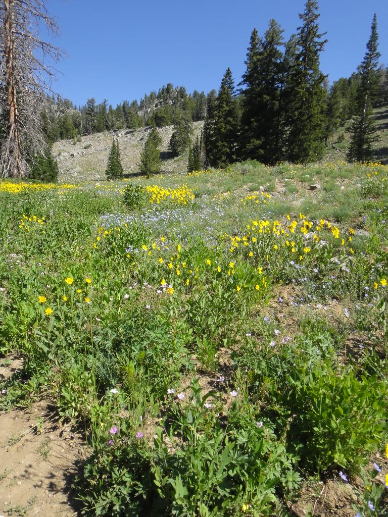
This is a peak to do in mid to late summer, from about July to mid-August when the wildflowers are in bloom. There are few other areas in Utah that have such stunning wildflowers. From the summit, there are great views of the surrounding peaks and canyon.

Note: The trailhead now requires a small fee ($5 in 2013). In my opinion, the fee is unfortunate. There are picnic areas and a pit toilet near the trailhead. In addition, Tony Grove has a fantastic campground and the lake has good fishing.

History: The peak was supposedly named in the 1870's by a surveyor who was missing his wife. Tony Grove Lake has been a popular destination for Logan locals since then and serves as a starting point to many trails in the area, as well as camping and fishing.

Looking from the summit to the cache valley area. Smithfield canyon below.

Looking from the summit to the cache valley area. Smithfield canyon below.

Getting There

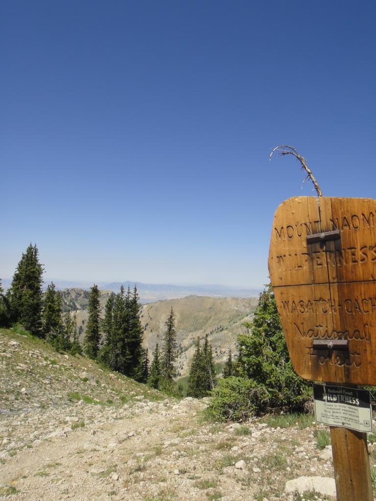
From Logan, drive east on highway 89 into Logan canyon. From where the highway crosses the Logan river just east of Utah State University, travel 19.5 miles to the signed Tony Grove turn off on the left (north) side of highway 89. Follow the Tony Grove road to its end in just over 7 miles. The trailhead is at the end of the road, where there is a turn around loop and rest room.

Wilderness Area

Wilderness Area

Stunning wild flowers.

Stunning wild flowers.

Route

Summit: 3042 m ( 9981 ft. )
Trailhead: 2459 m ( 8068 ft. )

From the trailhead, find the well-used trail heading north. (Not one of the smaller trails that goes to the lake.) After a short uphill, go left at the trail junction. Continue across the flats until the next junction (10-15 minutes from the trailhead). Go left here as well, as the trail steepens for a short section, then levels out heading west. It steepens again, then levels out with Naomi Peak rising steeply above to the west. A final longer climb reaches the summit ridge below Naomi. Go left at the 4-way trail junction here at the ridge and make the short traverse over and up to the summit.

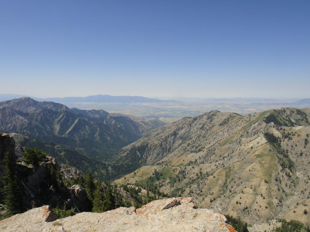
The summit offers stunning views of most of the Bear River Mountains, with its expansive ridgelines. The peak to the east is Mount Magog. The canyon west below the summit is Smithfield Canyon. To the north and a bit west is Cherry Peak, with a trail running across the hillside below it.

Return the same way.


Maps

Route / 6.10 miles / Elevation Range 8,073 - 9,974 ft.
Printable Maps:
Trailhead

12T 446698mE 4638334mN

N41° 53' 43" W111° 38' 33"

Junction1

12T 446696mE 4638713mN

N41° 53' 55" W111° 38' 33"

Junction2

12T 446413mE 4639291mN

N41° 54' 14" W111° 38' 46"

Junction3

12T 444159mE 4640382mN

N41° 54' 48" W111° 40' 24"

Summit

12T 443989mE 4640161mN

N41° 54' 41" W111° 40' 31"

Comments

Want to make a comment? Login and let yourself be heard.