
 Tour of Tilted Rocks
Dinosaur National Monument
Overview
Dinosaur National Monument, located on the border of Utah and Colorado, is a renowned paleontological site that boasts a rich history dating back to its discovery in the early 20th century. The monument's origins can be traced to 1909 when paleontologist Earl Douglass, working for the Carnegie Museum of Natural History, stumbled upon a treasure trove of dinosaur fossils in the rugged canyons of the area. The site quickly garnered attention from the scientific community and the public, leading to the establishment of Dinosaur National Monument in 1915. This designation aimed to protect the remarkable fossil beds and the diverse range of dinosaur specimens found in the region.
Over the years, Dinosaur National Monument has become a hub for scientific research, allowing researchers to uncover a wide variety of dinosaur species, including Allosaurus, Diplodocus, and Stegosaurus. The monument also features a visitor center and numerous hiking trails, providing visitors with a chance to explore the stunning landscapes of the Yampa and Green River canyons, and to gain insight into the prehistoric past.
My recommendation for a great introduction to Dinosaur National Monument is to visit the visitor center and quarry, then do this route, the Tour of the Tilted Rocks. This route is a mix of roadside stops and short hikes that visit many remarkable sights, all with only a few hours to a day's worth of time needed.
Getting There
From Vernal, head south on U.S. Hwy 40 E. Follow US-40 for about 12 miles to UT-149. Turn left onto UT-149, signed for Dinosaur National Monument and follow it for about 6 miles to the visitor center which is inside the park.
Route Description
Rock art and historic sites are fragile, non-renewable cultural resources that, once damaged, can never be replaced. To ensure they are protected, please:
- Avoid Touching the Petroglyphs: Look and observe, BUT DO NOT TOUCH!
- Stay on the Trails: Stay on the most used trails when visiting sites, and don't create new trails or trample vegetation.
- Photography and Sketching is Allowed: Do not introduce any foreign substance to enhance the carved and pecked images for photographic or drawing purposes. Altering, defacing, or damaging the petroglyphs is against the law -- even if the damage is unintentional.
- Pets: Keep pets on a leash and clean up after them.
- Artifacts: If you happen to come across sherds (broken pottery) or lithics (flakes of stone tools), leave them where you see them. Once they are moved or removed, a piece of the past is forever lost.
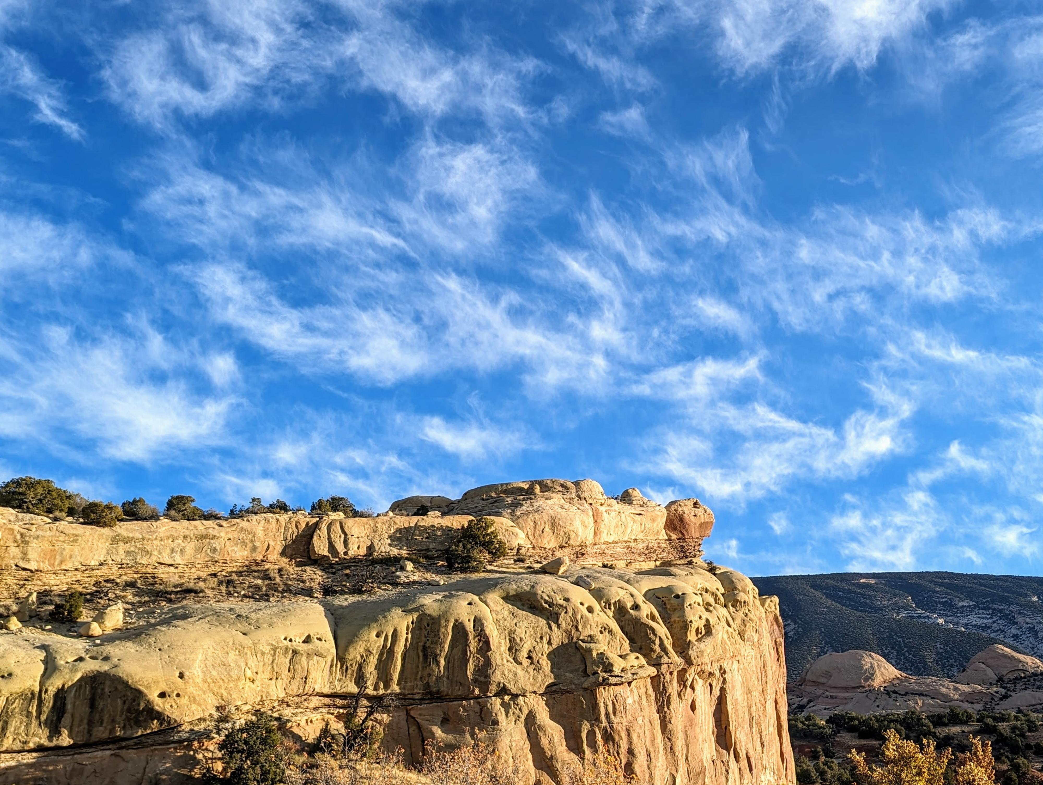
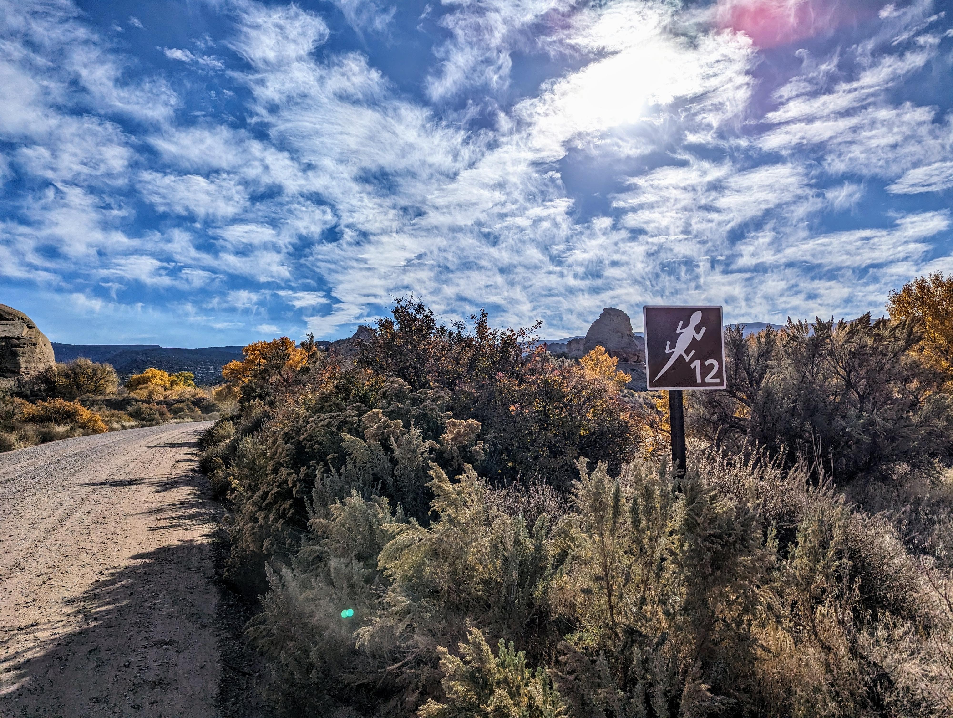
The route starts at the visitor center. Once you leave the visitor center and turn east toward the interior of the park, reset your odometer. For the most part, all numbered sites have a sign, but on my visit at least a couple of these were missing.
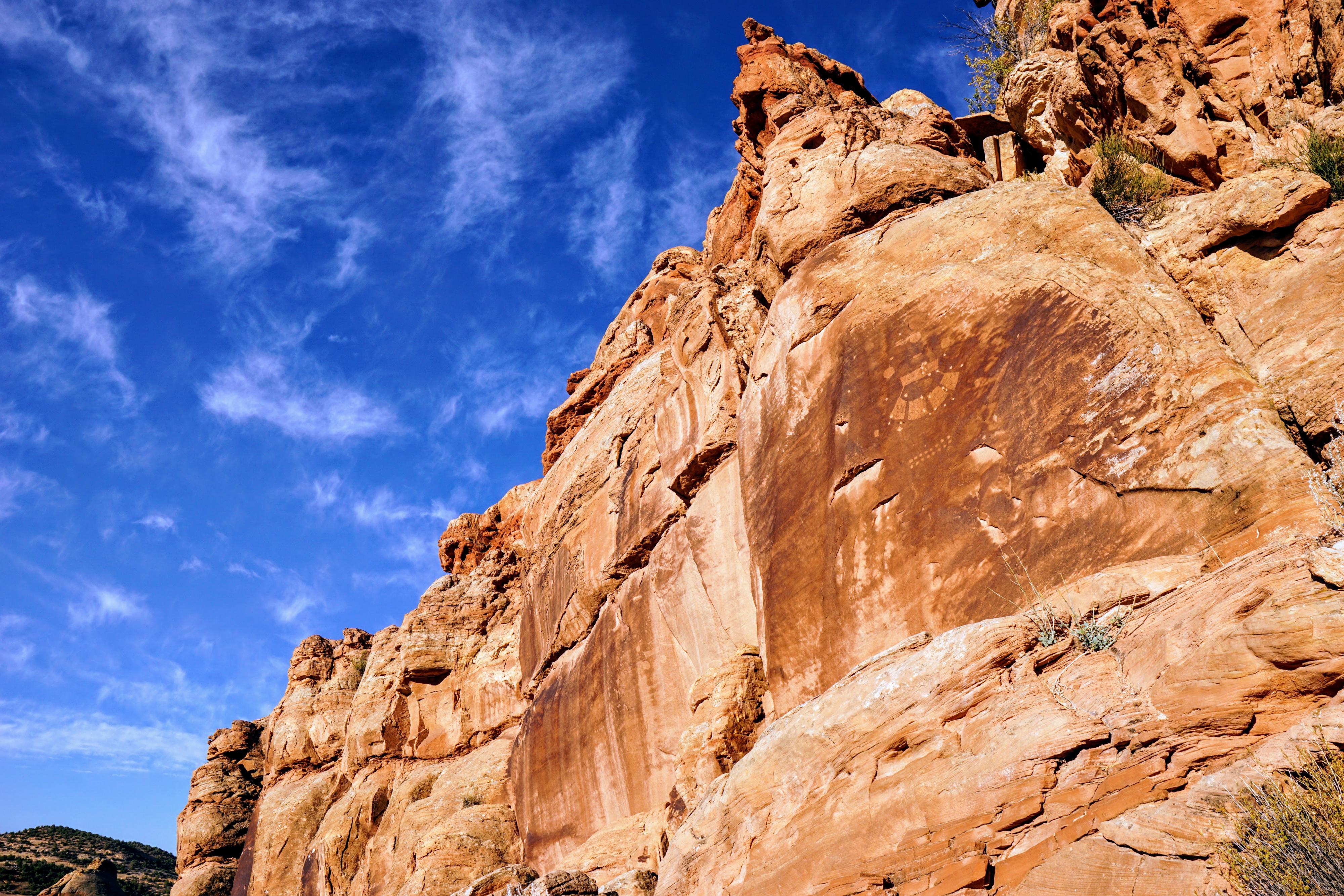
Swelter Shelter - Dinosaur National Monument
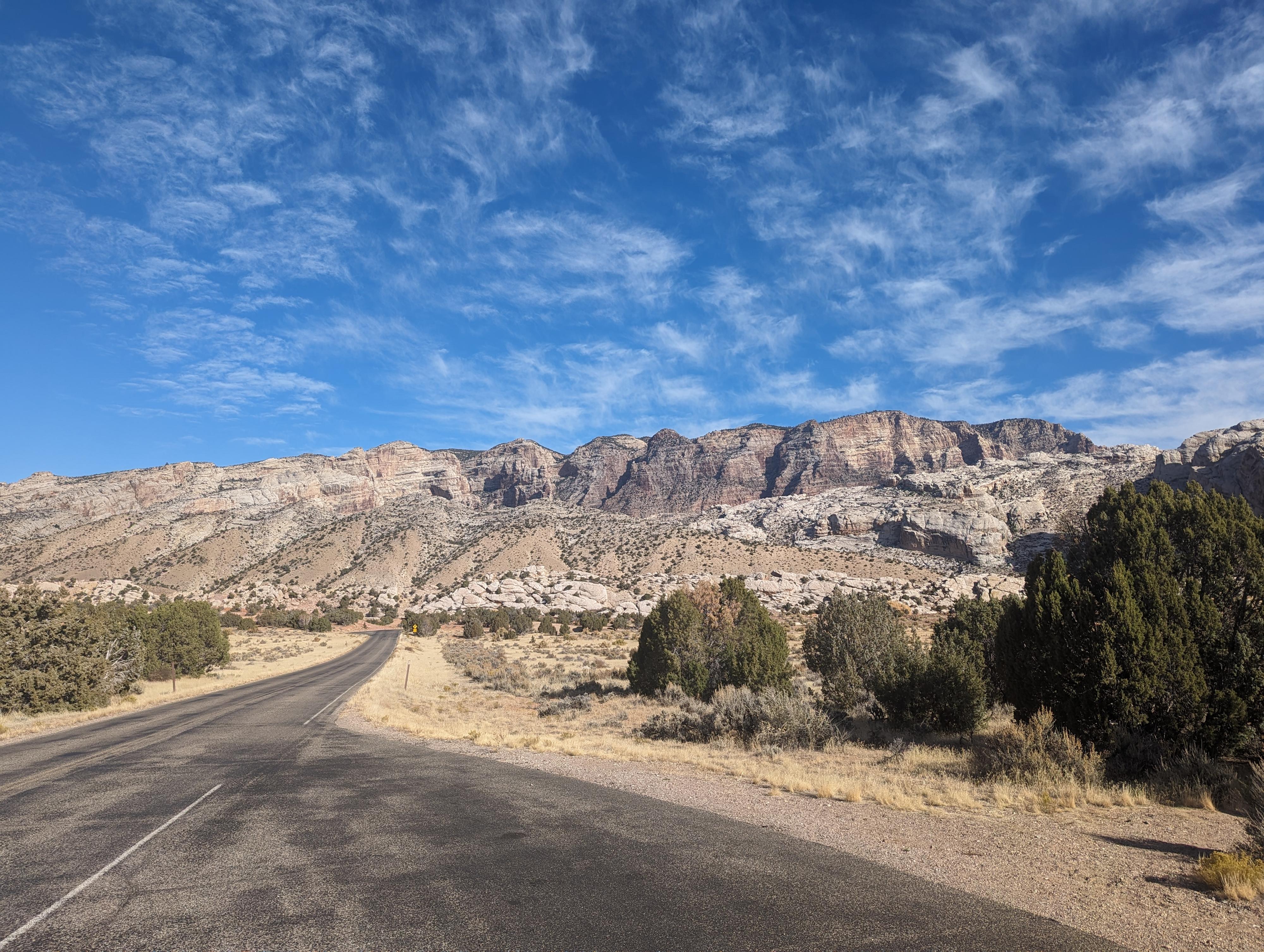
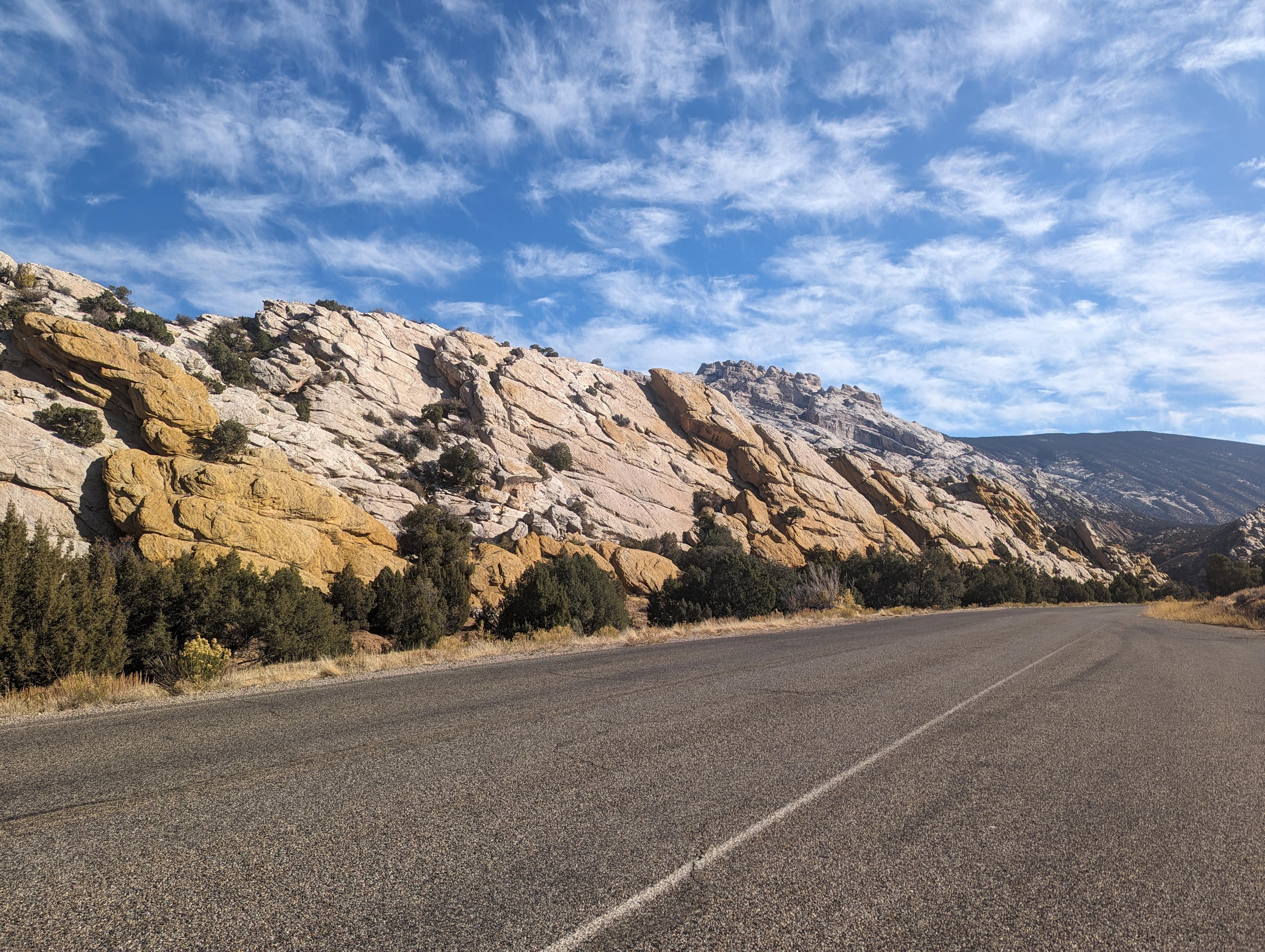
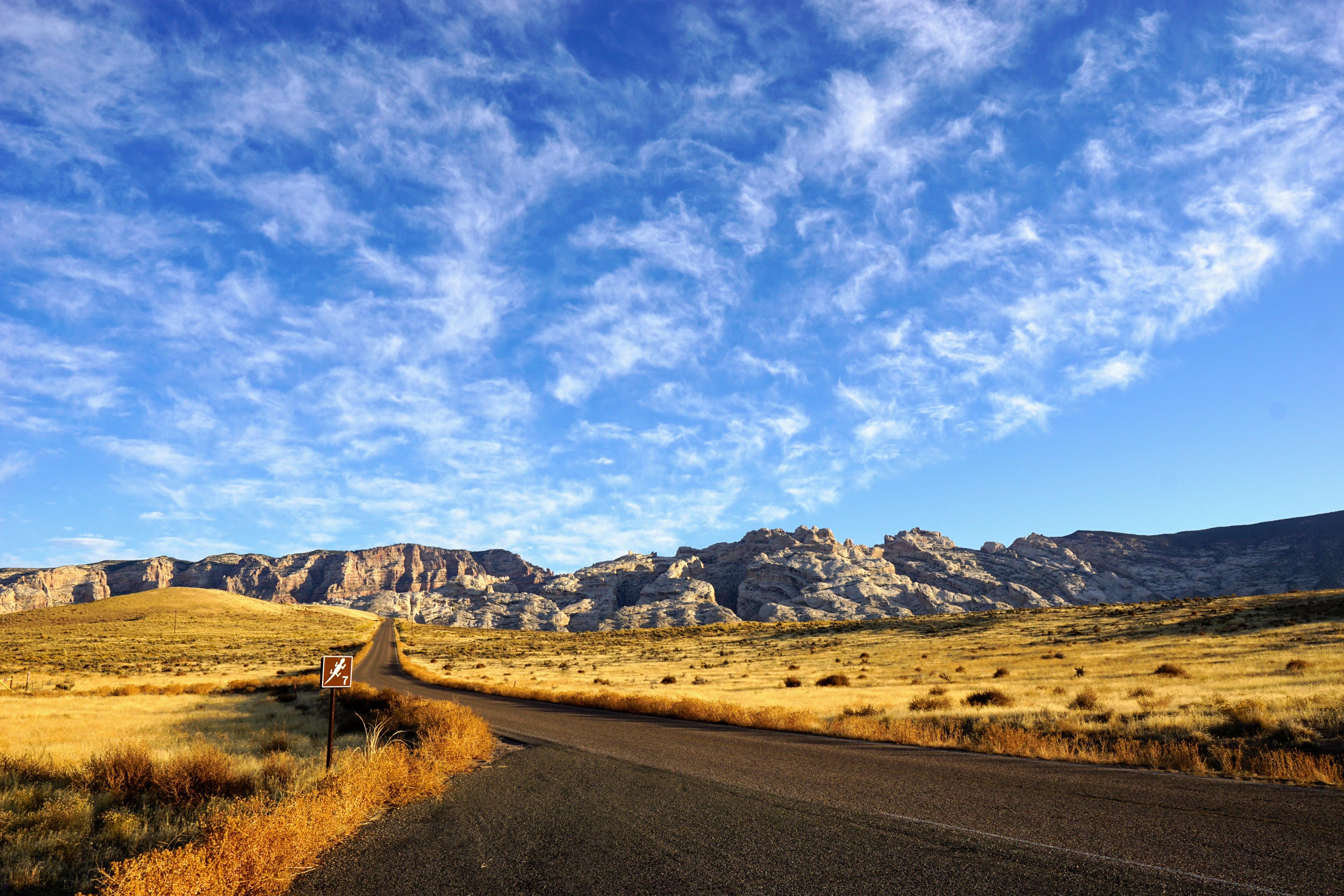
Views of Split Mountain Area.
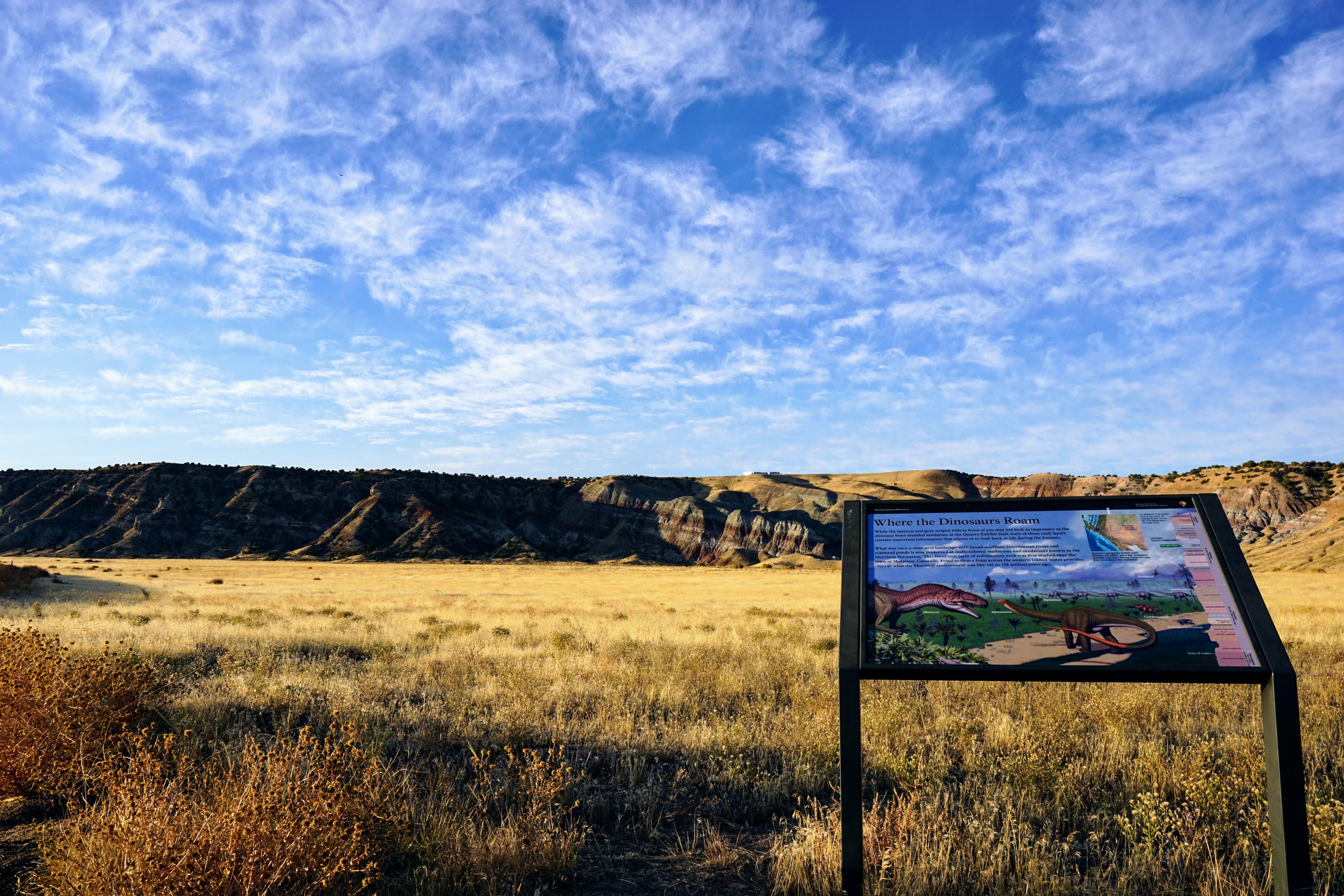
Site 4
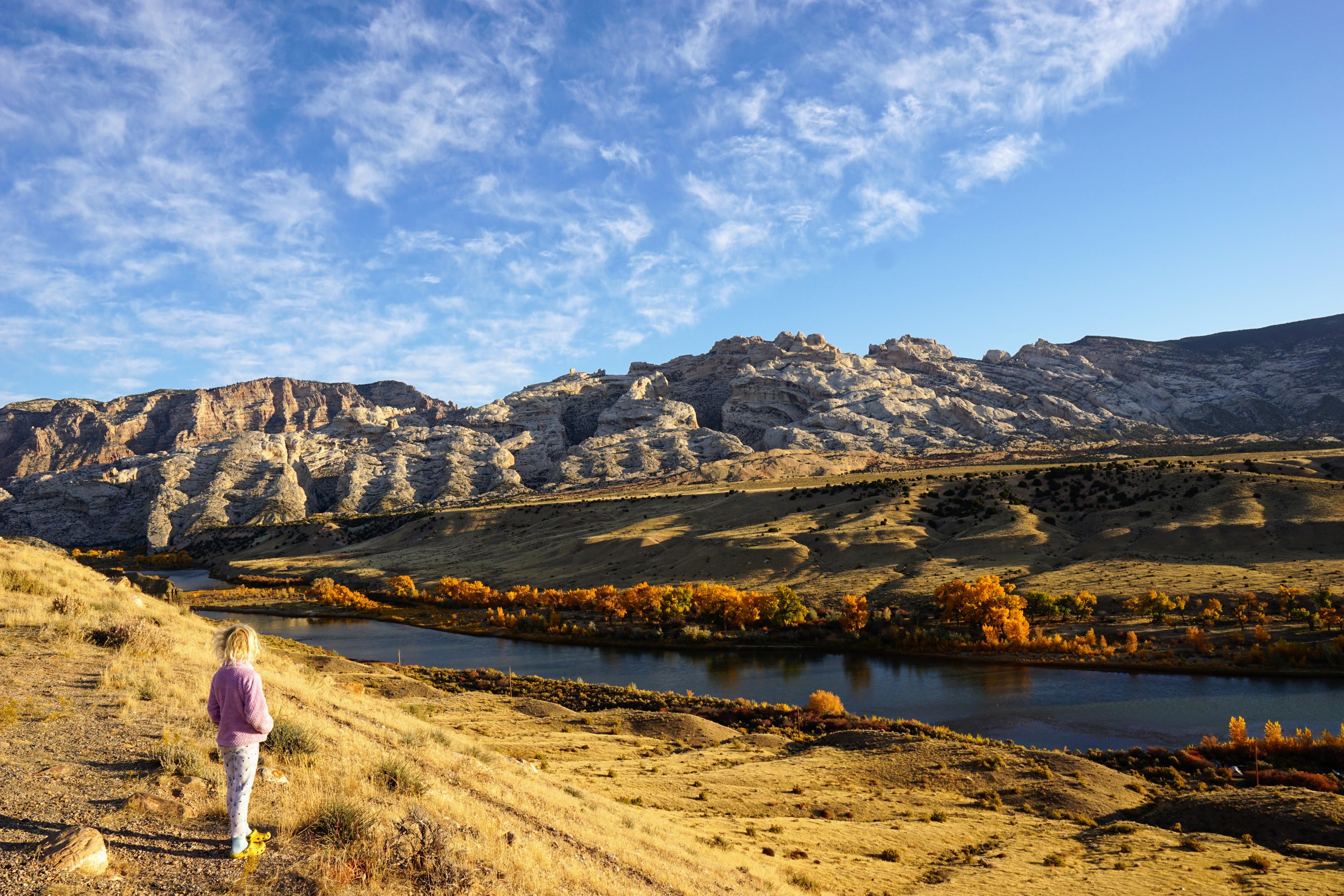
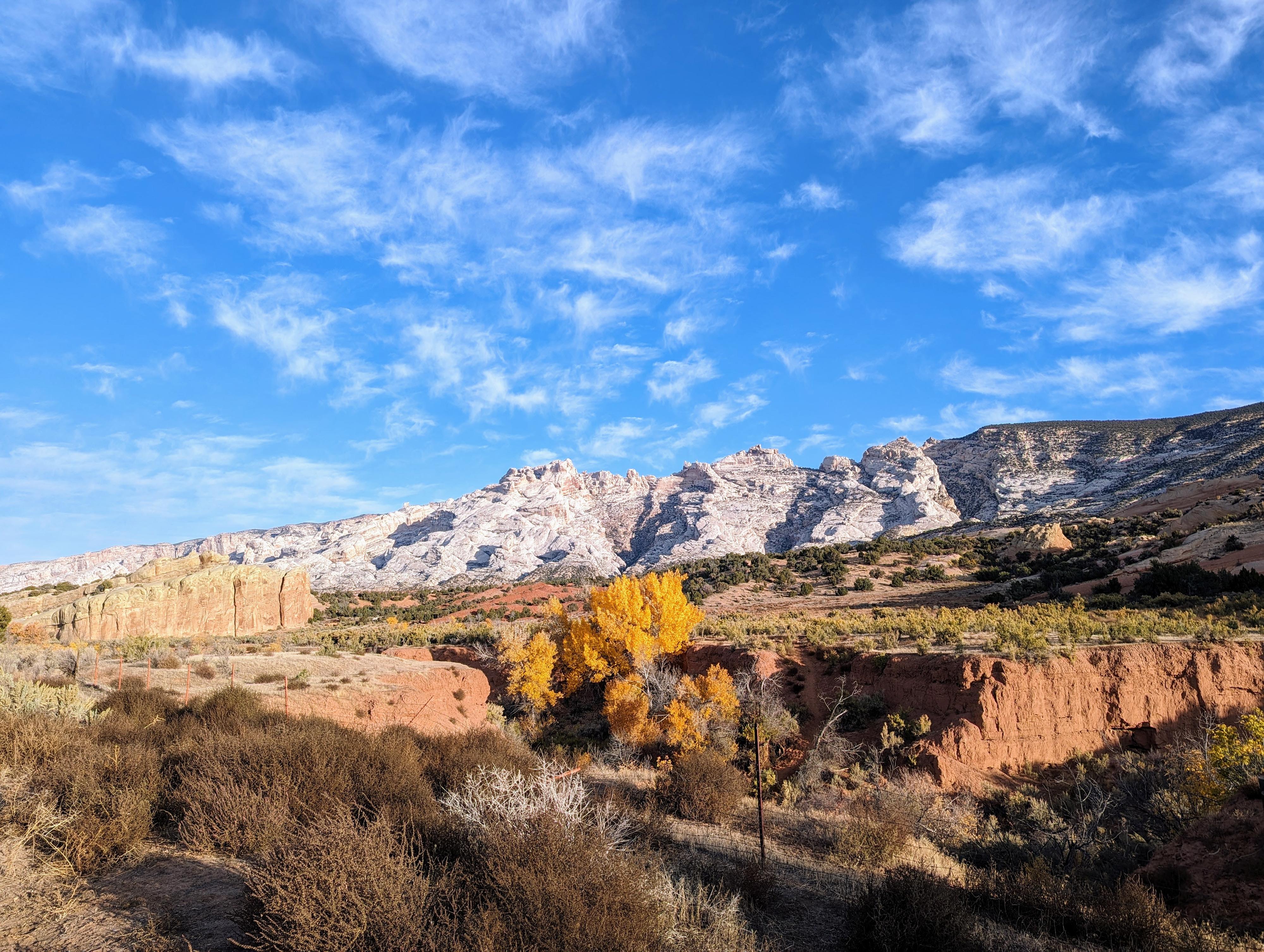
Great fall views of the Green River from Site #6.
Fall views from Site 7
Site 7 along the tour.
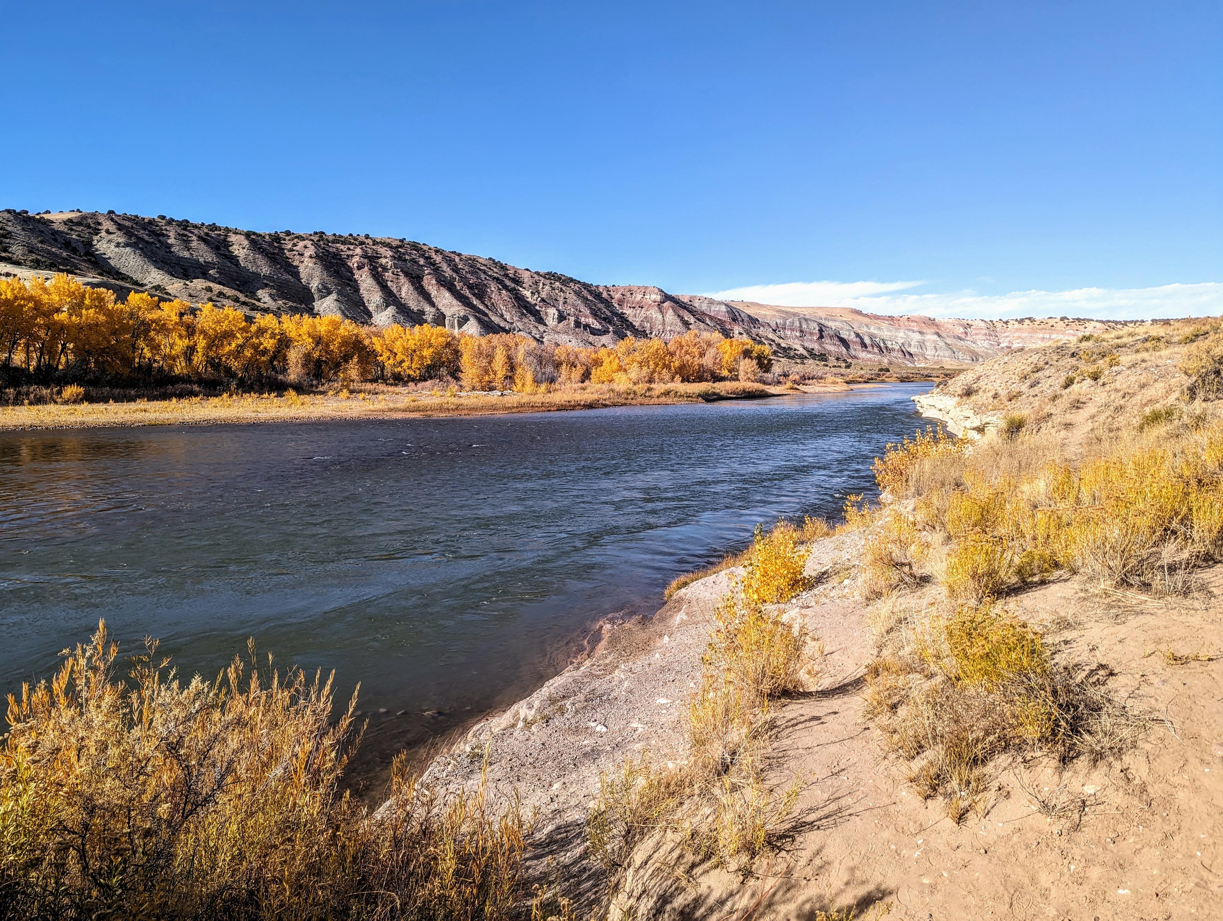
The river at Placer Point in fall colors.
Hard to photograph Chew Ranch Panel Area in morning light.
Turtle Rock
Near the Blue Mountain Junction
Elephant Toe Butte in the background behind the sign.
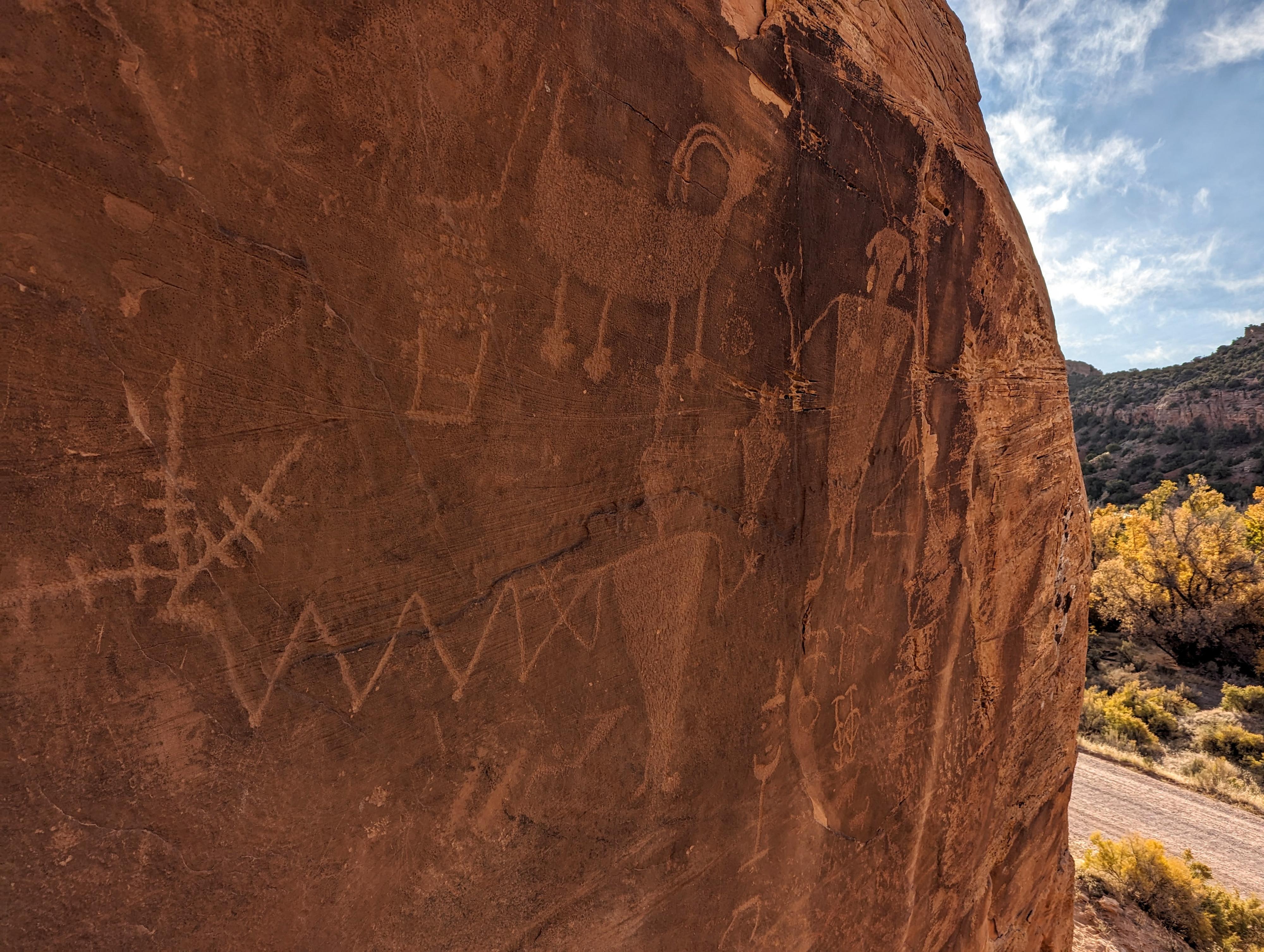
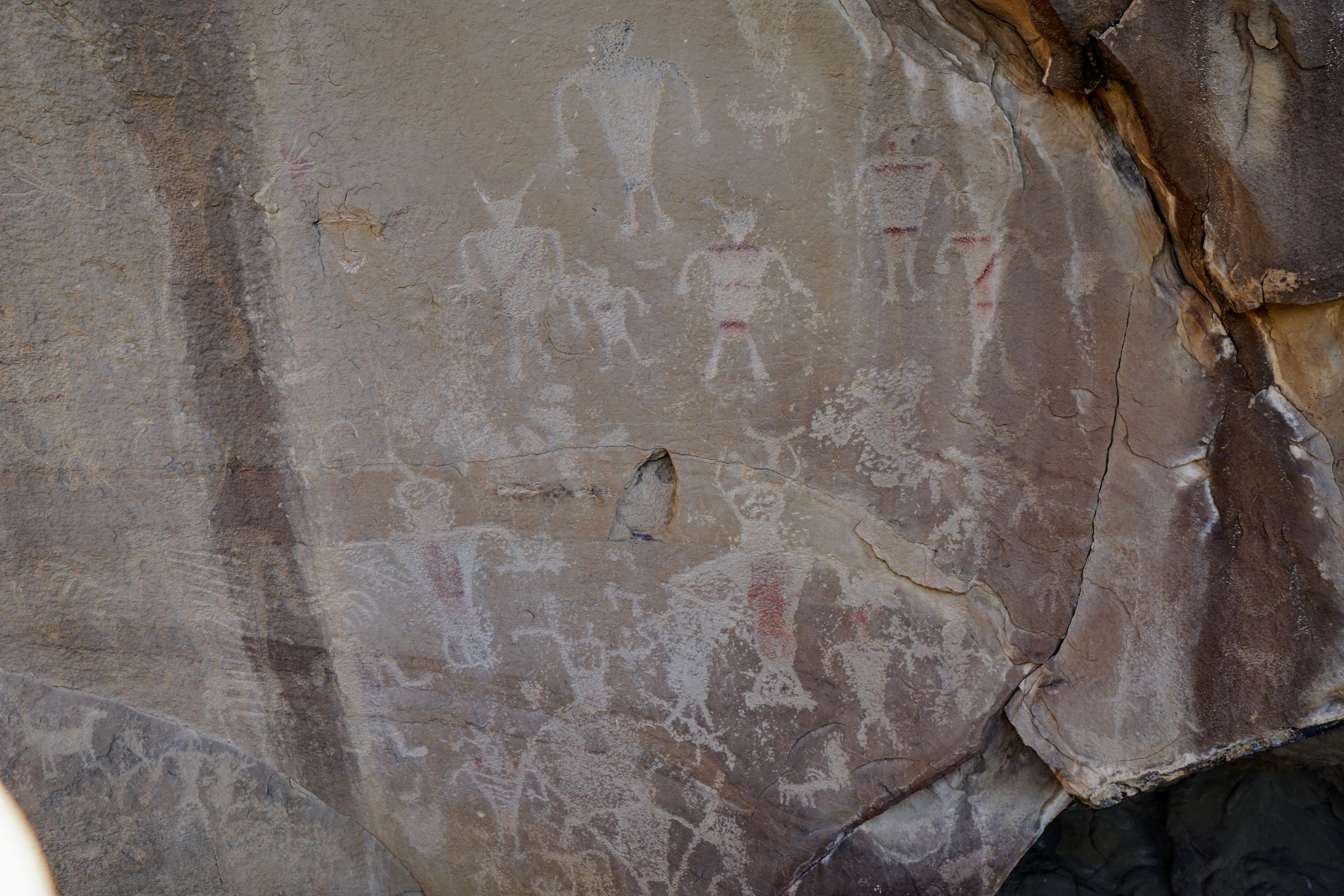
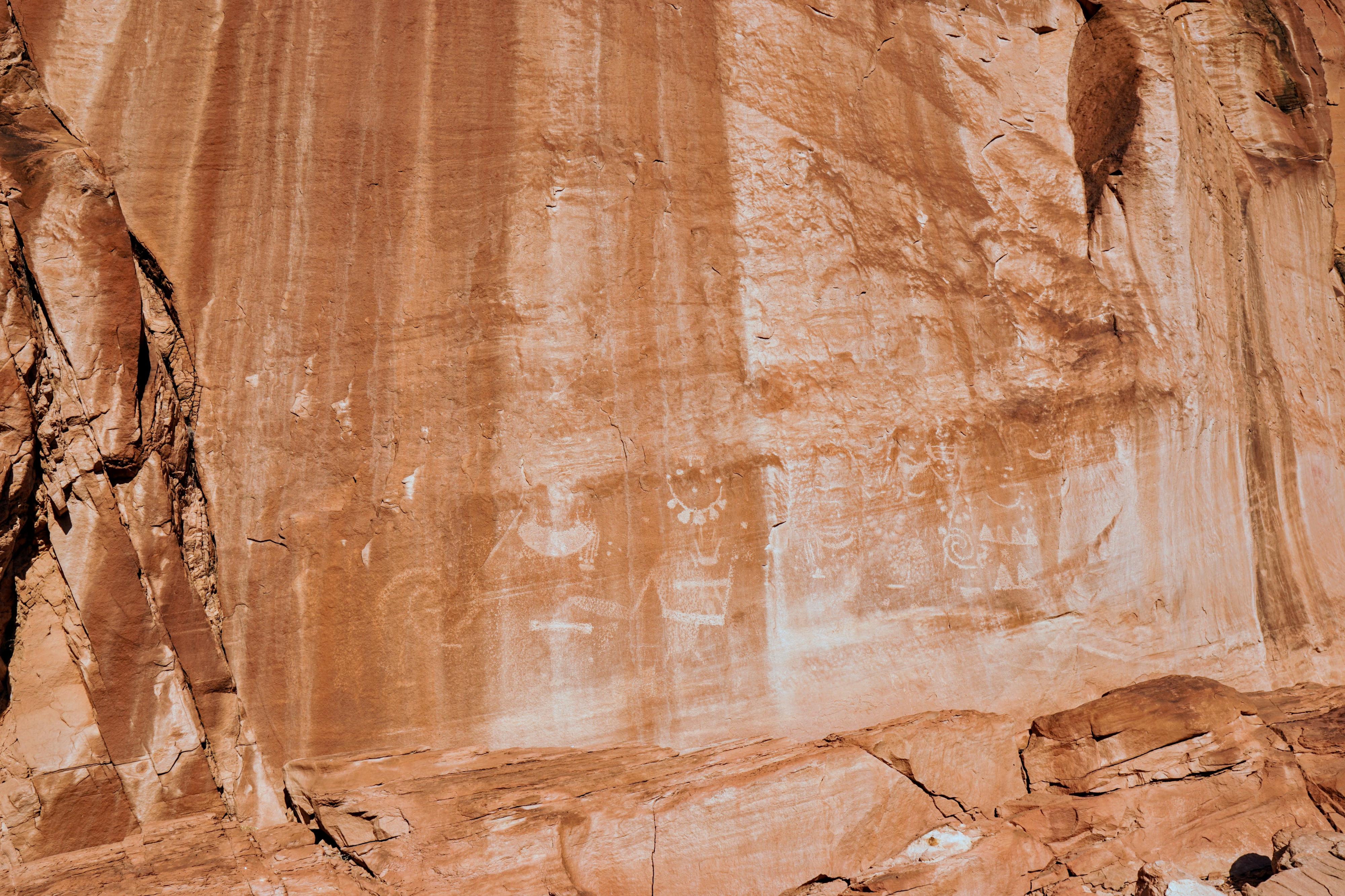
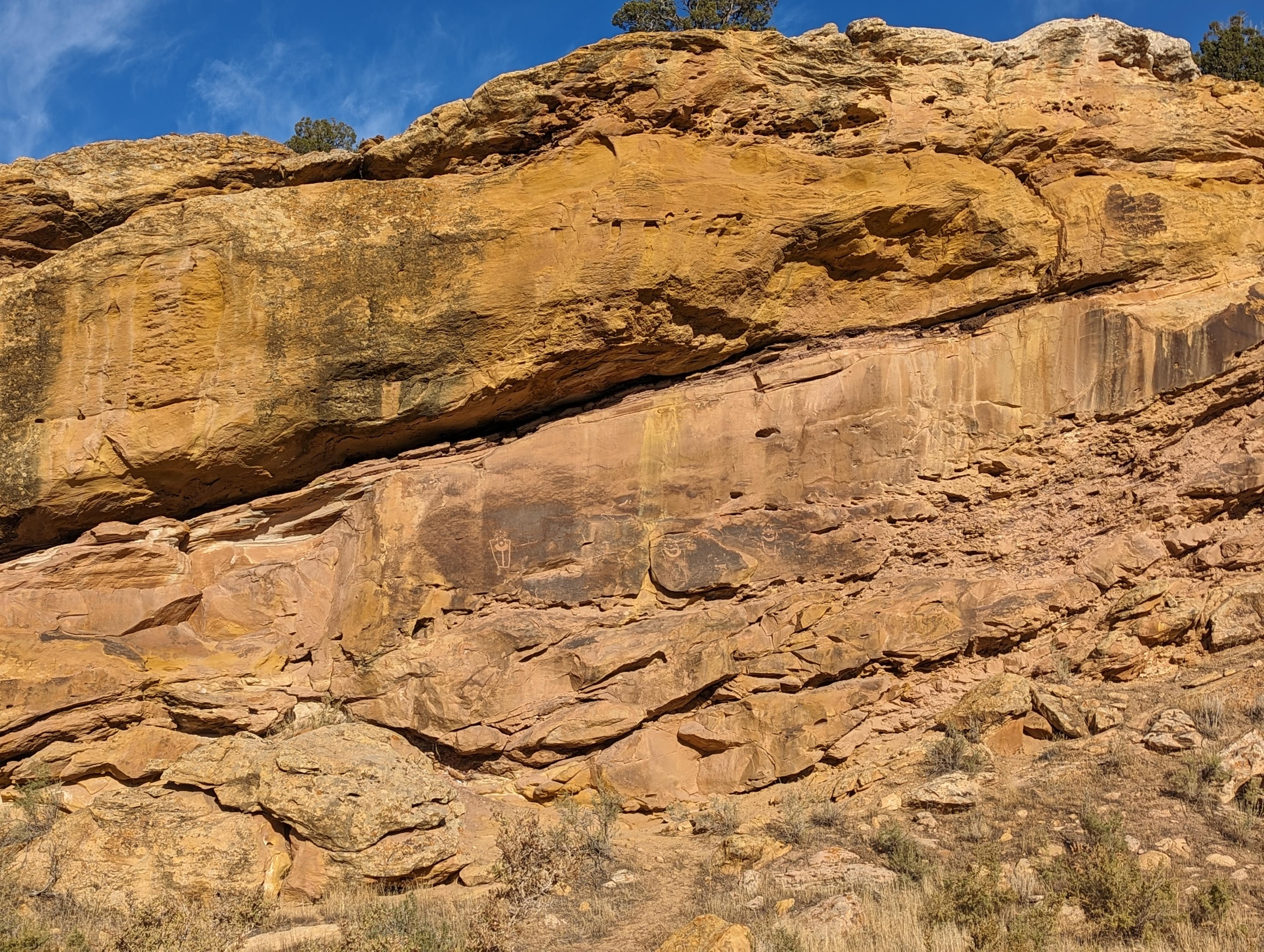
Petroglyphs at site 13
Rock art at site 13.
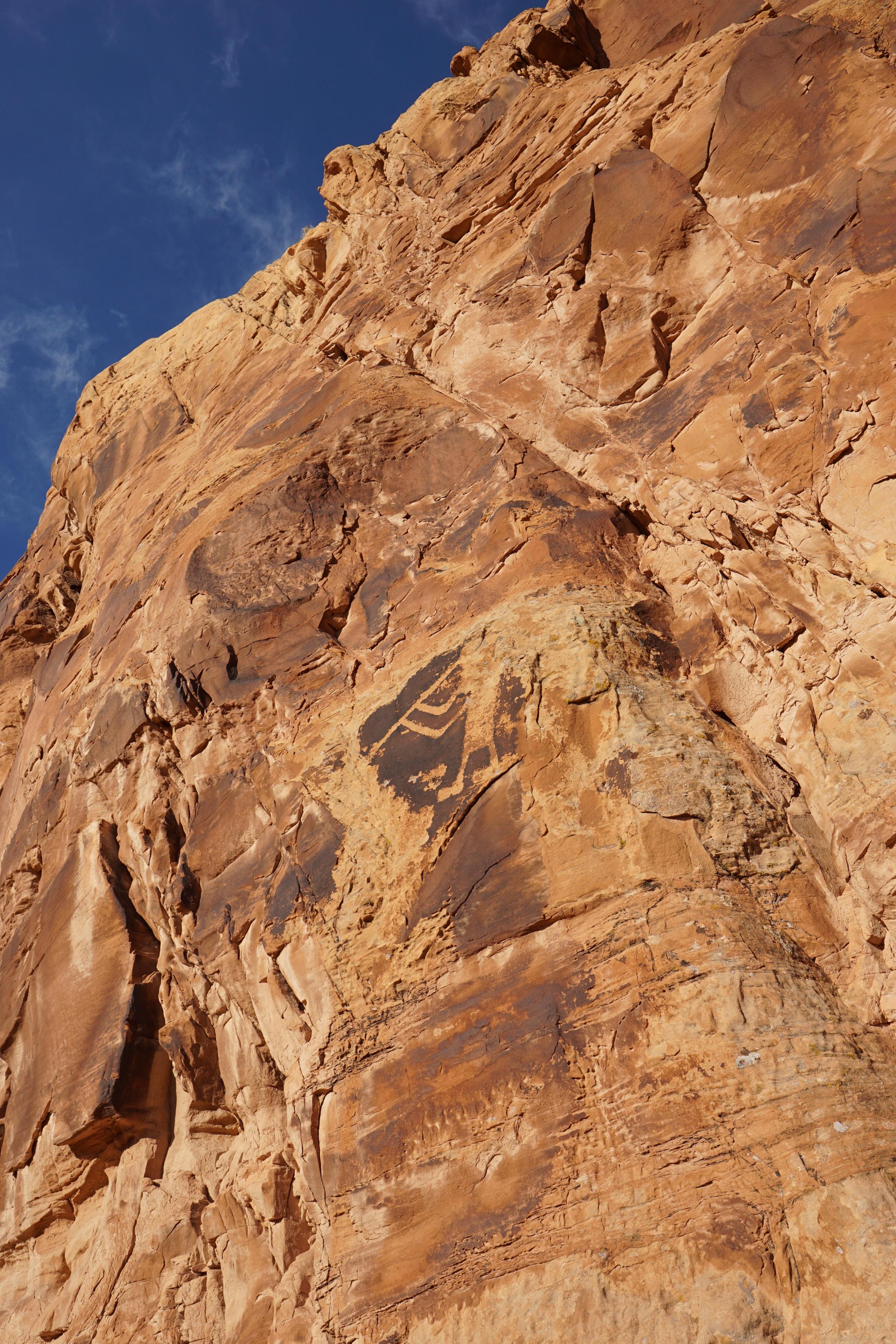
More rock art at site 14.
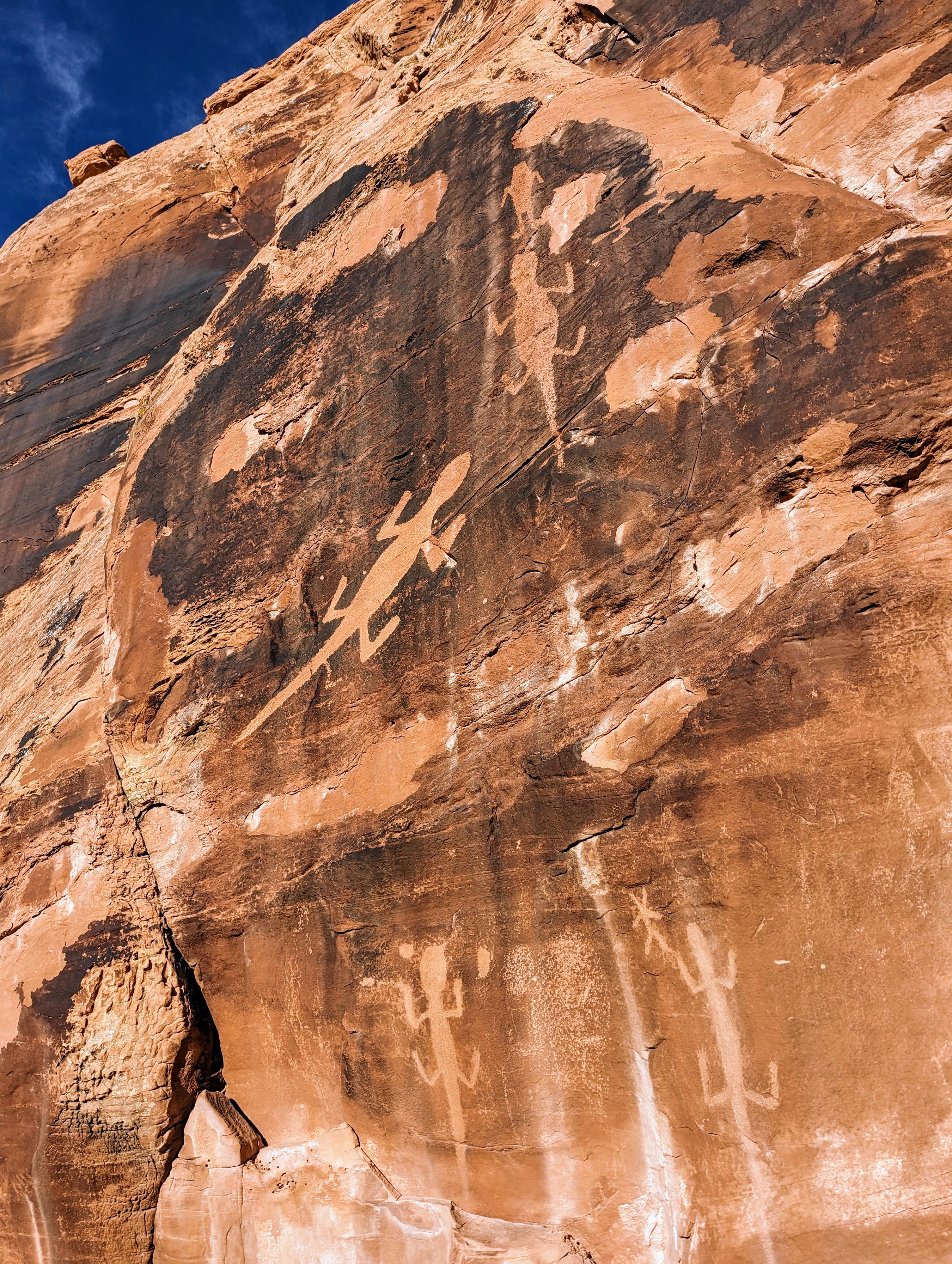
Lizard Panel in Dinosaur National Monument
Flute player at Dinosaur National Monument
Unmarked panel near the road.
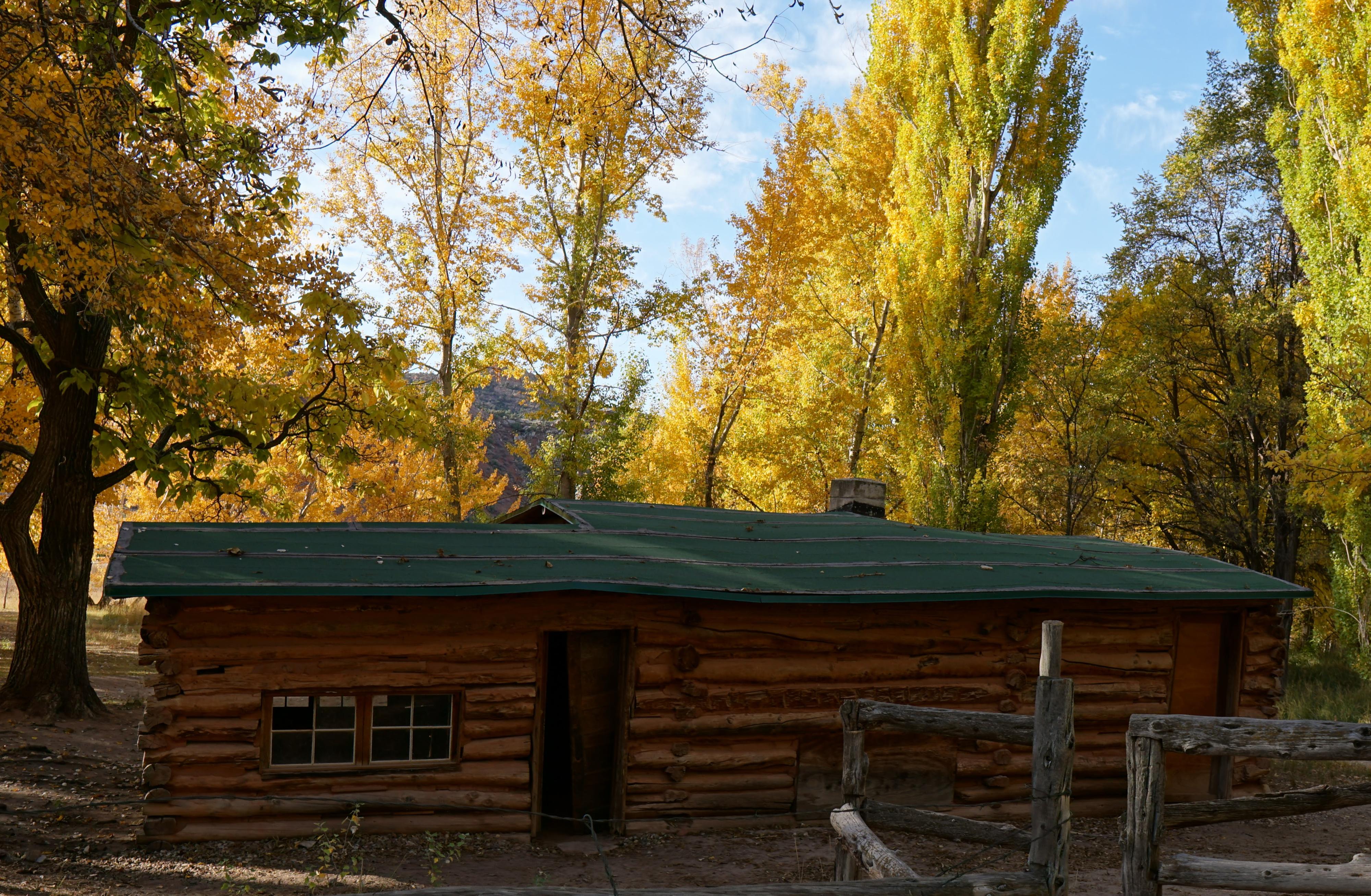
Morris Cabin
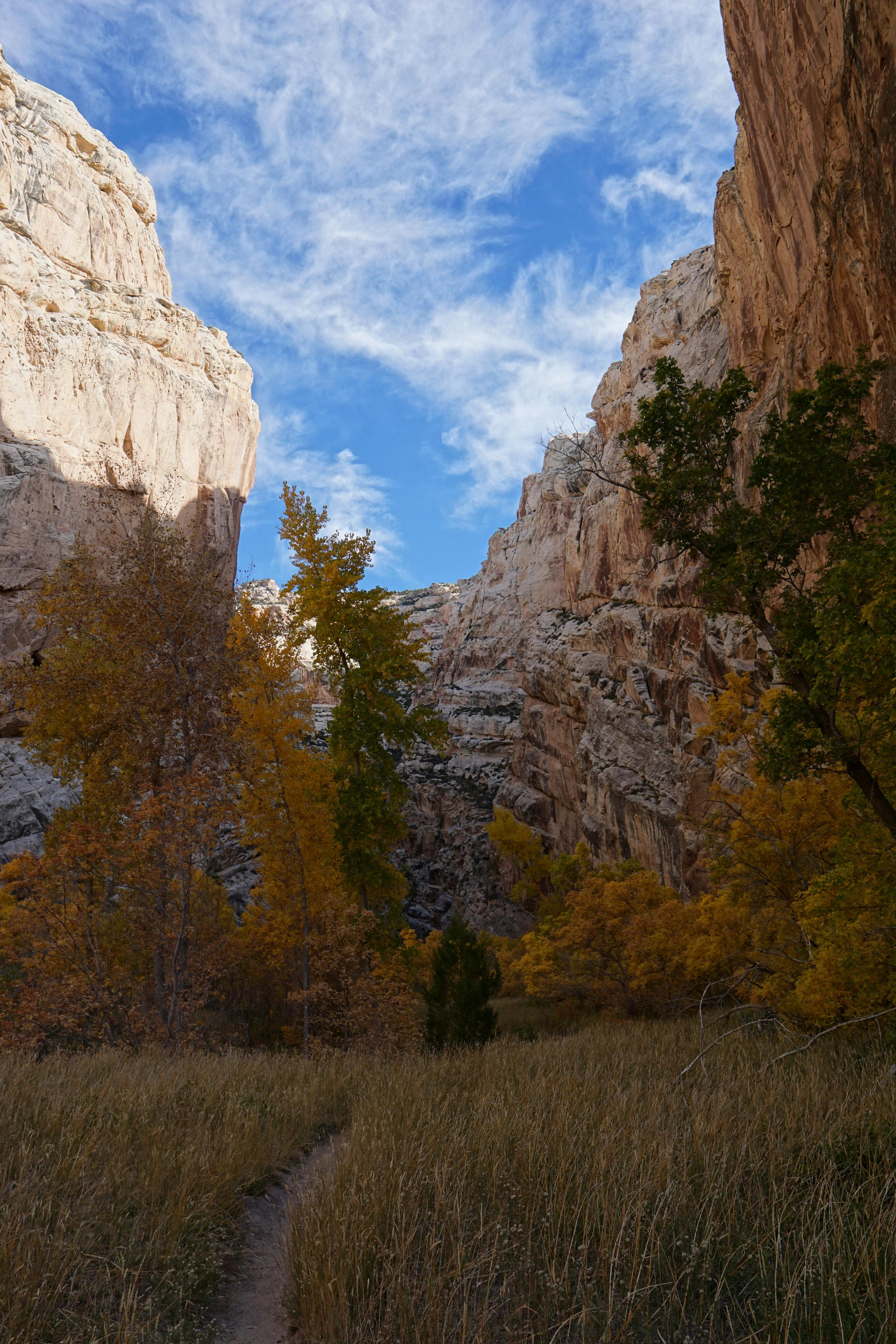
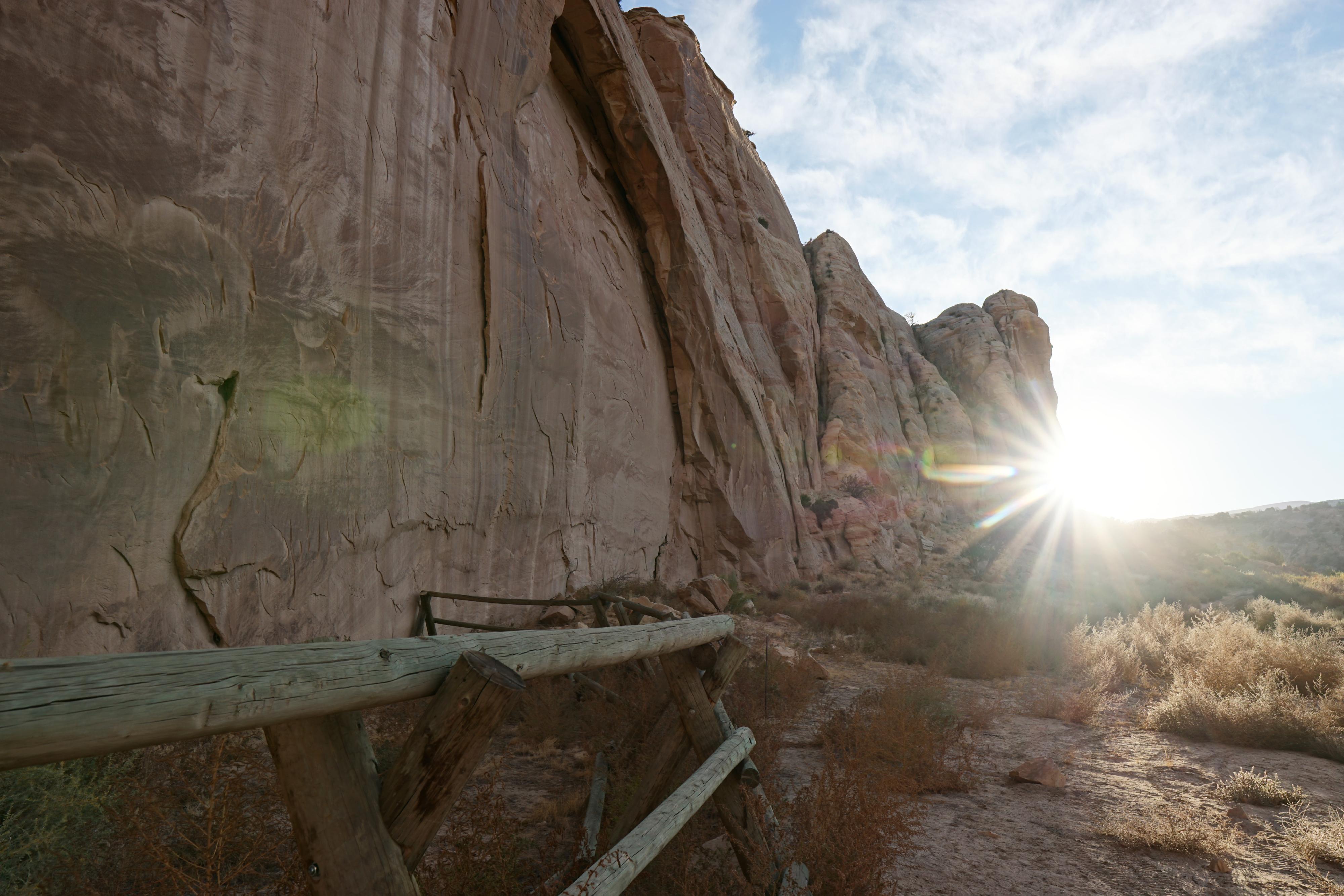
The lovely trail in Hog Canyon
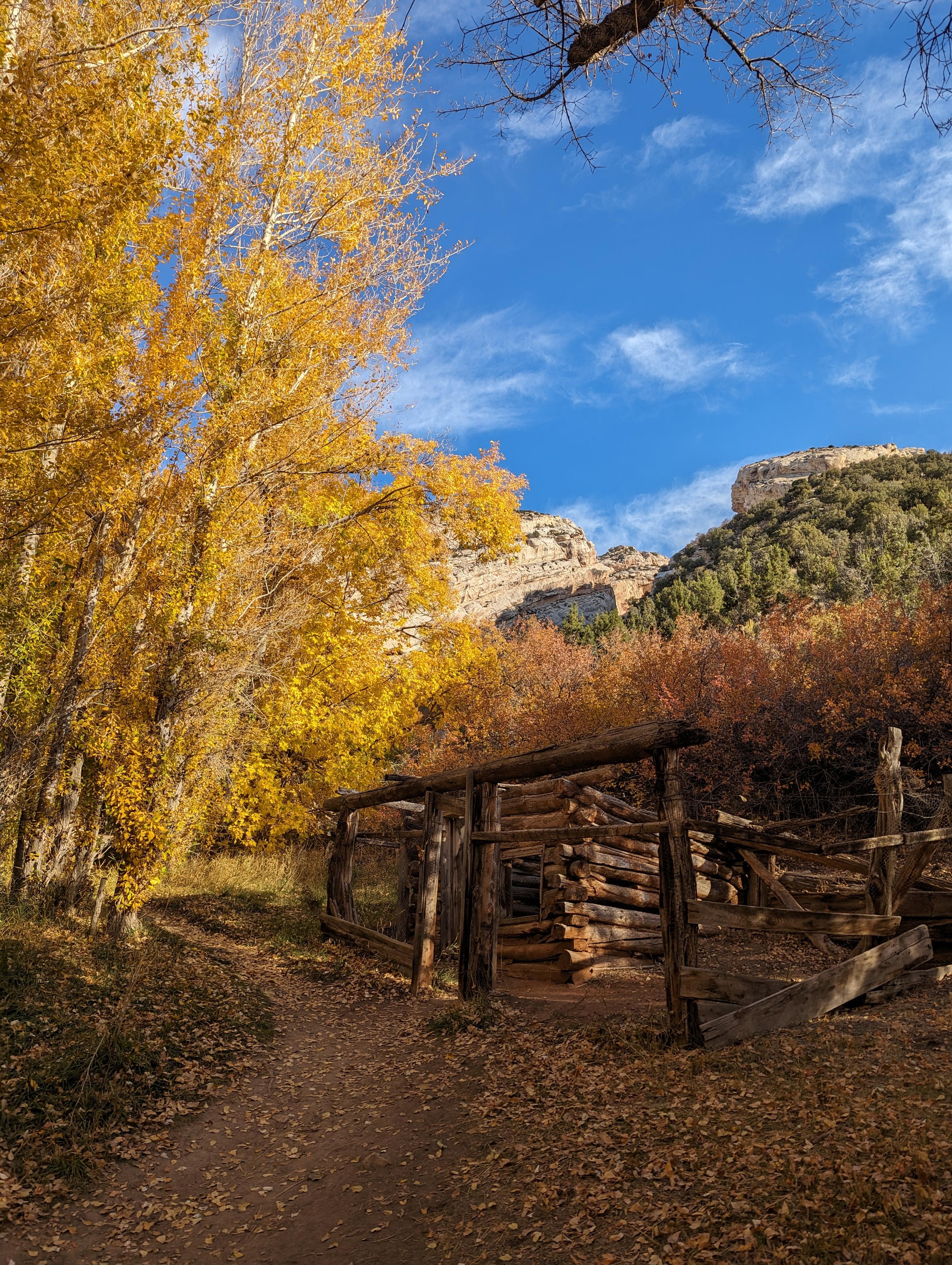
Chicken coop at Josie Morris Homestead.
Photos
Maps
")
")
12T 643494E 4477572N
40°26'11"N 109°18'29"W
12T 644869E 4477628N
40°26'12"N 109°17'31"W
12T 646217E 4477701N
40°26'14"N 109°16'34"W
12T 647573E 4477956N
40°26'21"N 109°15'36"W
12T 647644E 4478256N
40°26'31"N 109°15'33"W
12T 648071E 4478334N
40°26'33"N 109°15'15"W
12T 648142E 4478585N
40°26'41"N 109°15'11"W
12T 648585E 4476156N
40°25'22"N 109°14'55"W
12T 648613E 4475039N
40°24'46"N 109°14'54"W
12T 649387E 4474485N
40°24'27"N 109°14'22"W
12T 650015E 4474732N
40°24'35"N 109°13'55"W
12T 650408E 4474666N
40°24'33"N 109°13'39"W
12T 651818E 4476272N
40°25'24"N 109°12'37"W
12T 652718E 4475871N
40°25'10"N 109°11'60"W
12T 653101E 4475804N
40°25'08"N 109°11'43"W
12T 653676E 4475852N
40°25'09"N 109°11'19"W
12T 653923E 4475967N
40°25'12"N 109°11'08"W
12T 654256E 4476003N
40°25'13"N 109°10'54"W
12T 654858E 4476617N
40°25'33"N 109°10'28"W
12T 654854E 4476557N
40°25'31"N 109°10'28"W