Arch Tower and Cave Canyon | Northern Reef

Hiking Arch Tower and Cave Canyon - Northern Reef Hiking Arch Tower and Cave Canyon

Northern Reef

Overview

RATING: Moderate Hike
MAPS: Spotted Wolf Canyon, UT;

Thu

Sunny, with a high near 99. West northwest wind 7 to 12 mph.

99 | 68

Fri

Sunny, with a high near 99. North northwest wind 3 to 8 mph.

99 | 64

Sat

Sunny, with a high near 101.

101 | 65

Sun

Sunny, with a high near 102.

102 | 66

Mon

Sunny, with a high near 103.

103 | 68

View Full Weather Details
SEASON: Spring, Fall, Winter
GEAR: Standard Hiking Gear. Moderate navigation. Good map skills or a GPS required.
WATER: Generally a few seeps and small pools, bring all you need. Floods can change the sand levels, making for some wading after recent rains.
FLASHFLOOD: Low

Thu

Sunny, with a high near 99. West northwest wind 7 to 12 mph.

99 | 68

Fri

Sunny, with a high near 99. North northwest wind 3 to 8 mph.

99 | 64

Sat

Sunny, with a high near 101.

101 | 65

Sun

Sunny, with a high near 102.

102 | 66

Mon

Sunny, with a high near 103.

103 | 68

View Full Weather Details
Lucy pondering the ladder climb.

Lucy pondering the ladder climb.

Pools in cave canyon.

Pools in cave canyon.

Though close to I-70 as the crow flies, this region of the Swell feels remote and seldom visited. A gem of an area to visit, your more likely to encounter cows, coyotes, and wild burros than other people.

The hike has a bit of everything. It starts up Cave Canyon, which slowly deepens as it enters the reef. After visiting a large natural alcove (cave), it passes under one of the few natural bridges in the Swell before reaching the top of the reef and expansive views of Mexican Mountain and the Mexican Bend area. It takes an easier route back, down Arch Tower canyon.

Be sure to bring a camera, the view both in the canyons, and of Mexican Bend are spectacular.

Conditions Note: The hike used to involve a short wooden ladder to surmount a small obstacle. This was removed in the winter of 2023 by the BLM. The route now requires either a boost from a partner or a climbing move to get up this obstacle. It should still be surmountable by most groups, but be aware the ladder has now been removed.
The natural bridge in cave canyon

The natural bridge in cave canyon

Arch Tower

Arch Tower

Getting There

The trailhead starts north of I-70 on highway 6/191. Go north from I-70 about 4 miles to milepost 295.3. Here there is a dirt road on the west (left) side of the highway.

  • Reset your odometer as you turn off highway 6. ( 12S 560619E 4319864N / 39°01'33"N 110°17'59"W )
  • 2.3 - Junction go right. ( 12S 557746E 4317949N / 39°00'31"N 110°19'59"W )
  • 3.6 miles - Jct, stay left on main road. ( 12S 556412E 4319529N / 39°01'23"N 110°20'54"W )
  • 6.6 miles - 4 way junction. Smith Cabin is straight ahead a short distance. Go left and reset your odometer. ( 12S 552368E 4320451N / 39°01'54"N 110°23'42"W )
  • Stay on the main dirt road as you travel south. There are several small side roads that make for good primitive campsites. At 0.9 is the first of several rough spots where the road descends and crosses a wash. This is the worst section. ( 12S 552568E 4319035N / 39°01'08"N 110°23'34"W )
  • At 3.0 miles, while in the wash, Arch Tower canyon comes in on the right. It is easy to miss. Just after this, the road crosses a sandy section and climbs out of Tidwell Draw. ( 12S 552716E 4316085N / 38°59'32"N 110°23'29"W )
  • 3.2 miles - Top of a small hill. This is the exit trailhead. If you only have one vehicle, park here and walk the road section. ( 12S 552551E 4315753N / 38°59'21"N 110°23'36"W )
  • 3.8 miles - Small side road that goes up the bottom of Cave Canyon on the right. This is the trailhead and has decent primitive camping. ( 12S 552394E 4315061N / 38°58'59"N 110°23'42"W )
Diane coming down Arch Canyon

Diane coming down Arch Canyon

Diane contemplating the jump to stay dry.

Diane contemplating the jump to stay dry.

Route

To The Cave
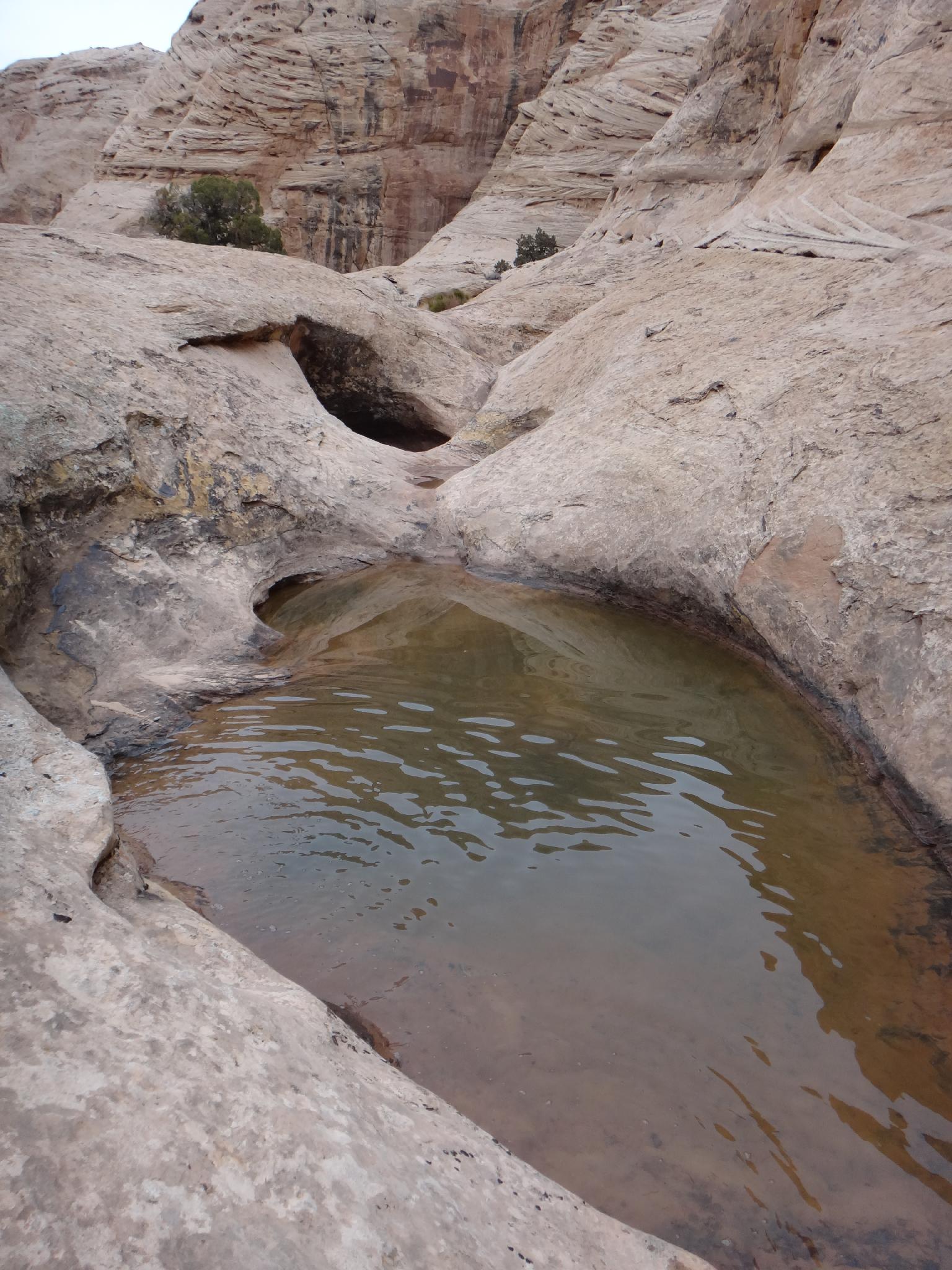
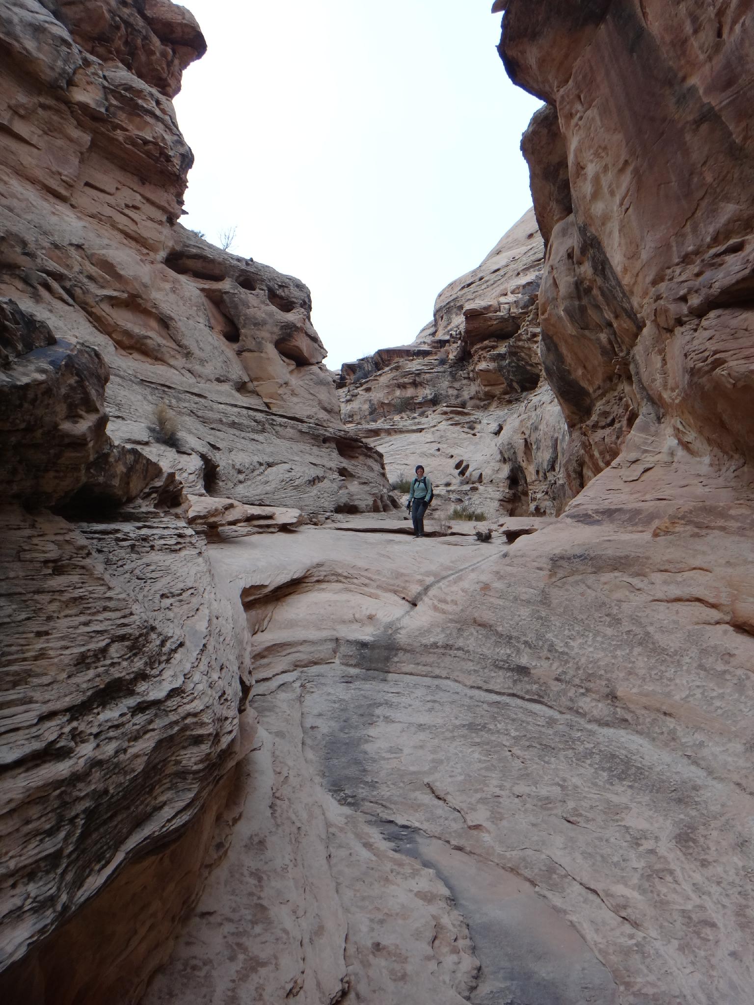
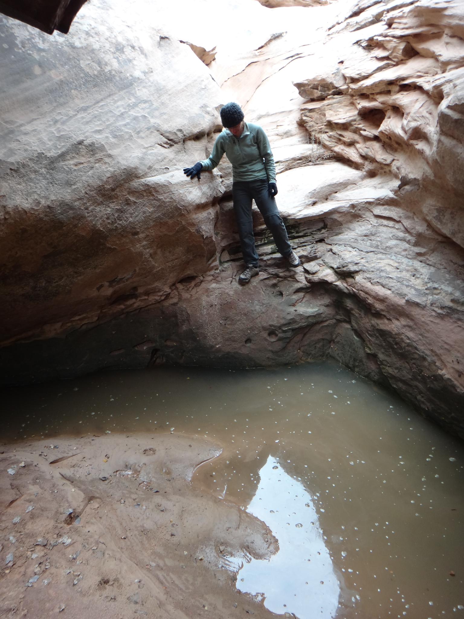
A few minutes up from the trailhead, the canyon forks in an area with seeps. Go left here, following the cow/social trail. It meanders up the canyon bottom as the canyon deepens. Ascend a small dryfall (3rd or easy 4th class) before the namesake of the canyon, a large cave on the north (right) side becomes visible. An easy slickrock ramp leads to the cave.

To The Overlook
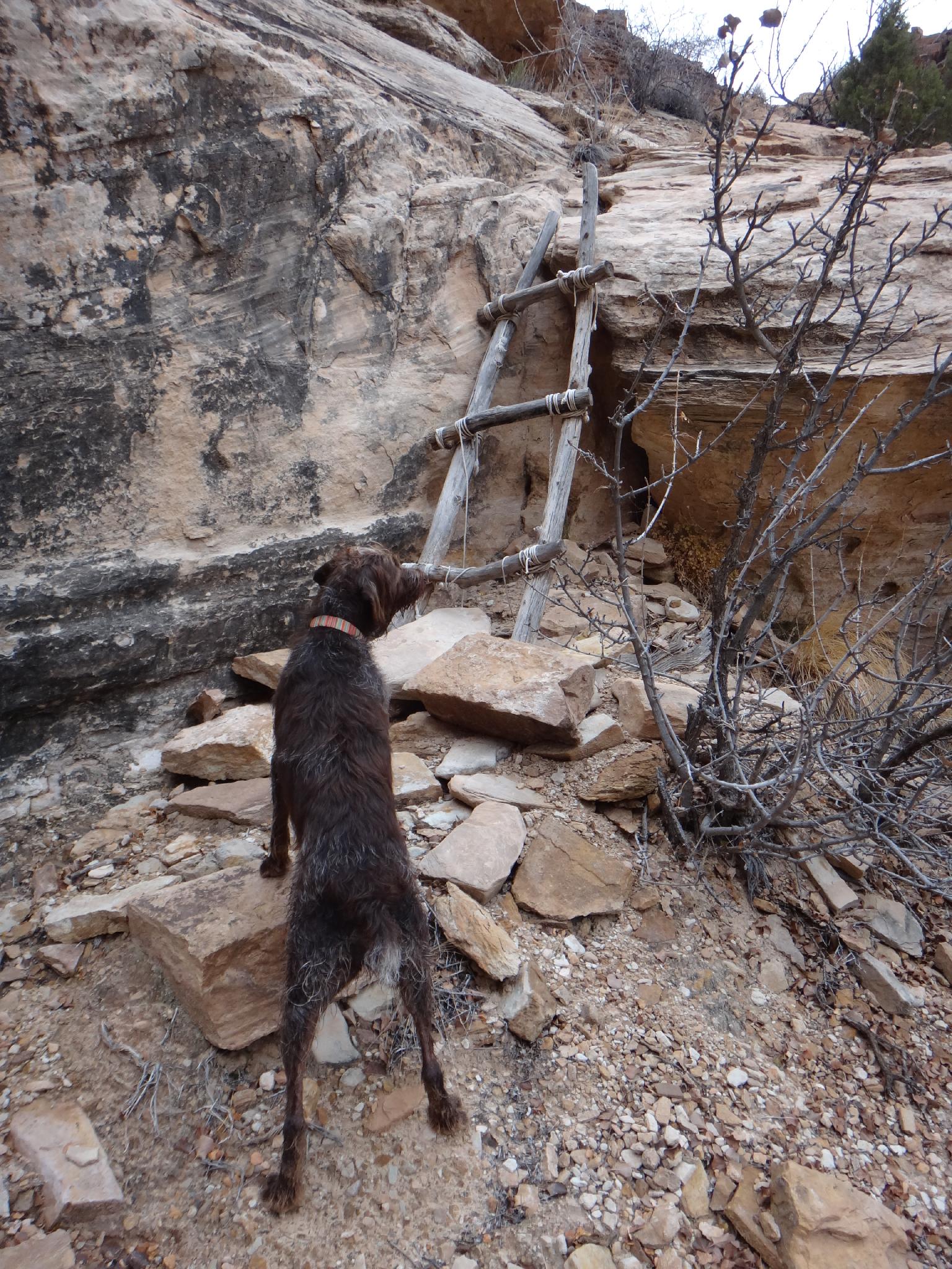
From the cave, continue up canyon, reaching a series of dryfalls shortly. The first couple of levels are passed by climbing up on the right and circling back. The last step used to be up a wood ladder, but now will likely require a partner assist for some or climbing move or two.

IMPORTANT: Once up the last step be sure to go left. Two forks coalesce here, and the climb tends to lead you up the right one. The route, however, goes up the left one. A social trail here goes up the left fork, but it is easy to miss.

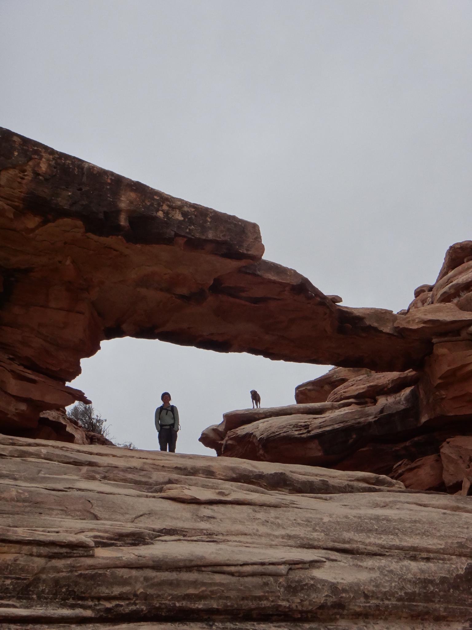
The canyon begins to open before passing under a natural bridge. 10-15 minutes after the bridge, begin heading north west, just right of the domes visible on the skyline. This reaches the top of the reef and overlooks Mexican Bend. (30-40 minutes passed the bridge)

Down Arch Tower Canyon
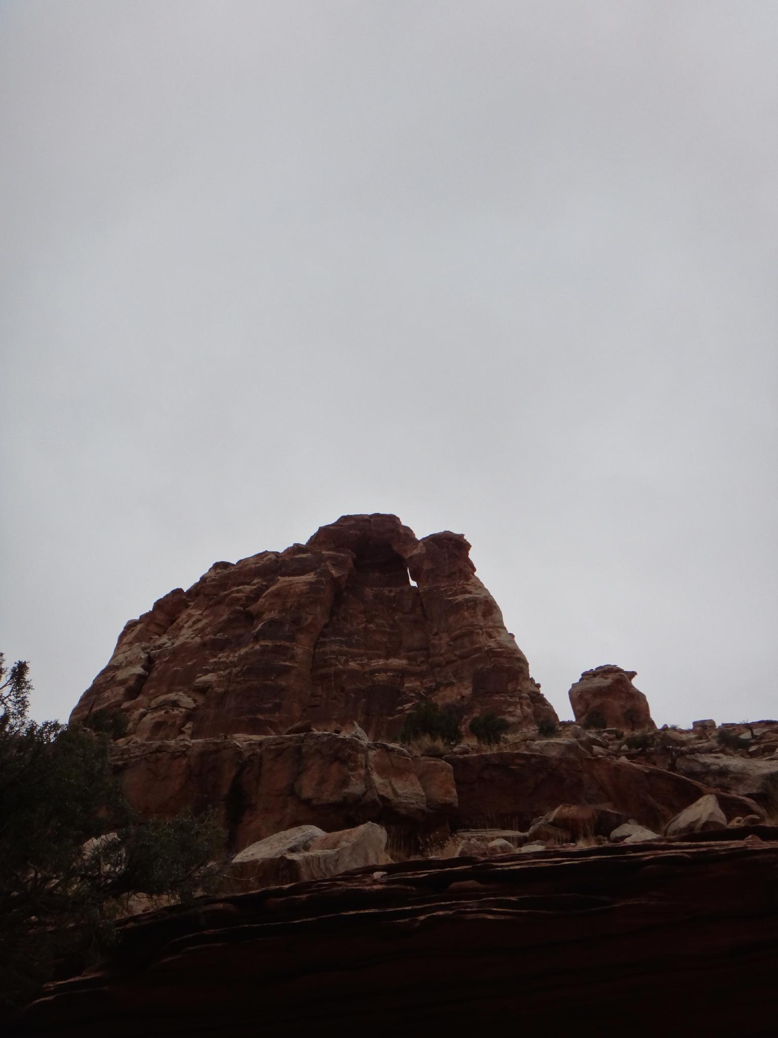
From the overlook, Arch Tower and Arch Tower Canyon are visible to the north. The canyon is just before the obvious big cliff. To reach it, head north east, taking the path of least resistance. Once in Arch Tower Canyon, head down canyon. It is a bit of a boulder scramble at times. Most dryfalls are passed on the right. Near the bottom, a dryfall looks difficult to bypass, but yields easily to a downclimb with a spot.

As the canyon opens, a seep flows over a sandstone slab and the area shows much cow use. Exit on a cow trail to the south up the small hill. If you left a vehicle at the exit trailhead, it will be visible a short distance away from the top of the hill.


Maps

Route / 6.90 miles / Elevation Range 4,354 - 5,533 ft.
Printable Maps:

Trailhead

12S 552393E 4315060N

38°58'59"N 110°23'42"W

Cave

12S 550919E 4315257N

38°59'05"N 110°24'44"W

Ladder

12S 550815E 4315134N

38°59'01"N 110°24'48"W

Bridge

12S 549397E 4315365N

38°59'09"N 110°25'47"W

Overlook

12S 548506E 4316434N

38°59'44"N 110°26'23"W

Arch Tower

12S 549660E 4316359N

38°59'41"N 110°25'36"W

Comments

Want to make a comment? Login and let yourself be heard.