 Hiking
Avenues Twin Peaks
Hiking
Avenues Twin Peaks
Salt Lake City
Overview
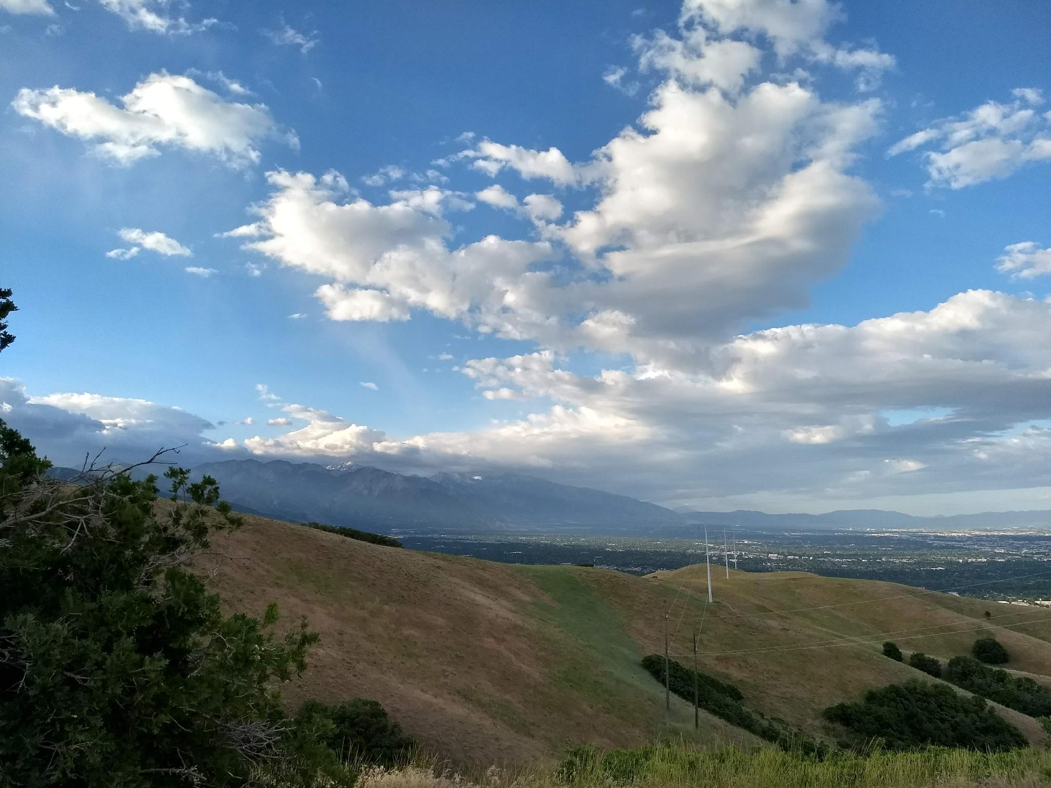
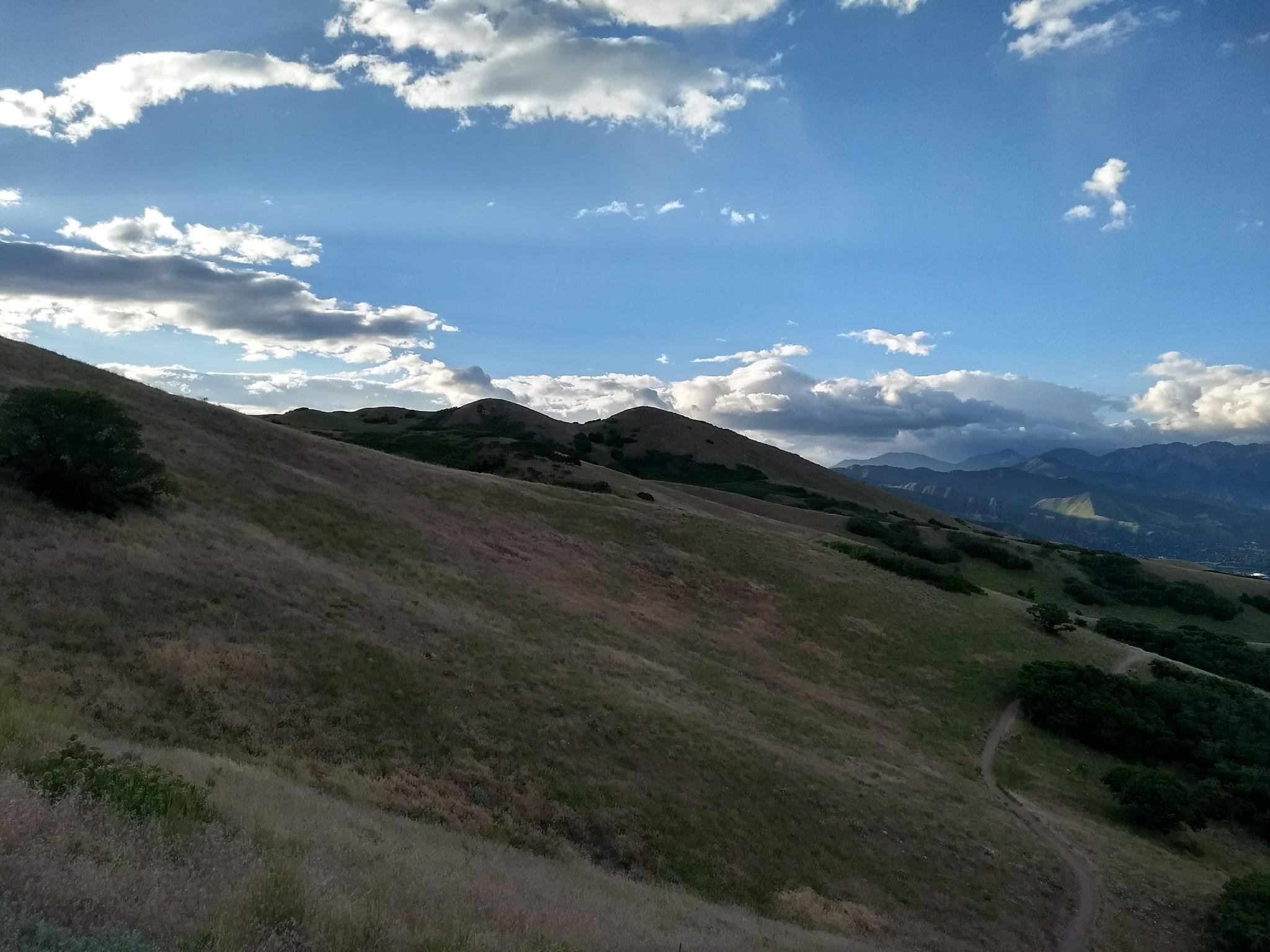
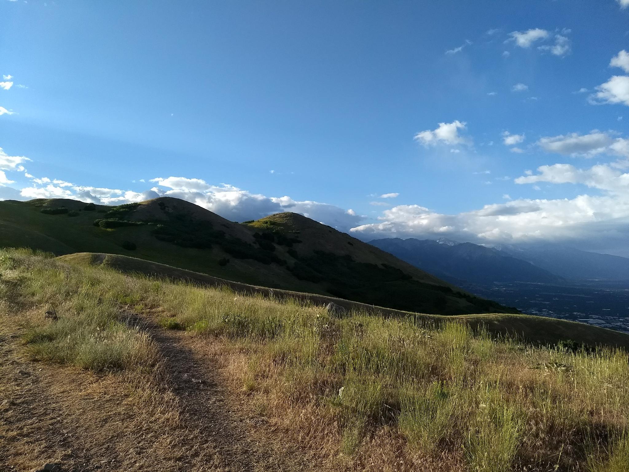
Looming above the Avenues neighborhood in Salt Lake City, Avenues Twin Peaks are the two distinct peaks separated by a small saddle. The name peak may be a bit generous, as the summits are not much higher than the surrounding foothills.
Avenues Twin Peaks is a very popular evening hike. Watching the sunset over the city, Wasatch Mountains, and foothills is magical! At about 4 miles, it is a reasonable distance to get in after work on a summer evening before the sunsets. My first time hiking the peaks was as a winter full moon hike and was delightful. Most other times I have hiked the summit have been in late spring when the wildflowers are in bloom. The spring wildflowers, in my opinion, are not to be missed and quite stunning!
Getting There
The trailhead is at the top of the Avenues neighborhood in Salt Lake at the Terrace Hills Trailhead.
From downtown SLC, go west on West Temple to I Street. Go north up I Street to 13th Avenue. Turn right on 13th Avenue and follow it Terrace Hills Drive. Go left on Terrace Hills Drive and follow it as it meanders up to its terminus at the end of a cul-de-sac. There are a couple of trails that leave from here. The trailhead you want is the most obvious one on the right (east) side of the cul-de-sac.
Route Description
From the trailhead, follow the main trail as it ascends Valleyview Canyon. There are a few small spur trails, always stay on the main, wide path. At 0.3 miles, a 4-way junction is reached. Stay straight, still on the obvious main track.
About 0.8 miles (30 minutes) from the trailhead, the trail comes to a significant 5-way junction at a small pass to City Creek Canyon. Go straight here, on the steep single track that angles up and right from the intersection. It quickly reaches the ridgeline and becomes more mellow.
Follow the ridgeline, staying left (on the ridgeline) at the next junction. The hike continues along the ridgeline, then reaches a crossroads. Go right (south) to head for the Avenues Twin Peaks. (The sweeping trail that goes north continues to Little Black Mountain.) The trail climbs the first of the Twin Peaks, then steeply descends to a saddle and up to the other summit.
Photos
Maps

12T 427189E 4515943N
40°47'29"N 111°51'47"W
12T 427610E 4516107N
40°47'34"N 111°51'29"W
12T 427976E 4516643N
40°47'51"N 111°51'14"W
12T 428670E 4516607N
40°47'51"N 111°50'44"W
12T 429121E 4516486N
40°47'47"N 111°50'25"W
12T 428986E 4516168N
40°47'36"N 111°50'30"W