 Hiking Herdina Park
Arches National Park
Overview
|
Tue 56 | 28 |
Wed 63 | 37 |
Thu 57 | 33 |
Fri 61 | 33 |
Sat 64 | 38 |
| View Full Weather Details | ||||
|
Tue 56 | 28 |
Wed 63 | 37 |
Thu 57 | 33 |
Fri 61 | 33 |
Sat 64 | 38 |
| View Full Weather Details | ||||
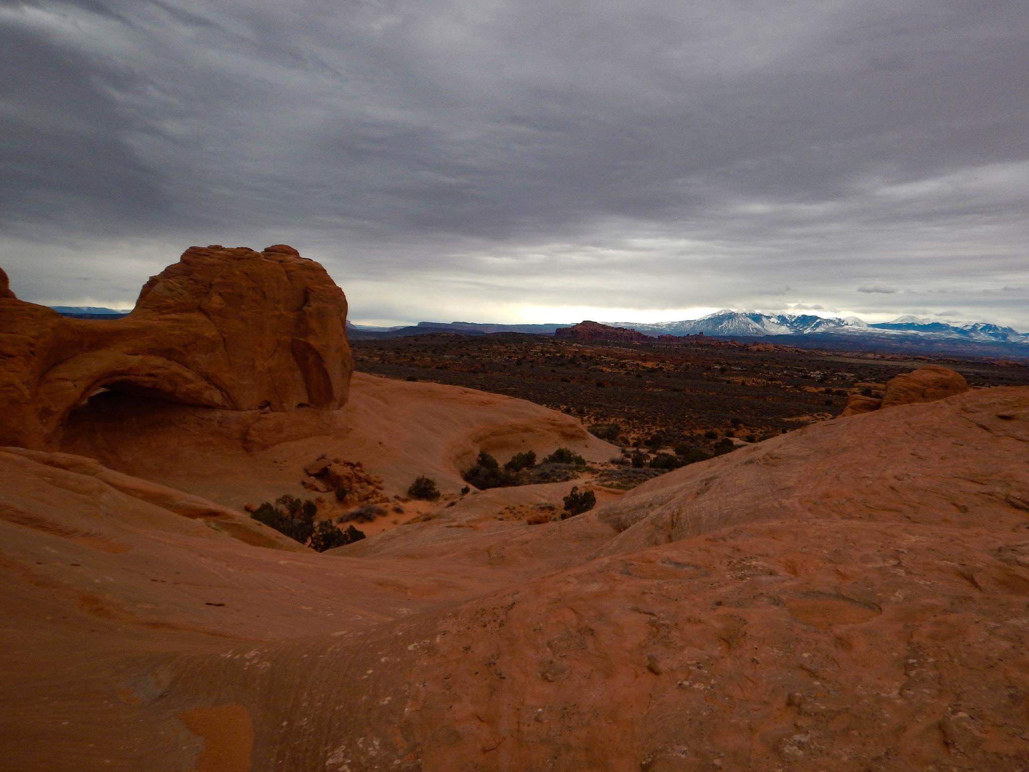
Tucked a few miles down a rough jeep road, Herdina Park feels a world away from the pavement and crowds of the main area of Arches N.P.. Due to the rough jeep road, this area of the park is not visited very heavily. Those that do visit generally just visit Eye of the Whale Arch and return. If you are wanting to wander, however, opportunities for solitude and beauty abound. I've visited the area many times over the years and have never seen anyone else and rarely even seen footprints.
For the experienced climber, canyoneer, or desert aficionado, the main canyon through Herdina Park, offers a fun and challenging route through the heart of the area. The canyon, that I'll call Whale Canyon on the map, is generally easy, however, it has one particularly exposed traverse to get past a dryfall. For the less adventure motivated, just wandering on the ridges or smaller side canyons makes for an excellent day out.
Getting There
From the Arches National Park visitor center, follow the scenice drive 8.8 miles into the park. Just before the Balanced Rock pullout on the right, go left on a well graded dirt road.
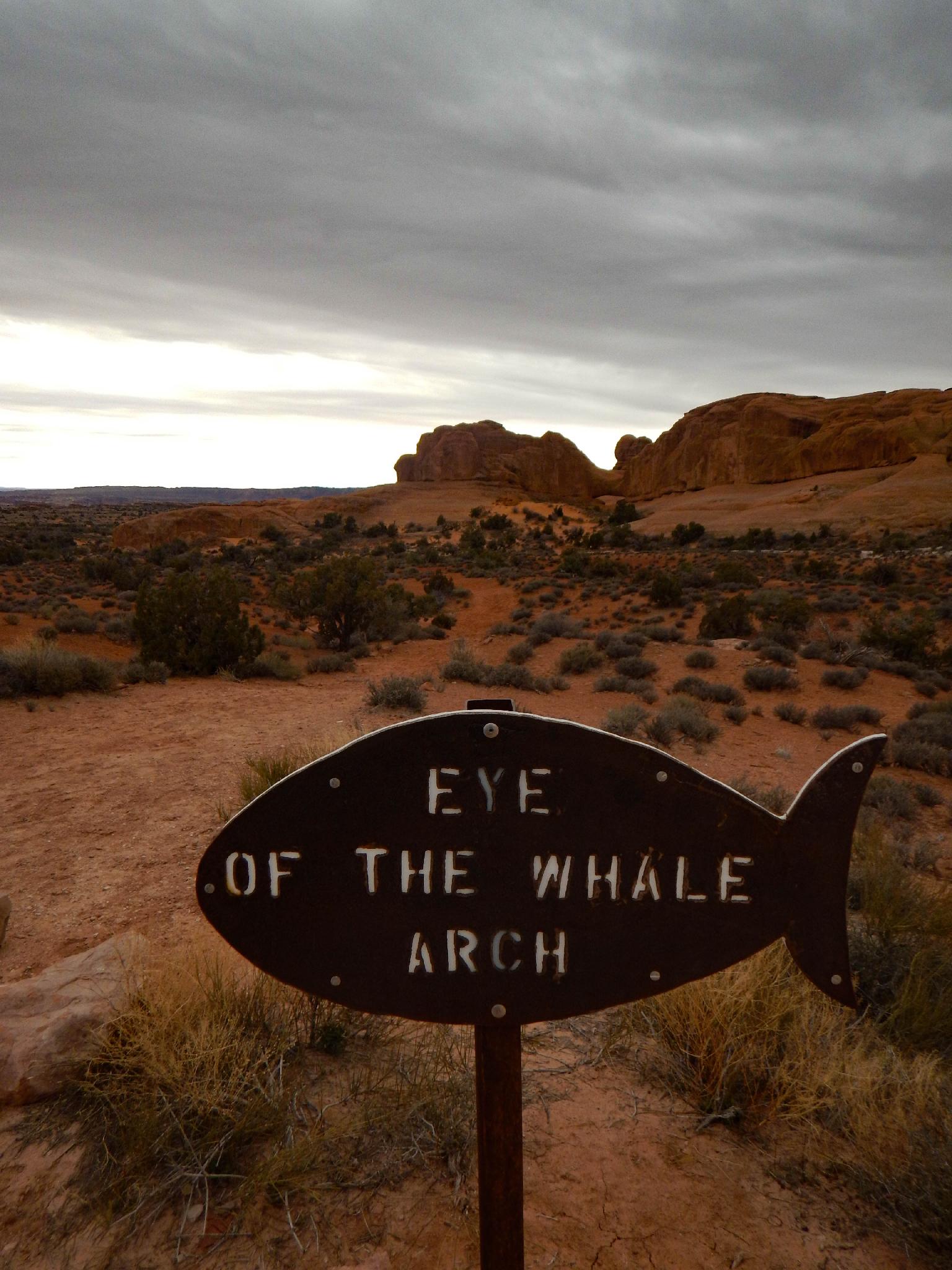
The dirt road passes an excellent picnic site. Continue 0.8 miles from the paved road to a junction. The road is good to this junction. Turn right onto the signed jeep road and follow it for an additional 2.0 miles (2.8 miles total from pavement) to the Eye of the Whale signed parking area on the left.
Route
Eye of Whale Arch
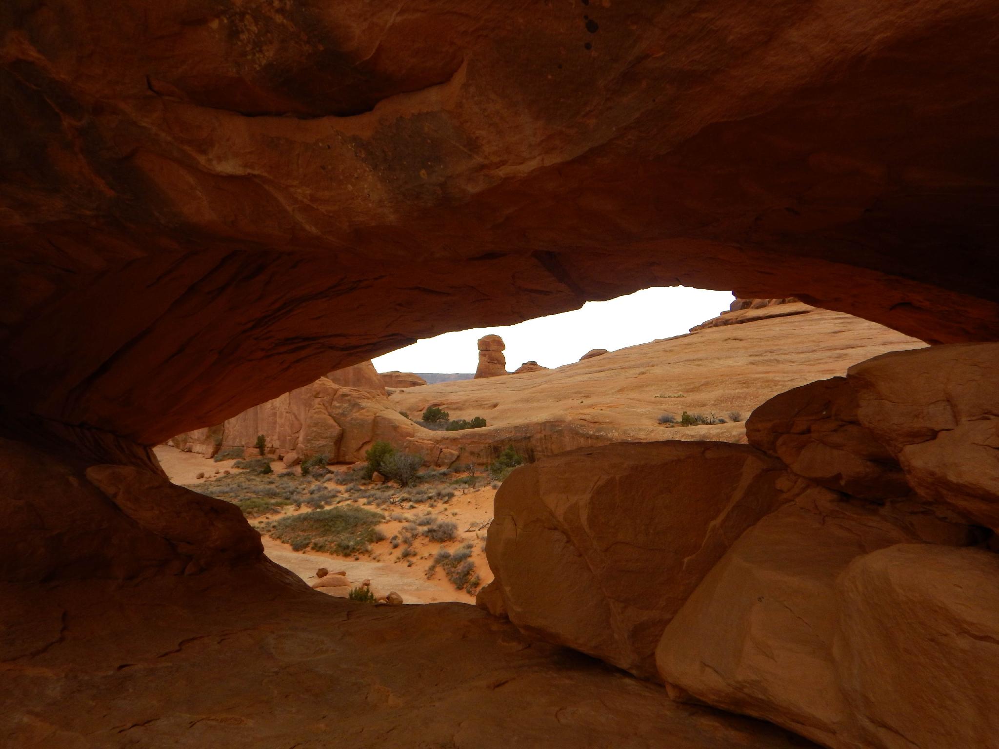
The arch is visible from the parking area, and about a 10 minute walk one way to visit. It is impressive, and a great feature to hang out under.
Whale Canyon
From Eye of the Whale Arch, climbers can head due west, climbing a small hand crack up to a tree and then on to the top of the sandstone domes. Once up on the flats, head northeast to the head of the prominent canyon. This is Whale Canyon. Not interested in the climbing moves? Wander south and west around the edge of the sandstone until an easier route up is found.
From the head of the canyon, an easy downclimb leads to a short section of boulders that prove a minor obstacle to pass through. The canyon gradually deepens after the boulders and reaches a minor dryfall. Downclimb this directly, or take the easier ledge bypass on the right.
Shortly below the first dryfall is a second more difficult dryfall. The bypass is on the right here as well. Choose your path carefully; at the corner are a couple of easy but very exposed moves getting around the corner and to easier ground. Experienced scramblers only!
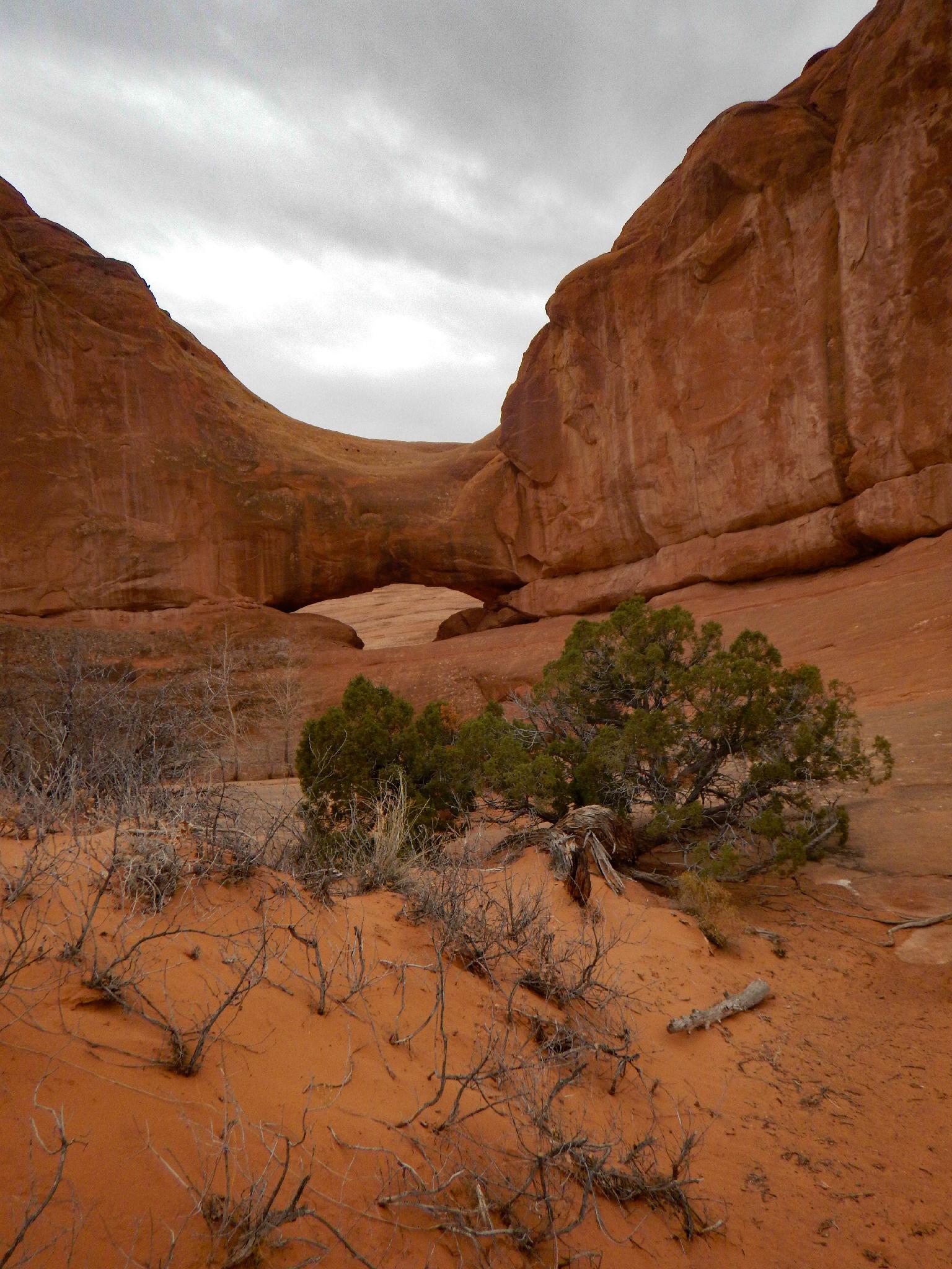
Below the second dryfall the canyon is an easy walk, passing behind a collapsed wall section that creates a small cave before opening out on the west side of Herdina Park onto the open plain.
When convenient, go south up the sand dunes, then head northeast along the edge of Herdina Park back to the trailhead.
| Trailhead |
12S 621569E 4286108N 38°42'55"N 109°36'06"W |
| Eye of Whale Arch |
12S 621400E 4285863N 38°42'47"N 109°36'13"W |
| Whale Canyon Head |
12S 621260E 4286071N 38°42'54"N 109°36'19"W |
| Traverse |
12S 621045E 4285673N 38°42'41"N 109°36'28"W |
| Whale Canyon Exit |
12S 620360E 4284884N 38°42'16"N 109°36'57"W |


