 Hiking
Frary Gravesite
Hiking
Frary Gravesite
Antelope Island
Overview
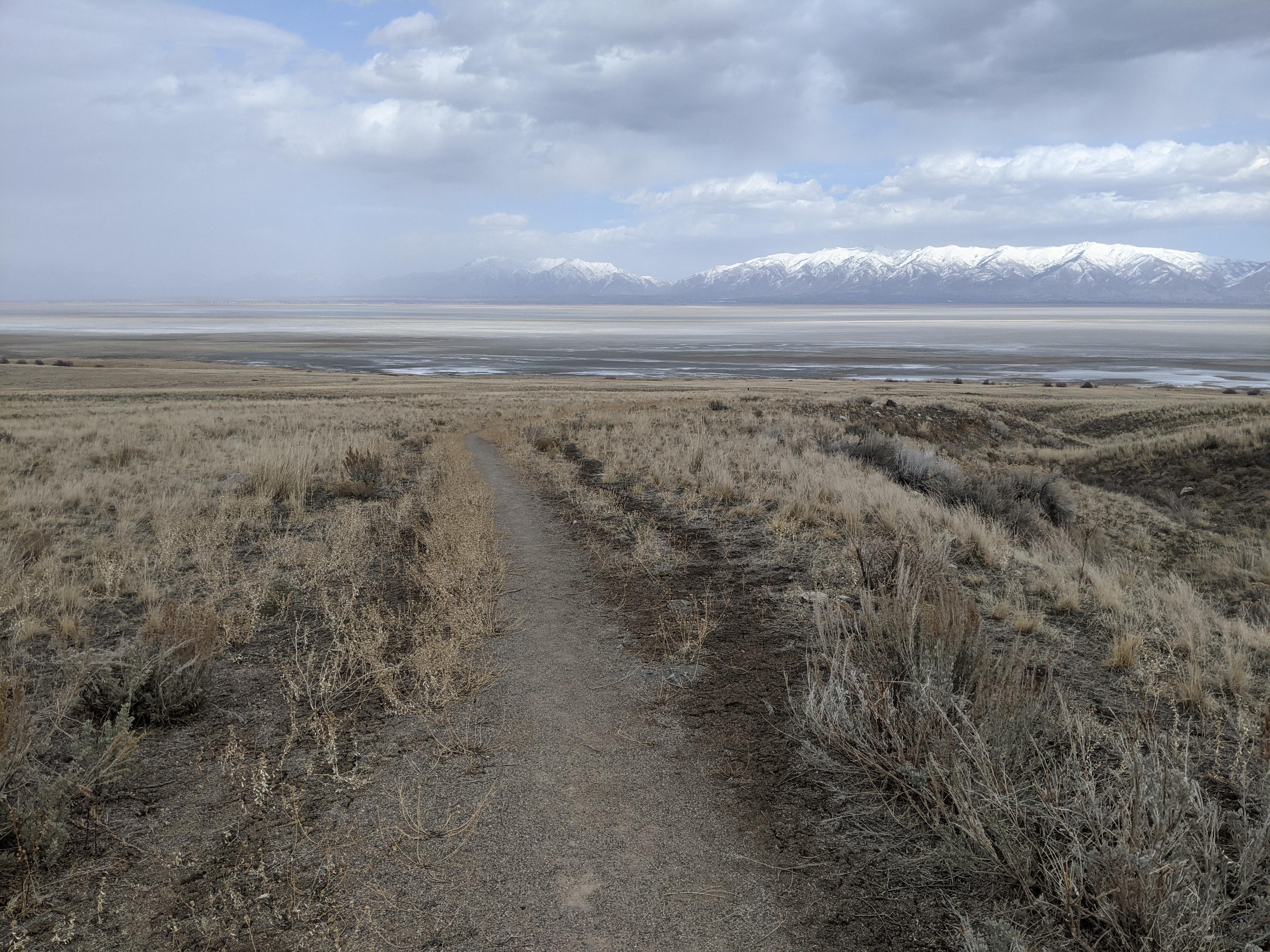
The history of the Great Salt Lake is fascinating. Many people and entrepreneurs set their hopes and dreams on the vast Great Salt Lake. The Frary’s were included in this group. In 1891, George Frary moved his family to the eastern slope of Antelope Island to homestead 160 acres. The homestead was only miles from the budding Wasatch Front which easily visible from the homestead but must have felt a world away with the Great Salt Lake separating the two.
The family included George, his wife Alice and seven children. Alice passed away six years after moving to the island, and this short hiking trail visits her grave and the small oasis the family called home. The homestead, situated near a small spring, sustained the family with a small garden, game, a wheat field, and livestock. Other provisions were procured from the Wasatch front as needed.
Seven children growing up on the island must have been quite an upbringing! Sweltering summer days lounging near the lake, hikes up the surrounding peaks and ridgelines, and long winter nights in the close quarters of a cabin being homeschooled. The interpretive signs along the trail talk of this being a wild, but happy upbringing. To my mind, a wild year on Antelope Island sounds like both hardship and joy. The family left the island in 1902 and the homestead was abandoned.
This short hike sees much less visitation than most of the other trails. The short nature of the hike makes it a good family friendly outing and one our family thoroughly enjoyed. Being east facing, it is an excellent evening hike in the summer when it becomes shaded.
Getting There
The trailhead is reach by first getting to Antelope Island. This is off I-15, west of Layton. Take exit 332 off I-15, and head west on Antelope Drive. About 7 miles from the freeway is the entrance to the park.
From the entrance to the park, cross the causeway and go left at the first junction after the causeway. Shortly after take the next left, staying on Antelope Road that is signed for Frary Peak. Follow this paved road about 7.7 miles to the signed Frary Gravesite road on the right. Drive a short distance up the dirt side road to a parking area. At times the side road is closed. There is minimal parking along side the paved road here.
Route Description
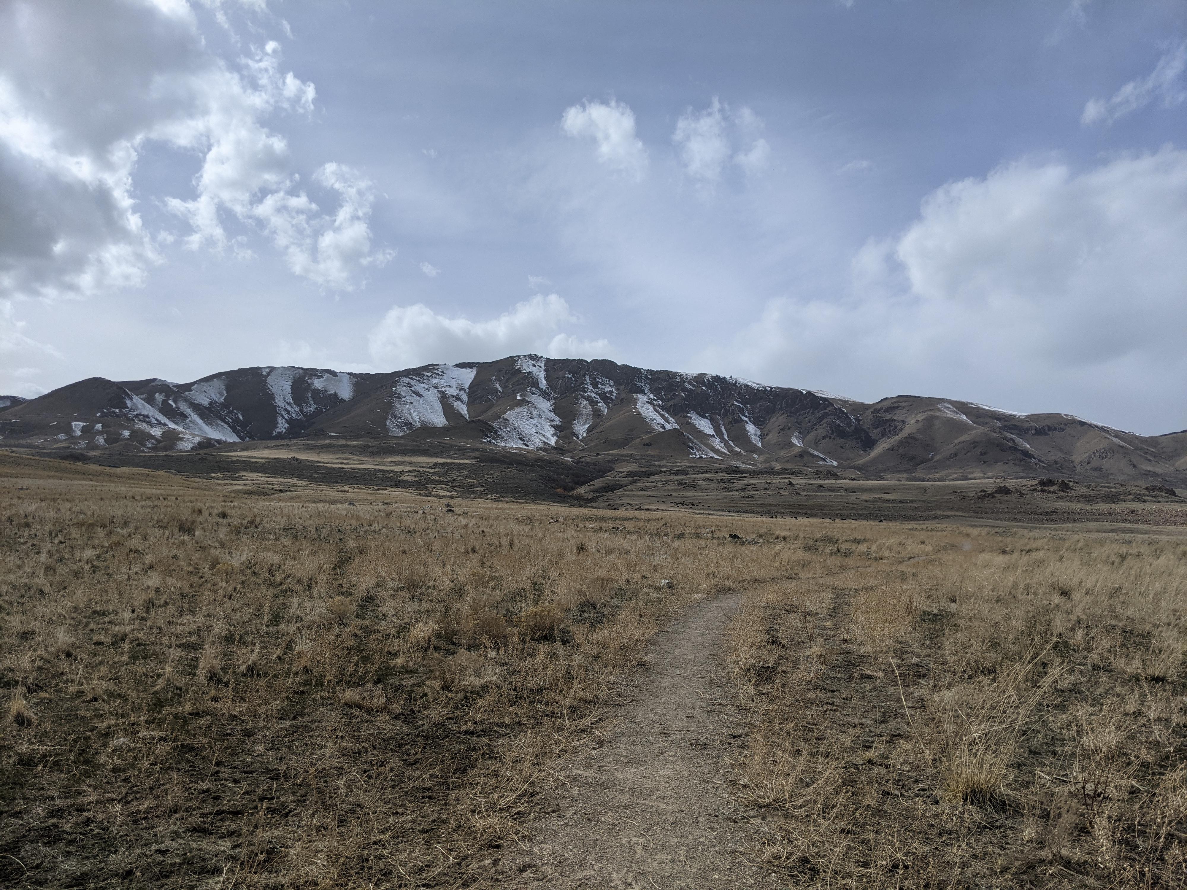
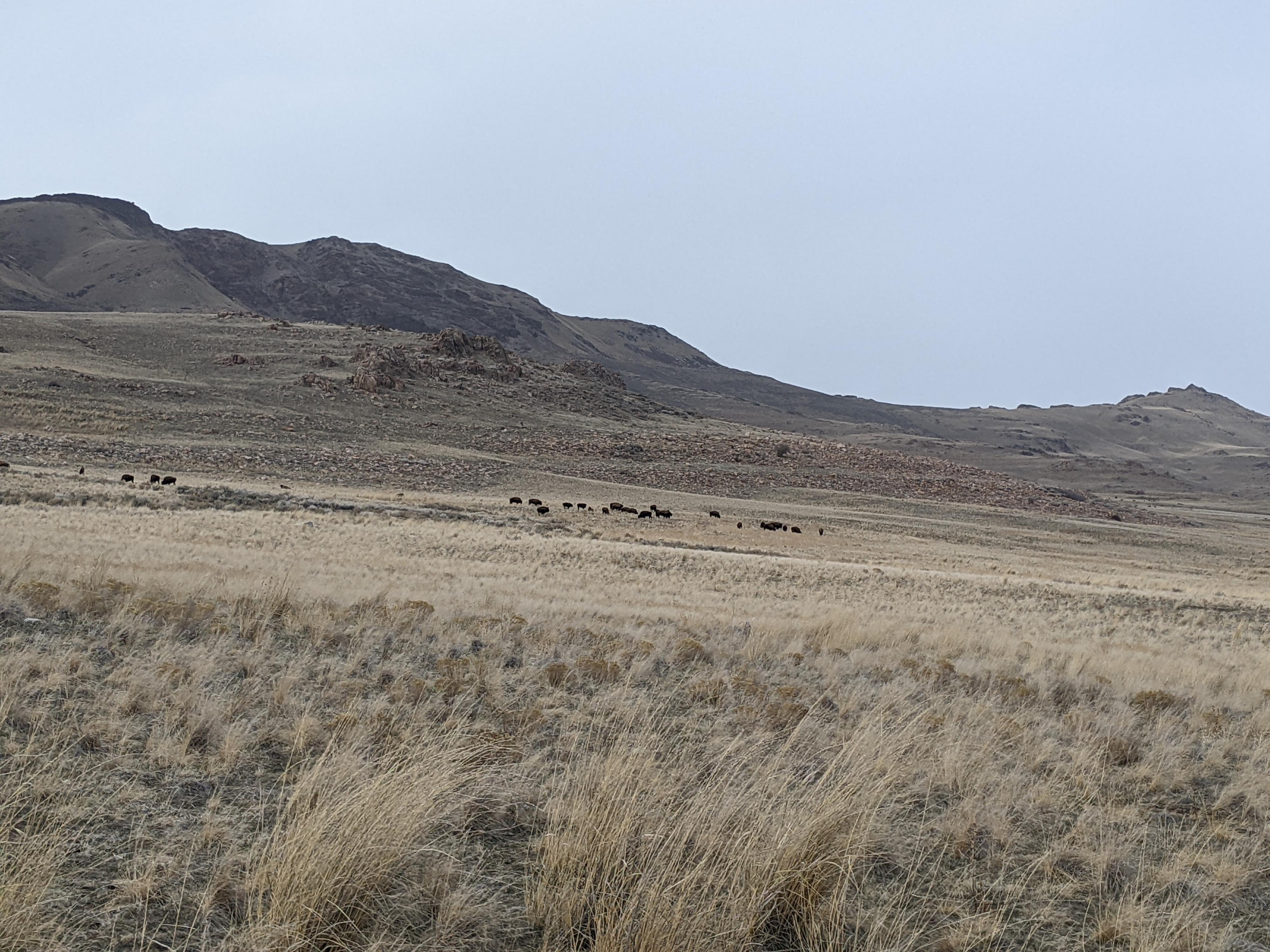
From the trailhead, the trail climbs the old road west up to the homestead. A short loop goes around the homestead visiting the grave, and several informational signs about the Frary’s. The slopes around the homestead are often dotted with buffalo.
Return the same way.
Maps

12T 400495E 4535790N
40°58'02"N 112°10'57"W
12T 400905E 4535844N
40°58'04"N 112°10'40"W
12T 399890E 4535550N
40°57'54"N 112°11'23"W