 Hiking
Gobblers Knob
Hiking
Gobblers Knob
Millcreek Canyon
Overview
At 10,246 feet, Gobblers Knob is the highest peak on the ridge that divides Mill Creek Canyon from Big Cottonwood Canyon, though it is only the tallest by 5 feet, as Mount Raymond comes in a very close second. I'm not sure if this designation is the reason it is such a popular destination or if it’s the fact that the trails to the summit are all straightforward and relatively easy, but either way, this is a very popular hike. On a busy summer weekend, expect to see many people heading up to the summit.
Aside from the crowds, this is an excellent hike. The route described here goes up Alexander Basin and offers the shortest route to the summit, though, with almost 3000 feet of gain in just over 2 miles, this is a STEEP hike.
Those wanting a loop hike can descend Gobblers Knob via Baker Pass, Baker Spring, and finally take a lesser used spur trail back to Alexander Basin. This would be my recommendation. If looking for a less steep approach, the loop could be done in reverse, making the descend steeper.
Still motivated? Mount Raymond is a short side trip from Baker Pass and an equally worthwhile summit. Reaching the top of Raymond requires a bit of scrambling, but should not pose a problem for most groups.
Alternatively, if you have two cars, you can return down Bowman Fork, also a nice loop.
Getting There
Millcreek Canyon is on the east side of the Salt Lake Valley, just south of I-80 and Parleys Canyon. To get there, take I-215 South from I-80 and take exit 4 off of I-215 and go left (east) on 3900 South.
Turn left on Wasatch Blvd just after crossing under the highway, then the next right on Millcreek Canyon Road.
0.7 miles from the junction of Wasatch Blvd and Millcreek Canyon Road is the entrance to Millcreek Canyon and the pay booth.
Mileage below is from the pay booth.
0.7 miles - Pipeline Trailhead on the left (north).
2.4 miles - Church Fork Trailhead on the left (north).
2.5 miles - Desolation on the right (south).
3.4 miles - Porter Fork on the right (south).
3.5 miles - Burch Hollow Trailhead (north).
3.7 miles - Terraces Picnic Area / Trailhead (south).
3.8 miles - Winter Gate Closure
5.4 miles - Elbow Fork Trailhead (Mount Aire)
6.9 miles - Alexander Basin Trailhead
Route Description
To Gobblers Knob (2.3 miles / 2-3 hours)
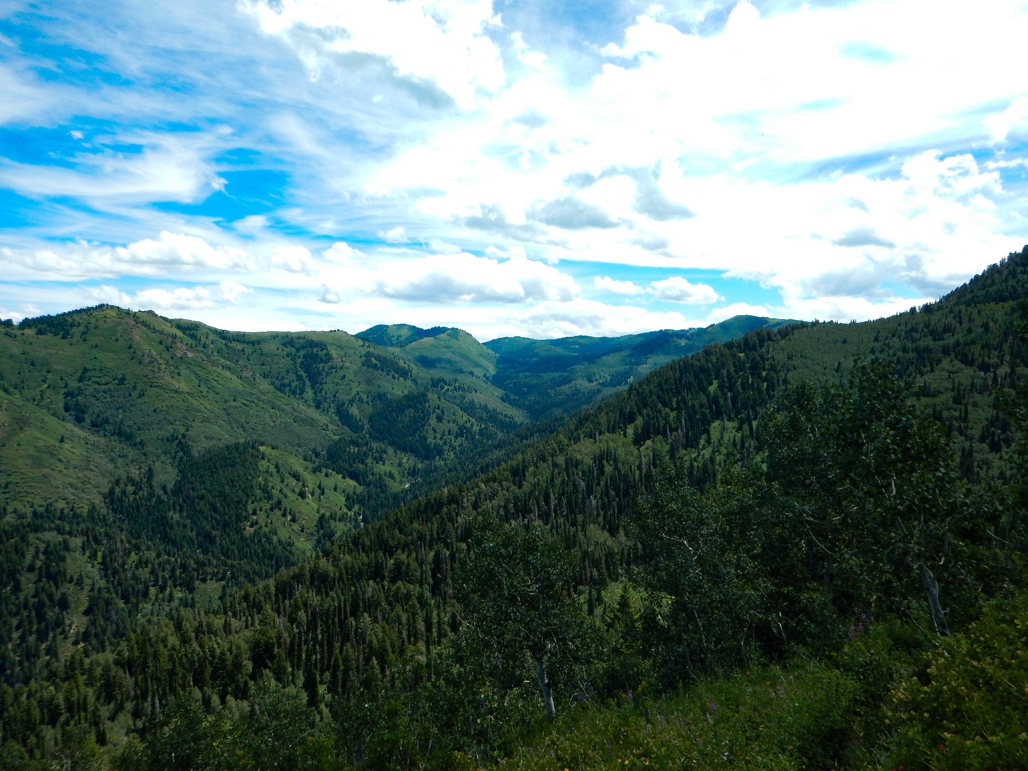
From the trailhead, begin the steep climb up to Alexander Basin. The junction to Bowman Fork is reached at a mile after 1000 feet of elevation gain,. Stay left, and continue the climb into Alexander Basin. The trees soon relent and the first glimpses of the headwall and ridge to Gobblers Knob come into view.
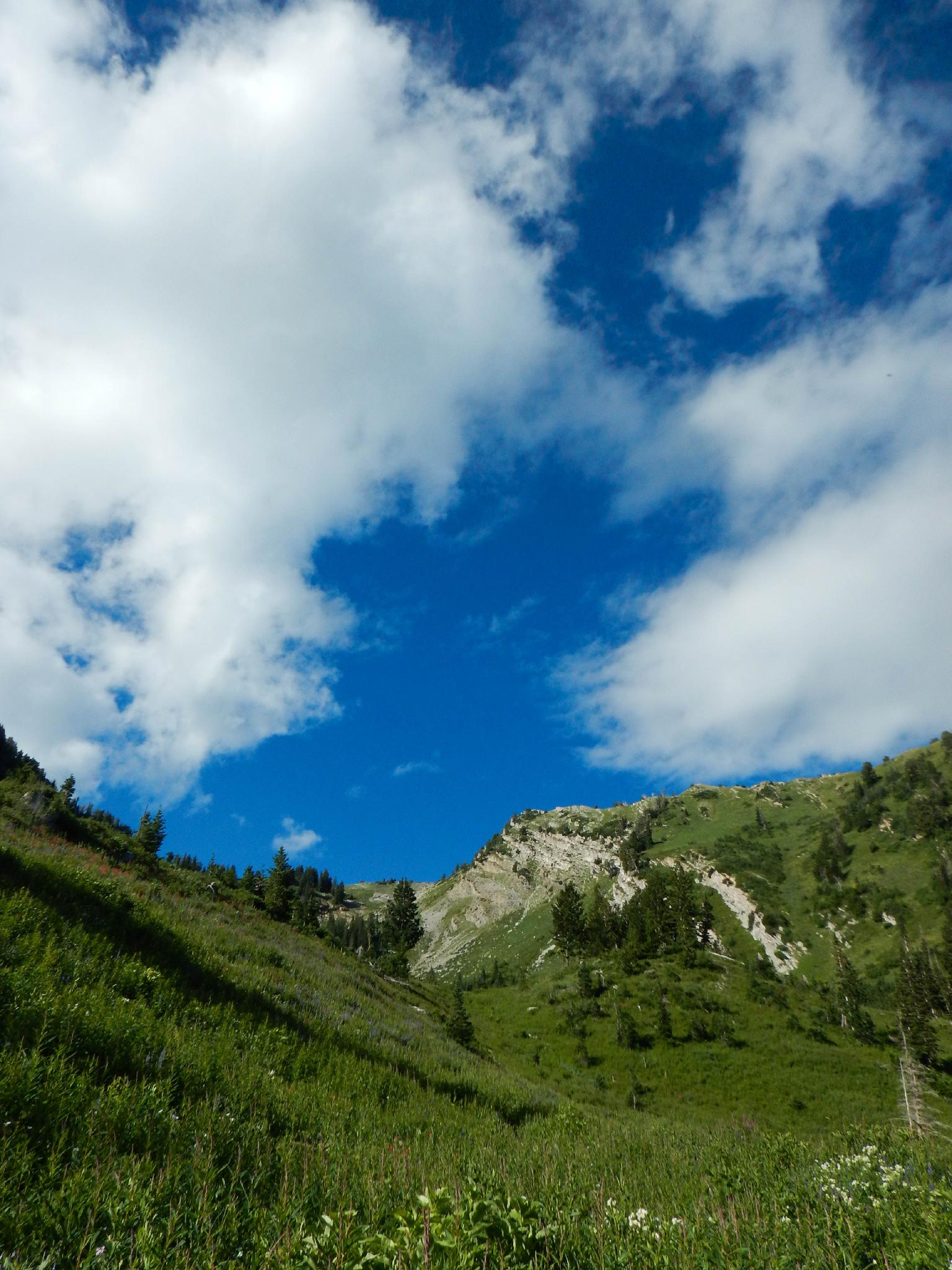
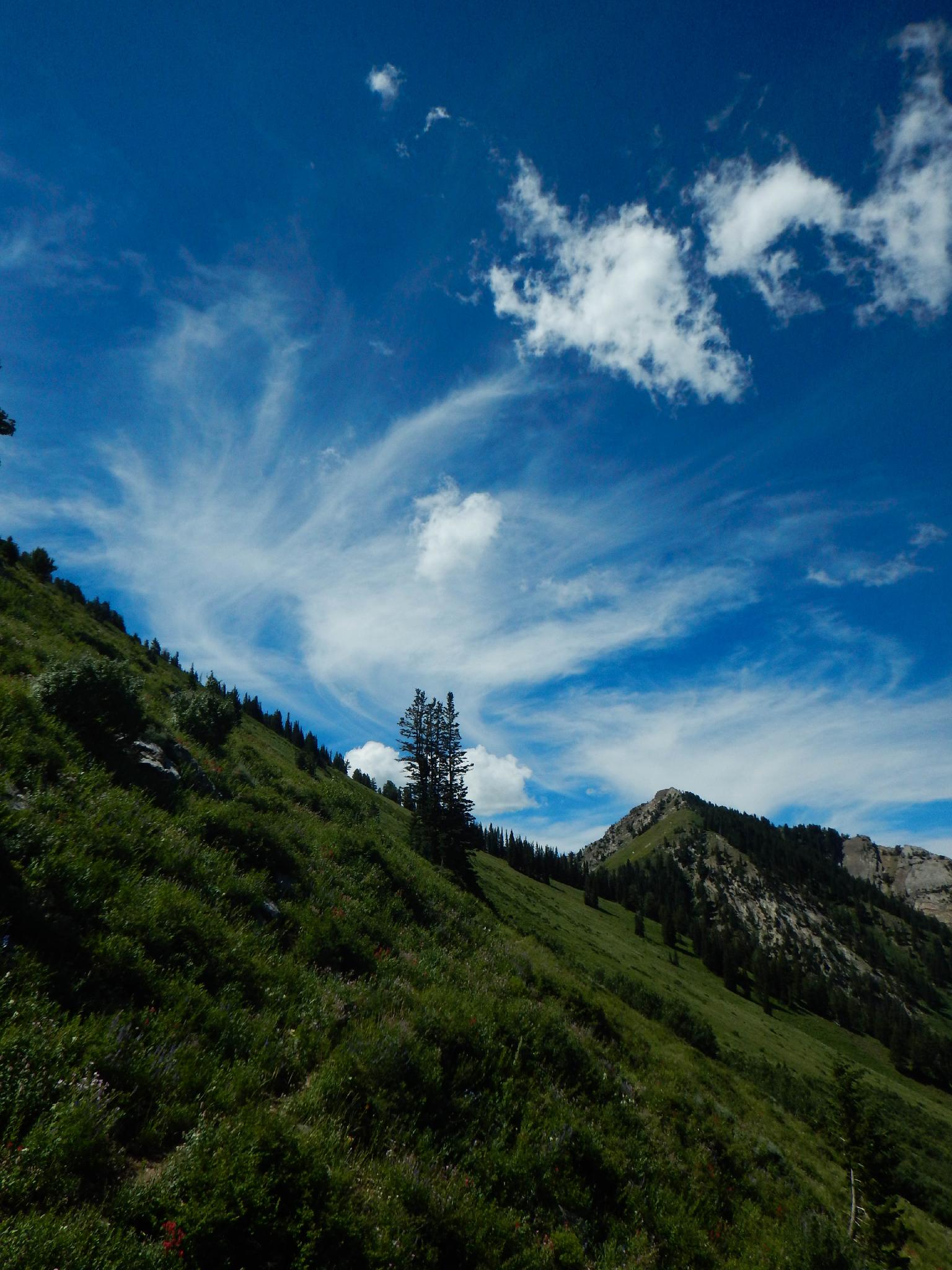
The trail crosses a bit of talus, then climbs steeply up to the ridge. Near the top, the trail splits. Go right to the ridge and breathtaking views of the Big Cottonwood Ridgeline to the south. At least I'm blaming my lack of breath at this point on the views. From the ridgeline, the trail climbs quickly the final couple of hundred feet to the summit of Gobblers Knob and great 360 degree views.
To Baker Pass (0.8 miles / 20 minutes)
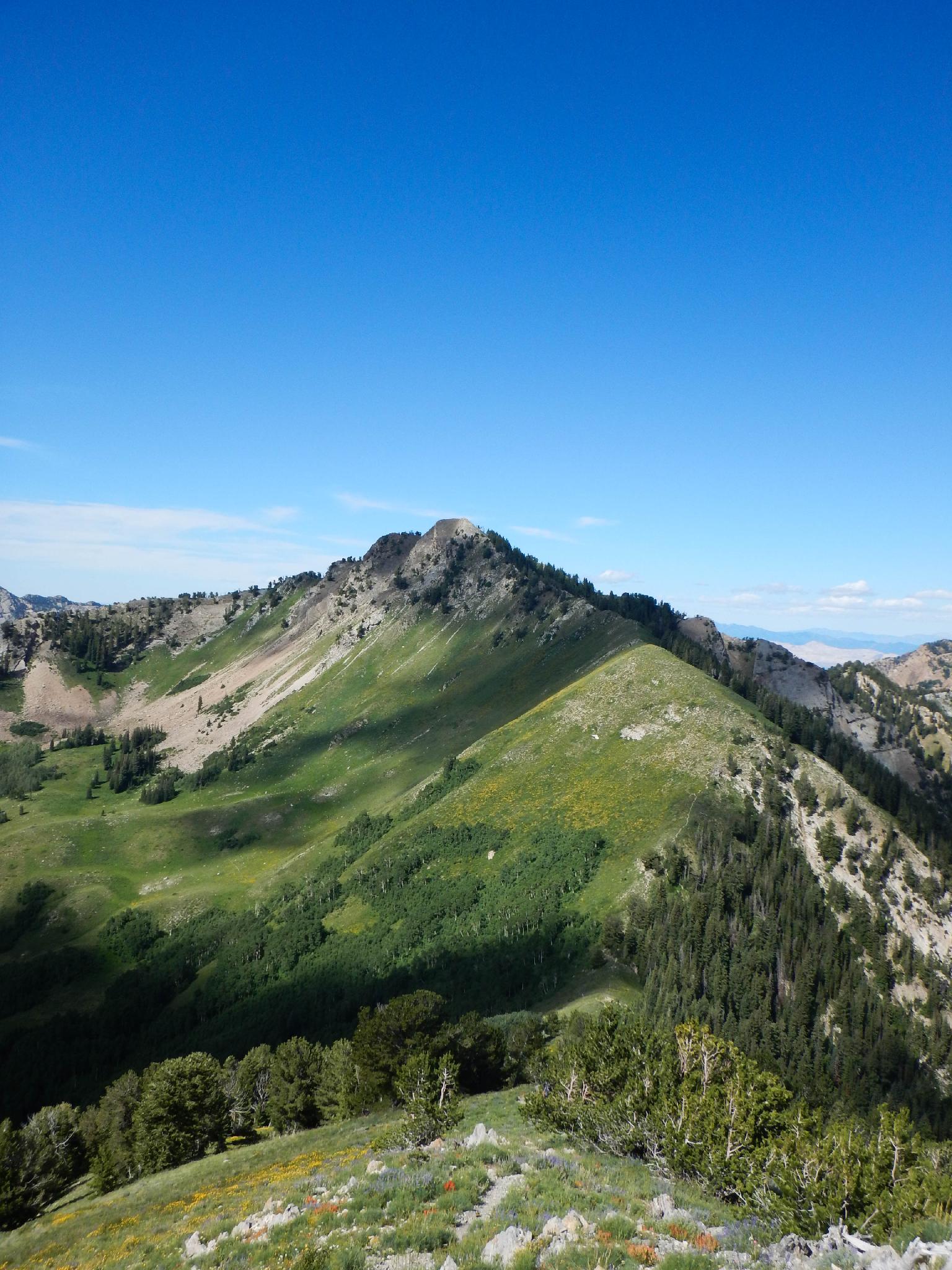
From the summit, follow the well-worn trail southwest down the ridgeline. The peak to the southwest above the pass is Mount Raymond. Once at the pass, go right to continue the loop, or take the side trip up Mount Raymond.
Side Trip To Mount Raymond (1.3 miles round trip / 1.5 hours round trip)
From the pass, follow the social trail as it climbs steeply up the ridge. About 2/3 of the way up, at a large dead tree, the ridge becomes a rocky arete. Though it looks a little daunting, stay on the arete. The scrambling is class 3, MAYBE class 4, and a lot of fun. Staying on the ridge, or very close to it, scramble the rest of the ridge to a social trail that climbs the final section to the summit.
Though Gobblers Knob is a great summit, I think Mount Raymond is even better! Due south are clear views of Dromedary, Twin Peaks, and in the distance the peaks of Little Cottonwood.
Return to the pass the same way.
To Alexander Junction (1.2 miles / 30 minutes)
From Baker Pass, follow the trail north as it descends and makes a sweeping easterly traverse across the hillside. Wildflowers can be stunning here in mid-summer. The trail descends and passes Baker Spring before reaching Alexander Basin junction.
Back to Alexander Basin (2.5 miles / 1-1.5 hours)
The connector trail between Bowman Fork and Alexander Basin is surprisingly lightly traveled. Though overgrown in spots, it never seems particularly difficult to find or follow and offers nice views of the Salt Lake Valley in the distance and Millcreek as it traverses to Alexander Basin.
It is a short (but steep) 1 mile from the Alexander/Bowman trail junction back down to the trailhead.
OR Down Bowman Fork (2.8 miles / 1-1.5 hours)
If you have two cars or are a lucky hitchhiker, going out Bowman is a good choice. Go left at the junction and follow the trail 2.8 miles down to the trailhead and Terraces Picnic Area.
Maps

12T 443389E 4504810N
40°41'32"N 111°40'12"W
12T 439512E 4505330N
40°41'48"N 111°42'57"W
12T 442843E 4503903N
40°41'03"N 111°40'35"W
12T 442441E 4502447N
40°40'15"N 111°40'52"W
12T 442287E 4502436N
40°40'15"N 111°40'58"W
12T 441356E 4501725N
40°39'52"N 111°41'38"W
12T 440656E 4501097N
40°39'31"N 111°42'07"W
12T 441481E 4503479N
40°40'48"N 111°41'33"W