 Hiking
Rudys Flat
Hiking
Rudys Flat
Bountiful
Overview
Rudys Flat, high above Bountiful, is a popular trail. This is one of the few forest service trails in the Wasatch that is open to hikers, bikers, horses, and motorcycles. Because it was designed for motorcycles, it has a much more gentle grade than many other trails along the Wasatch.
Reaching Rudys Flat is most commonly done either via Mueller Park or North Canyon. If you have a car shuttle, or are travelling by bicycle, making a loop of the two trails and returning via city streets is the way to go. My strong preference, if possible, is to hike up North Canyon and down Mueller Park. This has the advantage of a shorter approach to the flat, then a long, lazy meander down to Mueller.
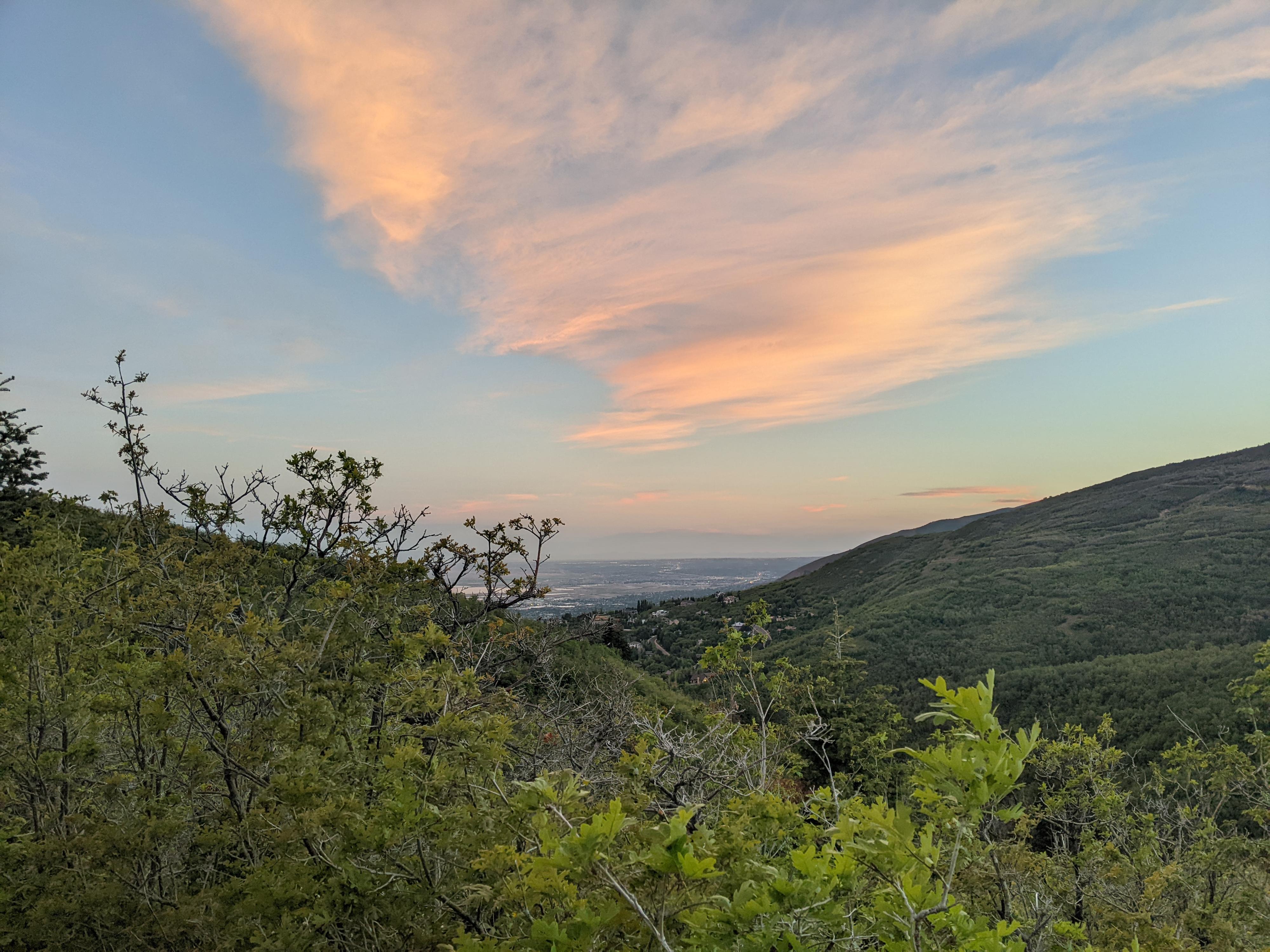
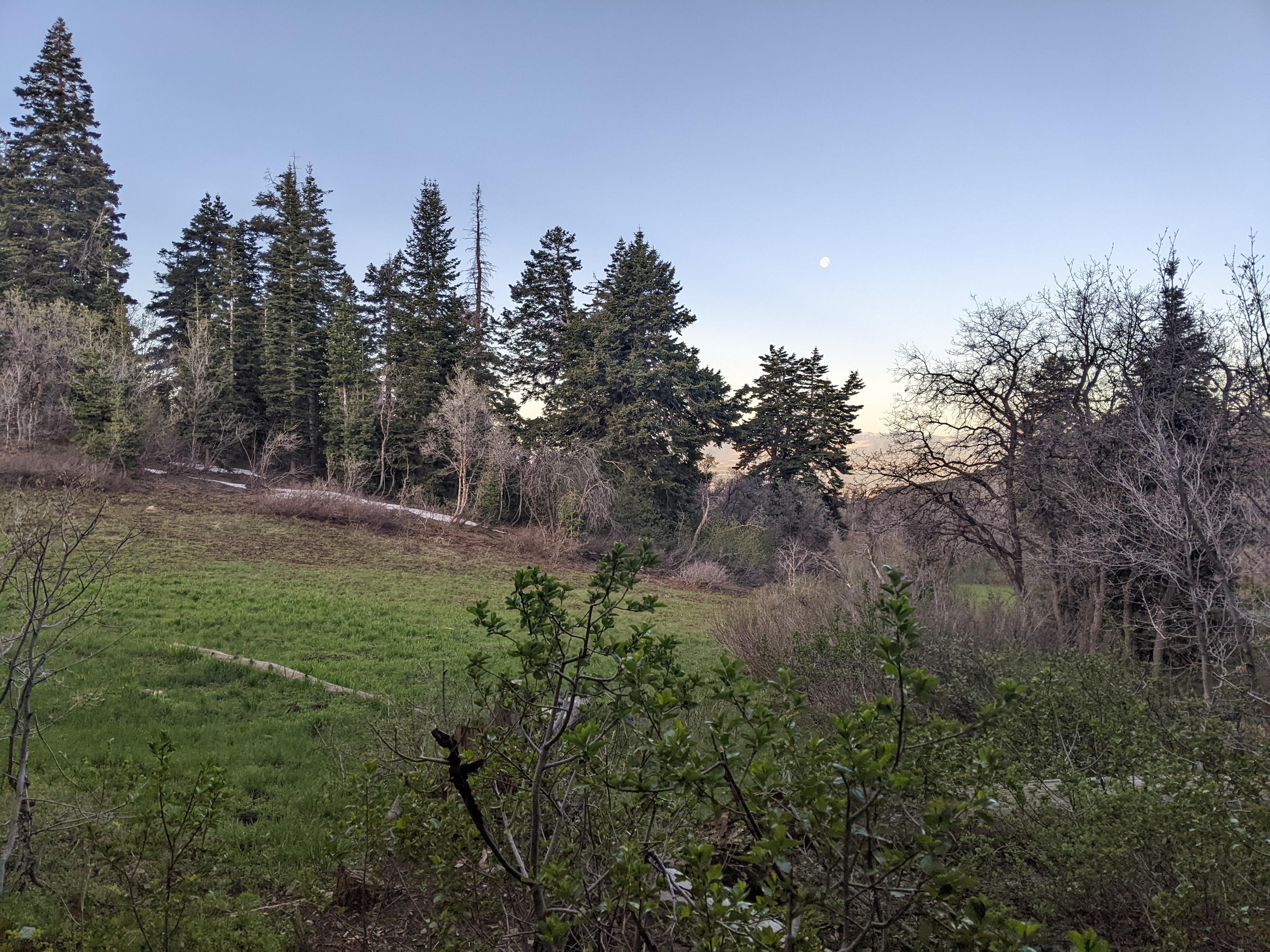
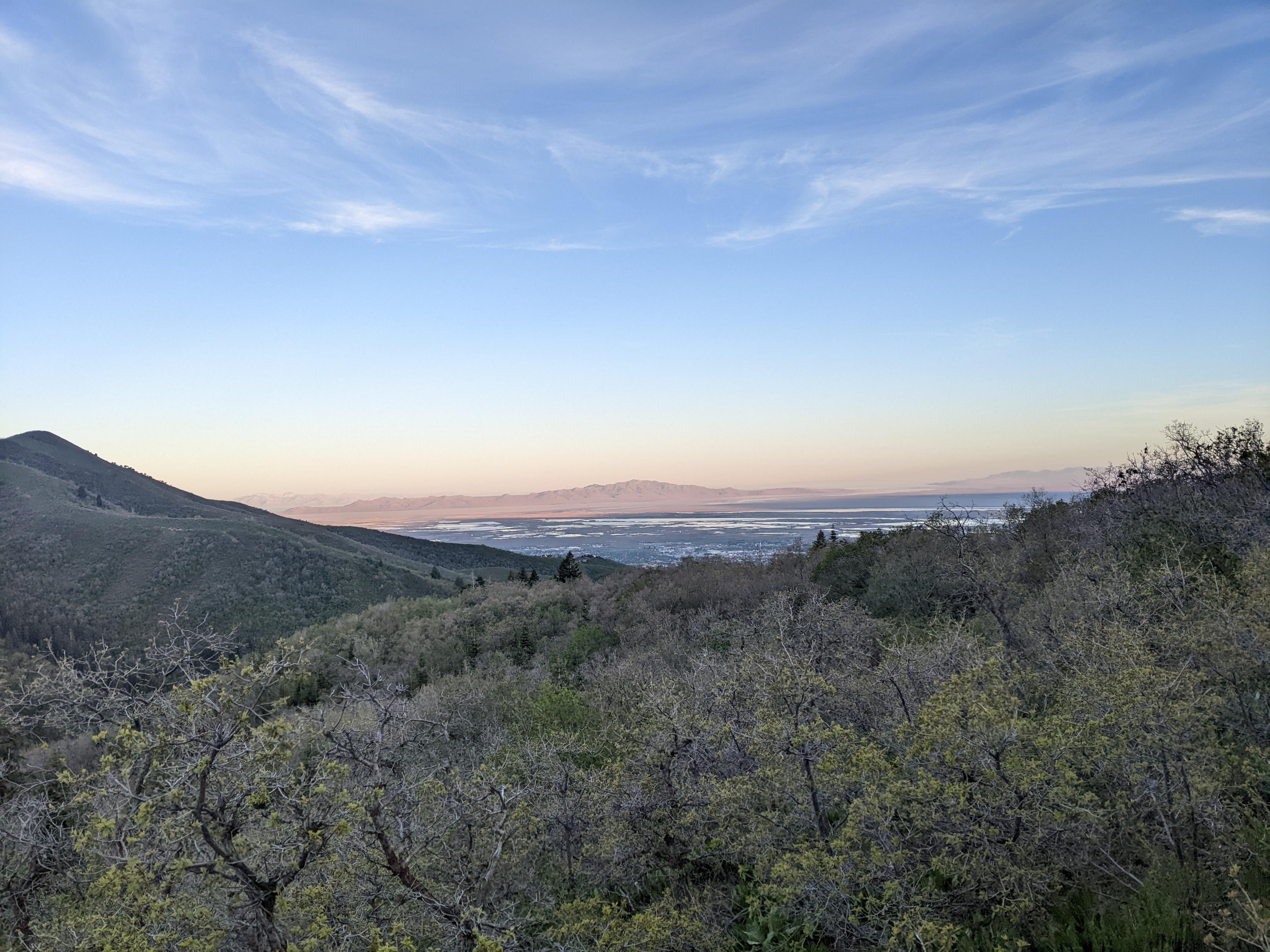
The flat, a small grassy area, is lovely as it straddles the ridge between City Creek Canyon and Bountiful. Though there isn’t reliable water, some do backpack here. In early spring, snow can be melted for water, but once summer hits and the snow melts, water requires a bit of a walk to get to.
Getting There
North Canyon Trailhead
To reach North Canyon take I-15 north to exit 312 / US-89 and soon merge onto Beck Street. After about a mile, go right onto Eagle Ridge Dr.
At the traffic circle that quickly comes up on Eagle Ridge Dr, take the third exit onto Orchard Drive. Follow Orchard Drive for 1.7 miles.
Turn right onto 3100 South. Follow 3100 South for 1 mile, then turn right on Indian Springs Rd. After 0.7 miles, turn right on 3700 S/Canyon Creek Dr. After about a mile, you will reach the forest boundary and the road turns to dirt. You can start here, or drive the road about a mile to its end.
Muller Park Trailhead
take exit 315 from I-15. Go east on 2600 S. At about 0.8 miles it becomes Orchard Drive. Follow Orchard Drive about a mile to 1800 South. Turn right on 1800 South and follow it 2.7 miles to the entrance of Mueller Park.
Route Description
Rudys Flat from North Canyon (2.4 - 3.4 miles one way depending on where you park)
From the North Canyon Trailhead, either walk or drive the road about a mile to its end. The dirt road is quite good but has a rough spot or two near the end that may require high clearance.
At the end of the road is a small parking area, and the road turns to a single-track trail. The trail is open to hikers, bicycles and motorcycles. It is more gradual and climbs with long switchbacks to keep the grade minimal. Easy and enjoyable hiking.
The track climbs for about 2.4 miles to the ridge. Just before the ridge is a junction. Right climbs steeply and directly to the ridge. Stay left.
Once at the ridge, Rudy’s Flat is a short distance (less than 1/4 of a mile) to the east along the trail.
Rudys Flat from Mueller Park (5.5 miles one way)
The trail takes off from the parking area just before the entrance to Mueller Park. Follow the trail as it crosses the bridge and begins a zig-zag course, gaining elevation up the hillside. Near the top of the zig-zags, after 0.75 miles, an open area has a couple of crude log teepees. Catch your breath. From here the hike becomes less steep and more of a mellow amble.
The trail meanders in and out of side canyons. As it gets higher up the canyon, a couple of small streams offer pleasant places to hang out if it is hot. Just before Big Rock, the trail splits. Right cuts back and continues climbing. Going left, to a bench that overlooks Big Rock is a brief side trip. To reach Rudys Flat, go right.
From the Big Rock junction, the trail climbs for about 2.5 miles while becoming more forested and alpine. This upper section of the trail is lovely, and I think much prettier than the lower section. The trail eventually levels out at the meadow that is Rudys Flat.
Maps

12T 429476E 4523979N
40°51'50"N 111°50'13"W
12T 428068E 4522041N
40°50'47"N 111°51'12"W
12T 429767E 4521517N
40°50'30"N 111°49'59"W
12T 431553E 4521252N
40°50'22"N 111°48'43"W
12T 431136E 4522891N
40°51'15"N 111°49'01"W
12T 431104E 4521183N
40°50'20"N 111°49'02"W