 Hiking
Timpanogos Falls
Hiking
Timpanogos Falls
Mount Timpanogos
Overview
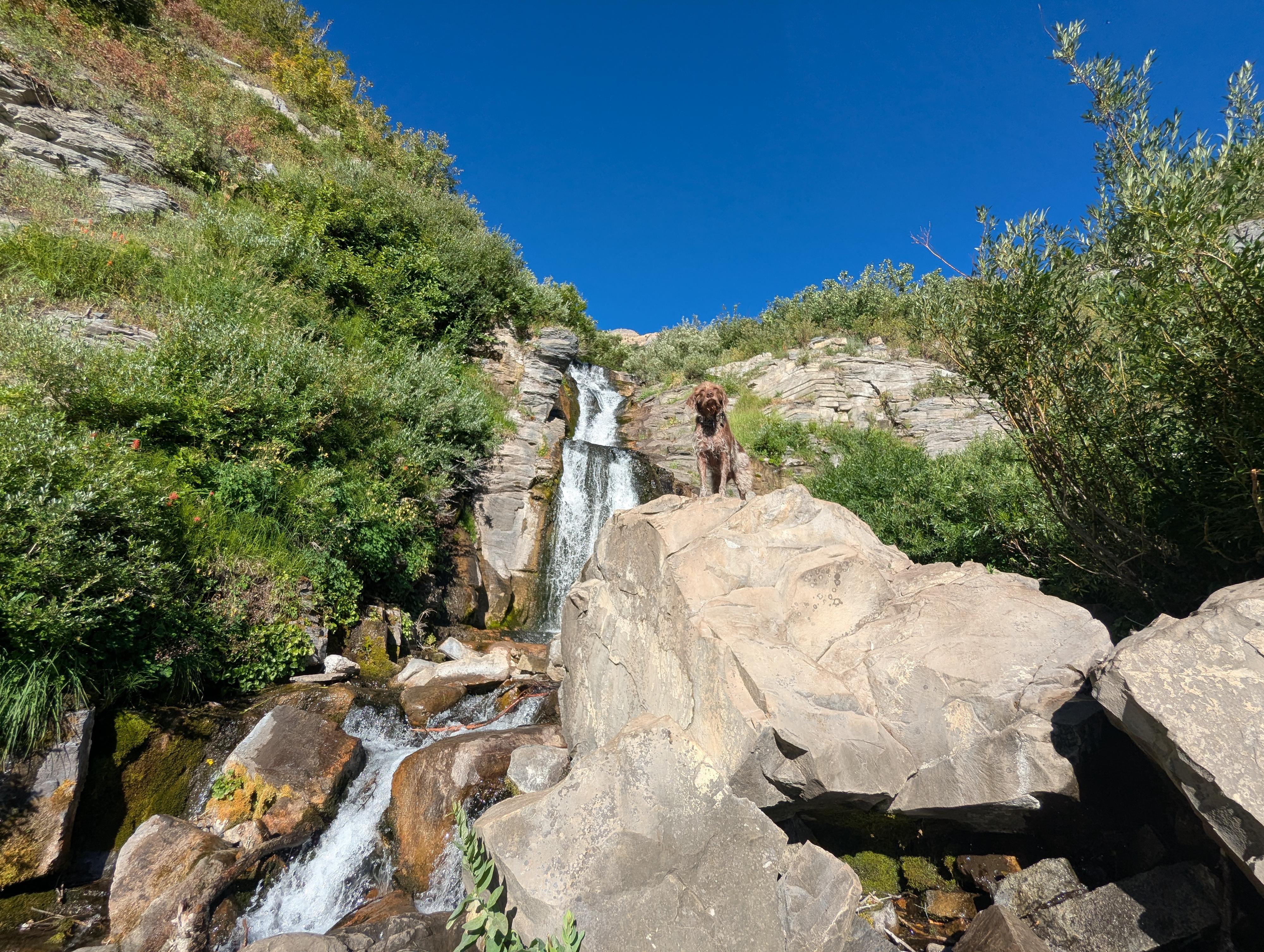
Hiking to Timpanogos Falls on Mount Timpanogos is a short, scenic outing that’s perfect for families, casual hikers, or anyone looking for a quick taste of the mountain’s beauty without committing to a long climb. Starting from the Timpanogos Trailhead, the route follows a well-defined trail up the broad valley framed by towering limestone cliffs. It is very scenic, often with wildflowers in the summer and fall colors in the autumn.
I consider Stewart Falls, which starts from the same trailhead, to be more dramatic and scenic, but Timpanogos Falls is a close second. The falls aren't as dramatic as Stewart Falls, but the views of the valley and mountain are better, in my opinion. Doing both would be my recommendation!
Getting There
From Provo, take US-189 up Provo Canyon toward Heber Utah. From the mouth of Provo Canyon, travel up the canyon about 7 miles. After about 7 miles, turn left off of US-189 on the Alpine Loop Road/Sundance Resort. Follow the Alipe Loop Road for 4.8 miles to the trailhead on the left just after passing the forest service fee booth.

Route Description
Getting started has caused a few people confusion. When you pull into the trailhead parking area, look for the trail on the right (west side of the lot) just after pulling into the parking area. This is the trail you want. There is also a trail leaving on the south side that goes to Stewart Falls. You do NOT want the Stewart Falls Trail.
Follow the trail as it heads west and soon passes a small building that is the Timpanogos Emergency Response Team (TERT) group. There is a trail register here to sign into. Continue past TERT; in a few minutes, the trail crosses a bridge and comes to a junction. Stay left at the junction as the trail begins heading up the broad valley. In places, old pavement is visible from when the trail was partially paved.
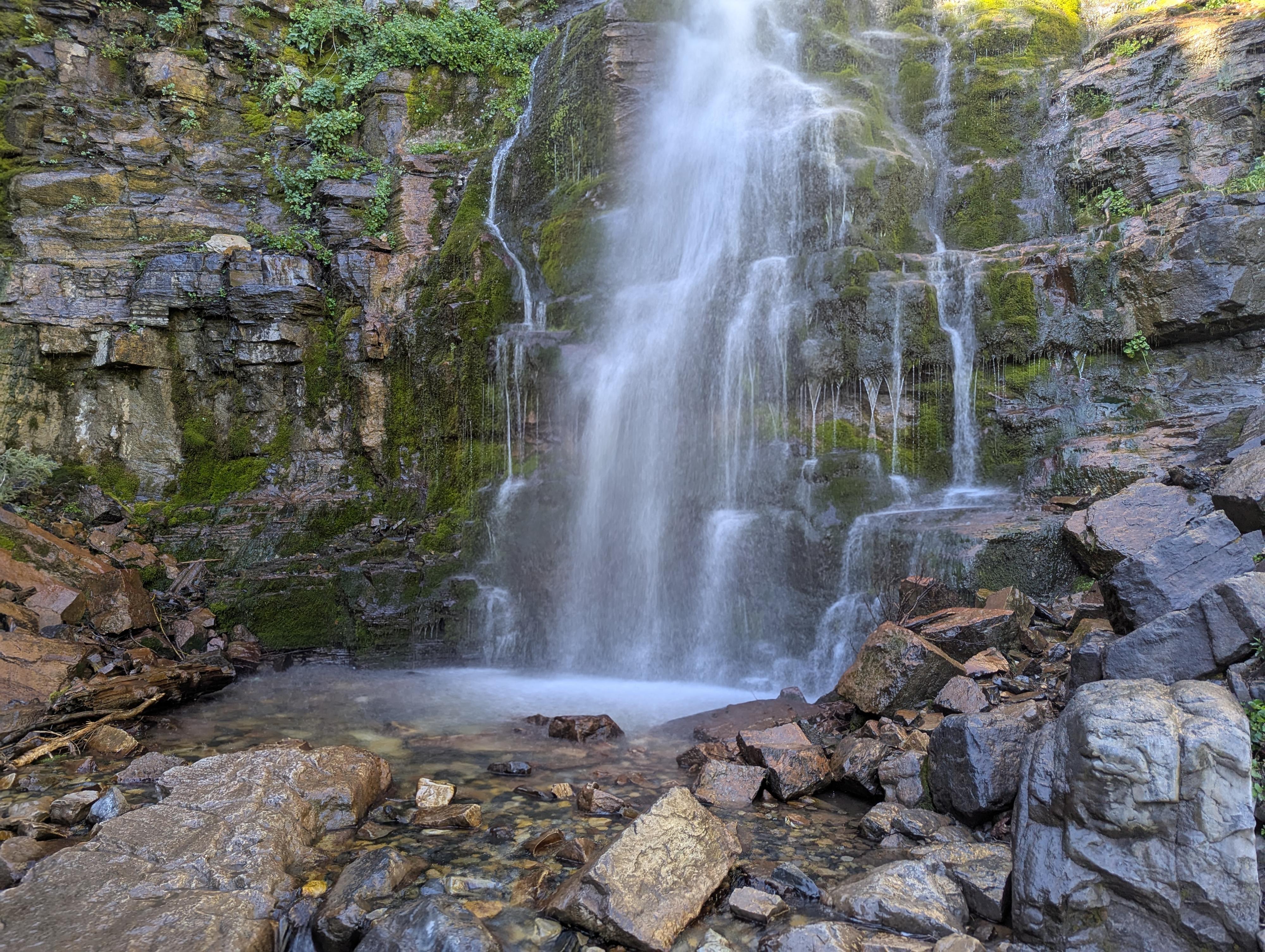
A small falls is encountered known as Lower Falls, then the trail makes a short climb up to Timpanogos Falls, a bit more dramatic falls.
Return the same way.
Maps

12T 448637E 4472846N
40°24'17"N 111°36'19"W
12T 448180E 4472957N
40°24'20"N 111°36'39"W
12T 447343E 4472829N
40°24'16"N 111°37'14"W
12T 447282E 4472758N
40°24'14"N 111°37'17"W