 Hiking
Willard Peak
Hiking
Willard Peak
Weber County Highpoint
Overview
There are two common ways to hike Willard Peak, the highest peak in Weber County. The first is via Ben Lomond. Ben Lomond is easy access by all vehicles, but much longer (~20 miles). This route requires high clearance or better, and is a bit of a rough approach, but requires a very short hike to the summit. Those without 4x4 could drive as far as comfortable and mountain bike the rest (8-10 miles, steep, but not horrible). All-in-all, this is a fantastic route, and the one I would recommend for most hikers looking to summit Willard. The hiking is short, but the views from the peak and the approach road are extraordinary. There is good, but primitive camping near the trailhead.
Getting There
The first goal is to get to the small town of Mantua. This is about 60 miles north of Salt Lake City. Take the Brigham City/Logan exit off of I-15 and follow highway 89. About 4 miles from Brigham City is Mantua. Take the first exit and follow 100 S. to its junction with Main Street. Turn right, and in a block Main Street becomes Willard Peak Road. Reset your odometer here, as you pass the church on the left.
- At 1.5 miles, the road turns from pavement to dirt.
- 1.9 miles - Gate
- 2.6 miles - Kiosk with travel information. Road is good up to this point and slowly begins to get rougher from here.
- 9.4 miles - Willard Basin Sign - The road has topped out and is making a rough descent into Willard Basin. Some may wish to park here and walk the final section.
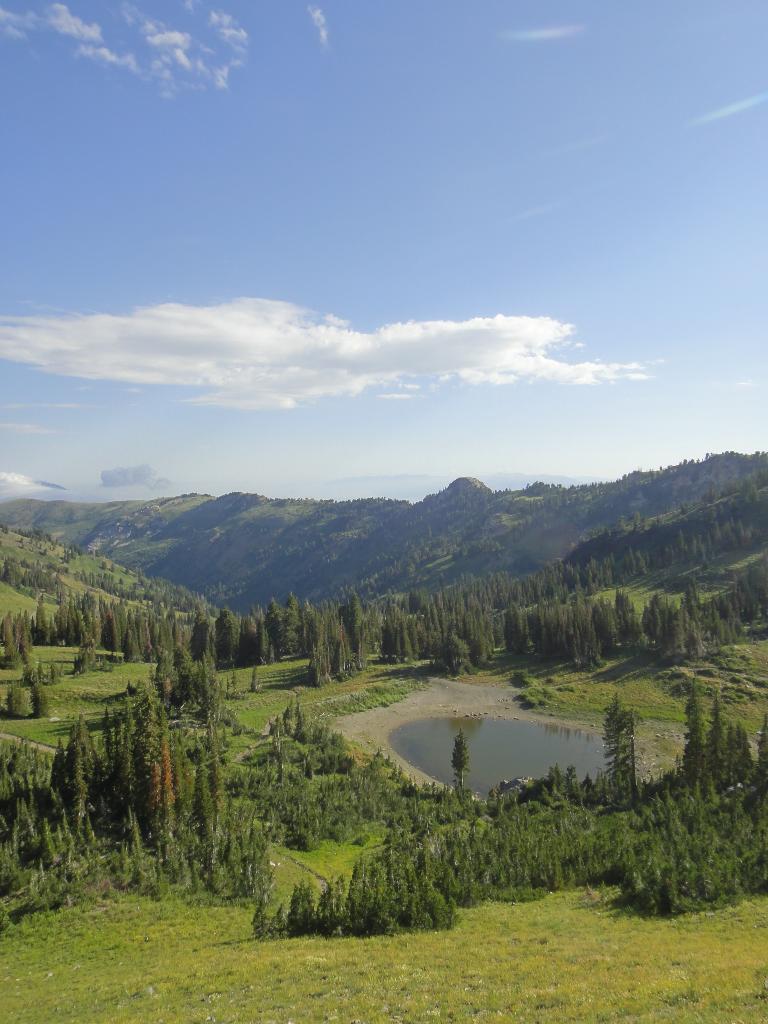
- 11.1 miles - Willard Basin, a parking area is on the left, with some primitive camp sites on the right. The road continues, but gets very rough as it climbs out of the basin. This is the recommended starting point.
Route Description
Summit: 2976 m ( 9764 ft. )
Trailhead: 2643 m ( 8672 ft. )
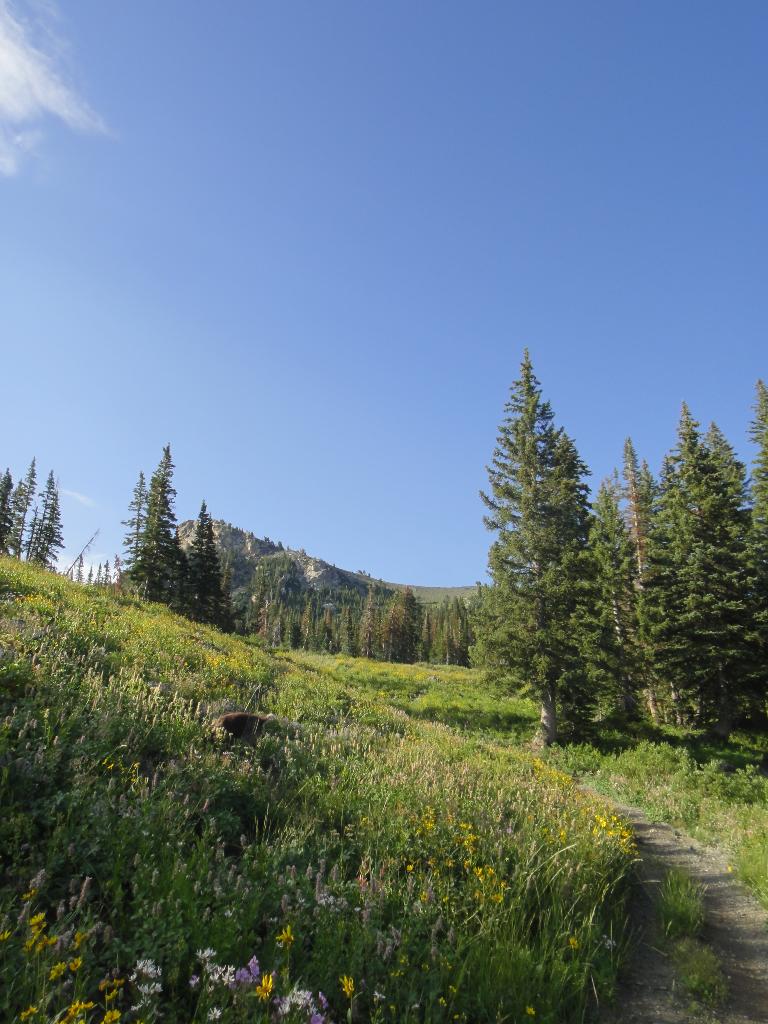
From the trailhead, look south and you can see an old road angling up the hillside from the left to the right. Follow one of many use trails south from the trailhead as they meander and merge up to the old road. Follow the old road up to where it tops out on the shoulder of Willard Peak. (3/4 of a mile and 500' of elevation)
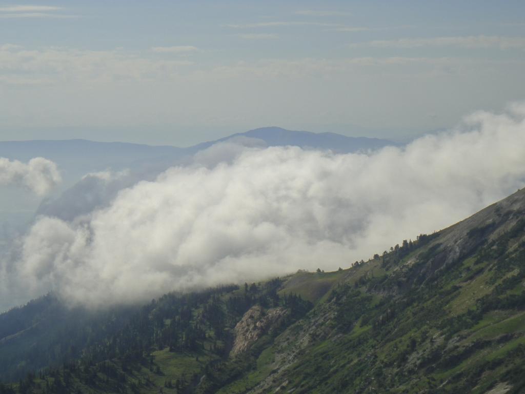
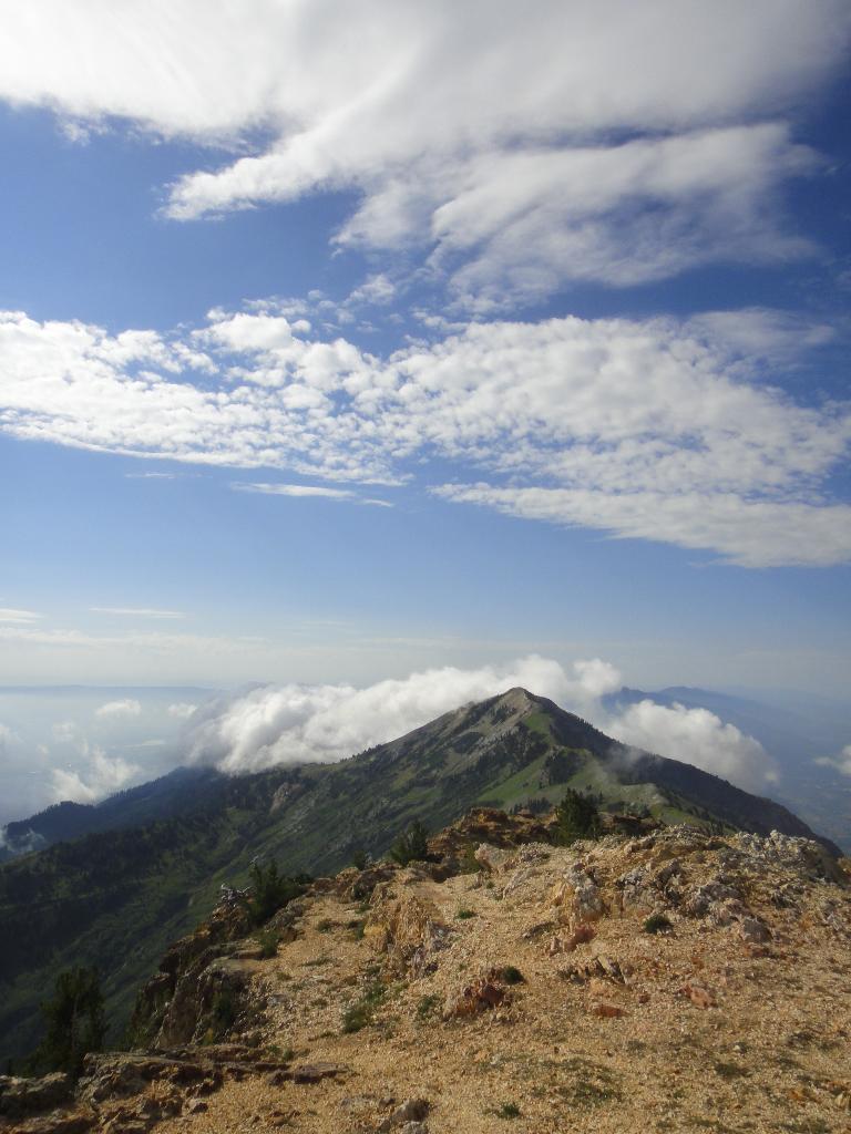
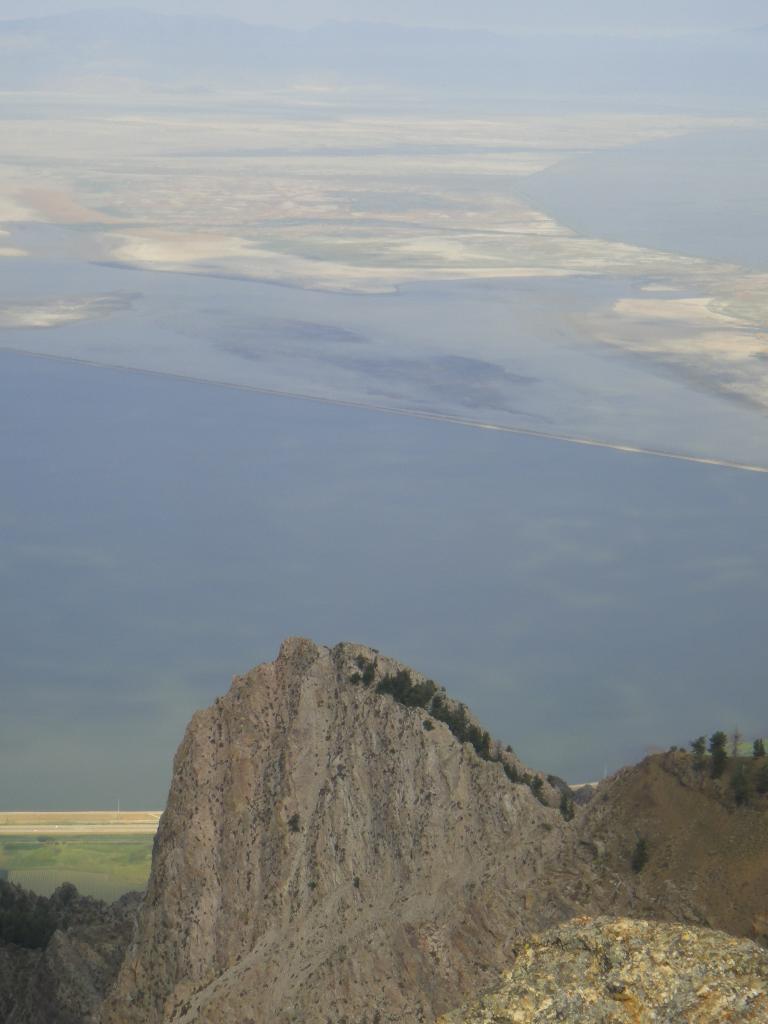
Leave the trail and work up the north ridge of Willard Peak. A use trail becomes more distinct as you near the top. (1/2 mile and 500' of elevation) The Great Salt Lake, Ogden, and even Cache Valley are visible from the summit.
Bask in the amazing views and grab a summit pic before returning the way you came. Alternatively, once back on the trail at the shoulder, Ben Lomond is an easy 1.8 miles to the south if you want to bag two peaks in one day.
Maps

12T 418206E 4582674N
41°23'29"N 111°58'42"W
12T 418523E 4581713N
41°22'58"N 111°58'28"W