Horseshoe Springs | Skull Valley

Roadside Attraction Horseshoe Springs - Skull Valley Roadside Attraction Horseshoe Springs

Skull Valley

Overview

Wed Mostly sunny, with a high near 67. South southwest wind 10 to 20 mph.
67° | 40°
Thu Rain showers likely before 9am, then rain and snow showers likely between 9am and noon, then showers and thunderstorms between noon and 3pm, then a slight chance of thunderstorms and rain and snow showers. Mostly cloudy, with a high near 56. Chance of precipitation is 90%. New rainfall amounts between a quarter and half of an inch possible.
56° | 44°
Fri A chance of snow showers before noon, then a slight chance of snow showers and a slight chance of thunderstorms. Partly sunny, with a high near 46.
46° | 25°
Sat Sunny, with a high near 57.
57° | 29°
Sun Mostly sunny, with a high near 68.
68° | 39°
RATING: Roadside or Easy Hike
MAPS: SALT MOUNTAIN, UT
SEASON: Fall, Winter, Spring (Buggy in late spring through mid-fall)
WATER: None, bring all you need.
Wed Mostly sunny, with a high near 67. South southwest wind 10 to 20 mph.
67° | 40°
Thu Rain showers likely before 9am, then rain and snow showers likely between 9am and noon, then showers and thunderstorms between noon and 3pm, then a slight chance of thunderstorms and rain and snow showers. Mostly cloudy, with a high near 56. Chance of precipitation is 90%. New rainfall amounts between a quarter and half of an inch possible.
56° | 44°
Fri A chance of snow showers before noon, then a slight chance of snow showers and a slight chance of thunderstorms. Partly sunny, with a high near 46.
46° | 25°
Sat Sunny, with a high near 57.
57° | 29°
Sun Mostly sunny, with a high near 68.
68° | 39°
The lovely Horseshoe Springs

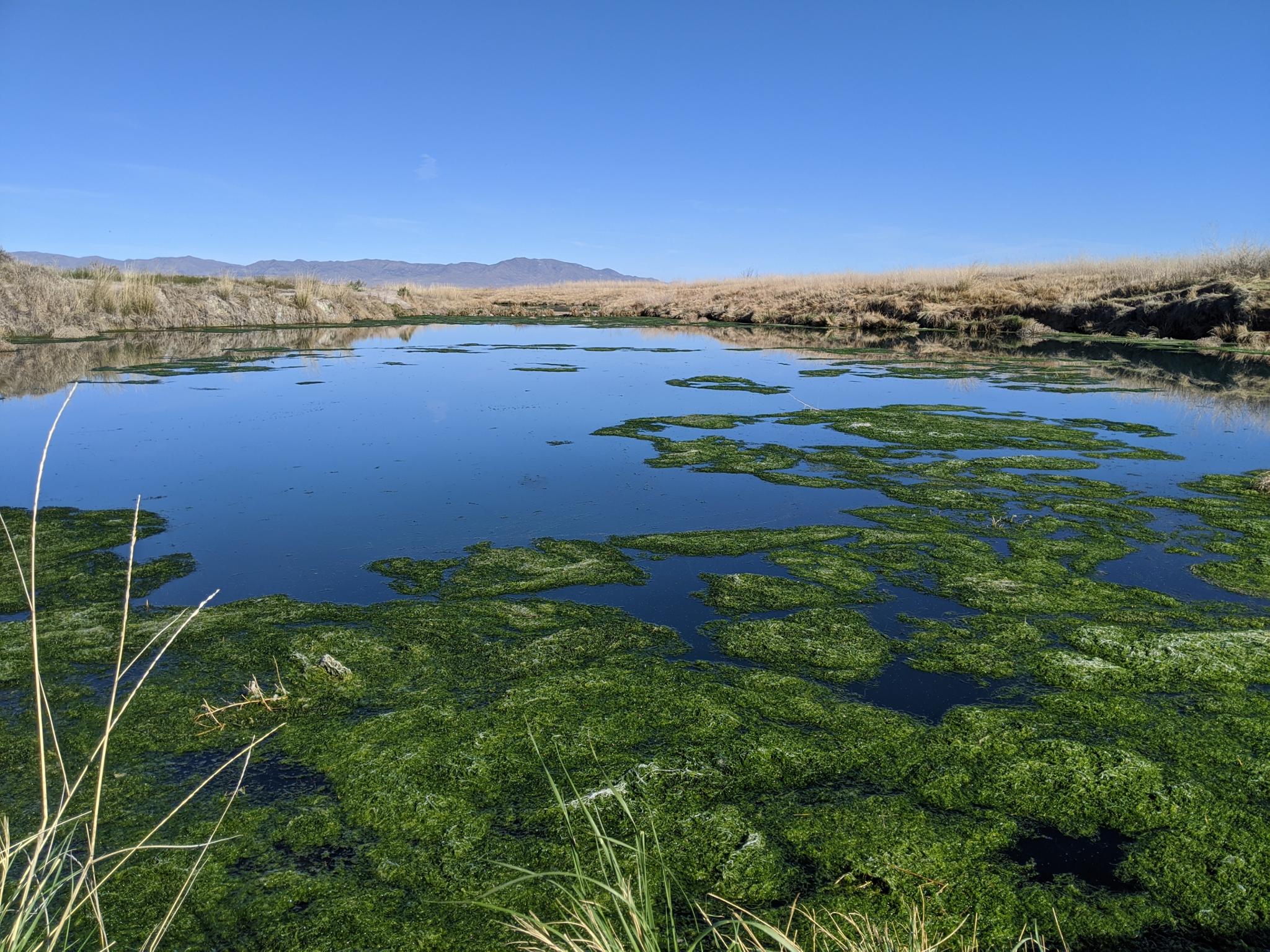
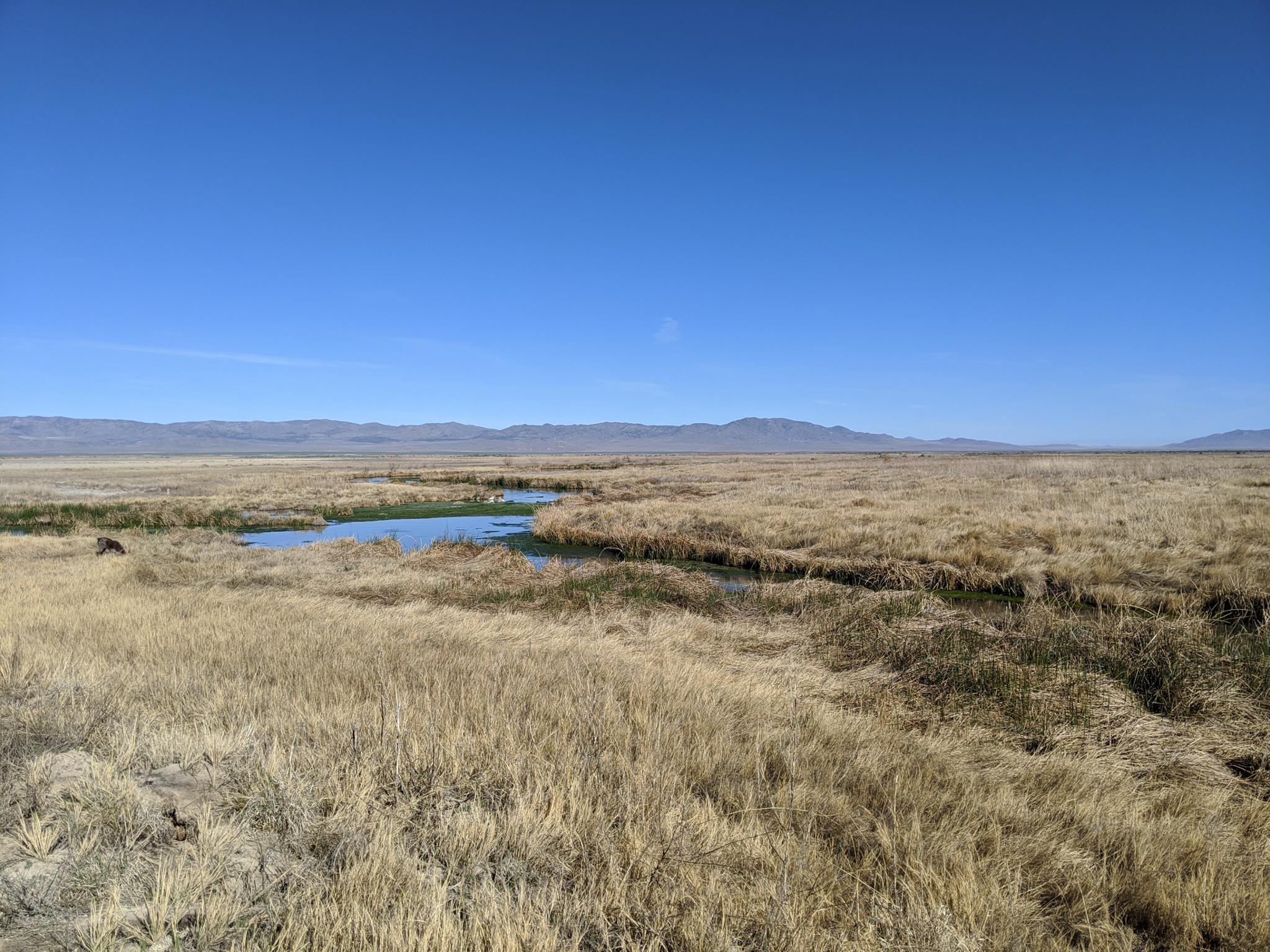
Horseshoe Springs is one of few bright spots in Utah’s West Desert that early travelers following the Hastings Cutoff trail found in otherwise desolate and challenging landscape. Horseshoe Spring is the confluence of two large springs that form a horseshoe shaped pool. Travelers would pause here to rest, get water, and prepare for the arduous section of trail through the Cedar Mountains and then across the Salt Flats and finally to the more hospital Pilot Range beyond.

The springs were used by Goshute Indians and visited by Jedediah Smith in 1827, well before the time of the emigrant travelers that came in 1846. This was also a stop on the now infamous Donner-Reed party route.

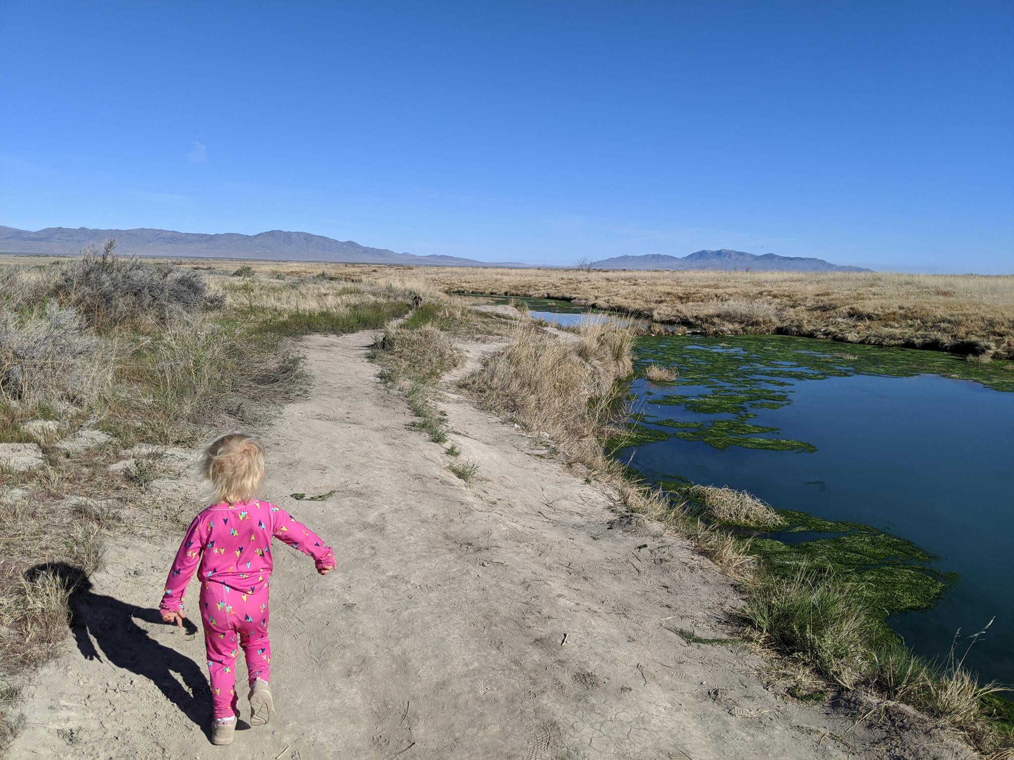
Today, in addition to a historical site, the area is a Wildlife Management Area. Several informational signs mark the trailhead, and a dirt trail meanders around the springs. It is an interesting place to visit. Recommended, especially if you happen to be passing through the area.

Note: Bugs can be bad in the late spring, summer, and early fall. I recommend visiting in cooler times of the year, or your visit is likely to be short.
Dirt trail along the springs.

Getting There

Horseshoe Sperings is in Skull Valley, about 50 miles west of Salt Lake City on I-80. Go west on I-80 from Salt Lake City to exit 77, signed Dugway / Iosepa. Go south off the highway on UT-196 for 9.6 miles to mile post 27.3 and the signed Horseshoe Springs on the right. Follow the good dirt road a short distance to the springs and parking area.

The Cedar Mountains in the distance.

Route

From the trailhead, a log walk crosses a small stream, then the trail meanders in a large loop around the bank of the spring and back to the trailhead.


Maps

Printable Maps:

Trailhead

12T 355502E 4497303N

40°36'50"N 112°42'29"W

Comments

Want to make a comment? Login and let yourself be heard.