
 Ibex
Ibex
Tule Valley Area
Overview
Ibex, in Utah's West Desert, is a fascinating place. The place was built by English immigrant Jack Watson. He created his isolated Ibex, where a few small water holes and lots of open country provided resources. Jack even went so far as setting up a post office as part of Ibex in 1898. He set up a small store selling goods and catering to sheepherders in the west desert. He stayed at Ibex until the 1930s. During this time, he kept a fairly detailed diary of his life. If you are interested in the detailed history, I can't recommend the book Hiking, Climbing & Exploring Western Utah's Jack Watson's Ibex Country by Michael R. Kelsey enough. Michael Kelsey has thoroughly researched Jack's life, and includes many entries from his diaries. It is a fascinating read.
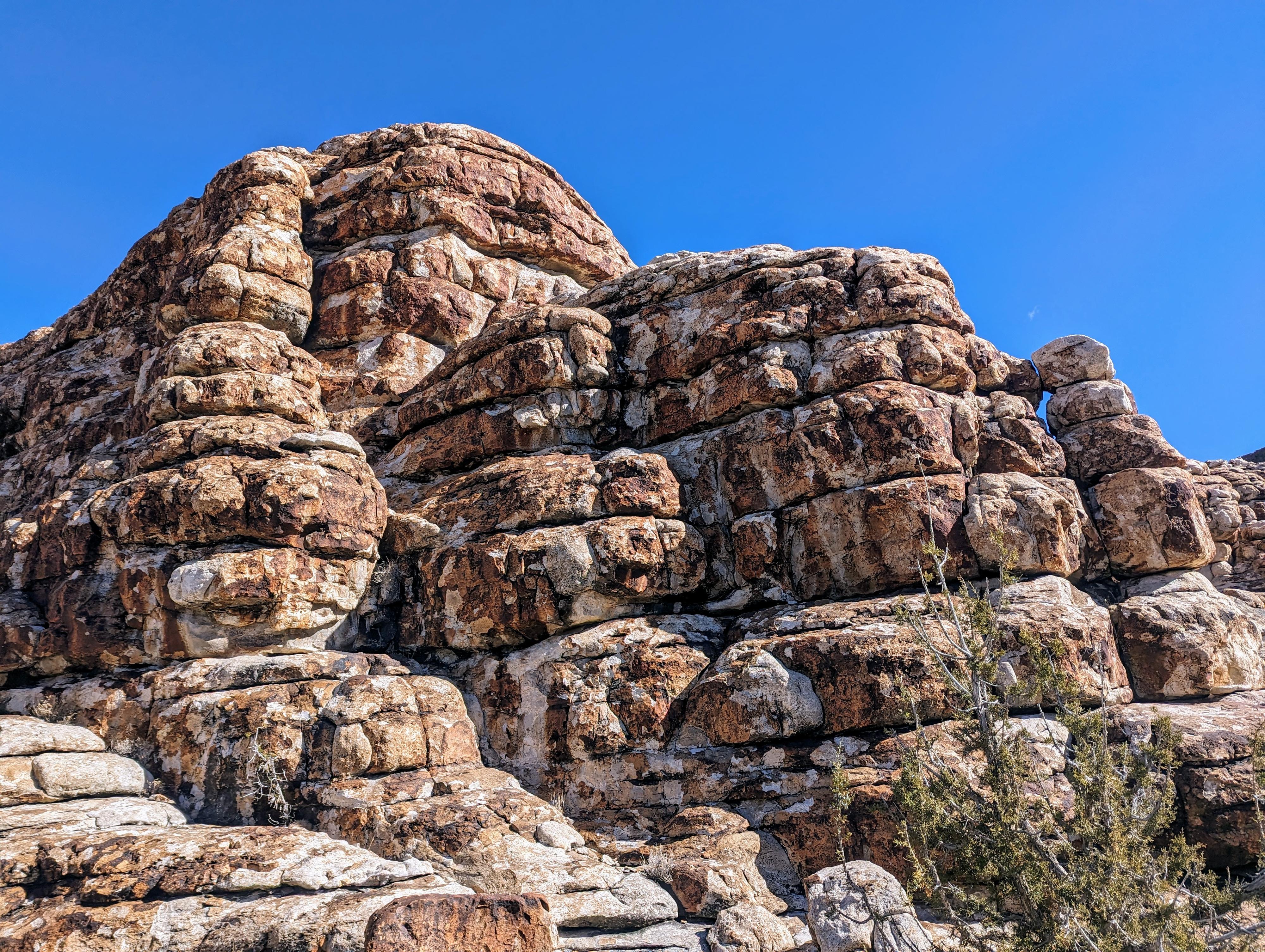
Today, there isn't much left of the old place. A few metal parts here and there, as well as some old fencing and rocks that likely made up the house foundation. Relics appear to have gotten more sparse even since my first visit 10 or so years ago. Please leave anything you find where you found it, the antiquities act protects it. The area, tucked up next to a large, exposed quartzite outcropping, is fascinating to explore. Jack built several small dams to capture water, which are still in place, there are also petroglyphs and pictographs near one of these dams, and many rocks and boulders to scramble around on.
Getting There
To reach Ibex, head west out of Delta on US-6, heading toward Nevada. It is about 50 miles on US-6 to mile post 39.25 where a major dirt road leaves on the south side of US-6.
Route Description
Rock art and historic sites are fragile, non-renewable cultural resources that, once damaged, can never be replaced. To ensure they are protected, please:
- Avoid Touching the Petroglyphs: Look and observe, BUT DO NOT TOUCH!
- Stay on the Trails: Stay on the most used trails when visiting sites, and don't create new trails or trample vegetation.
- Photography and Sketching is Allowed: Do not introduce any foreign substance to enhance the carved and pecked images for photographic or drawing purposes. Altering, defacing, or damaging the petroglyphs is against the law -- even if the damage is unintentional.
- Pets: Keep pets on a leash and clean up after them.
- Artifacts: If you happen to come across sherds (broken pottery) or lithics (flakes of stone tools), leave them where you see them. Once they are moved or removed, a piece of the past is forever lost.
The Horse Pasture
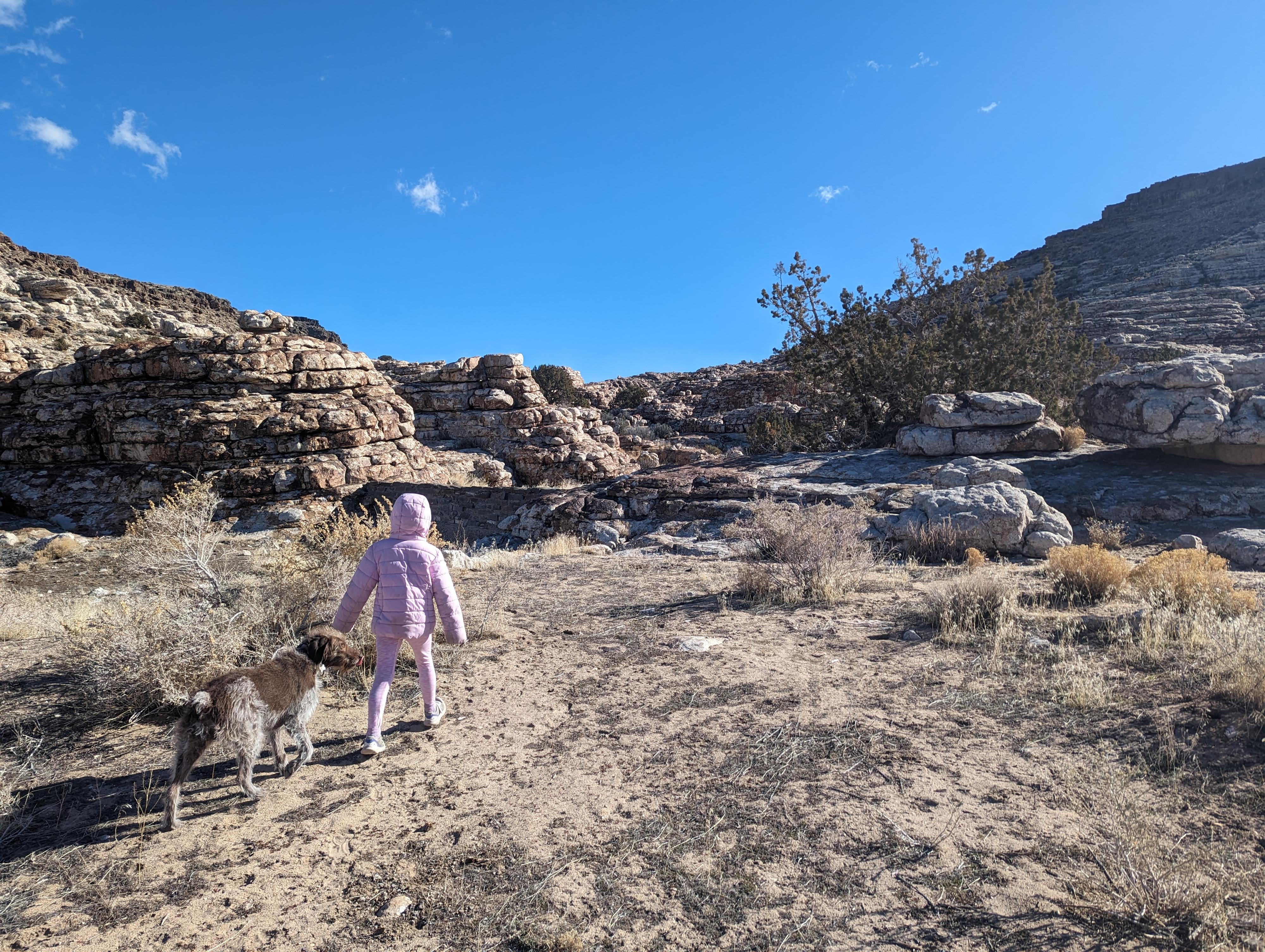
From Jack's old place, there is a dam and canyon to the east and a touch north. This drainage is named The Horse Pasture, and what we thought was the most interesting place at Ibex.If you hike up the bottom of the drainage, past the first dam, keep an eye out on the right for a couple of old pictograph panels. Both have weather significantly, and could be mistaken for natural colors in the rock until you view them up close.
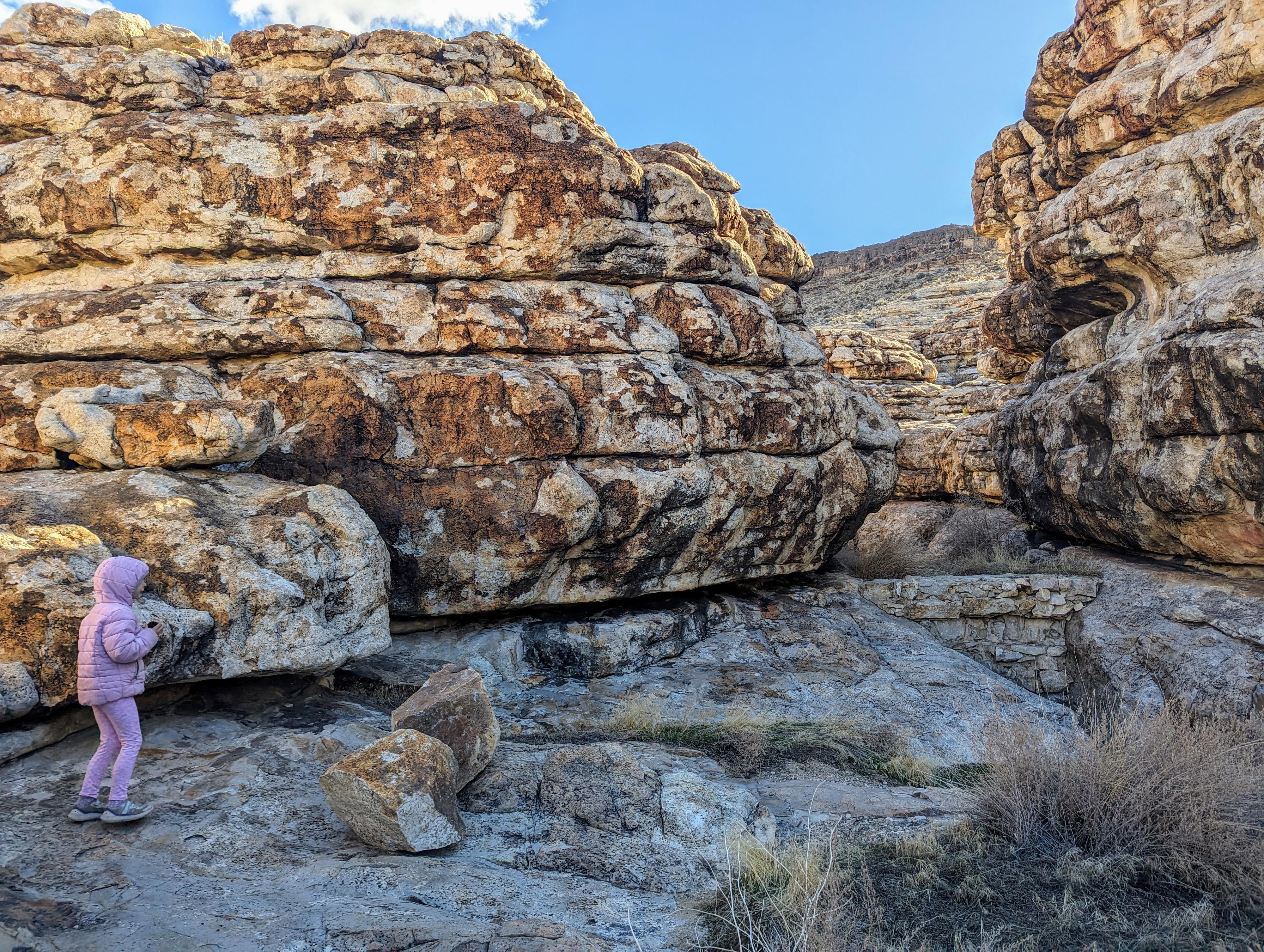
Just a few minutes above the dam, the canyon narrows at a second small dam. Climb around the dam on the left side, but be sure to notice the petroglyph on the right side, flat on a ledge, facing up just below the dam. Just above the dam is another pictograph on the right, a circular pattern.
The narrow canyon has a small up climb section that didn't give our 6-year-old any trouble, but did give the dog pause. If continuing up with dogs, you may need to give them a boost here. The canyon quickly opens and becomes easier walking. We wandered up a bit, enjoying the colorful rock walls until it began to open broadly with less interesting scenery.
We also hiked up the canyon just south of Jack's place as well. It is brushy, and not as scenic as Horse Pasture.
Southern Tanks
Finally, if you start at the last junction before Ibex, mentioned in the driving directions, you can hike a bit south and east to another small dam (tank) that Jack built. Like all the others, it has mostly filled with sediment over the years. From there, head south over a small hill and into the next drainage. Head up this drainage to a final dam just above a short, narrow section of canyon.
Photos
Maps

12S 288510E 4306785N
38°53'04"N 113°26'18"W
12S 288546E 4306817N
38°53'05"N 113°26'16"W
12S 288620E 4306796N
38°53'05"N 113°26'13"W
12S 288635E 4306794N
38°53'05"N 113°26'13"W
12S 288363E 4306526N
38°52'56"N 113°26'24"W
12S 288625E 4306403N
38°52'52"N 113°26'13"W