 Hiking Lamoille Lake
Elko Nevada
Overview
|
Fri 40 | 27 |
Sat 44 | 29 |
Sun 38 | 31 |
Mon 35 | 25 |
Tue 39 | 22 |
| View Full Weather Details | ||||
|
Fri 40 | 27 |
Sat 44 | 29 |
Sun 38 | 31 |
Mon 35 | 25 |
Tue 39 | 22 |
| View Full Weather Details | ||||
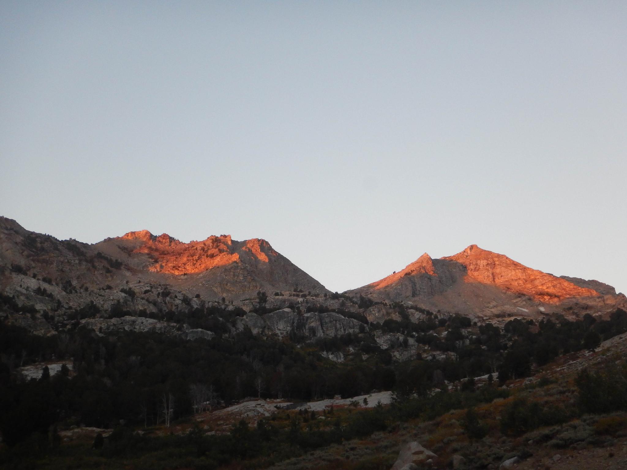
A relatively short hike from the trailhead, this is a good family friendly leg-stretching hike that will give a good, albeit brief, introduction to the Ruby Mountains. Though relatively short, the hike offers big views of Lamoille Canyon and has several smaller lakes to pass en route. This is a popular destination for fisherman, so be sure to bring your rod and reel if you are inclined. This also makes a great short overnighter for families.
Getting There
From downtown Elko, take 5th Street south, which becomes state road 227. This is well signed for Lamoille Canyon. From Elko, stay on 227 for about 19 miles to the signed Forest Road 660 on the right. Signed for Lamoille. Follow the road to its ends in 12 miles. This is the exit trailhead. There is a toilet at the trailhead, but no camping. Thompson Canyon Campround is part way up the canyon, but can fill up on weekends. See Reserve America for reservations.
Route
From the trailhead, follow the main trail. It climbs in the wash bottom, then begins a series of wide, sweeping switchbacks climbing up to the next layer of the canyon. Once up a layer, the trail flattens out a bit and offers great views of Lamoille Canyon.
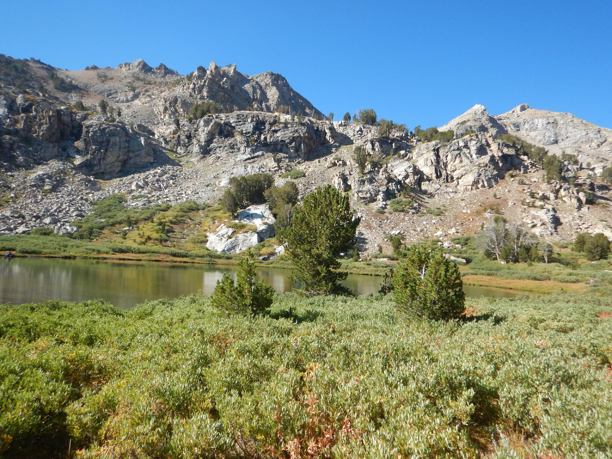
The first few lakes passed are called Dollar Lakes. They are much smaller and don't tend to attract the number of visitors Lamoille Lake does. If looking for a bit of solitude, these lakes can likely offer it.
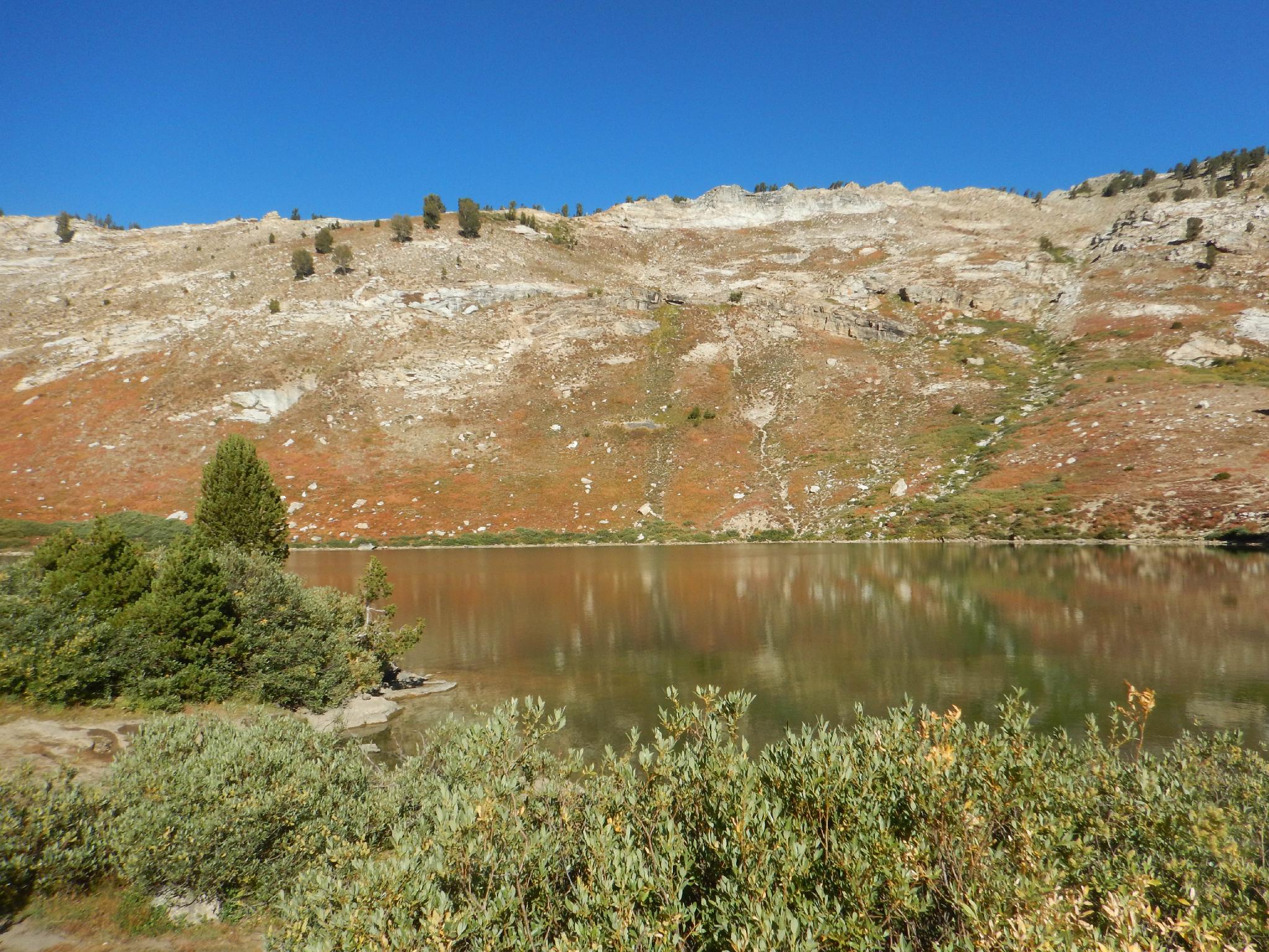
Continuing past Dollar Lakes, it is a short distance to the junction for Lamoille Lake on the right. The lake is within sight of this junction and offers quite a few good primitive campsites along its shore.
| Trailhead - Lamoille Canyon |
11T 637422E 4496080N 40°36'15"N 115°22'33"W |
| Dollar Lakes |
11T 636470E 4494865N 40°35'36"N 115°23'14"W |
| Lamoille Lake Jct |
11T 636071E 4494801N 40°35'34"N 115°23'31"W |
| Stock Trail Jct - Stay Left |
11T 636122E 4494825N 40°35'35"N 115°23'29"W |
| Lamoille Lake |
11T 635986E 4494802N 40°35'34"N 115°23'35"W |


