
 Roadside Attraction
Baker Archeology Site
Roadside Attraction
Baker Archeology Site
Baker
Overview

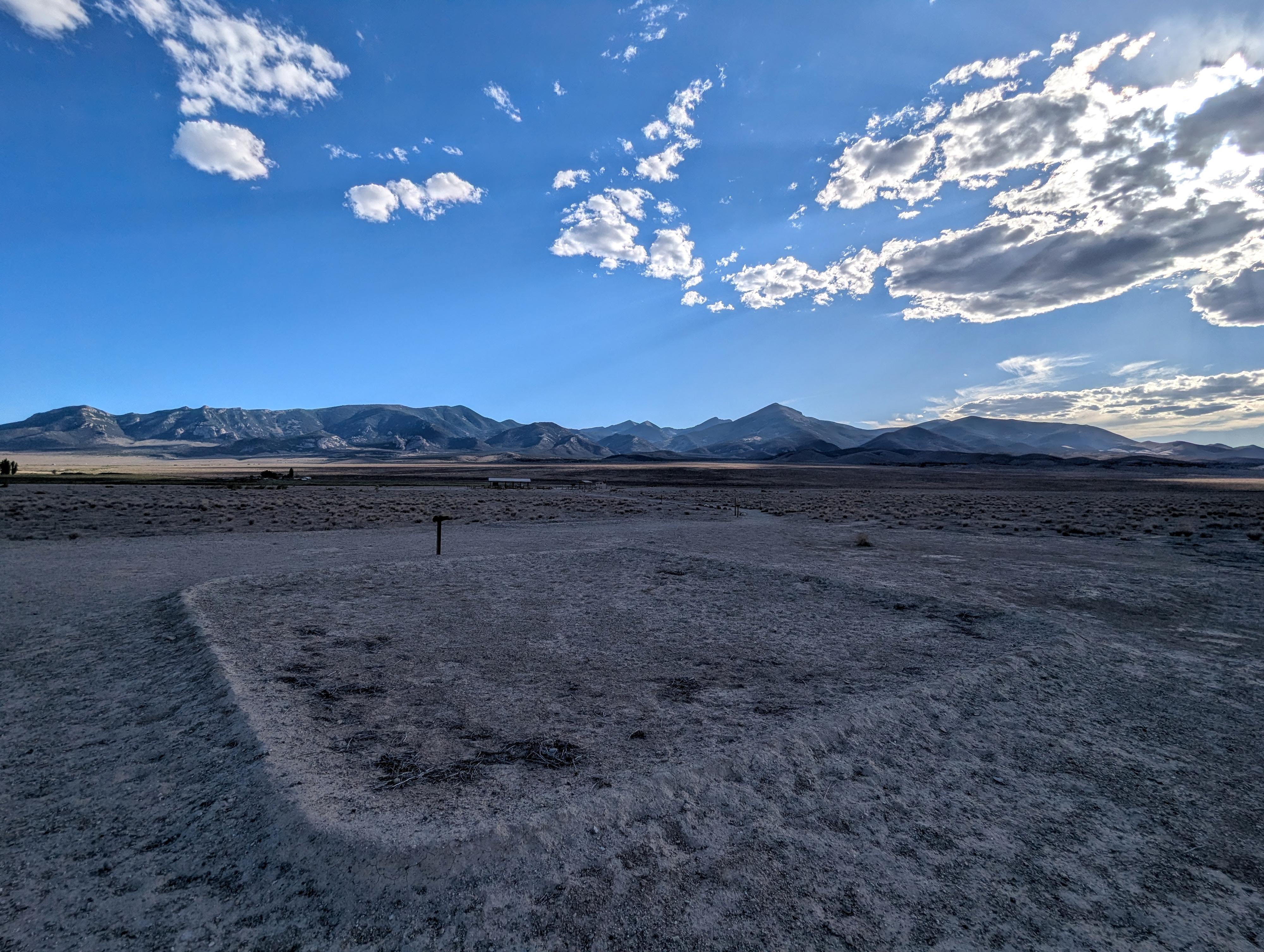
Tucked away in the quiet expanse of the high desert near the Nevada–Utah border lies Baker Village, a fascinating window into the lives of the Fremont people who farmed, built, and thrived here over eight centuries ago. While many travelers head straight for Great Basin National Park, this unassuming archaeological site is an interesting place to learn more about the Native peoples who called this area home for millennia.
What makes Baker Village fascinating is the design behind it. This was no random gathering of shelters; it was a meticulously planned settlement engineered around the rhythms of the sun. As you walk the trail among the foundations of adobe granaries, subterranean pit houses, and the central "Big House," you’re standing in a village built to double as a calendar, where sunlight and shadow dictated the seasons of planting and harvest.
Getting There
From Baker, head north out of town. About 1.6 miles from Baker proper, turn right onto Cut Off Road. Follow Cut Off Road for about 0.6 miles and turn right on Fence Road. This is signed for the archeology site. Drive Fence Road about 1/2 mile to the site. There is a pavilion and a pit toilet at the trailhead.
Route Description
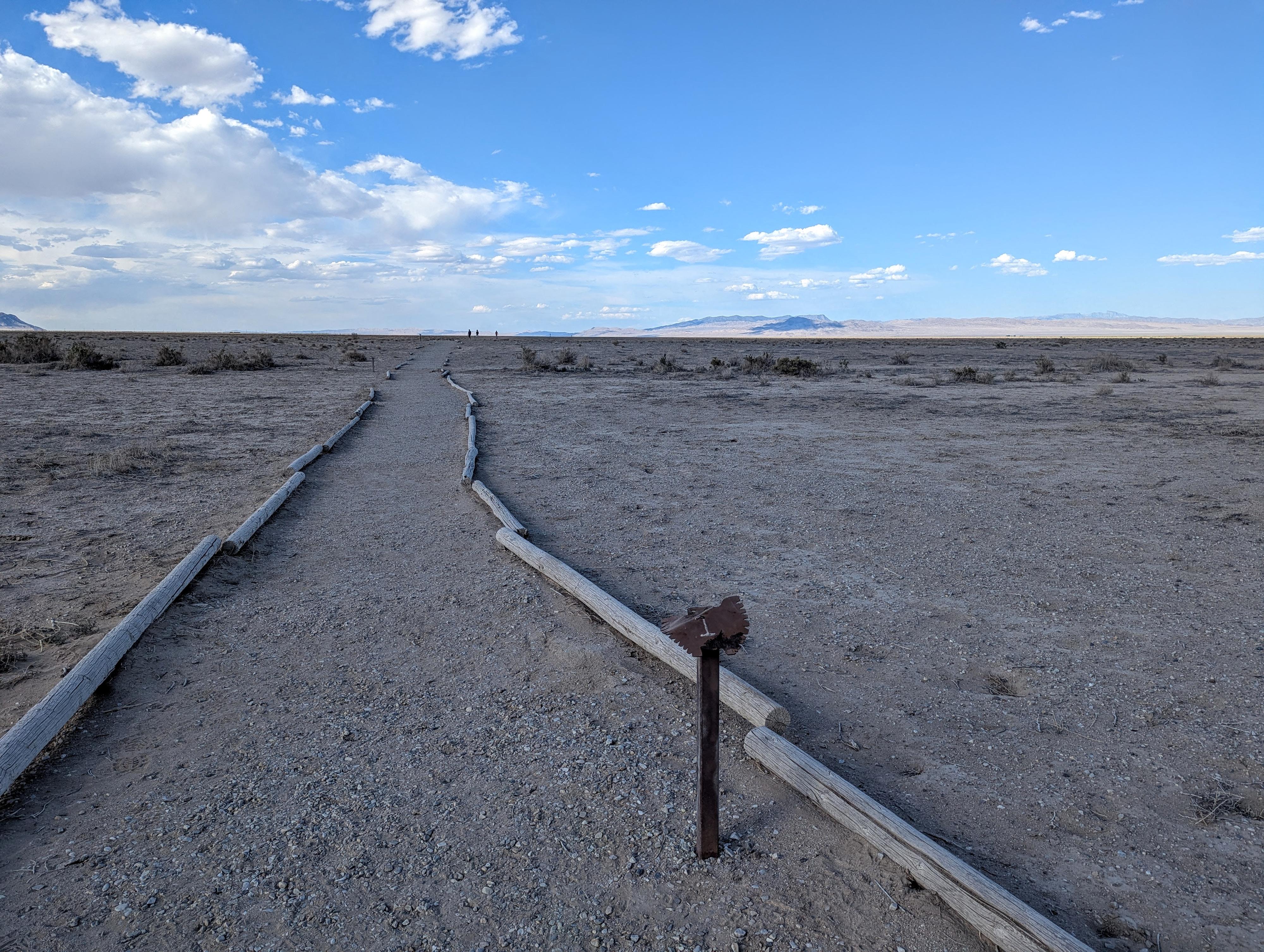
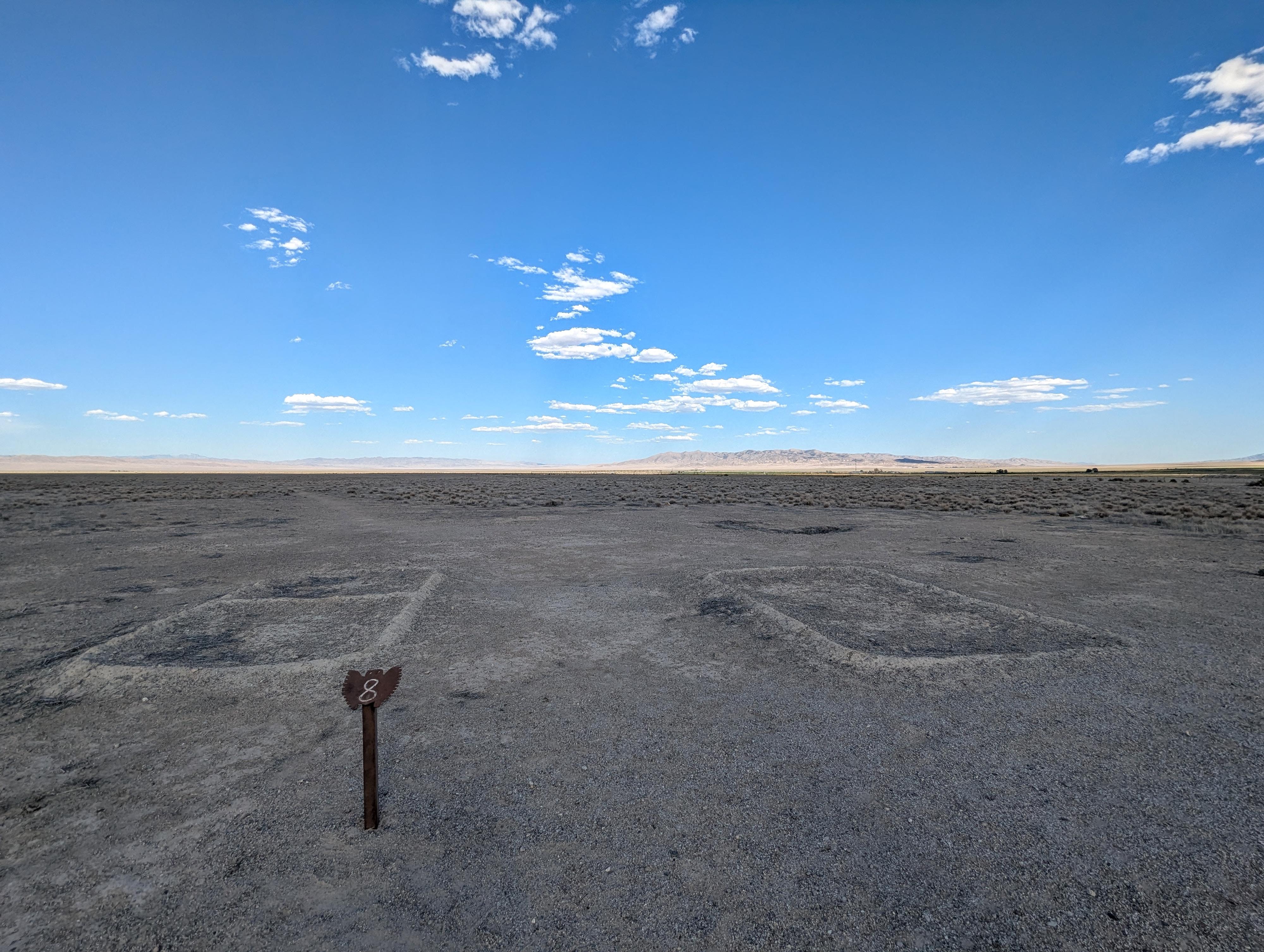
From the trailhead, a well-traveled path goes across the flat plain, passing numbered signs that have entries in the trail guide. The sights themselves are small and not particularly interesting. With the trail guide giving more history and context to the site, however, the place came alive to me, and our family found it very interesting.
Maps
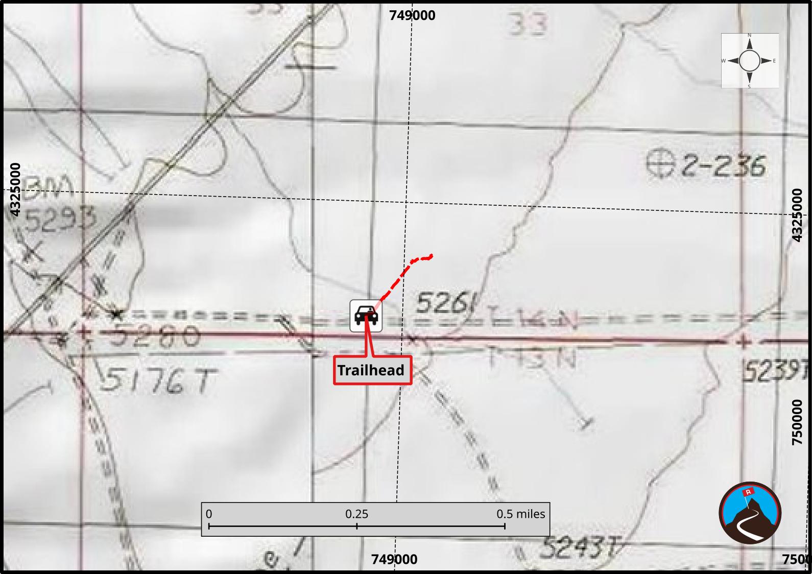
11S 748911E 4324721N
39°02'10"N 114°07'27"W