
 Kane County Highpoint
Navajo Lake
Overview
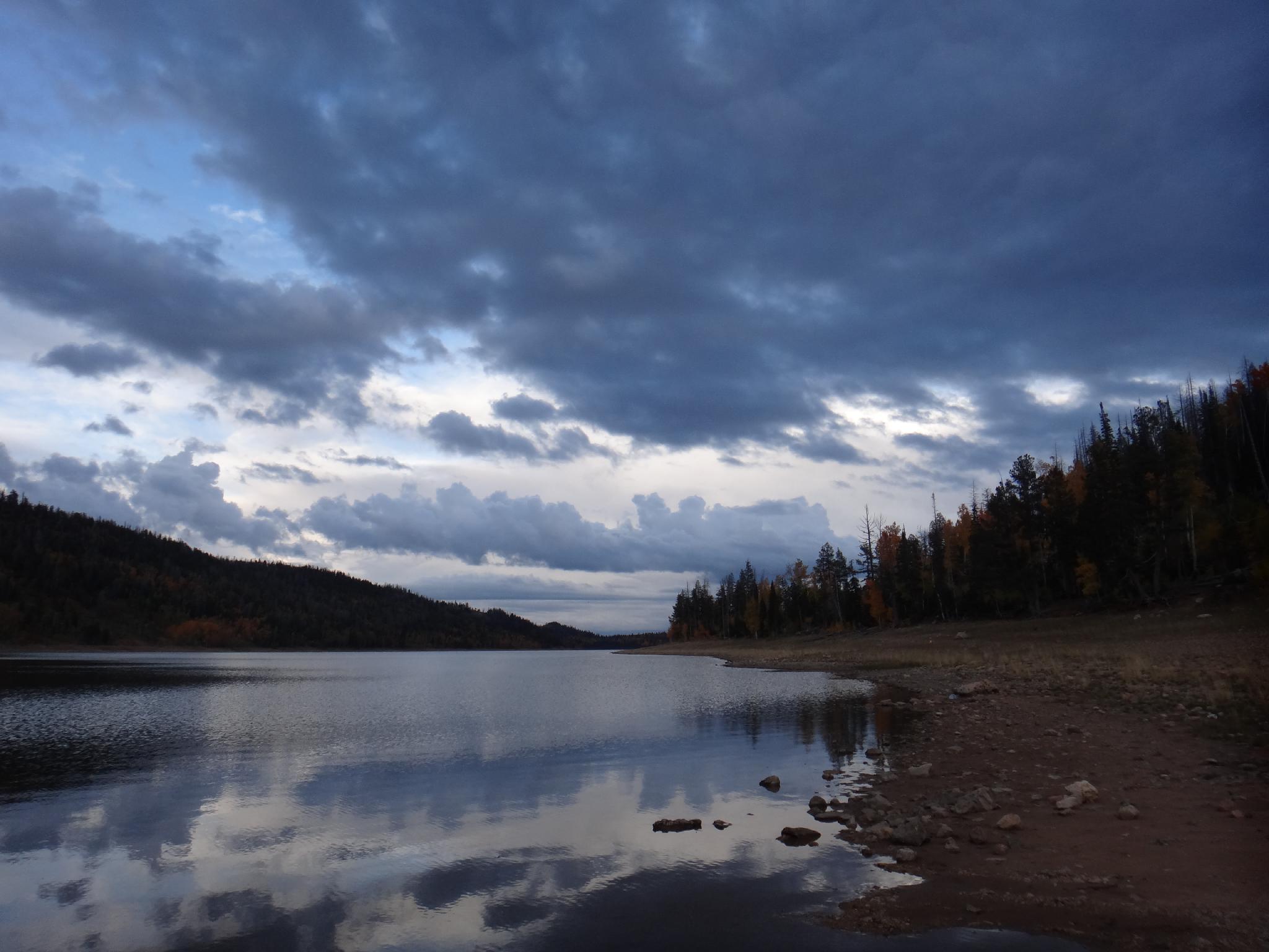
The Kane County Highpoint and the Wasatch County Highpoint both share the same characteristic of being a spot on a ridge, rather than a true peak summit. Similarly, the highest true peak in each county is nearby the county highpoint and easy to access, so it seems worthwhile to visit them both. The Kane County Highpoint is more or less a roadside attraction, while its highest peak is a short hike. Though the peak and highpoint are less than dramatic, Navajo Lake, Cedar Breaks, Brian Head, and Signal Peak all make worthy additions to fill out the weekend.
Getting There
Highpoint
From Cedar City, take UT-14 about 23 miles to mile post 23.3, where a good dirt road leaves the highway on the right (west, forest road 055). Follow the good dirt road 1.5 miles to forest road 1642 and turn left. Most vehicles can get to this point. The road gets a bit rough from here, but it is easy to walk the rest if needed.
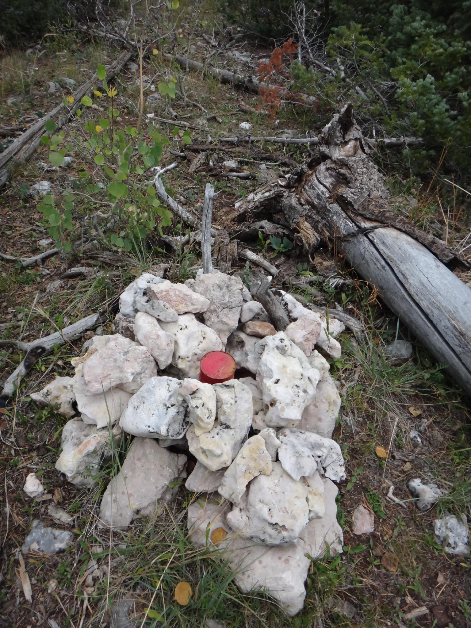
Drive up road 1642 for 1 mile, staying on the main road that is signed Marathon Trail/Overlook. The road ends at an overlook of Navajo Lake. The highpoint is in the trees just north of the overlook and has a small cairn.
Highest Peak
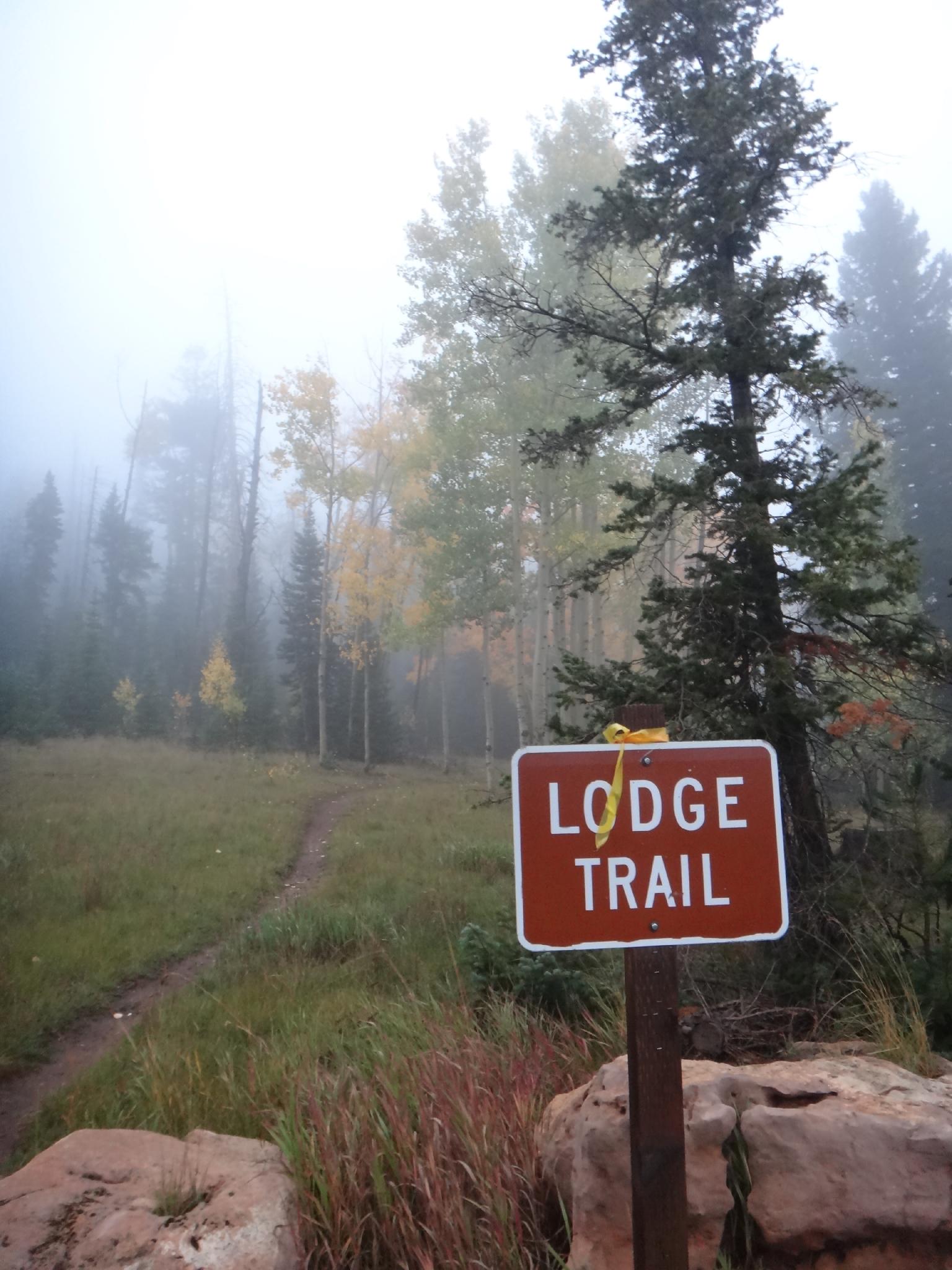
To reach the highest peak, continue on UT-14 to milepost 25.6, which is signed Navajo Lake. Take the good gravel road to Navajo Lake. At 0.3 miles from the highway, stay right. At 4.1, a Loge/Boat Ramp are signed on the right. Park here. The Lodge Trail goes off directly across the road from the Lodge/Boat Ramp turn off.
Route Description
Summit: 3072 m ( 10079 ft. )
Trailhead: 2773 m ( 9098 ft. )
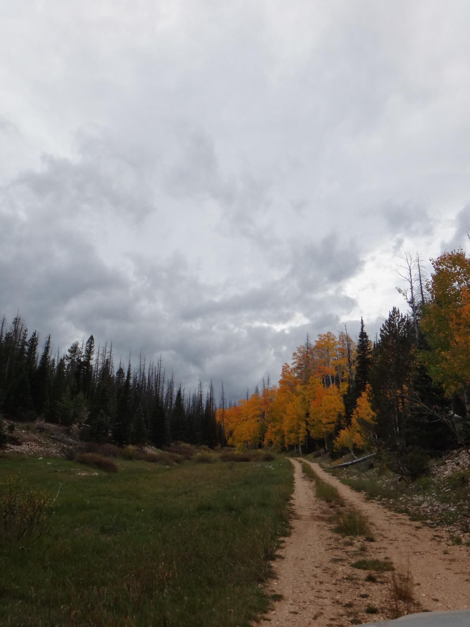
Follow the Lodge Trail, going right shortly after leaving the trailhead instead of left on the Navajo Loop Trail. The Lodge Trail meanders up and joins the Virgin Rim Trail. Go left, following the Virgin Rim Trail about 0.5 miles (1.5 total from the trailhead) to the saddle where it begins to descend. Climb the ridge to the northwest to the summit of Andy Nelson Peak (named after a surveyor in the area).
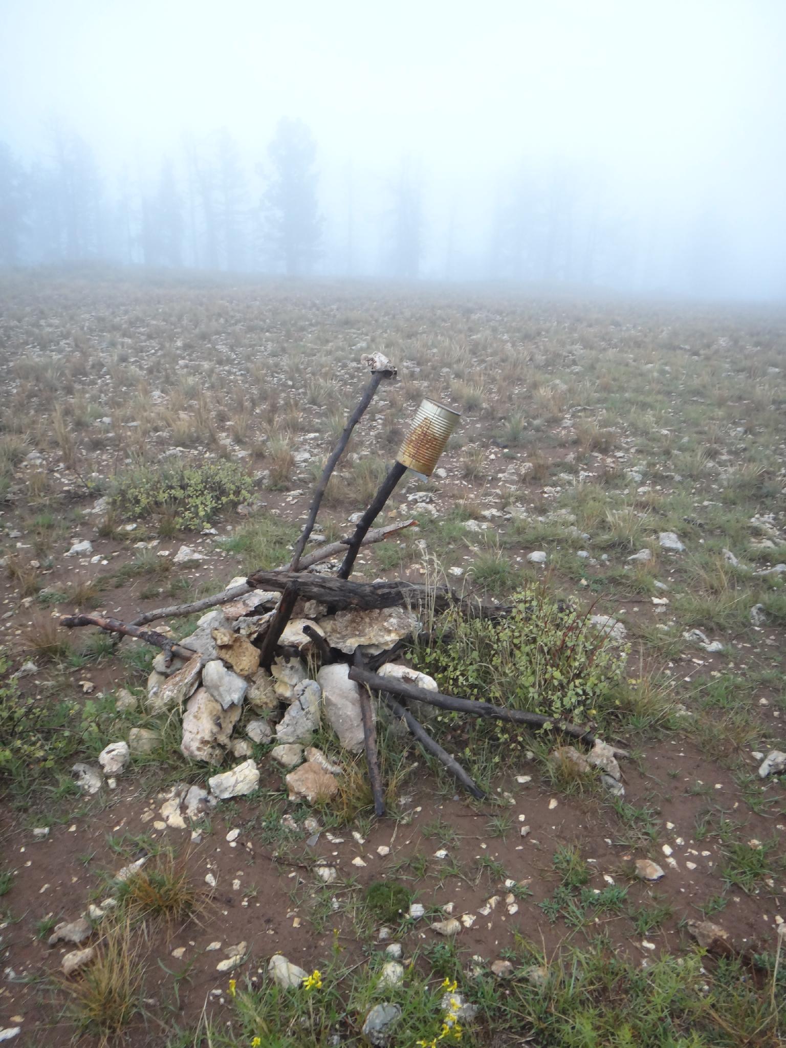
The ridge is wooded, but not difficult going, The summit is a large meadow with a cairn. Beware on the way down to stay north. Perhaps it was the fog the day I visited, but it seemed easy to get suckered into trending too far south and missing the saddle/trail.
Maps

12S 338847E 4156726N
37°32'36"N 112°49'27"W
12S 340673E 4154176N
37°31'15"N 112°48'11"W
12S 339375E 4153863N
37°31'04"N 112°49'03"W