
 Hiking
Baker Creek Loop
Hiking
Baker Creek Loop
Great Basin National Park
Overview

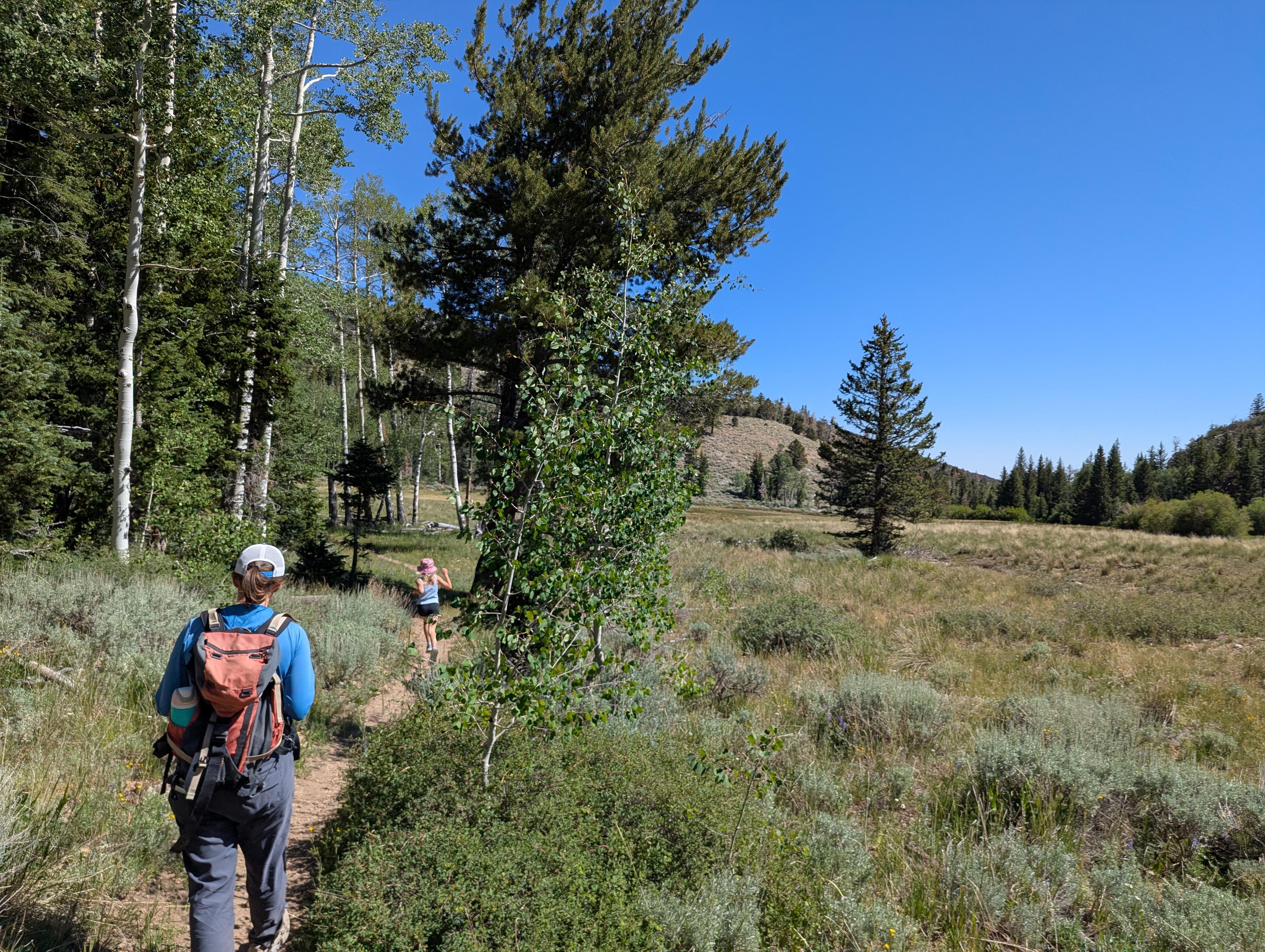
The Baker Creek Loop Trail turned out to be a charming hike. We had a few hours before our cave tour, and this was reasonably close and fit the bill for being doable before our tour, so we decided to check it out.
The hike takes a couple of hours and visits portions of Baker Creek and the South Fork Baker Creek. For Great Basin National Park, it is mid-elevation, and on our hot summer day, it was warm, but not brutally hot. The mid-elevation also makes this a popular hike earlier in the spring when the Bristlecone Trailhead near Wheeler Peak is still covered in snow. The Baker Creek trailhead is often reachable in the winter, making this a possible snowshoe as well.
We saw a couple of groups on our hike, but the area is pleasantly quiet compared to many other areas in the park. It is easy access, but feels a little off the beaten path.
Getting There
From the Lehman Caves Visitor Center, head back toward the entrance of the park for 0.5 miles and turn right onto the Baker Creek Road. The road is dirt, but good, graded dirt that should be accessible to all but very low clearance in most conditions.
Follow the Baker Creek road for 3.6 miles to its end, passing the Grey Cliffs and Baker Creek Campgrounds before reaching the trailhead at the end of the road.
Route Description
From the trailhead, go up the right trail (as you face the trailheads). This is the trail up Baker Creek and climbs the hillside, first in and out of trees, then in open terrain with several big switchbacks. Soon the trail gets closer to the creek and more shaded. This section is lovely.
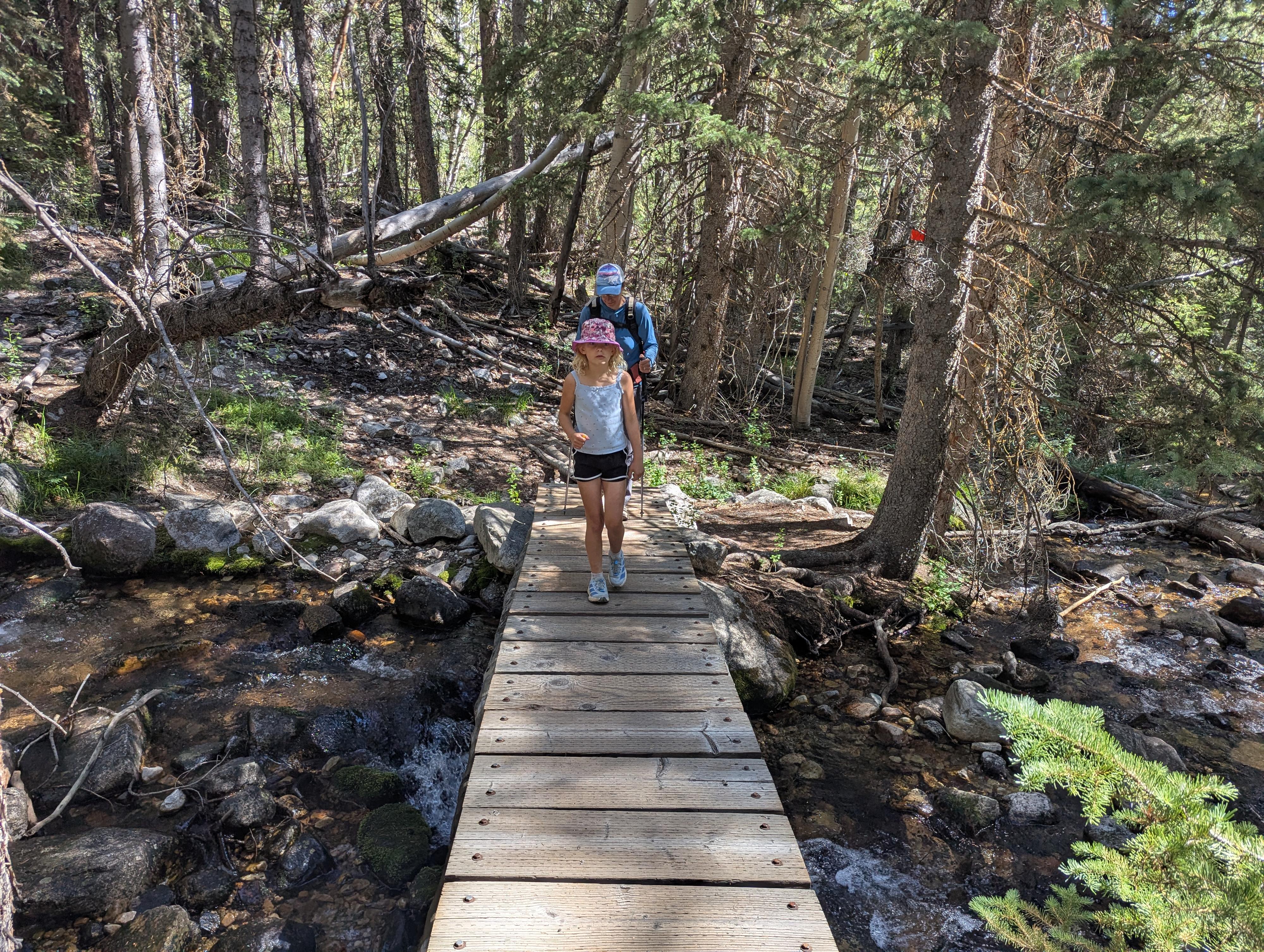
About 1.7 miles from the trailhead, a junction is reached. Go left here, with the trail descending to and crossing the creek via a bridge. Once over Baker Creek, the trail climbs up and over a ridge, descending to the South Fork of Baker Creek right at a large meadow.
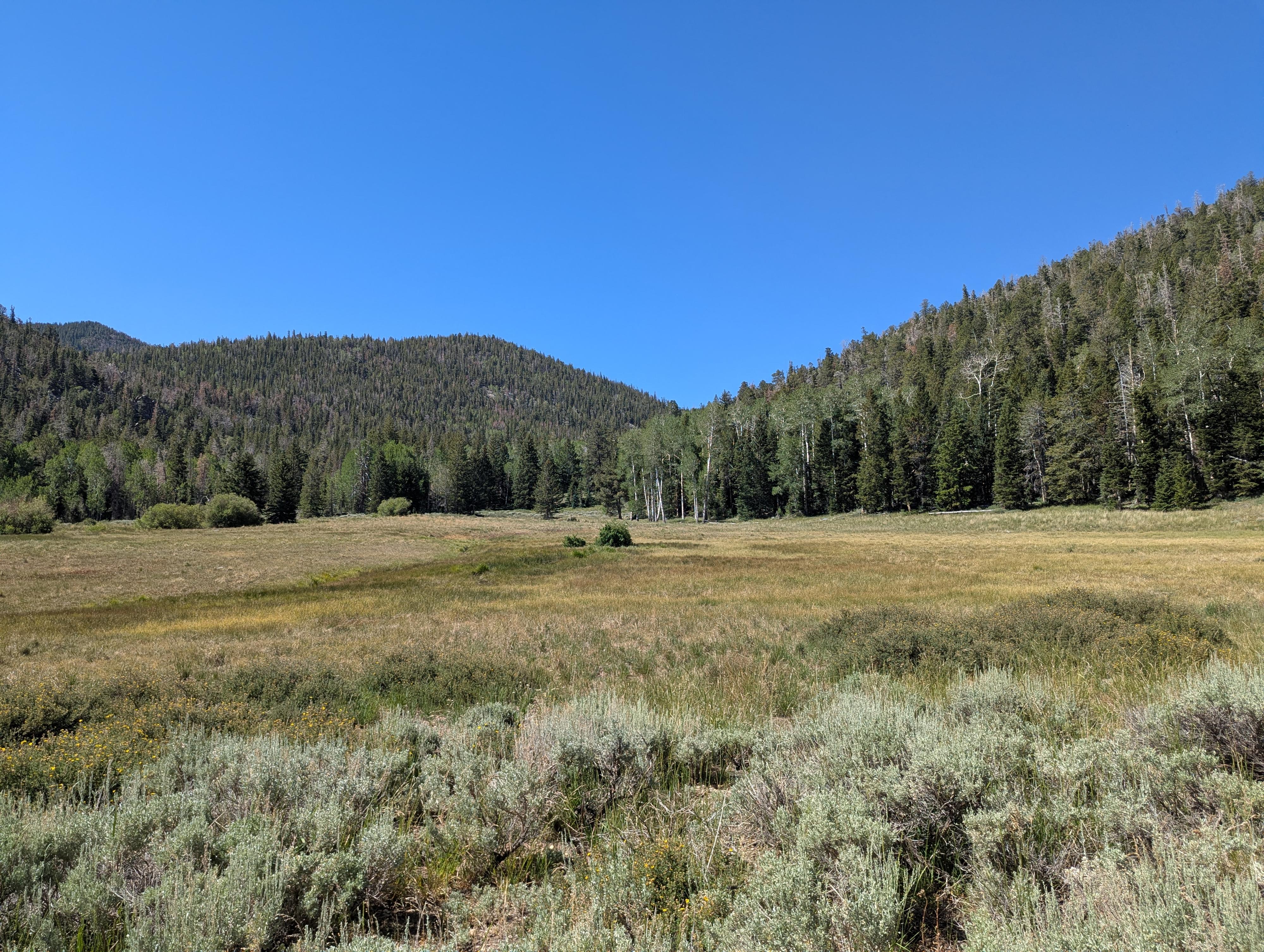
At the edge of the meadow is another junction; go left here. The trail descends the South Fork of Baker Creek in mostly shady and forested terrain. The creek is quite nice. From the meadow, down the creek to the trailhead, is about 1.5 miles.
Maps
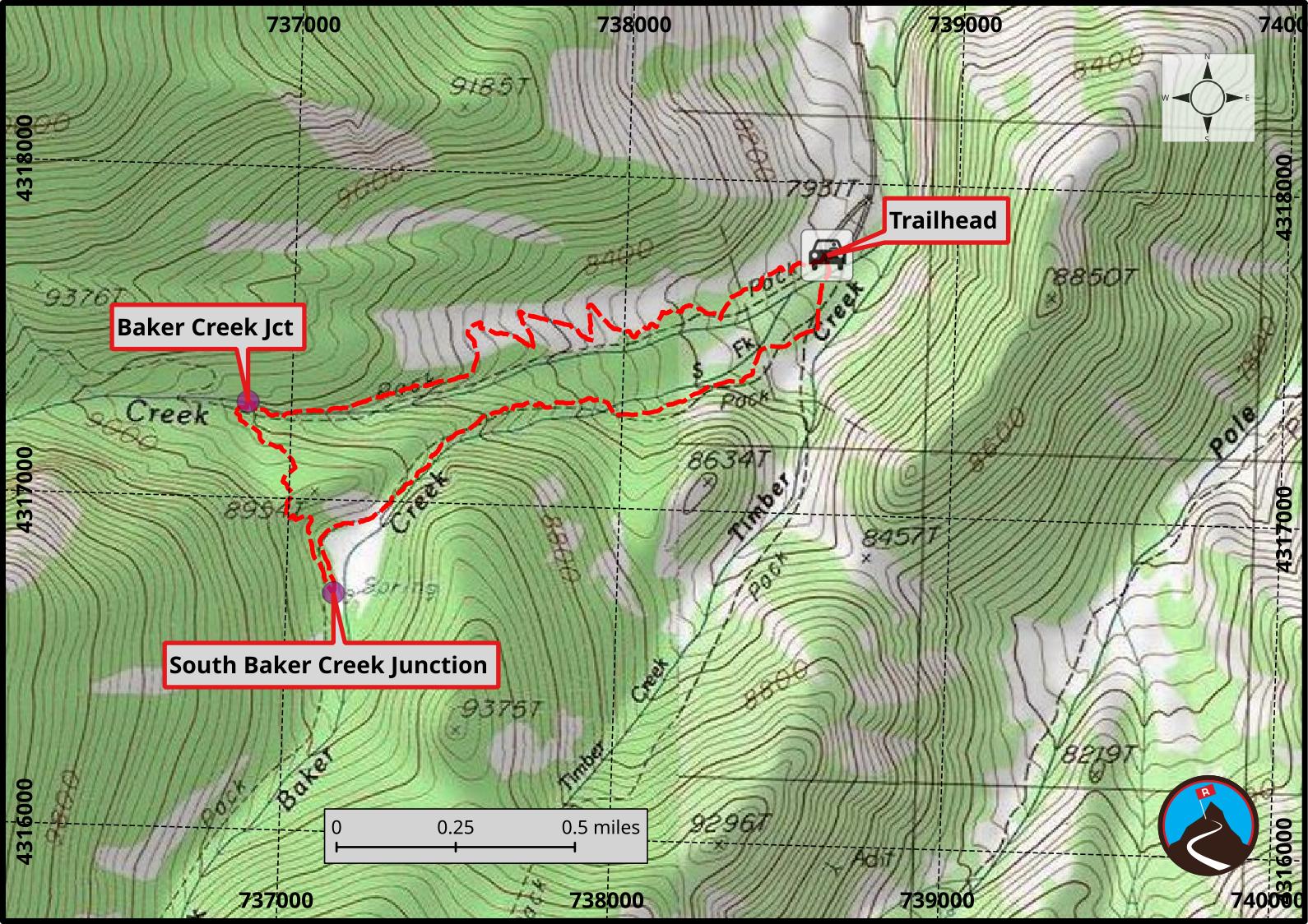
11S 738606E 4317781N
38°58'36"N 114°14'44"W
11S 736867E 4317288N
38°58'21"N 114°15'57"W
11S 737143E 4316719N
38°58'03"N 114°15'46"W