
 Hiking
Bristlecone Grove
Hiking
Bristlecone Grove
Great Basin National Park
Overview

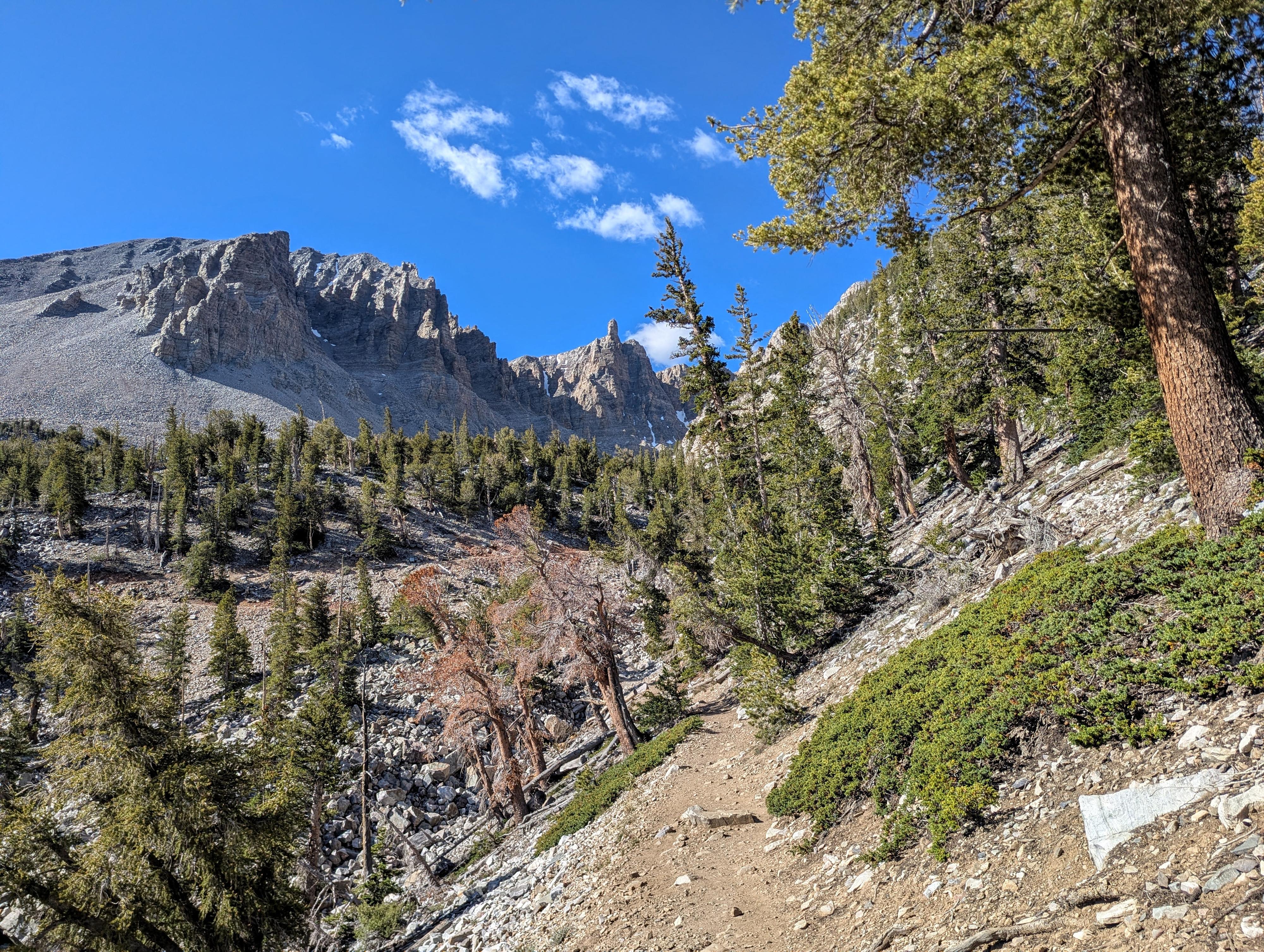
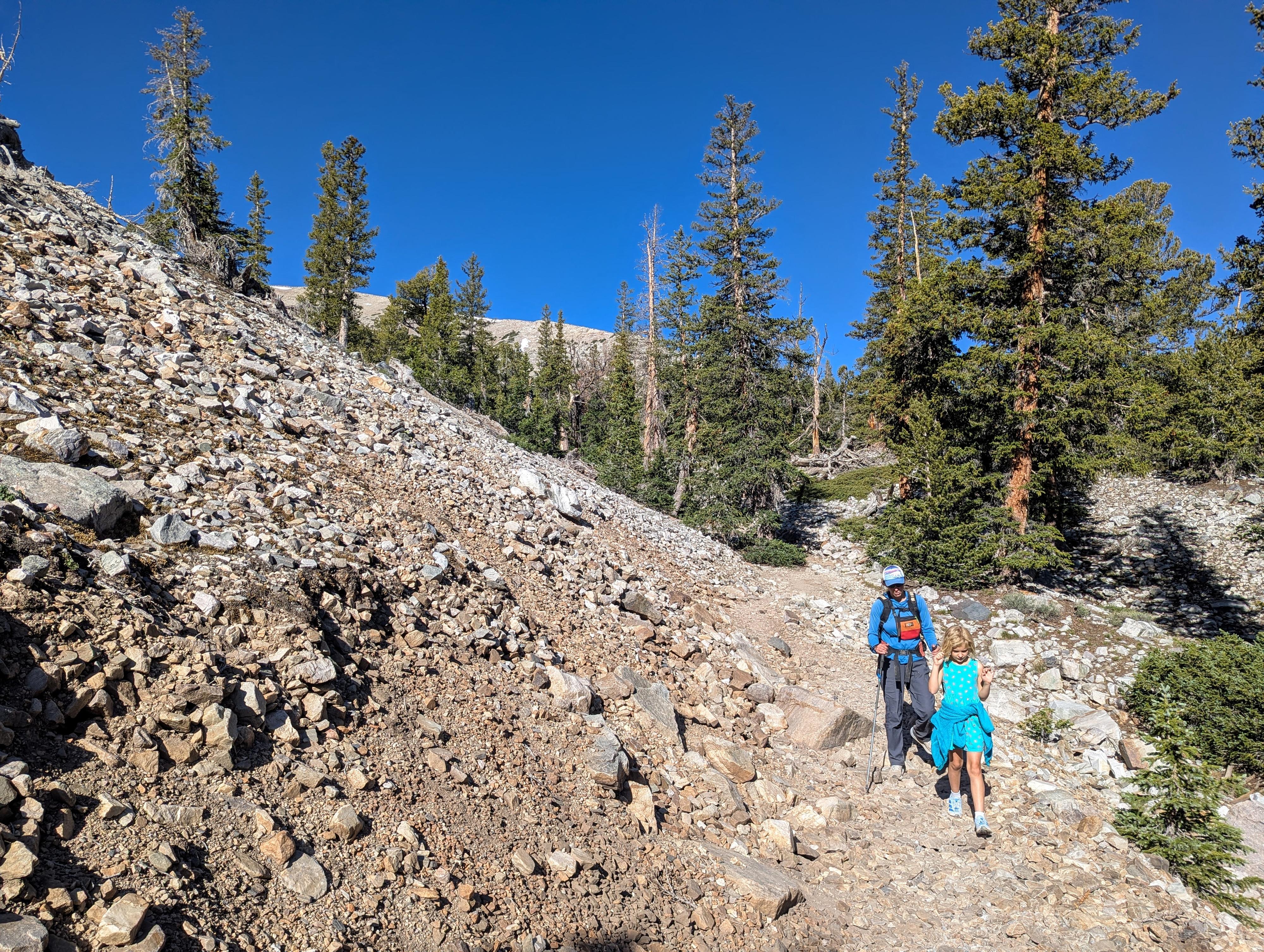
Starting from the Wheeler Peak Trailhead at nearly 10,000 feet in elevation, the Bristlecone Grove Trail leads into the neighborhood of the oldest living non-clonal organisms on Earth. The hike winds through subalpine forest before ascending to a high, rocky moraine where Great Basin bristlecone pines (Pinus longaeva) have survived extreme winds, freezing temperatures, and thin soil for over 4,000 years. Their gnarled and twisted trunks look more like wood sculptures than typical trees, thriving in conditions where few other species can endure.
The trail weaves through the heart of the grove, featuring interpretive plaques that explain the science behind their longevity and resilience. The actual Bristlecone Grove section of the trail is quite short, but I think it is not to be missed; I find the trees really fascinating.
Getting There
The trailhead is the Bristlecone Trailhead at the end of the Scenic Drive in Great Basin National Park. To get there, from downtown Baker, Nevada, head west on Lehman Cave Road (signed for Great Basin National Park) for about 4.8 miles, where you will turn right to follow the Scenic Drive up past the Lehman Creek campgrounds. This junction is right after entering Great Basin National Park.
Follow the scenic drive to its end in about 12 miles. Just before the Wheeler Peak Campground, there is a large parking area on the left that is the trailhead.
Route Description
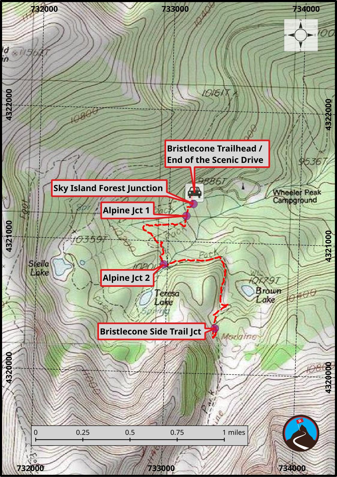
From the parking area, cross the scenic drive to the trailhead across the road. It has a large sign and is just before entering the campground.
Follow the trail just a few minutes to a junction. Left goes to the short Sky Forest ADA trail. Stay straight instead.
In just a few minutes more, the first Alpine Lakes trail junction is reached. Stay left here. About 3/4 of a mile from the trailhead, the second Alpine Lakes junction is reached; stay left again.
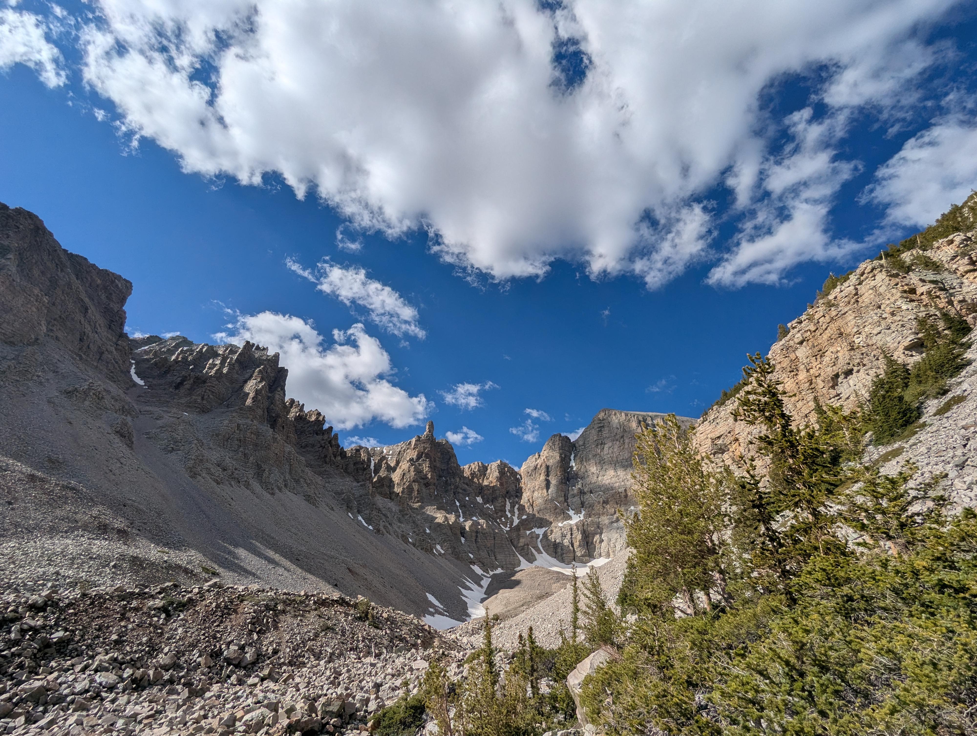
From here, the trail climbs and heads east before rounding a corner and heading south up into the valley that has the Bristlecone Grove and the glacier. The views are stunning as the trail turns up into this valley.
Keep on the trail; it has one switchback before ambling a bit farther to the Bristlecone Grove side trail on the left. The trail is short and meanders through the grove with informational signs. Where it re-joins the glacier trail, go right (downhill) to finish the loop and head back to the trailhead (or left to continue up to the glacier).
In August 1964, geography student Donald Currey was sampling bristlecone tree rings beneath Wheeler Peak to study Ice Age climate history. When his coring bit broke inside a massive tree known as WPN-114, the U.S. Forest Service granted him permission to cut it down to analyze a full cross-section.
Back in the lab, Currey made a devastating discovery: the tree, nicknamed Prometheus, had 4,862 annual rings. It was roughly 4,900 years old, making it the oldest known living thing on Earth. It had germinated around 2900 BCE, well before the construction of the Egyptian pyramids.
The tragic loss of Prometheus sparked nationwide outrage and transformed federal land conservation. Strict protections for bristlecone pines were enacted almost immediately, and the story galvanized the movement that eventually led Congress to establish Great Basin National Park in 1986.
Photos
Maps
11S 733190E 4321374N
39°00'37"N 114°18'25"W
11S 733185E 4321288N
39°00'34"N 114°18'25"W
11S 733134E 4321195N
39°00'31"N 114°18'27"W
11S 732972E 4320822N
39°00'20"N 114°18'34"W
11S 733376E 4320346N
39°00'04"N 114°18'18"W