
 Hiking
Lehman Creek Trail
Hiking
Lehman Creek Trail
Great Basin National Park
Overview

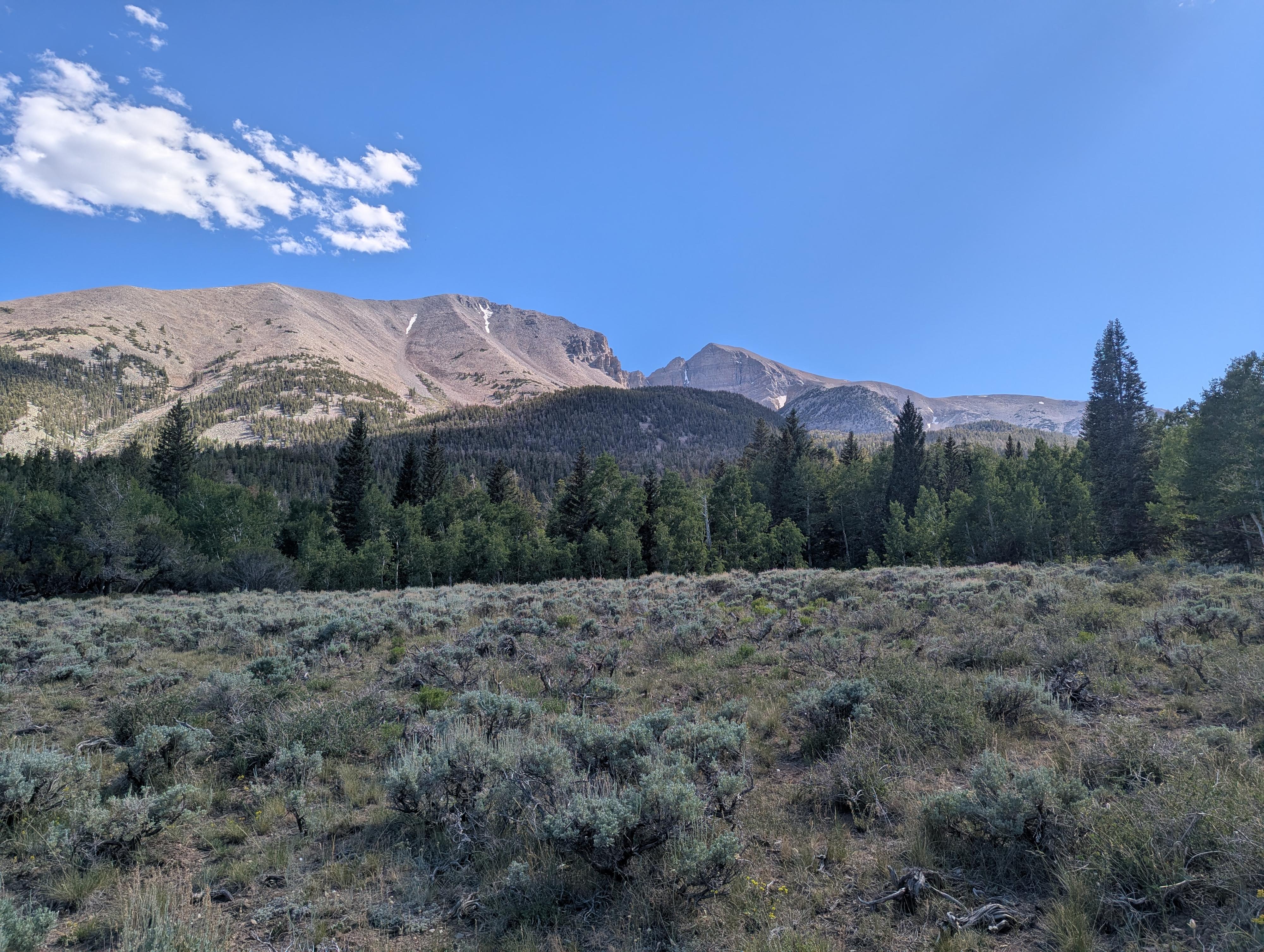
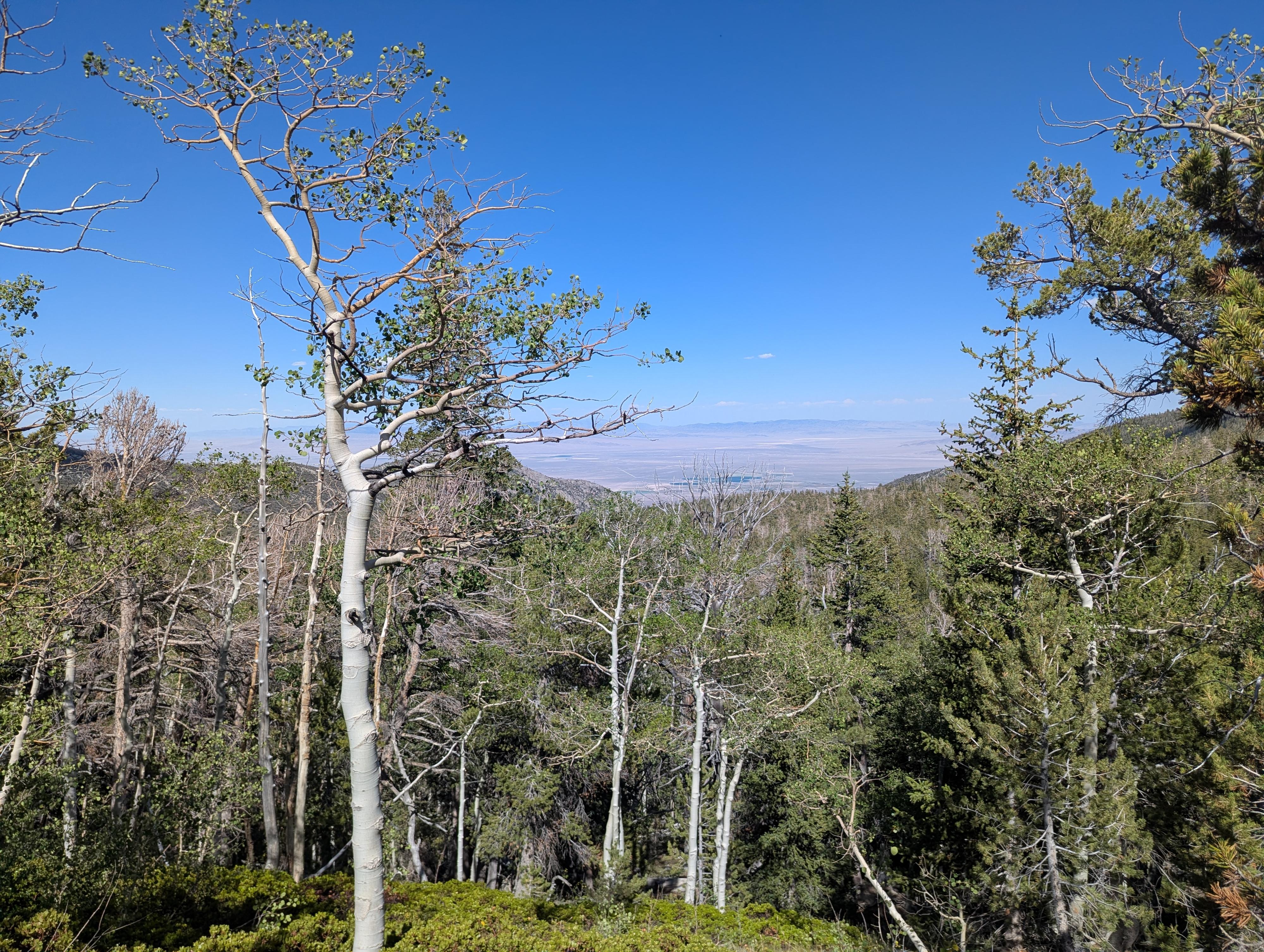
Connecting the Wheeler Peak Campground to the Upper Lehman Creek Campground, the Lehman Creek Trail has a little over 2,000 feet of elevation change between the two trailheads. The trail passes through dramatically changing ecosystems - moving from pinyon-juniper woodlands and lush riparian creek bottoms filled with water birch into dense stands of quaking aspens, Douglas firs, and subalpine pines.
Getting There
The trailhead is the Bristlecone Trailhead at the end of the Scenic Drive in Great Basin National Park. To get there, from downtown Baker, Nevada, head west on Lehman Cave Road (signed for Great Basin National Park) for about 4.8 miles, where you will turn right to follow the Scenic Drive up past the Lehman Creek campgrounds. This junction is right after entering Great Basin National Park.
Follow the scenic drive as it heads up.
Upper Lehman Campground Trailhead (recommended end)
The Upper Lehman Campground is about 2.4 miles up the scenic drive on the left, just before a hairpin turn. To spot a vehicle here, enter the campground and head toward the upper end of the campground. The trailhead is on the right with a small parking area and is signed.
Bristlecone Trailhead (recommended start)
From the Upper Lehman Campground, continue up the scenic drive for about 10 miles to its end at the Bristlecone Trailhead, just before the Wheeler Peak Campground.
Route Description
To The Trail
From the Bristlecone Trailhead, walk the campground road. It doesn't matter which way you go around the loop, but I went left. Follow the road to the low end of the main campground loop, where the trail leaves the campground road. It is signed and easy to find.
The Trail
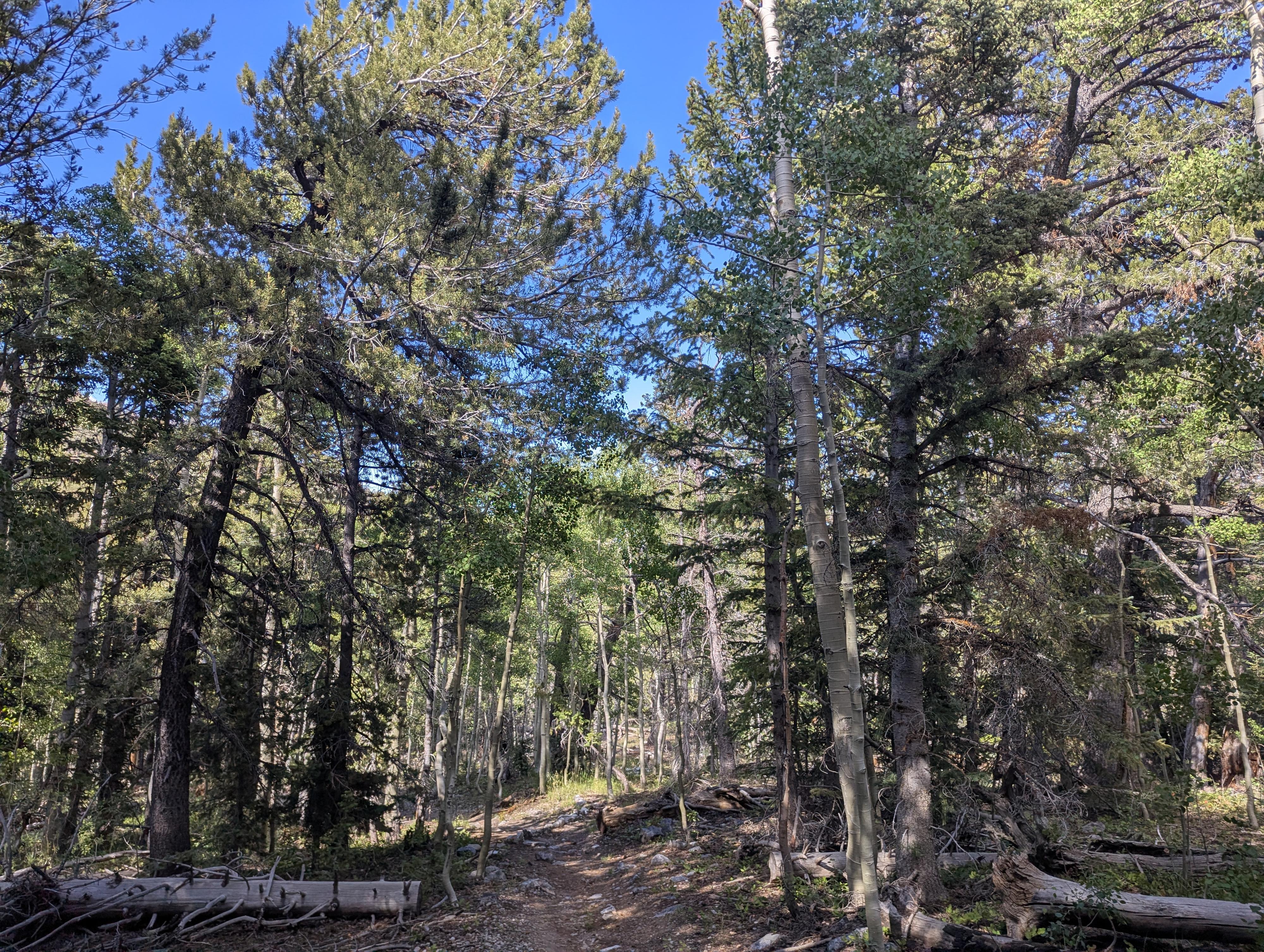
Once on the trail, follow as it winds down the hillside. Initially, it meanders down away from the stream in more open forest. The trees and terrain change as the trail descends in elevation through different climate zones.
About 2.7 miles from the campground, the Oceola Ditch is crossed. There is a junction here that is signed. Continue straight, heading down to the Upper Lehman Campground trailhead about 3.5 miles from Wheeler Peak.
Maps
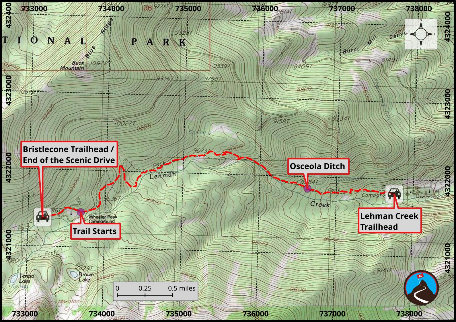
11S 733190E 4321374N
39°00'37"N 114°18'25"W
11S 733684E 4321450N
39°00'39"N 114°18'04"W
11S 736625E 4321845N
39°00'49"N 114°16'01"W
11S 737755E 4321808N
39°00'47"N 114°15'14"W