
 Hiking
Chriss and Deer Creek Lakes
Boulder Mountain
Overview


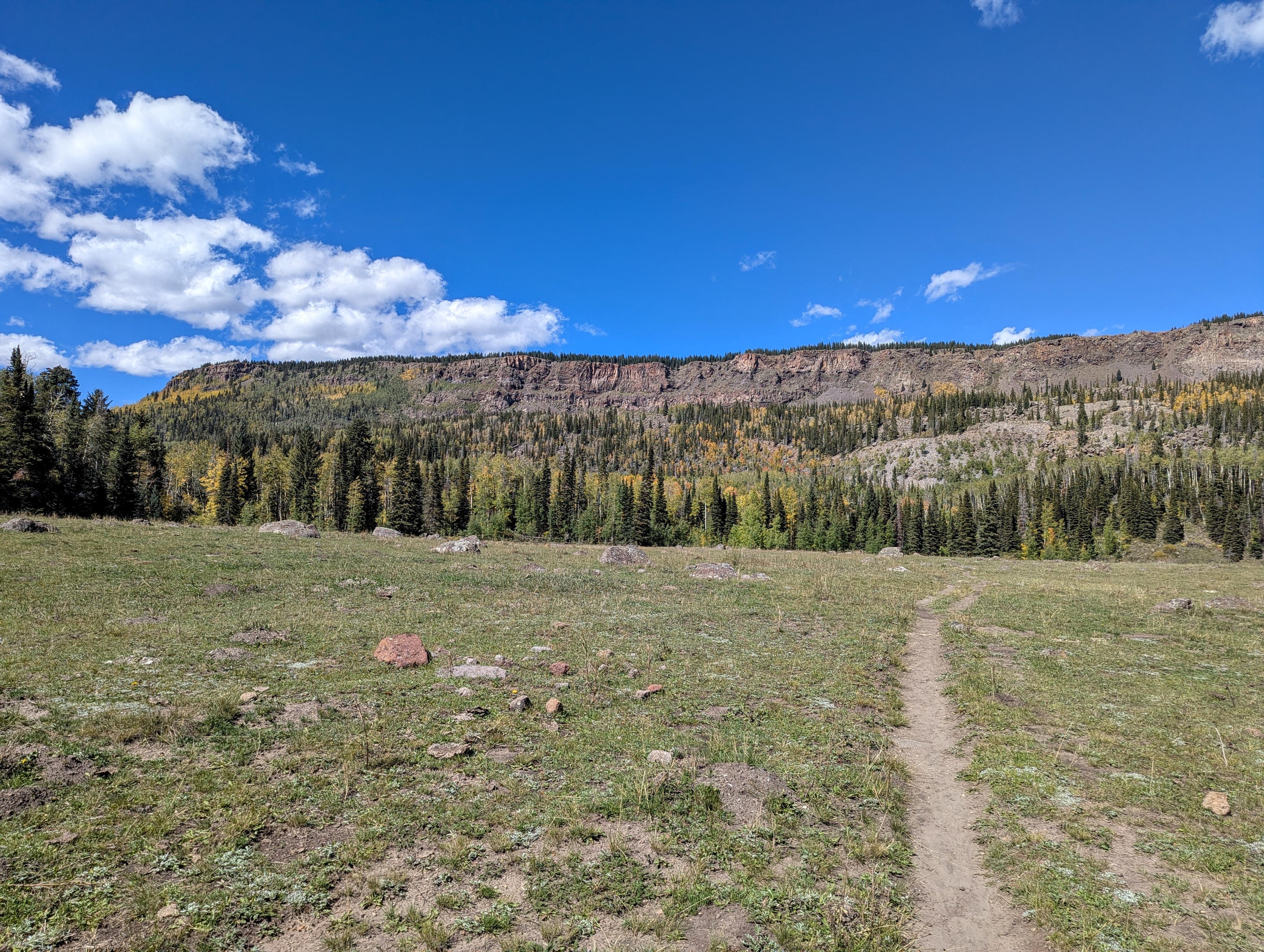
As Highway 12 snakes its way over Boulder Mountain, on the south side of the range are Deer Creek Lake and Chriss Lake. Each lake has its own trailhead just off Highway 12. This is a hike that, every time I would drive between Boulder and Torrey, I would think I should do someday. When I finally visited in the fall of 2026, I thoroughly enjoyed the hike.
Chriss Lake is the shorter hike of the two lakes, with an out-and-back distance of about 3.25 miles if just visiting the lake. To my eye, it is also less pretty, both as a hike and the lake itself.
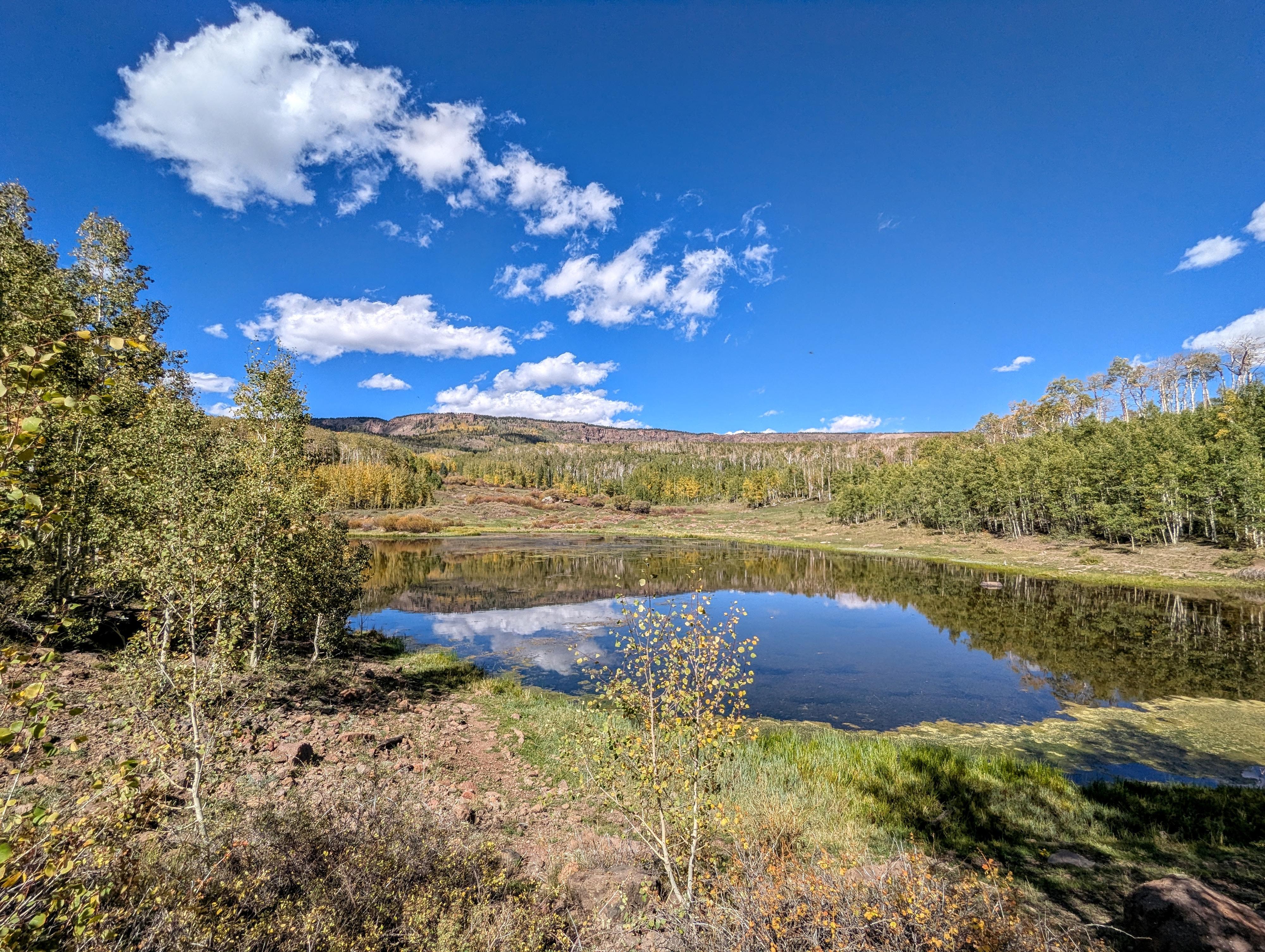
Deer Creek Lake is a bit higher in elevation, much bigger, and, to my eye, has a more beautiful hike to it. To visit Deer Creek Lake is about 5.7 miles roundtrip. If you only have time for one lake, Deer Creek is the one I would recommend.
If you have 2 cars or don't mind road walking/hitchhiking, visiting both from the Deer Creek Trailhead is a fantastic hike. That makes for about 6.5 or 7 miles of hiking with an additional 1.8 miles of shuttle or road walking.
Getting There
Both trailheads are off Highway 12.
Deer Creek Lake Trailhead: If coming from Torrey, Deer Lake is first about 26.2 miles from when you turn onto Highway 12 just outside Torrey. It is at about milepost 97. Turn off the highway and follow the dirt road about 0.5 mile to its end at the trailhead. Usually the dirt road requires medium clearance but can easily be walked if needed. If coming from Boulder, it is about 10 miles to the trailhead turn-off.
Chriss Lake Trailhead: The trailhead is about 1.3 miles south of the Deer Creek Lake Trailhead, at about milepost 95.7. The trailhead is just off the highway, accessible by all vehicles. There is a pit toilet at the trailhead.
Route Description
Chriss Lake From Chriss Lake Trailhead
Chriss Lake navigation is easy. From the Chriss Lake Trailhead, follow the well-used trail as it climbs and then meanders near West Deer Creek, the drainage that comes out of Chriss Lake. It is a beautiful stream. The trail reaches the lake in about 1.6 miles and 700 feet of elevation gain.
Deer Creek Lake (and full route to Chriss Lake)
My preferred route! From the Deer Creek Lake Trailhead, follow the trail as it heads north uphill. In about a mile a well-worn cow trail crossed the main trail, which caused me a brief pause. Be sure you go about 1.2 miles from the trailhead to a more prominent T-junction, not a 4-way. To the right you can see a fence and gate in the distance that is the 4-wheel drive trailhead. Go left at this junction.
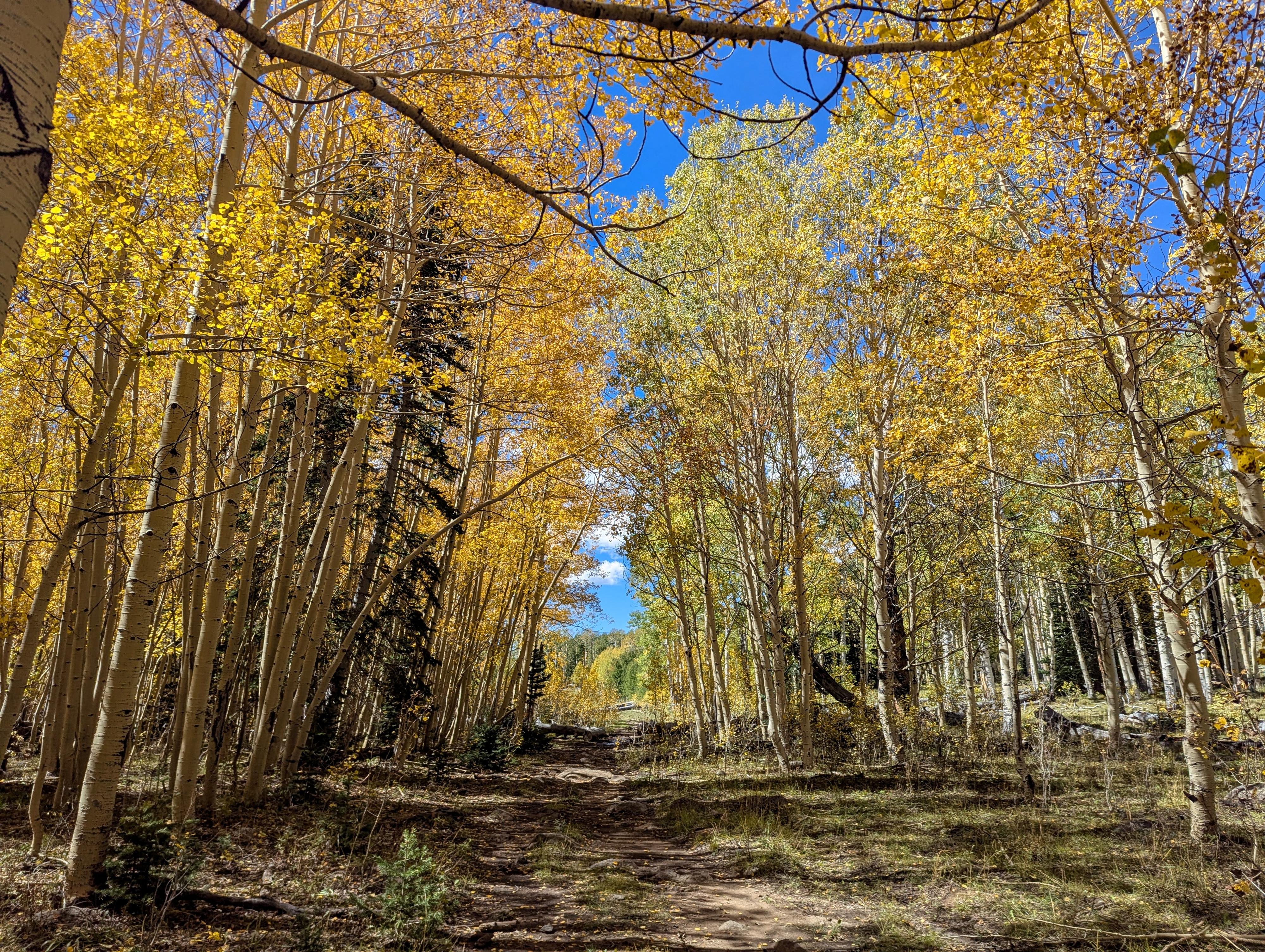
The big elevation gain is over, as the trail now meanders up and down west, then curves north. As it curves north in a wide clearing, on my visit, there were numerous cow trails. To the left here is the direction to Chriss Lake.
Deer Creek Lake
To visit Deer Creek Lake, stay on the trail to the right (that felt like the most used trail to me) that heads north to the edge of Deer Creek Lake. There is a big campsite near the lake in the trees here. Less defined social trails go along Deer Creek Lake as well as a short distance north to Green Lake.
To Chriss Lake From Deer Creek Lake Jct
From the edge of the clearing, go left to stay on the Great Western Trail and head west. Not far past the clearing is Gresham Spring. This well-marked spring, on my visit, was flowing strongly out of a pipe. Still treat any water you will be drinking, though, as cows are in the area.
About 1/2 mile from Gersham Spring, the trail reaches an open meadow and begins descending along the meadow, then crossing West Deer Creek. This section is idyllic and beautiful. Just a couple of minutes past the crossing of West Deer Creek is the trail junction to Chriss Lake. Head left here, as the trail descends to Chriss Lake in a little under 1/2 mile.
Chriss Lake is small with numerous cow trails. I think it is easiest to stay close to the shore on the west side until you reach its outlet.
To Chriss Lake Trailhead
From the outlet, it is easy to pick up the main trail that heads down to the Chriss Lake Trailhead, about 1.6 miles from the lake.
Maps
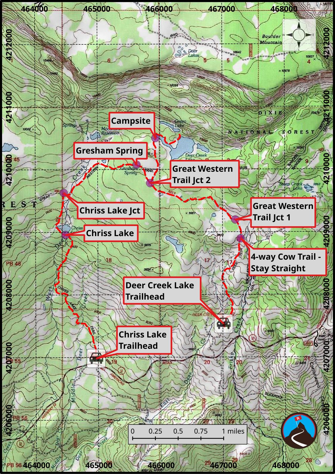
12S 467012E 4207530N
38°00'54"N 111°22'33"W
12S 467291E 4208894N
38°01'38"N 111°22'22"W
12S 467206E 4209194N
38°01'48"N 111°22'25"W
12S 465843E 4209781N
38°02'06"N 111°23'21"W
12S 465928E 4210500N
38°02'30"N 111°23'18"W
12S 465625E 4210075N
38°02'16"N 111°23'30"W
12S 464455E 4209629N
38°02'01"N 111°24'18"W
12S 464484E 4208958N
38°01'39"N 111°24'17"W
12S 464965E 4206982N
38°00'35"N 111°23'57"W