
 Rainbow Basin
Barstow
Overview
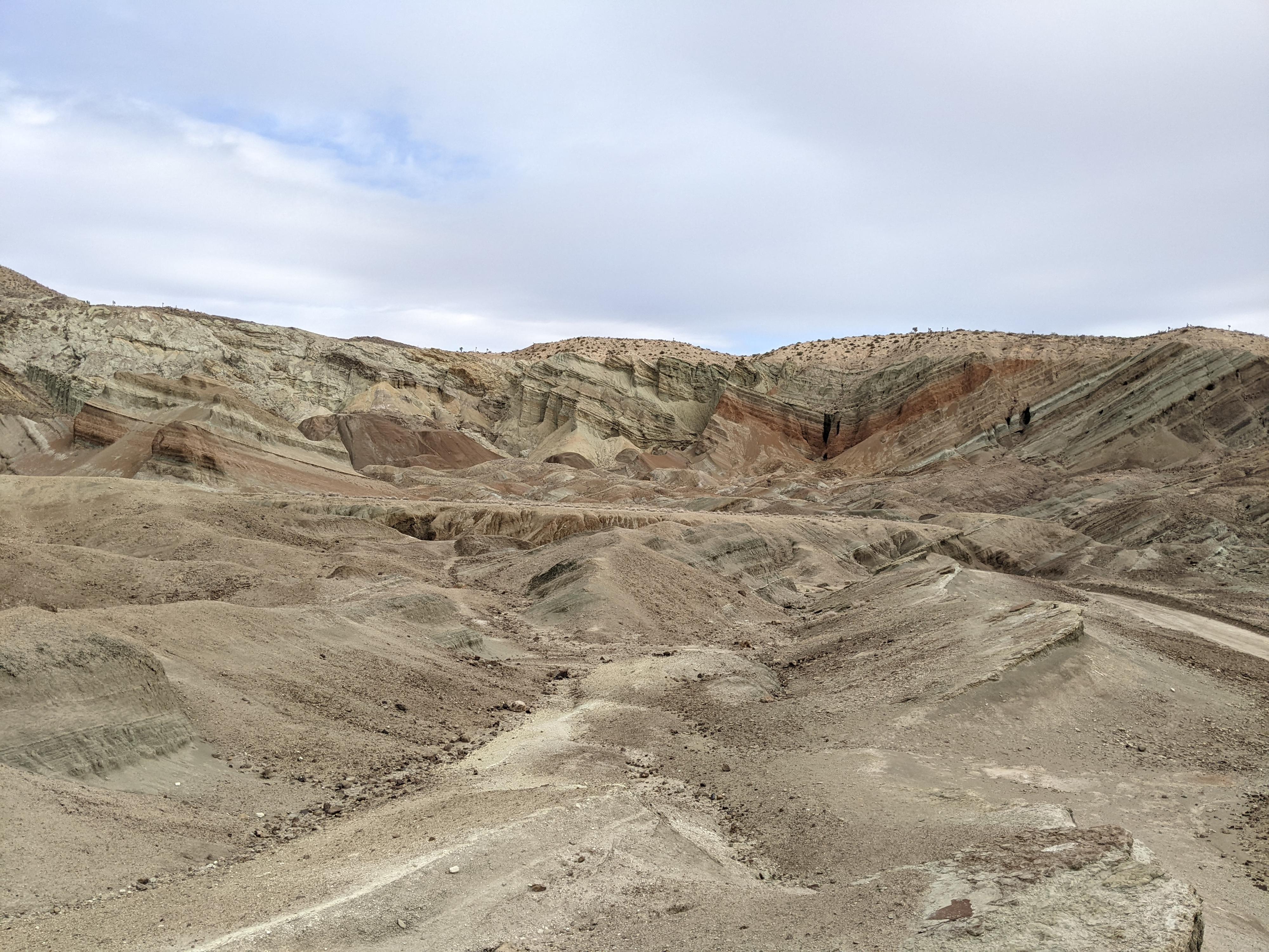
Rainbow Basin is a colorful, twisting basin of rock formations and dirt hills. The area is so unique it has been designated a National Natural Landmark. The geology of the area is interesting, but the basin is also well known for its large fossil beds from the Miocene era (12 to 16 million years ago). We visited while passing through the area hoping for a nice scenic drive. The drive is lovely but hiking in the basin turned out to be the highlight for us. The softer layers of rock erode quickly, making dramatic walls and sinuous canyons. From the parking area, it would be easy to wander for a few hours among the various side canyons and drainages. We spent a couple of hours visiting several side canyons, including one with a natural tunnel snaking its way through a soft layer.
Getting There
From Main Street in Barstow California, go north on 1st Ave. The road crosses above railroad tracks, then bends east before quickly turning north. Just after it turns north, go left on Irwin Road. Follow Irwin Road for 6.0 miles as it heads north out of Barstow. At 6.0 miles, turn left off the paved Irwin Road onto the signed, graded dirt road to Owl Canyon Campground.
2.9 miles down the dirt road, turn right toward Owl Canyon Campground. At 3.2 miles, is a junction. Right goes to Owl Canyon Campground. Straight is the start of the One Way scenic drive through Rainbow Basin.
Route Description
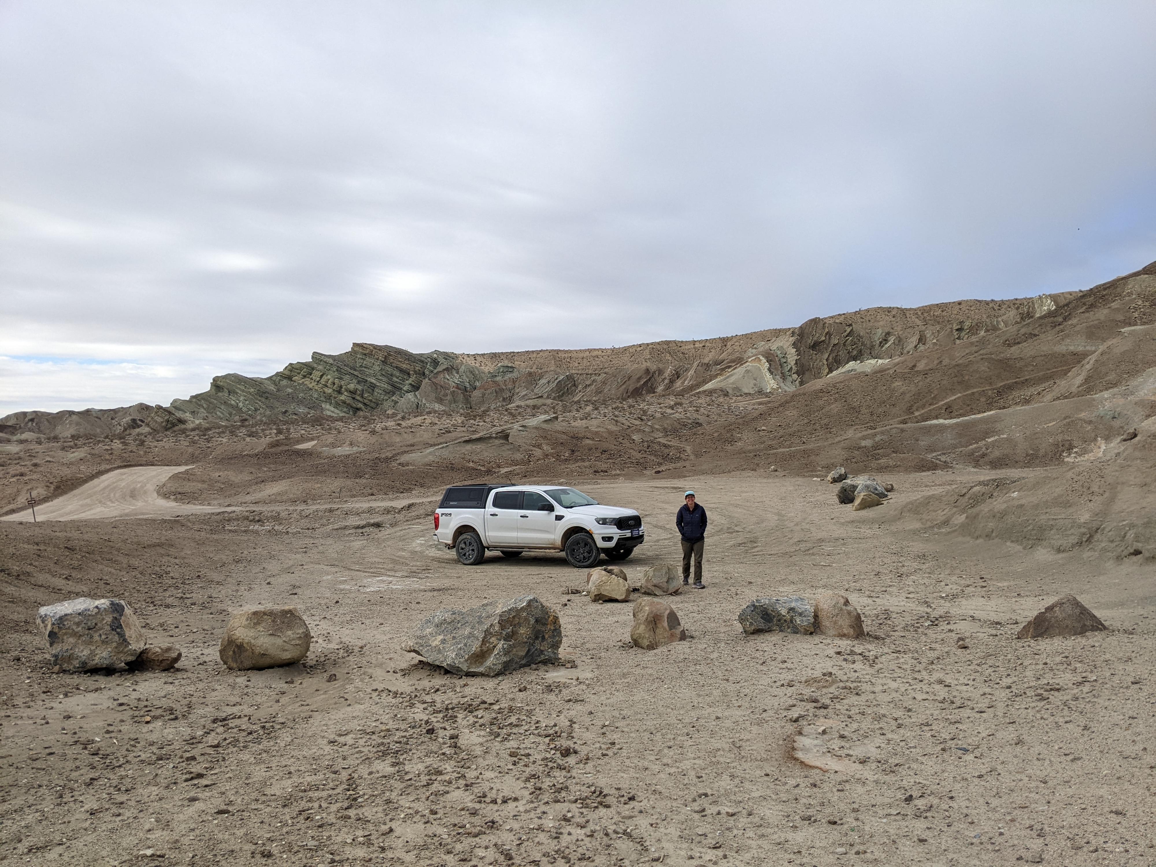
The scenic drive enters the grey hills and heads north before turning west in the heart of the basin. About 1.6 miles into the loop from the start of the One Way, there is a large pullout on the right. The parking area is the best spot to start wandering the basin from and has several social trails leaving it.
Hiking
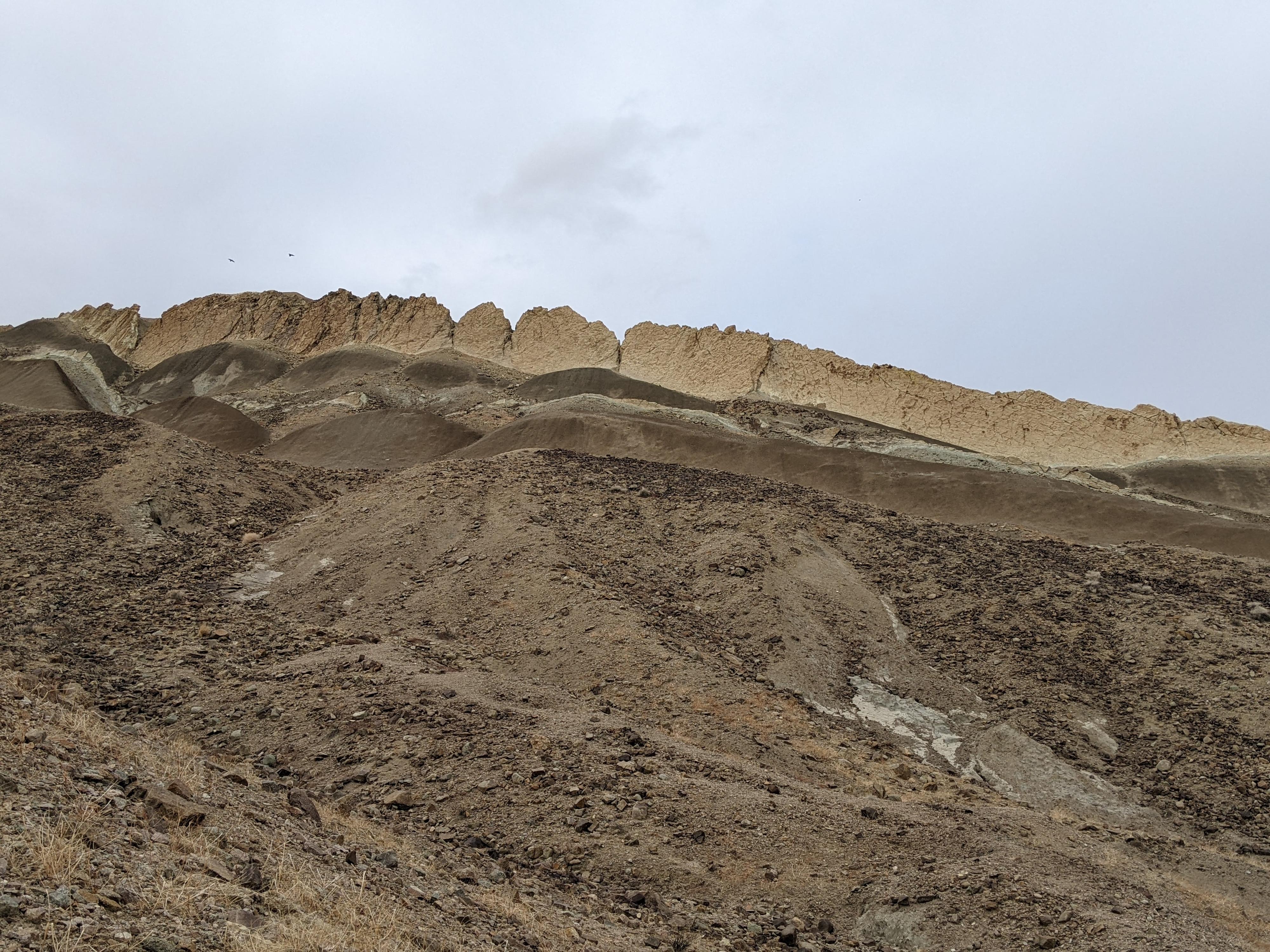
We headed north in the main wash and found the third side of this main wash on the left to be our favorite (shown on the map). The bottom end of this canyon has steep dirt walls. Just when it appears the canyon is going to end at a very steep dirt slope, a natural tunnel presents itself and provides a 2-stage passage through the dirt hills. Not far beyond the end of the tunnel, an impassable dryfall is reached.
Back in the main wash, following it up to its end is another impassable dryfall where the layers change and we thought it was a lovely colorful section to visit.
Scenic Drive
From the trailhead, the scenic drive continues through the basin, before exiting through a tight cut and wash. The road heads south and reaches a major junction. Go left here to circle back to the road you drove in on.
Maps


11S 496498E 3874453N
35°00'46"N 117°02'18"W
11S 496913E 3876494N
35°01'52"N 117°02'02"W
11S 497113E 3876980N
35°02'08"N 117°01'54"W
11S 497100E 3876888N
35°02'05"N 117°01'54"W
11S 497254E 3877029N
35°02'09"N 117°01'48"W
11S 495394E 3874577N
35°00'50"N 117°03'02"W