
 Floating
Shoshone Falls
Floating
Shoshone Falls
Twin Falls
Overview

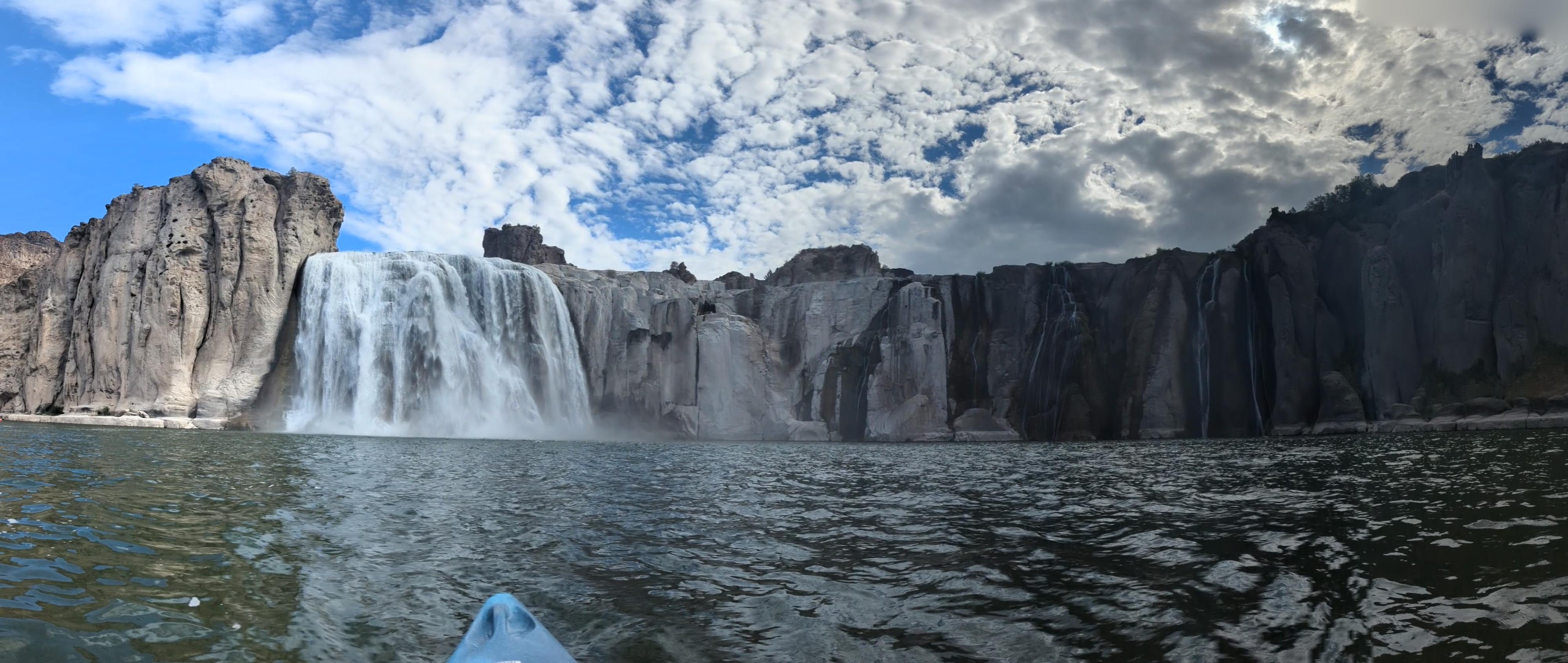
Kayaking to Shoshone Falls has been on my list to do for years. When I finally took the family, it turned out to be an amazing, unforgettable trip.
Shoshone Falls is known as the "Niagara of the West". The falls plunge 212 ft, taller than Niagara, over very dramatic basalt cliffs. The falls are very dramatic both from a distance and from up close.
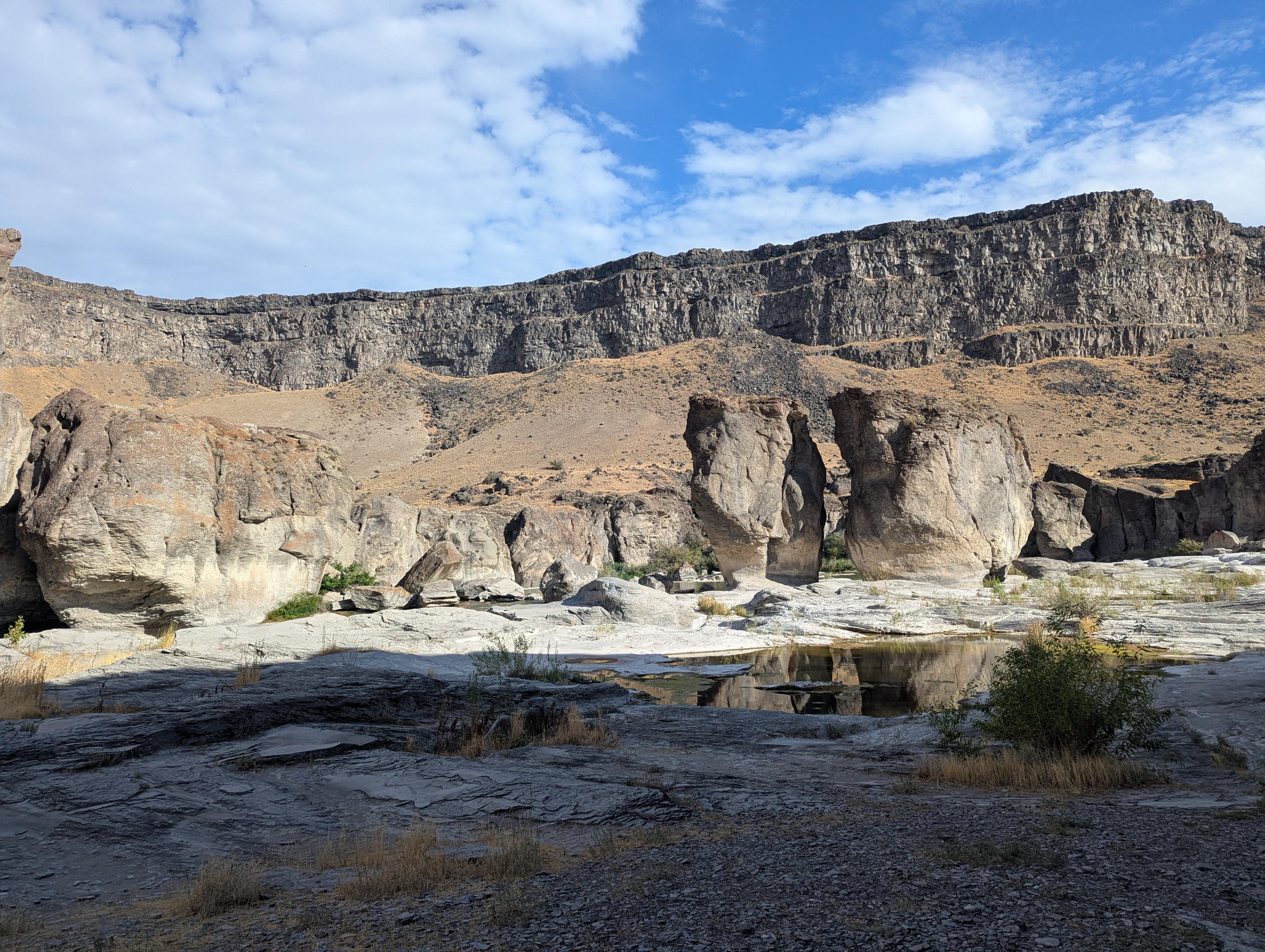
The paddle to reach the falls is about 4 miles one way. You paddle a couple of miles to Pillar Falls, where you then portage over Pillar Falls, then continue paddling another 2 miles to Shoshone Falls. Pillar Falls isn't dramatic from a waterfall's perspective to my eye but is very dramatic for the large pillars it is named after.
AWOL (https://awoladventuresports.com/kayak-tour) is a local company that offers rentals and also a tour where they motor you up to Pillar Falls, and then you paddle from Pillar Falls to Shoshone. Highly recommended if time, weather, or energy is limited. We chose that route and appreciated being able to spend more time at the falls and less time paddling up and back. That reduces the paddle from about 8 miles roundtrip to about 4.
Getting There
The put-in is at Centennial Waterfront Park. When coming into Twin Falls from US-93, cross the Perrine Bridge.
About 1/2 mile after the bridge, turn right onto Canyon Springs Road. This is on a bend, BEFORE US-93 turns due south.
Follow Canyon Springs road for about a mile. It heads north, then west and then descends down ito the canyon. At about the bottom of the canyon, turn right into the signed Centennial Waterfront Park and continue into the park to a large parking area and the boat ramps.
Route Description
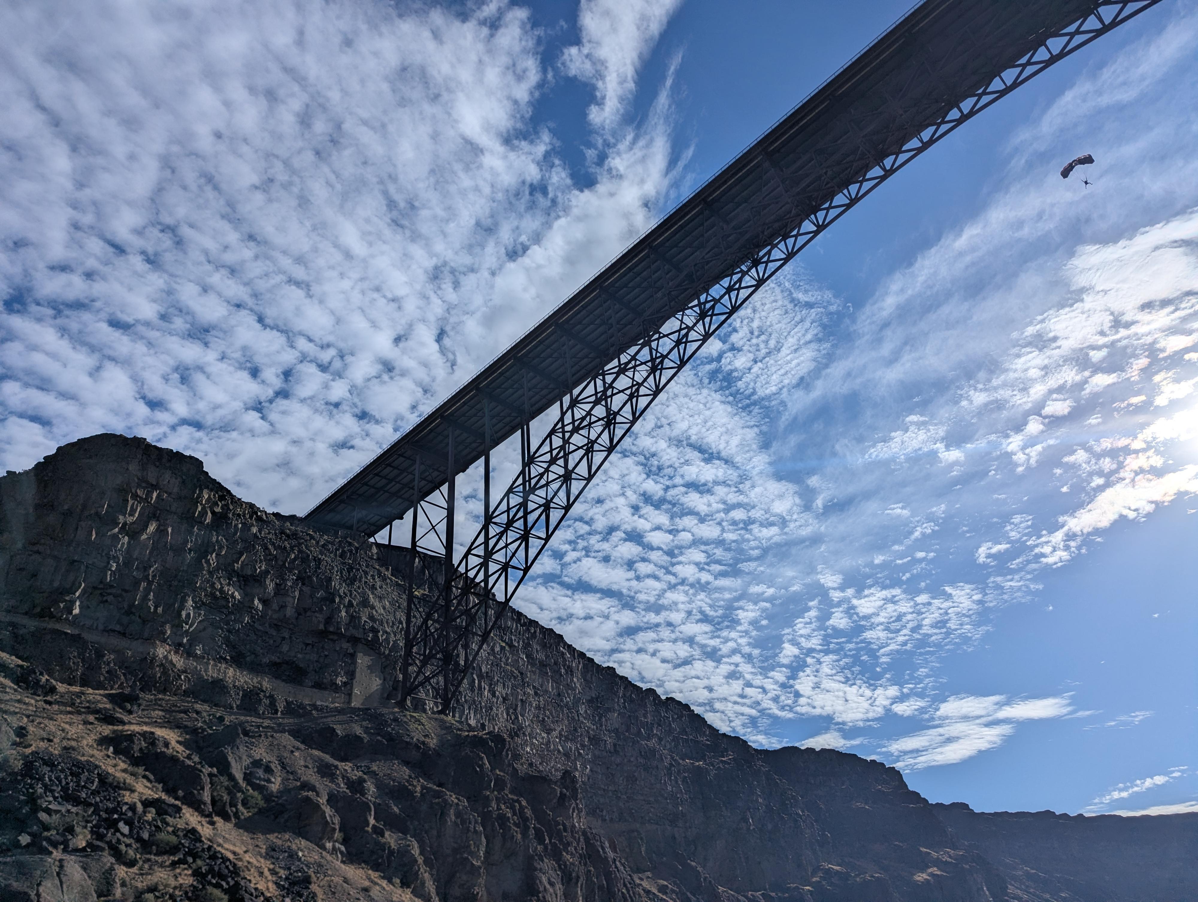
From Centennial Waterfront Park, simply head upstream. In just under a mile, you will go under Perrine Bridge. It is impressive. At about 2.1 miles you reach Pillar Falls. At Pillar Falls, head to the right (south) side, where there is a small cove and a few easy spots to get out for the portage across the falls.
Once portaged across the falls, there is an easy spot to re-enter the water on the right (south) side where a small notch in the rocks makes a ramp down to the water (during low water).
It is an additional 1.8 miles to the base of Shoshone Falls from the top of Pillar Falls. This section in particular, on our visit, was filled with blue herons and other birds. There are also many small waterfalls on the south side between Pillar Falls and Shoshone Falls.
Return the same way.
Photos
Maps
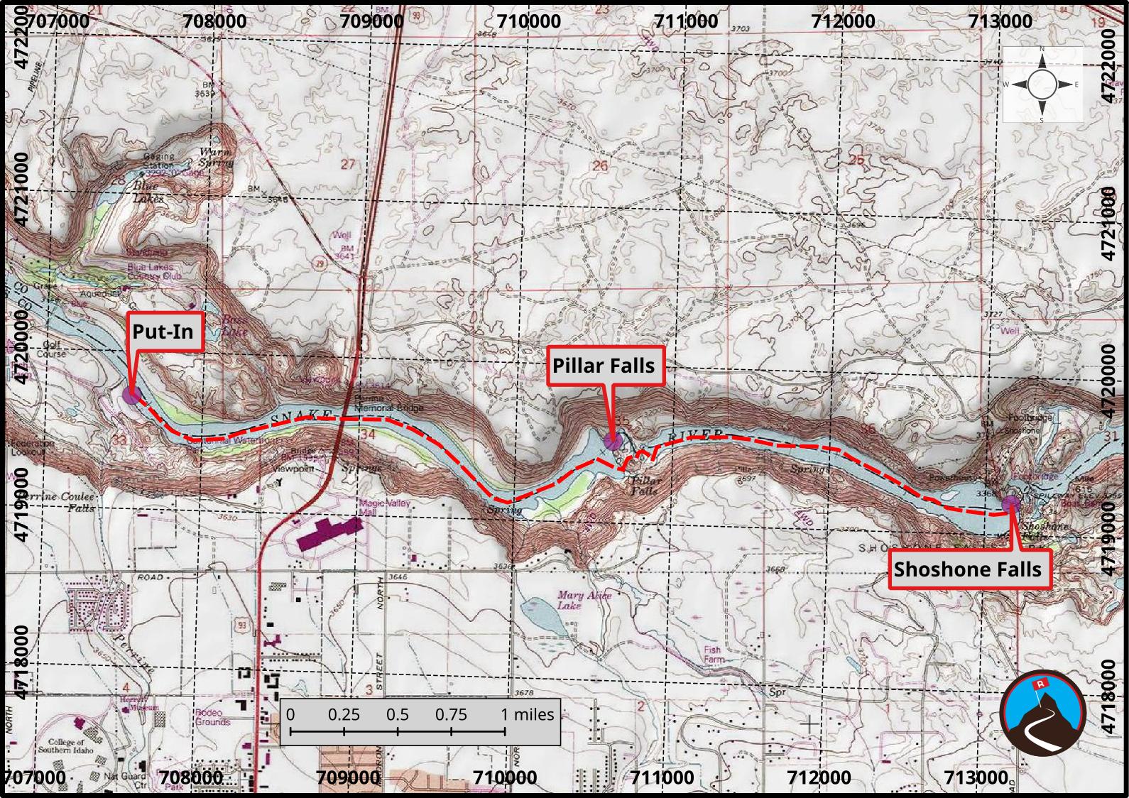
11T 707547E 4719719N
42°36'07"N 114°28'12"W
11T 710621E 4719519N
42°35'58"N 114°25'58"W
11T 713167E 4719193N
42°35'45"N 114°24'06"W