 Roadside Attraction Starr Ranch
Southern Henry Mountains
Overview
|
Sun 38 | 24 |
Mon 42 | 28 |
Tue 48 | 32 |
Wed 55 | 38 |
Thu 53 | 38 |
| View Full Weather Details | ||||
|
Sun 38 | 24 |
Mon 42 | 28 |
Tue 48 | 32 |
Wed 55 | 38 |
Thu 53 | 38 |
| View Full Weather Details | ||||
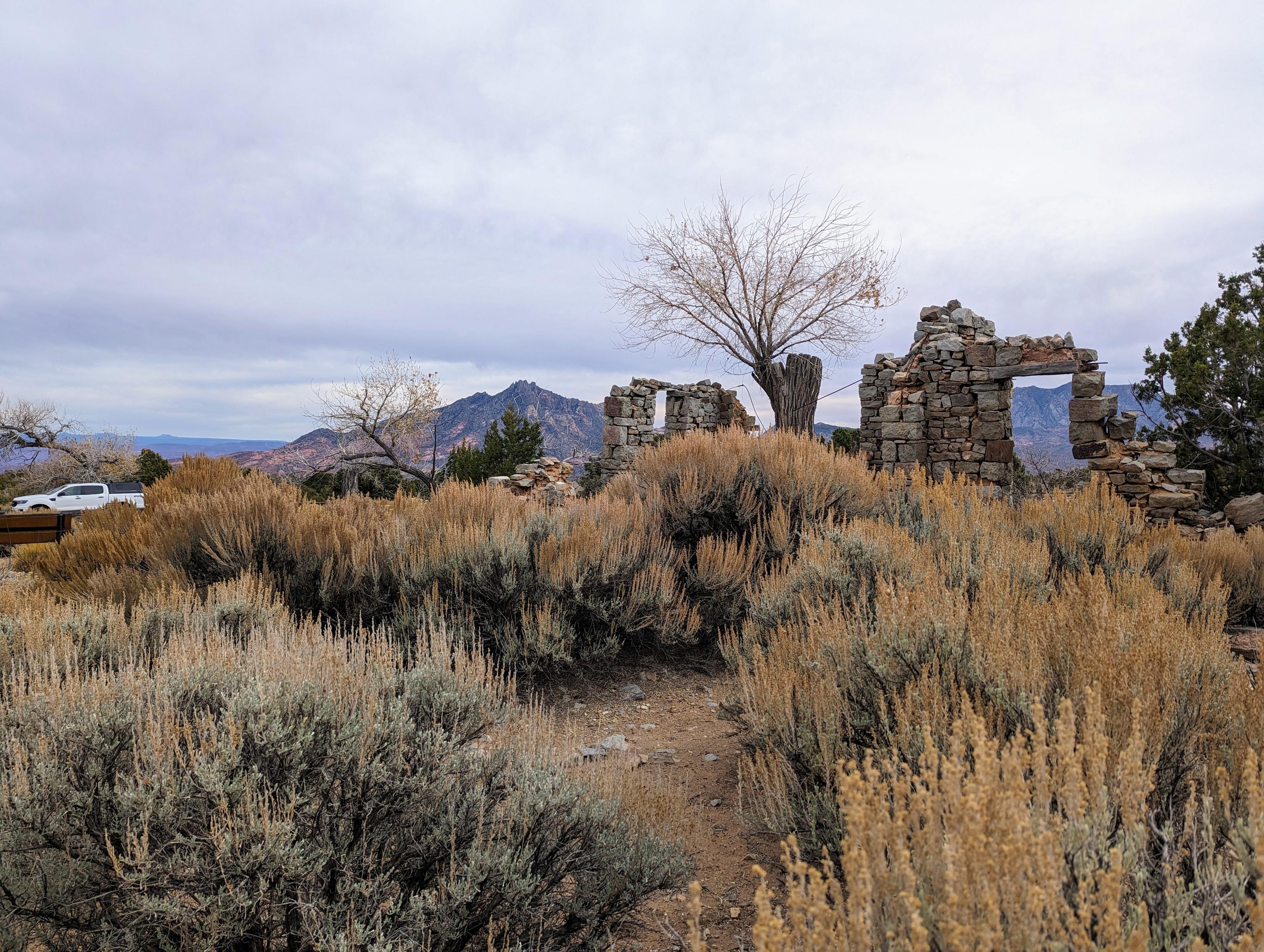
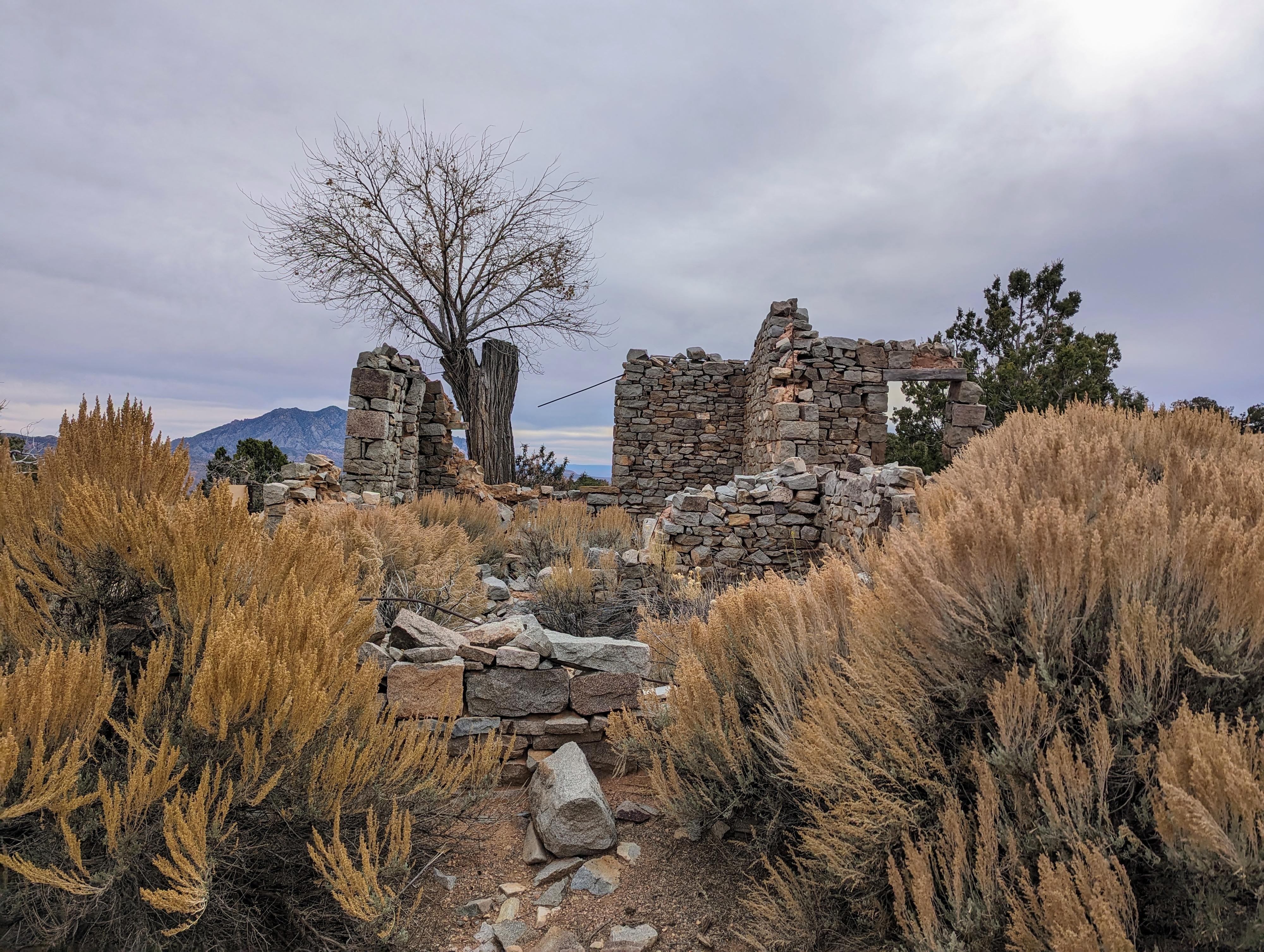
Broken dreams and half finished buildings, Starr Ranch is an interesting place to visit. Al Starr, seeking a spot to base his mining and horse operations out of, chose this site in the 1880s. Al was a bit ahead of the mining boom in the area, as other mines, including the uranium mines around Farmers Knob to the north and Del Monte to the south, didn't start until about a decade later. He hired a stonemason to build a house and cellar at the ranch, near the current day Starr Spring Campground. The mason did exceptional work, at least to my eye, but the buildings were never finished. Locoweed killed most of Al's horses, and his mine on Mt. Hillers never produced commercial ore.
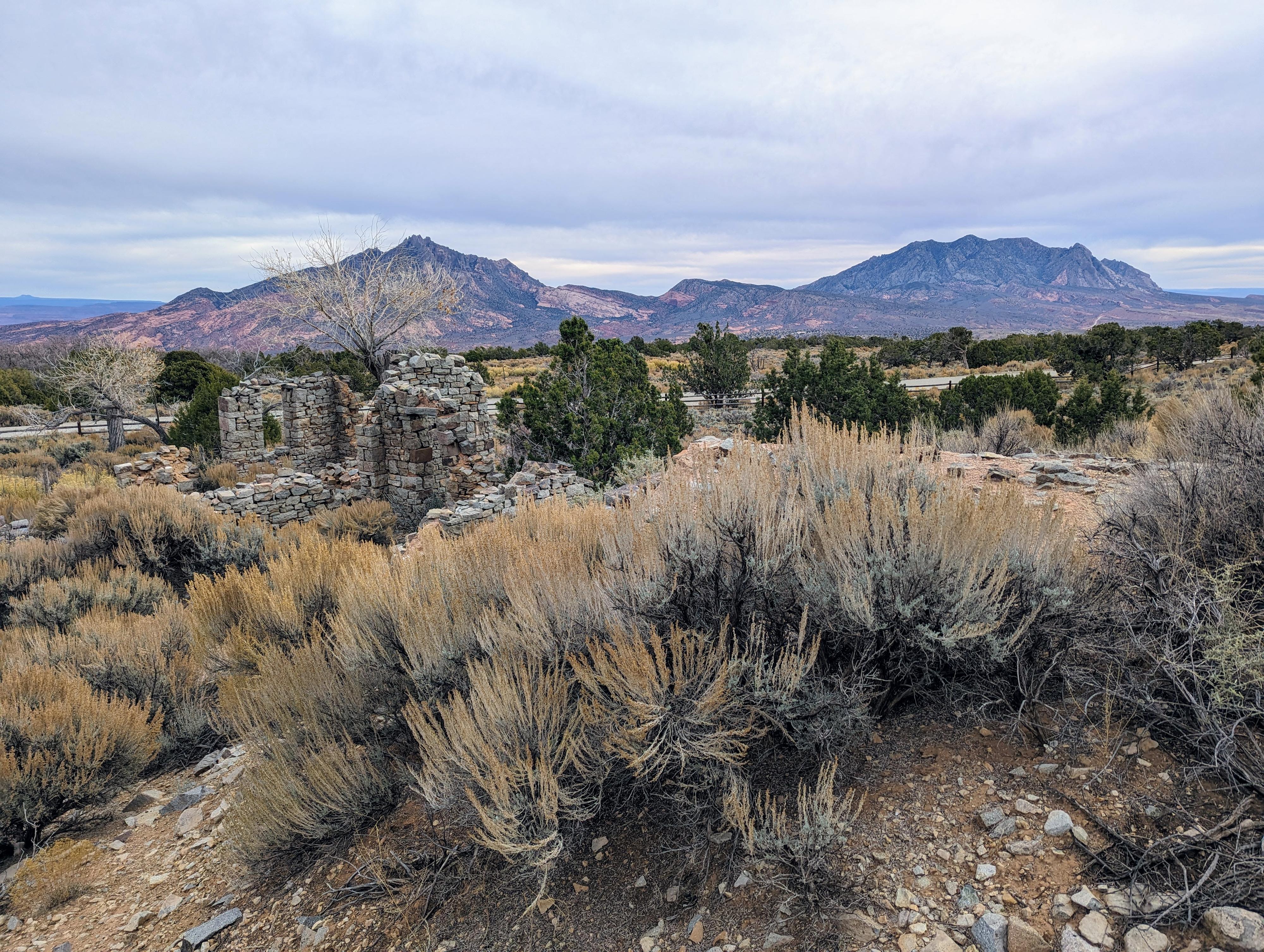
The project was abandoned and left to the ravages of time. Today, there are a few walls standing, albeit they look like a stiff breeze could knock some of them down. There is also a fascinating root cellar. The BLM has fenced off the site due to wall collapse risk, but even from the fence, it is an interesting view.
Getting There
From Hanksville, head south on UT-95 for about 27 miles to the junction of UT-95 and UT-276. Go right on UT-276 toward Bullfrog/Ticaboo for 17.1 miles to a signed dirt road on the right that heads up into the Henry Mountains. The road is signed for Starr Spring.
Follow the good dirt road for 3.3 miles to a major junction. Go right here, reaching the old Starr Ranch in less than 1/4 of a mile. The ranch house is on the left. The Starr Springs Campground is about 1/2 a mile beyond.
Route
From the road, the old ranch house is easily visible, and a short trail goes to the fence. To the west is Mt Hillers. The two peaks to the east are the Little Rockies, Mt Holmes on the north side, Mt Ellsworth on the south. Parts of the Bears Ears/Cedar Mesa are visible far off in the distance to the east. Al picked a spot for his ranch house with some nice views!
| Jct - 3.3 miles from UT-276 |
12S 529906E 4188713N 37°50'43"N 110°39'36"W |
| Starr Ranch |
12S 529928E 4188872N 37°50'49"N 110°39'35"W |
| Starr Springs Campground |
12S 529688E 4189207N 37°50'59"N 110°39'45"W |


