
 Upper Ivie Creek Panel
Central Utah
Overview
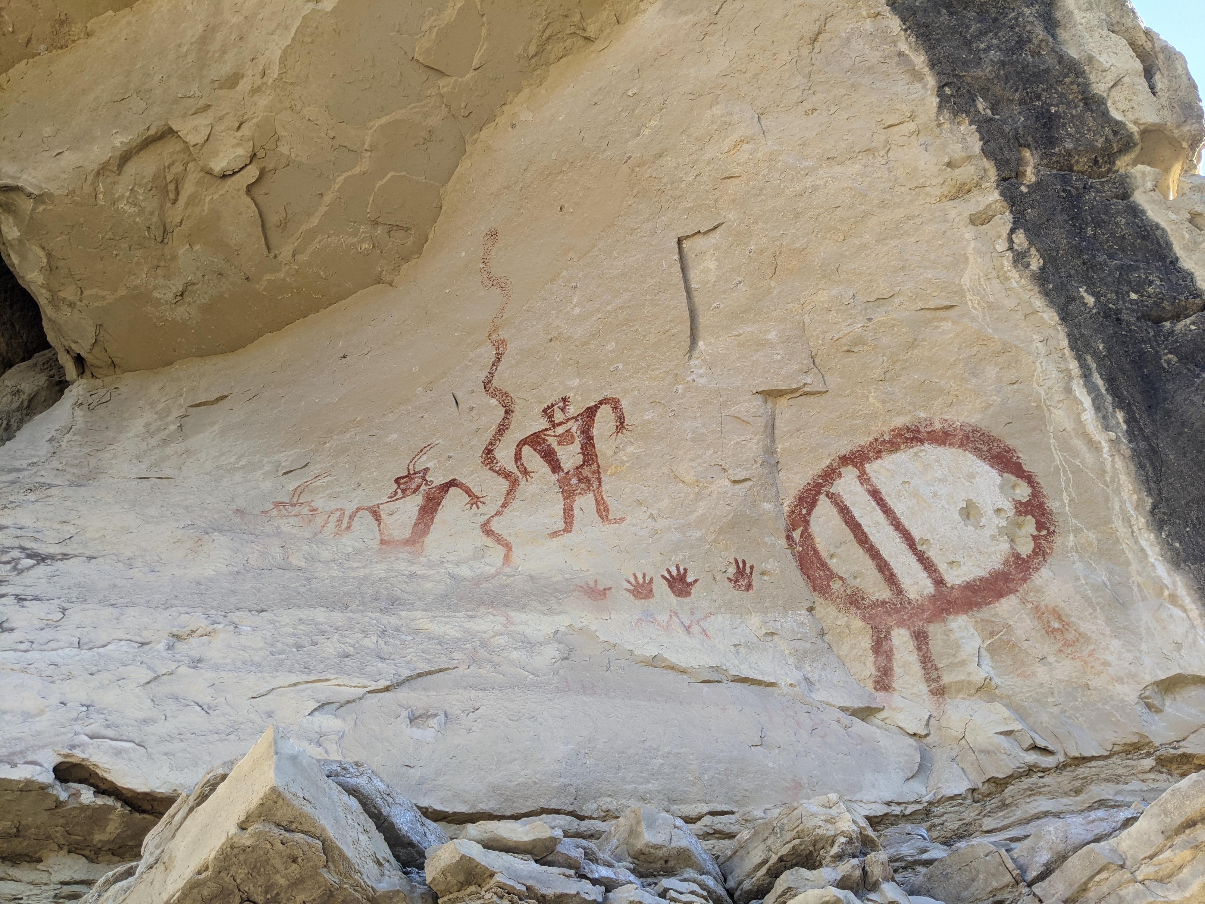
The pictograph in upper Ivie Creek is passed by hundreds or thousands of people a day, but I would bet an exceedingly small percentage even notice the panel. The Fremont style panel is easily visible from I-70, and its red color stands out prominently even from a distance. A locked gate and no trespassing sign had deterred me from visiting until checking into it and finding the panel is in fact on public lands. The private property is a bit farther up the road.
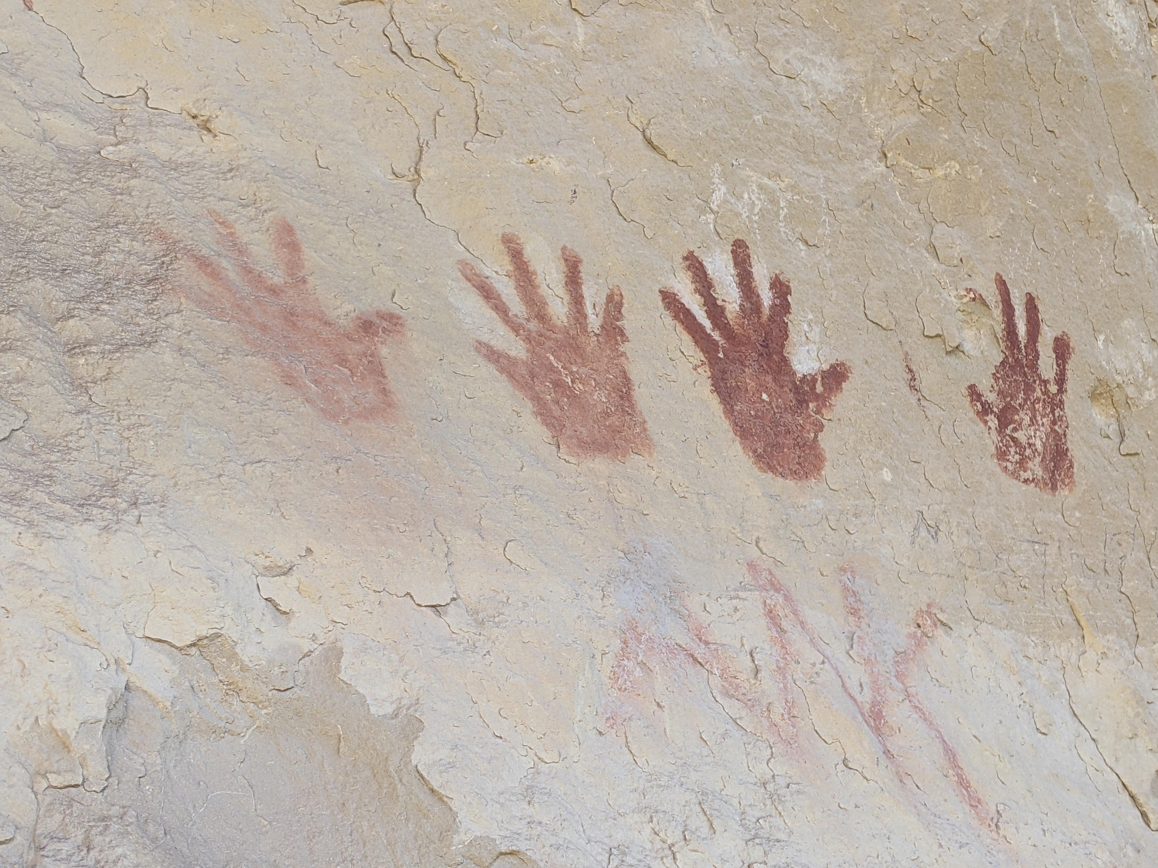
This is one of my favorite panels I have seen in central Utah. The vibrant colors, sharp lines, and extreme detail are astounding. At the bottom of the panel are two sets of handprints that I wonder if were done by the artists to sign their work. Time and the elements have eroded a bit of the panel, but much of it looks as though it could have been recently painted. The fact that it is such an isolated set of figures really makes it stand out against the surroundings.
The panel has a long history with modern people as well. In 1855, the panel was sketched by a member of the party heading to Moab to establish the Elk Mountain Mission. South of the panel, where Clear Creek comes in from the south, was a popular stopping place for travelers on the Old Spanish trail. Many groups camped at this confluence, both Native American and Europeans over the millennia. Several members of the Elk Mountain Mission group hiked up to the panel and inscribed their names to the west of the panel. The names are quite faded, but still somewhat visible today. As a side note, the Elk Mountain Mission was established in June of 1855 near present day Moab, but friction with native peoples caused its abandonment in September of that same year.
Full Details
To help keep the riff-raff out, and encourage participation, you must login to see the details.
Login For Full DetailsRegistration is free and easy.