Fremont River |

Capitol Reef

Hiking Fremont River - Capitol Reef Hiking Fremont River

Capitol Reef

Overview

RATING: Easy/Moderate Hike
MAPS: Fruita, UT; Twin Rocks, UT

Sat

A slight chance of rain showers after noon. Partly sunny, with a high near 58. South wind 7 to 20 mph, with gusts as high as 33 mph. Chance of precipitation is 20%.

58 | 39

Sun

A chance of rain and snow showers. Partly sunny, with a high near 52. Chance of precipitation is 30%.

52 | 37

Mon

Partly sunny, with a high near 53.

53 | 32

Tue

Sunny, with a high near 60.

60 | 34

Wed

Sunny, with a high near 67.

67 | 38

View Full Weather Details
SEASON: Any, hot in summer
WATER: None, bring all you need.

Sat

A slight chance of rain showers after noon. Partly sunny, with a high near 58. South wind 7 to 20 mph, with gusts as high as 33 mph. Chance of precipitation is 20%.

58 | 39

Sun

A chance of rain and snow showers. Partly sunny, with a high near 52. Chance of precipitation is 30%.

52 | 37

Mon

Partly sunny, with a high near 53.

53 | 32

Tue

Sunny, with a high near 60.

60 | 34

Wed

Sunny, with a high near 67.

67 | 38

View Full Weather Details
Views toward the Fremont river

Views toward the Fremont river

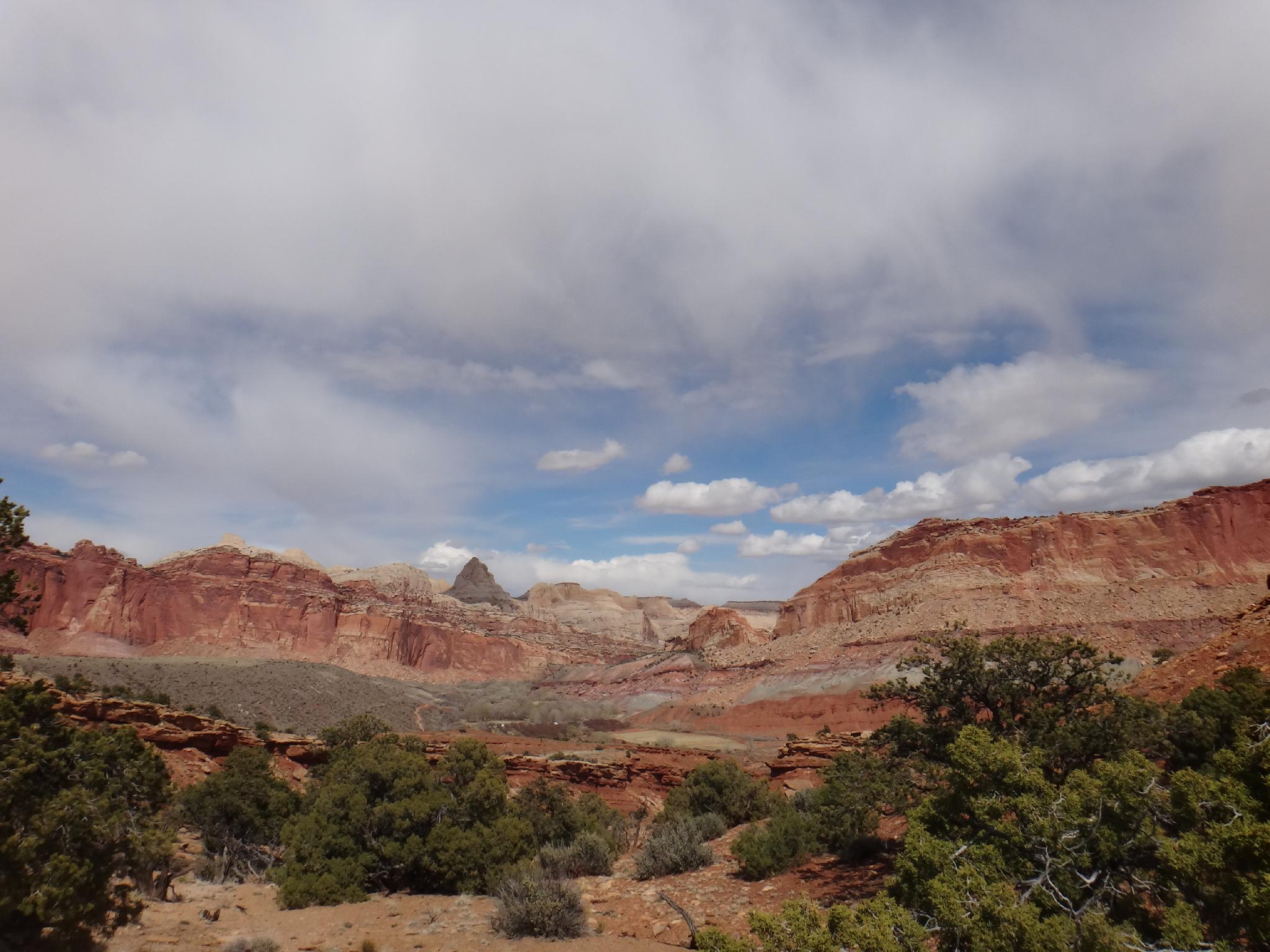
A casual jaunt up from the campground ends with big views of the Fruita area and Waterpocket Fold. Though similar views, this is a hike I would highly recommend over The Old Wagon Road. It offers great views, especially in evening lighting as the sun is setting on the Waterpocket Fold. You are very likely to see deer and other wildlife during the first part of this hike.

Deer in the orchard

Deer in the orchard

Big views along the trail

Big views along the trail

Getting There

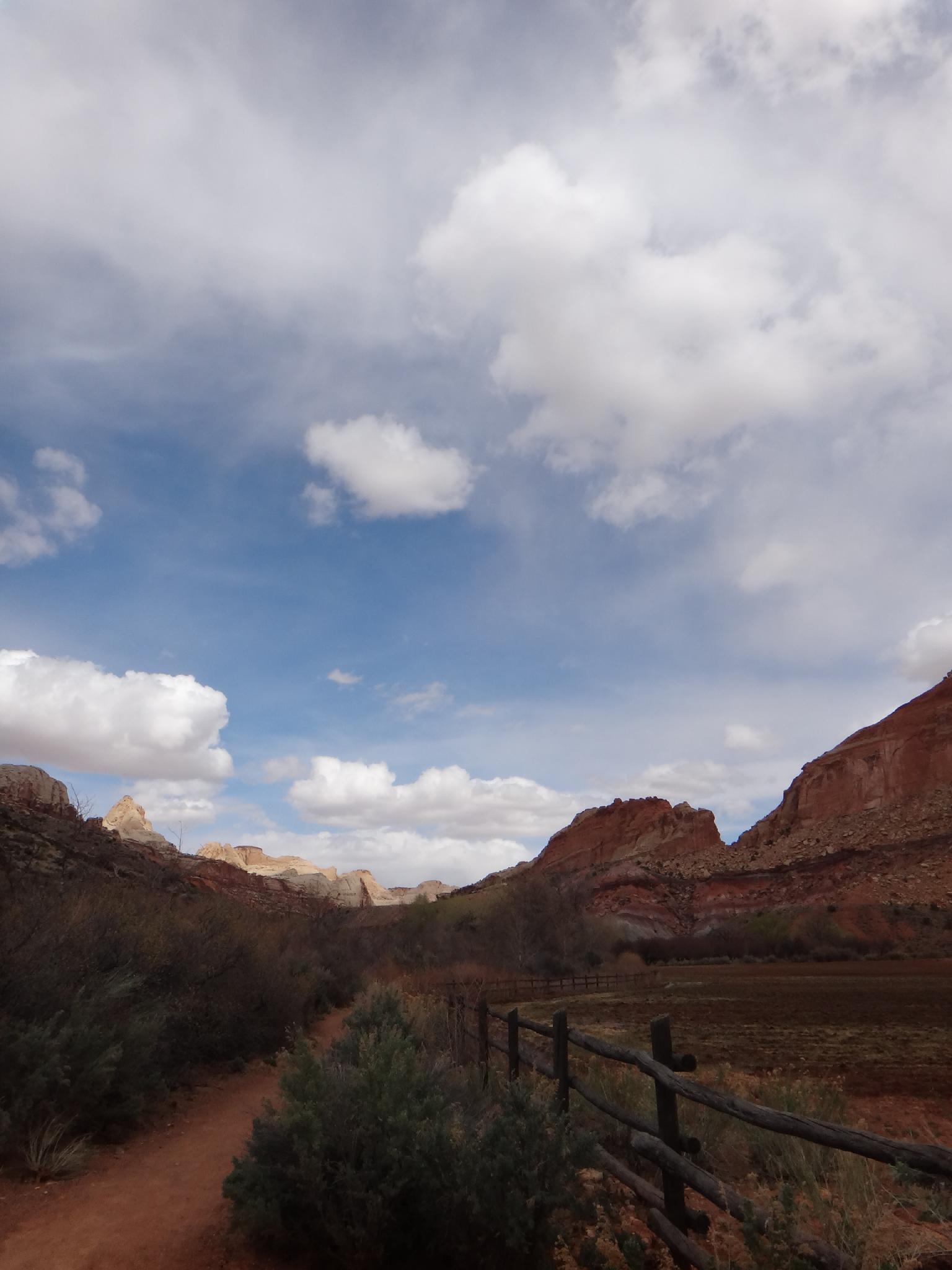
From the Capitol Reef Visitor Center, follow the Scenic Byway. At about 1.3 miles is the campground on the right. Follow the signs to the amphitheater parking lot.

Fremont Gorge

Fremont Gorge

The orchard in bloom

The orchard in bloom

Route

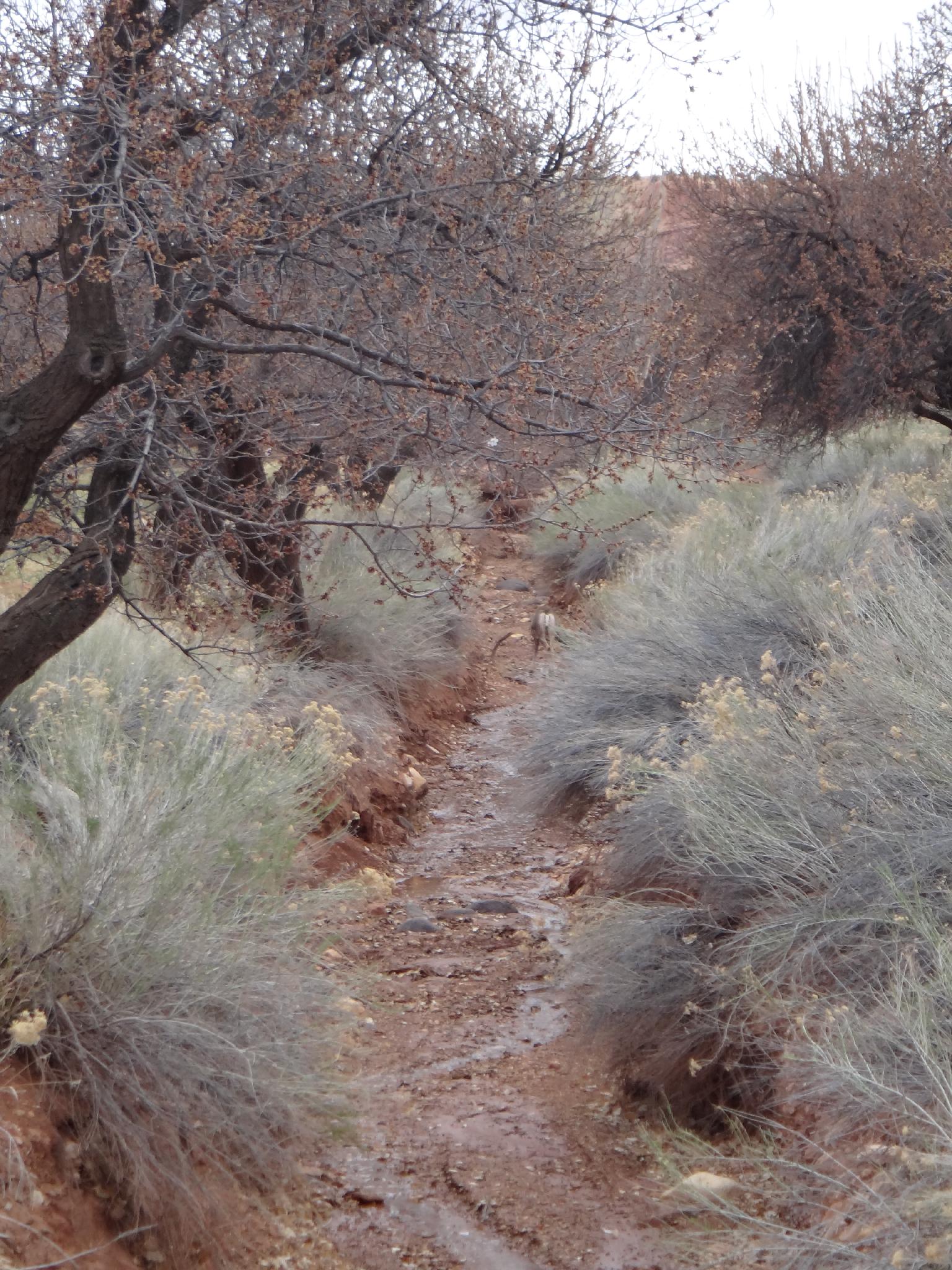
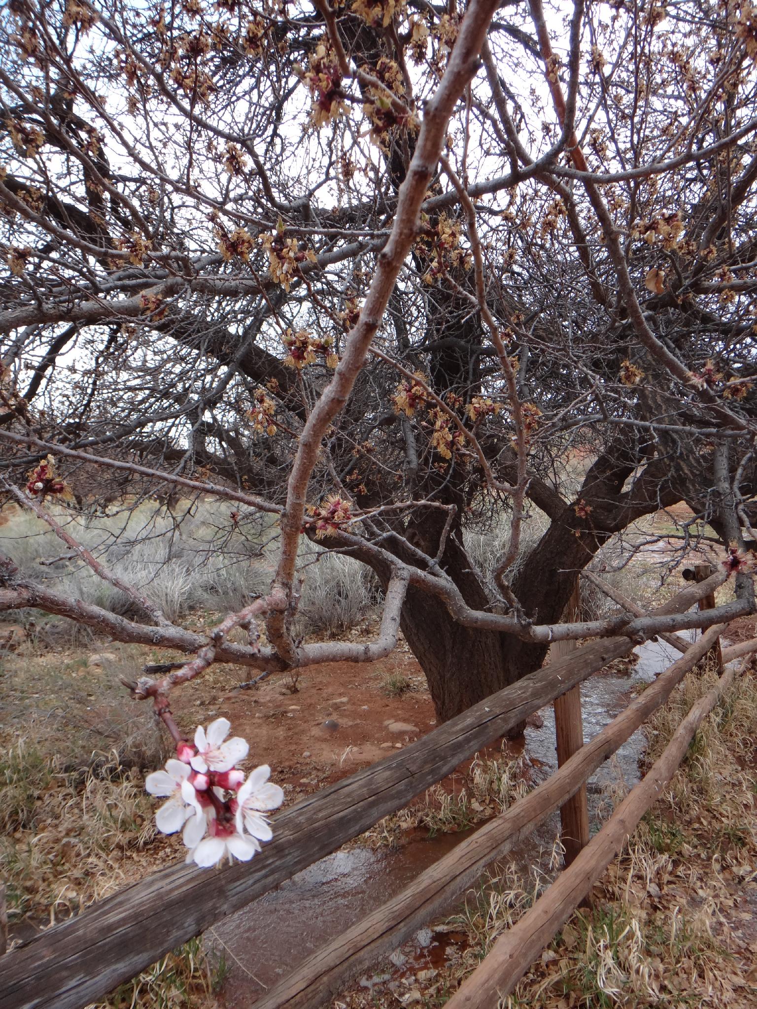
From the amphitheater parking, follow the trail as it hugs the bank of the Fremont River. The orchard on the left is often home to deer and other wildlife. The trail quickly begins leaving the valley floor and making a steep climb up a hill on Miners Mountain. Near the top, a flat section overlooks the Fremont River Gorge and makes a nice rest spot. From the viewpoint, it is another 5-10 minutes and more uphill to the end of the trail that overlooks the visitor center, Fruita, the Waterpocket Fold, and Miners Mountain. Return the same way.


Maps

Route / 2.05 miles / Elevation Range 5,446 - 5,925 ft.
Printable Maps:
Trailhead

12S 478093mE 4237095mN

N38° 16' 54" W111° 15' 02"

Viewpoint

12S 477329mE 4236119mN

N38° 16' 22" W111° 15' 33"

Comments

Want to make a comment? Login and let yourself be heard.